Sunnyhill Coppice
Wood, Forest in Worcestershire Bromsgrove
England
Sunnyhill Coppice

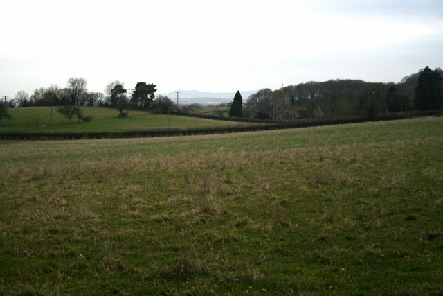
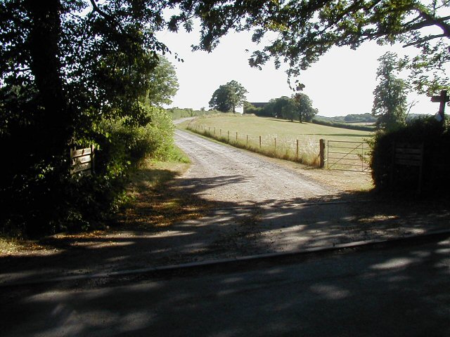
Sunnyhill Coppice is a picturesque woodland located in Worcestershire, England. Covering an area of approximately 50 acres, it is a stunning example of a coppice, a managed woodland consisting mainly of broadleaf trees. The coppice is situated on a gently sloping hill, providing visitors with breathtaking views of the surrounding countryside.
The woodland is predominantly made up of oak, ash, and beech trees, creating a diverse and vibrant ecosystem. These trees have been carefully managed over the years, with regular coppicing carried out to promote the growth of new shoots and maintain a healthy woodland habitat. This traditional practice also provides a sustainable source of timber for local industries.
Sunnyhill Coppice is home to a wide variety of wildlife, making it a haven for nature enthusiasts and birdwatchers. Visitors may spot species such as woodpeckers, owls, and various songbirds, as well as small mammals like squirrels and foxes. The woodland floor is adorned with a carpet of wildflowers during the spring and summer months, attracting butterflies and other pollinators.
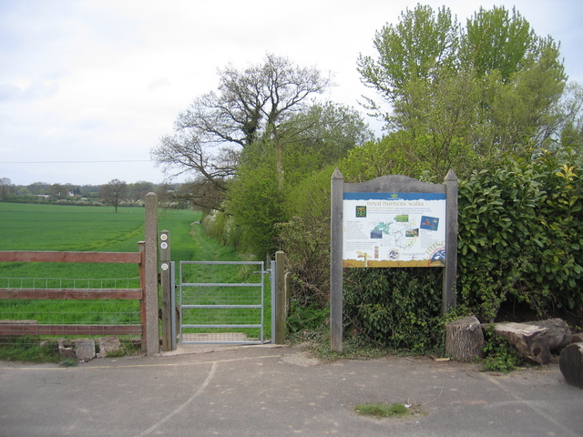
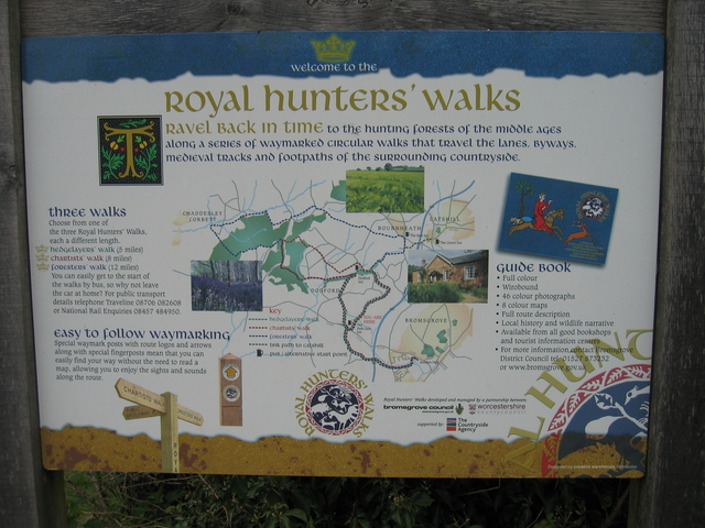
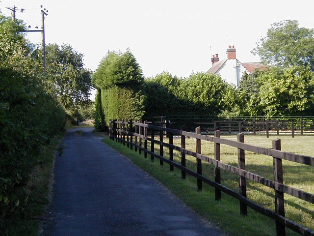
The coppice is accessible to the public via well-maintained footpaths, allowing visitors to explore its beauty at their own pace. It is a popular destination for walkers, joggers, and families looking to enjoy a peaceful day out in nature. Interpretive signs located throughout the woodland provide information about the flora and fauna, enhancing the educational value of the site.
Sunnyhill Coppice is not only a place of natural beauty but also an important site for conservation and sustainable woodland management. Its tranquil ambiance, diverse wildlife, and scenic views make it a true gem in the Worcestershire countryside.
If you have any feedback on the listing, please let us know in the comments section below.
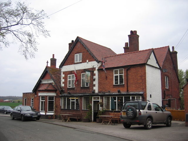
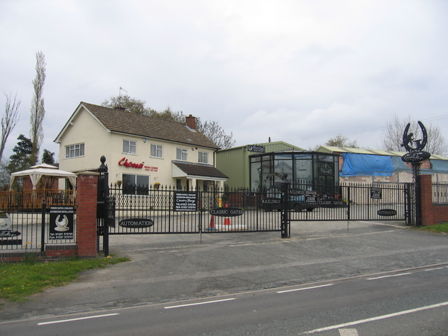
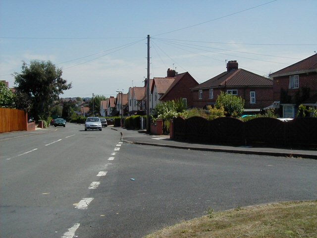
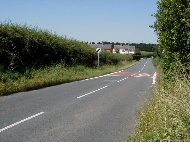
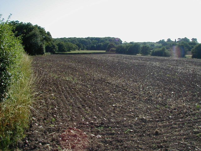
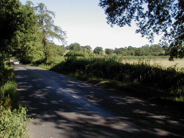
Sunnyhill Coppice Images
Images are sourced within 2km of 52.354286/-2.0852744 or Grid Reference SO9472. Thanks to Geograph Open Source API. All images are credited.


Sunnyhill Coppice is located at Grid Ref: SO9472 (Lat: 52.354286, Lng: -2.0852744)
Administrative County: Worcestershire
District: Bromsgrove
Police Authority: West Mercia
What 3 Words
///anchovies.optimists.selection. Near Bromsgrove, Worcestershire
Nearby Locations
Related Wikis

Alfred's Well, Worcestershire
Alfred's Well is a hamlet in the civil parish of Dodford in the Bromsgrove District of Worcestershire, England. Its nearest town is Bromsgrove. == References... ==
Dodford Priory
Dodford Priory in the parish of Bromsgrove in Worcestershire in the current village of Dodford, was a small Augustinian monastery. == History == It was...

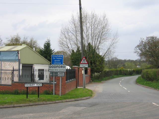
Dodford, Worcestershire
Dodford is a village in the Bromsgrove district of Worcestershire, England, approximately 3 miles (4.8 km) west of Bromsgrove, officially founded on 2...
Bournheath
Bournheath is a village and civil parish in the Bromsgrove District of Worcestershire, England, about three miles north of Bromsgrove. According to the...

Rosedene
Rosedene is a cottage built as part of the Great Dodford Chartist settlement. It is the best preserved example of a Chartist cottage built by the National...
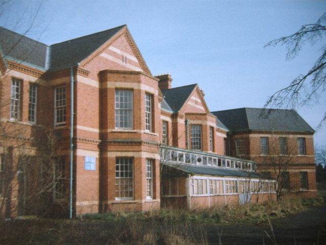
Barnsley Hall Hospital
Barnsley Hall Hospital was a psychiatric facility located in Bromsgrove, Worcestershire. == History == The hospital was based on a 324-acre (131 ha) site...

Catshill
Catshill is a village in Worcestershire about 2.5 miles north of Bromsgrove and 10 miles south-west of Birmingham. The parish of Catshill was formed around...
Sidemoor
Sidemoor is a village within the urban area of Bromsgrove, Worcestershire. The local school, Sidemoor First School, opened in 1884 and was relocated in...
Nearby Amenities
Located within 500m of 52.354286,-2.0852744Have you been to Sunnyhill Coppice?
Leave your review of Sunnyhill Coppice below (or comments, questions and feedback).