Berryhill Pit Moor

Wood, Forest in Northumberland

England

Berryhill Pit Moor

Round bales, Berryhill
Round bales, Berryhill Credit: Richard Webb

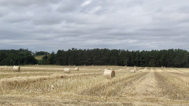
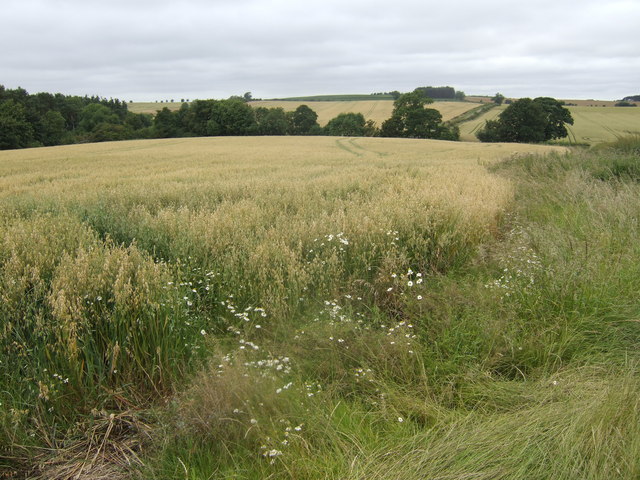
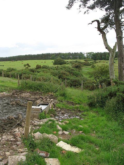
Berryhill Pit Moor is a woodland and forest located in Northumberland, England. Spanning an area of approximately 200 acres, it is situated near the village of Berryhill and is a prominent natural attraction in the region.

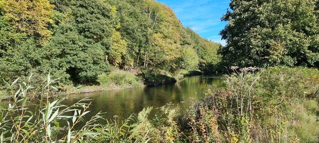
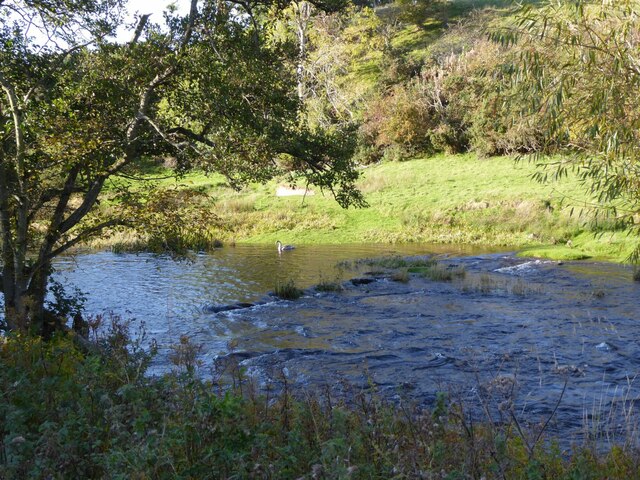
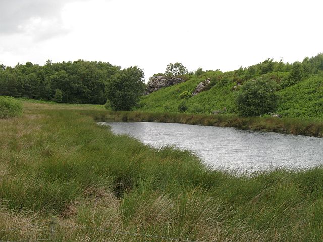
The forest consists mainly of mature trees such as oak, beech, and birch, providing a diverse and rich ecosystem for various flora and fauna. The dense canopy created by these trees offers a cool and shaded environment, making it an ideal spot for nature enthusiasts and hikers alike.

Berryhill Pit Moor is known for its well-maintained walking trails that wind through the forest, providing visitors with an opportunity to explore the natural beauty of the area. The trails are marked and offer varying levels of difficulty, catering to both casual walkers and more experienced hikers.

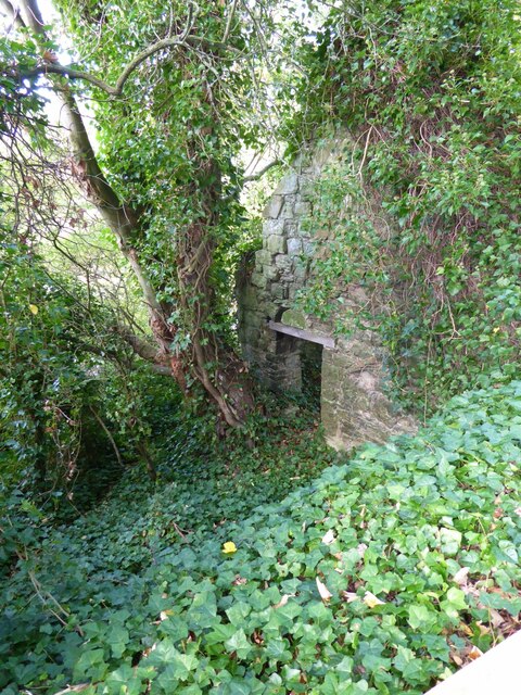
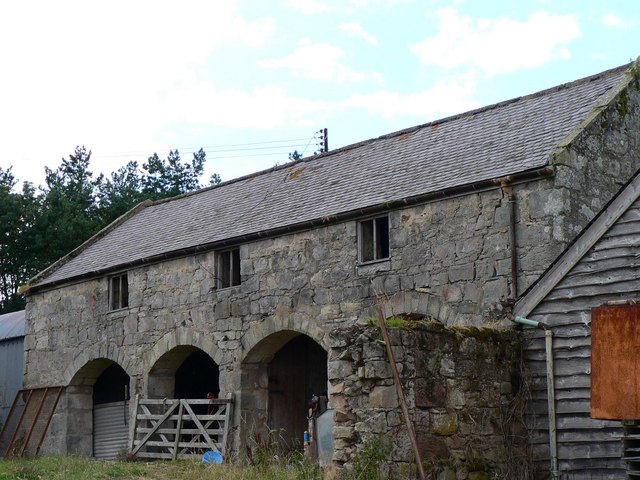
In addition to its natural beauty, the forest also holds historical significance. It was once the site of a coal mine, with remnants of the mining activities still visible in certain areas. These remnants serve as a reminder of the region's industrial past and add to the unique character of the forest.

The woodland is also home to a variety of wildlife, including deer, foxes, and a wide range of bird species. Birdwatchers often visit the area to catch glimpses of rare and migratory birds.

Overall, Berryhill Pit Moor is a captivating woodland and forest that offers a tranquil and immersive experience for nature enthusiasts. Its rich biodiversity, well-maintained trails, and historical significance make it a must-visit destination in Northumberland.

If you have any feedback on the listing, please let us know in the comments section below.

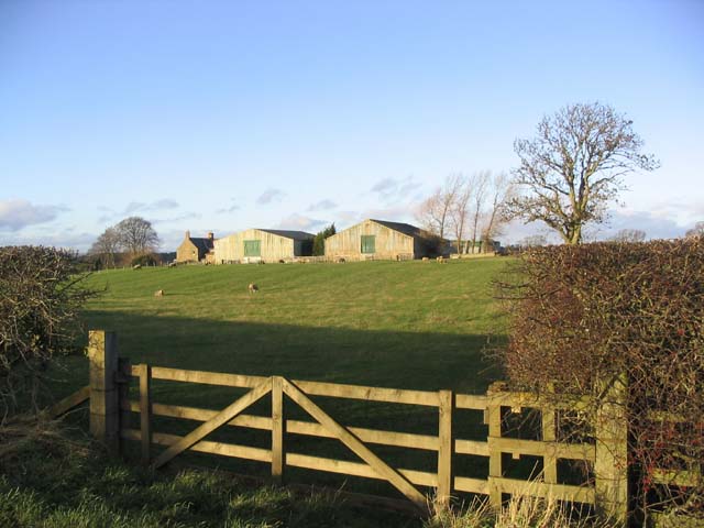
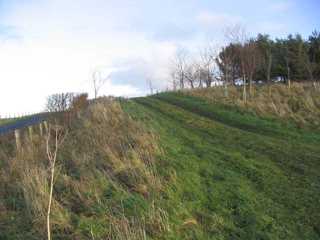
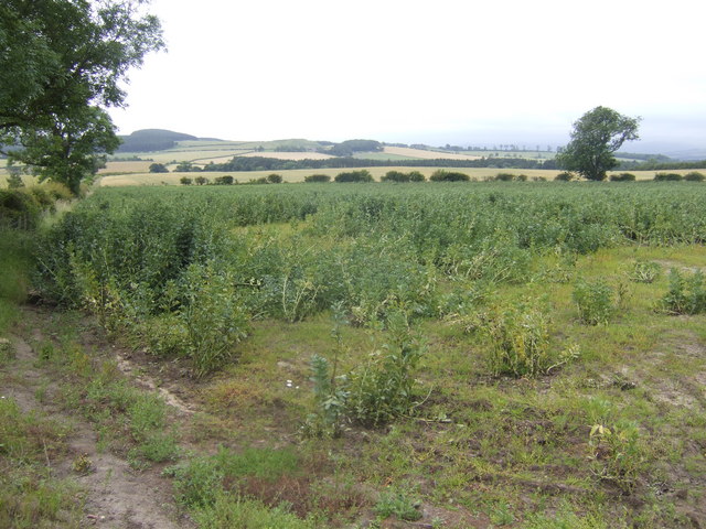
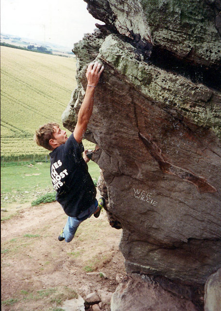
Berryhill Pit Moor Images

Images are sourced within 2km of 55.658115/-2.0923143 or Grid Reference NT9440. Thanks to Geograph Open Source API. All images are credited.

Round bales, Berryhill
B6354, Berryhill
B6354, Berryhill
Barleymill Covert, Northumberland Looking northeast along the southern bank of the River Till in the vicinity of Barleymill Covert.
Barleymill Covert, Northumberland
Looking northeast along the southern bank of the River Till in the vicinity of Barleymill Covert.
View of the River Till View much improved by Storm Arwen blowing down the now logged tree beside the path.
View of the River Till
View much improved by Storm Arwen blowing down the now logged tree beside the path.
Young swan on the River Till By Barleymill Bank.
Young swan on the River Till
By Barleymill Bank.
Remains of Etal Barley Mill There are records of a mill here since at least the late 18th century.
Remains of Etal Barley Mill
There are records of a mill here since at least the late 18th century.
Rhodes Hill trig
Rhodes Hill trig
Duddo Tower Remains of a medieval tower house at Duddo, near Berwick-upon-Tweed. More information at <span class="nowrap"><a title="http://www.keystothepast.info/durhamcc/K2P.nsf/K2PDetail?readform&PRN=N2339" rel="nofollow ugc noopener" href="http://www.keystothepast.info/durhamcc/K2P.nsf/K2PDetail?readform&PRN=N2339">Link</a><img style="margin-left:2px;" alt="External link" title="External link - shift click to open in new window" src="https://s1.geograph.org.uk/img/external.png" width="10" height="10"/></span>.
Duddo Tower
Remains of a medieval tower house at Duddo, near Berwick-upon-Tweed. More information at LinkExternal link.
Climbing at Berry Hill Superb Northumberland sandstone provides great climbing in the area. The rock is weathered into strange flutings and arches - a friend said it's like climbing on a cathedral. The tracks below are from the sheep & cattle in the field
Climbing at Berry Hill
Superb Northumberland sandstone provides great climbing in the area. The rock is weathered into strange flutings and arches - a friend said it's like climbing on a cathedral. The tracks below are from the sheep & cattle in the field
Duddo Tower and B6354 View of the Scheduled Monument and Grade II Listed Building, Duddo Tower from the south taken from the B6354 just north of Greenlaw Walls.
Duddo Tower and B6354
View of the Scheduled Monument and Grade II Listed Building, Duddo Tower from the south taken from the B6354 just north of Greenlaw Walls.
Gatherick Farm
Gatherick Farm
Field track Connecting two fields at the end of a shelter belt.
Field track
Connecting two fields at the end of a shelter belt.
View south from Duddo Hill Towards the Cheviots over the Till valley.
View south from Duddo Hill
Towards the Cheviots over the Till valley.
View towards Duddo Hill Oats, barley and wheat all in view.
View towards Duddo Hill
Oats, barley and wheat all in view.
Berryhill Crag A south facing sandstone crag with some good climbing potential
Berryhill Crag
A south facing sandstone crag with some good climbing potential
Tindal House Farm Despite appearing to be derelict these cart sheds are still in use.
Tindal House Farm
Despite appearing to be derelict these cart sheds are still in use.
Pond and crag, Etal Moor Fell sandstone outcrops.
Pond and crag, Etal Moor
Fell sandstone outcrops.
Fenced off path, Hazely Hill Fenced off area around a field, probably to enable cattle to be moved through a field without mixing. The field with the trough had cows and calves in it, and the background field contained approx. year old cattle.
Fenced off path, Hazely Hill
Fenced off area around a field, probably to enable cattle to be moved through a field without mixing. The field with the trough had cows and calves in it, and the background field contained approx. year old cattle.
Show me another place!

Berryhill Pit Moor is located at Grid Ref: NT9440 (Lat: 55.658115, Lng: -2.0923143)

Unitary Authority: Northumberland

Police Authority: Northumbria

What 3 Words

///script.mysteries.ordinary. Near Ford, Northumberland

Related Wikis

Duddo Tower

Duddo Tower is a Scheduled Ancient Monument and a Grade II listed building comprising the ruinous remains of an ancient pele tower and 16th century tower...

Etal, Northumberland

Etal ( EE-təl) is a small village in the far north of the county of Northumberland, England, in the civil parish of Ford. It lies on a bridging point of...

Etal Castle

Etal Castle is a ruined medieval fortification in the village of Etal, Northumberland, England. It was built around 1341 by Robert Manners, and comprised...

Duddo

Duddo is a village and civil parish in Northumberland, about 8 miles (13 km) southwest of Berwick-upon-Tweed. == History == Duddo Five Stones is a stone...

Nearby Amenities

Located within 500m of 55.658115,-2.0923143
Berryhill Pit Moor
Place: locality
Lat/Long: 55.6581491/-2.090774
Barrier: stile
Lat/Long: 55.6609553/-2.0868227
The data included in this document is from www.openstreetmap.org. The data is made available under ODbL.

Have you been to Berryhill Pit Moor?

Leave your review of Berryhill Pit Moor below (or comments, questions and feedback).