Pitmans Stile Plantation

Wood, Forest in Northumberland

England

Pitmans Stile Plantation

Round bales, Berryhill
Round bales, Berryhill Credit: Richard Webb

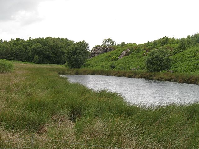
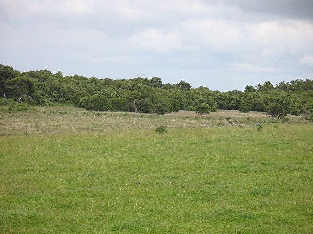
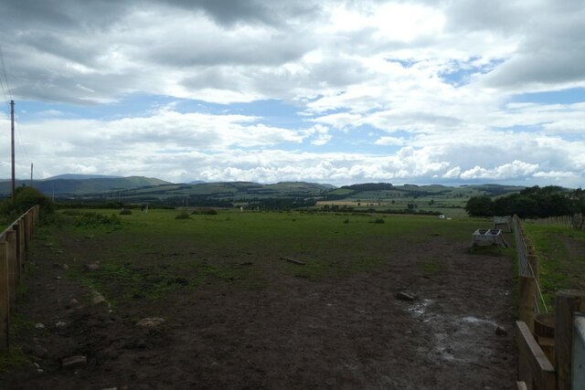
Pitmans Stile Plantation is a charming woodland area located in Northumberland, England. Covering an expansive area, this plantation is a haven for nature enthusiasts and those looking to escape the hustle and bustle of everyday life.

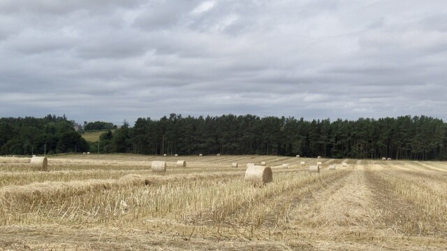
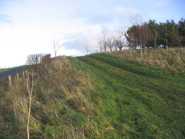
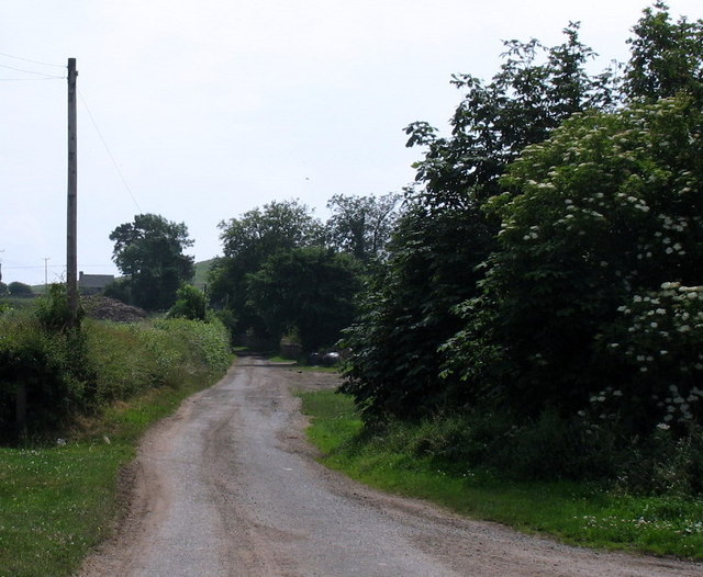
The woodland is predominantly made up of a variety of deciduous and coniferous trees, including oak, birch, and pine. This diverse mix of tree species creates a rich and vibrant ecosystem, supporting a wide range of flora and fauna. The forest floor is adorned with an array of wildflowers, adding to the area's natural beauty.

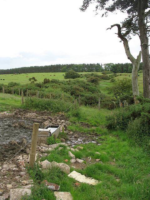
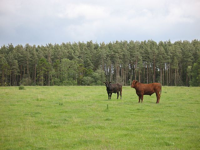
The plantation is crisscrossed by a network of well-maintained walking trails, allowing visitors to explore its hidden corners and discover its many delights. Along these trails, visitors may encounter various wildlife species, such as squirrels, rabbits, and a variety of bird species, including woodpeckers and finches.

Pitmans Stile Plantation offers a tranquil and peaceful environment, perfect for picnics, leisurely walks, and nature photography. The plantation is often frequented by locals and tourists alike, who appreciate its serene atmosphere and stunning scenery.

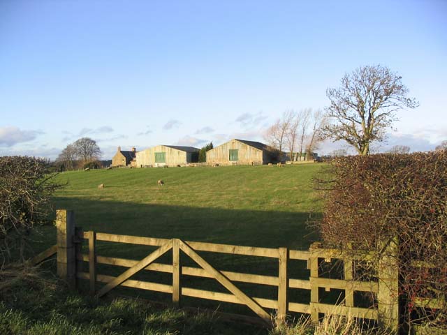
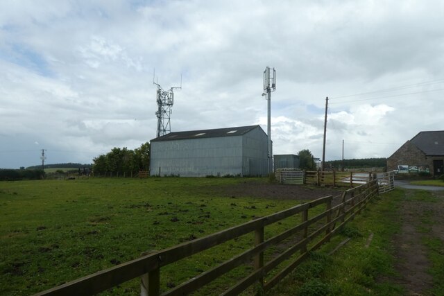
Managed by local authorities, Pitmans Stile Plantation is a well-preserved and well-maintained woodland area. The plantation provides a valuable habitat for wildlife and contributes to the conservation efforts in the region.

Whether you are a nature lover, a photography enthusiast, or simply seeking solace in the beauty of nature, Pitmans Stile Plantation is a must-visit destination in Northumberland.

If you have any feedback on the listing, please let us know in the comments section below.

Pitmans Stile Plantation Images

Images are sourced within 2km of 55.653998/-2.082849 or Grid Reference NT9440. Thanks to Geograph Open Source API. All images are credited.

Round bales, Berryhill
B6354, Berryhill
B6354, Berryhill
Rhodes Hill trig
Rhodes Hill trig
Climbing at Berry Hill Superb Northumberland sandstone provides great climbing in the area. The rock is weathered into strange flutings and arches - a friend said it's like climbing on a cathedral. The tracks below are from the sheep & cattle in the field
Climbing at Berry Hill
Superb Northumberland sandstone provides great climbing in the area. The rock is weathered into strange flutings and arches - a friend said it's like climbing on a cathedral. The tracks below are from the sheep & cattle in the field
Gatherick Farm
Gatherick Farm
Field track Connecting two fields at the end of a shelter belt.
Field track
Connecting two fields at the end of a shelter belt.
Berryhill Crag A south facing sandstone crag with some good climbing potential
Berryhill Crag
A south facing sandstone crag with some good climbing potential
Pond and crag, Etal Moor Fell sandstone outcrops.
Pond and crag, Etal Moor
Fell sandstone outcrops.
Fenced off path, Hazely Hill Fenced off area around a field, probably to enable cattle to be moved through a field without mixing. The field with the trough had cows and calves in it, and the background field contained approx. year old cattle.
Fenced off path, Hazely Hill
Fenced off area around a field, probably to enable cattle to be moved through a field without mixing. The field with the trough had cows and calves in it, and the background field contained approx. year old cattle.
Woodside Moor A mix of woodland and good grazing for cattle, not rough grazing as shown on the map.
Woodside Moor
A mix of woodland and good grazing for cattle, not rough grazing as shown on the map.
Cattle, Watchlaw Field between plantations. The cattle were very much on the nervous side of curiosity, and only when it was obvious that I was leaving along the bridleway did they do their usual cautious advancing trick that some folk find unnerving.
Cattle, Watchlaw
Field between plantations. The cattle were very much on the nervous side of curiosity, and only when it was obvious that I was leaving along the bridleway did they do their usual cautious advancing trick that some folk find unnerving.
Lane to Berryhill farm and crags
Hay Farm Looking across the yard at Hay Farm which has a number of heavy horses.
Hay Farm
Looking across the yard at Hay Farm which has a number of heavy horses.
Fields near Hay Farm Looking across a horse field above Ford.
Fields near Hay Farm
Looking across a horse field above Ford.
Tractor at Hay Farm Looking towards Hay Farm which is a Heavy Horse centre open to the public.
Tractor at Hay Farm
Looking towards Hay Farm which is a Heavy Horse centre open to the public.
Field at Hay Farm Looking across a field close to the heavy horse centre at Hay Farm.
Field at Hay Farm
Looking across a field close to the heavy horse centre at Hay Farm.
Horse field at Hay Farm Hay Farm is a heavy horse centre near Ford.
Horse field at Hay Farm
Hay Farm is a heavy horse centre near Ford.
Communications mast at Hay Farm Looking towards some mobile communications infrastructure above Ford.
Communications mast at Hay Farm
Looking towards some mobile communications infrastructure above Ford.
Show me another place!

Pitmans Stile Plantation is located at Grid Ref: NT9440 (Lat: 55.653998, Lng: -2.082849)

Unitary Authority: Northumberland

Police Authority: Northumbria

What 3 Words

///lunging.utter.cucumber. Near Ford, Northumberland

Related Wikis

Heatherslaw Mill

Heatherslaw Mill is a water mill situated on the Ford and Etal Estate, 7 miles north of the town of Wooler in the English county of Northumberland. It...

Etal, Northumberland

Etal ( EE-təl) is a small village in the far north of the county of Northumberland, England, in the civil parish of Ford. It lies on a bridging point of...

Ford Forge

Ford Forge (Ford Mill), Northumberland, England is located on the River Till between the villages of Ford and Etal. Buildings housing a water-powered forge...

Etal Castle

Etal Castle is a ruined medieval fortification in the village of Etal, Northumberland, England. It was built around 1341 by Robert Manners, and comprised...

Nearby Amenities

Located within 500m of 55.653998,-2.082849
Rhodes Hill
Ele: 146
Natural: peak
Lat/Long: 55.654512/-2.086575
The data included in this document is from www.openstreetmap.org. The data is made available under ODbL.

Have you been to Pitmans Stile Plantation?

Leave your review of Pitmans Stile Plantation below (or comments, questions and feedback).