River Wood
Wood, Forest in Cheshire
England
River Wood
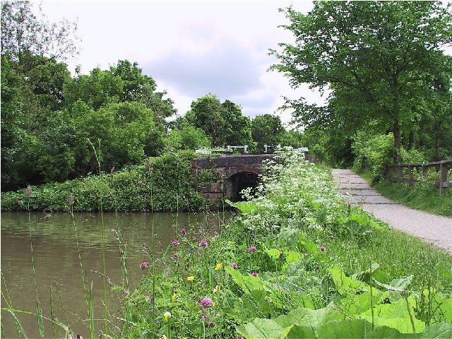
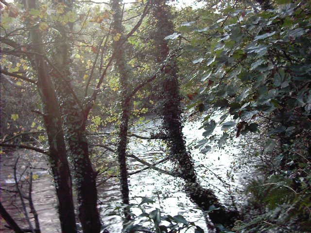
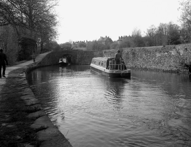
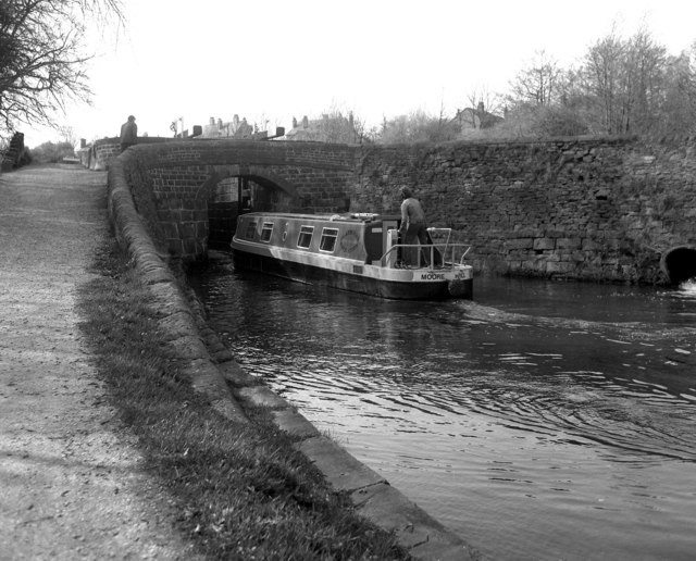
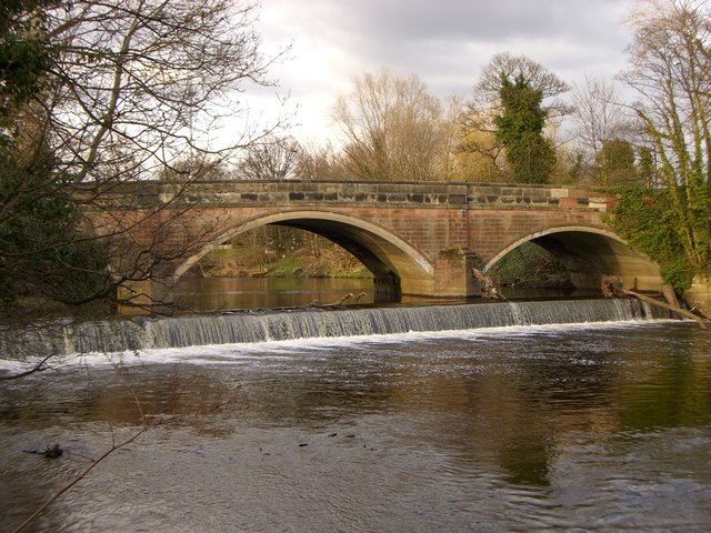
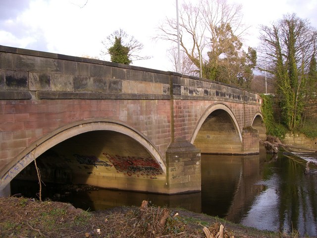
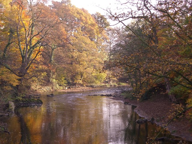
River Wood is a picturesque and charming area located in Cheshire, England. Situated on the banks of the River Dee, this woodland expanse covers approximately 500 acres and is a popular destination for nature lovers and outdoor enthusiasts alike. The wood gets its name from the tranquil river that flows through it, enhancing its natural beauty and providing a serene ambiance.
The woodland is predominantly made up of deciduous trees, including oak, beech, and birch, which create a diverse and vibrant landscape throughout the year. The forest floor is adorned with a rich carpet of ferns, bluebells, and wildflowers, adding a splash of color to the surroundings.
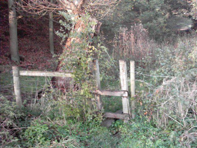
River Wood offers an extensive network of well-maintained trails, making it perfect for leisurely walks, jogging, and cycling. These paths wind through the wood, providing visitors with the opportunity to explore its hidden corners and discover its hidden gems. The wood is also home to a variety of wildlife, including squirrels, deer, and a wide array of bird species, making it a haven for wildlife enthusiasts and birdwatchers.
Additionally, River Wood has designated picnic areas and benches, allowing visitors to stop and enjoy a peaceful moment while taking in the breathtaking scenery. The wood also features a small café where visitors can indulge in refreshments and snacks.
Overall, River Wood in Cheshire is a captivating and enchanting destination, offering a tranquil escape from the hustle and bustle of everyday life. Its natural beauty, diverse wildlife, and well-maintained trails make it a must-visit location for anyone seeking a peaceful and enjoyable outdoor experience.
If you have any feedback on the listing, please let us know in the comments section below.
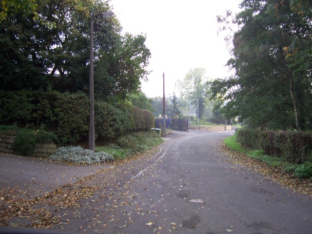
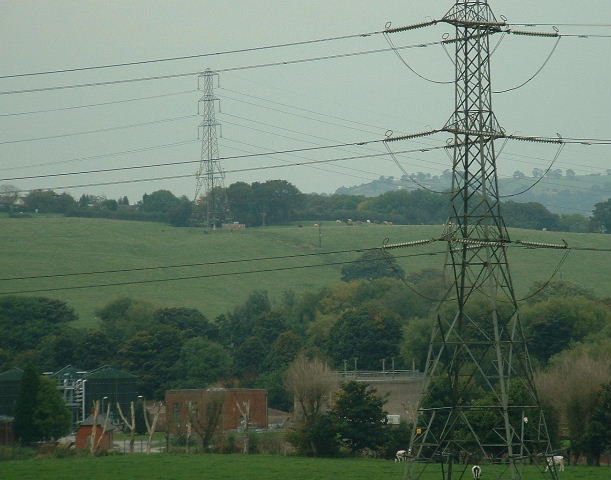
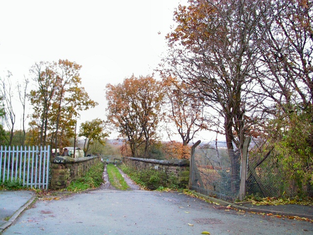
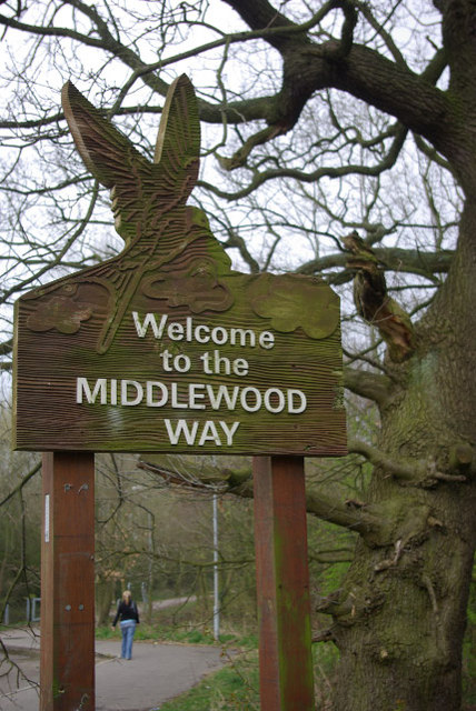
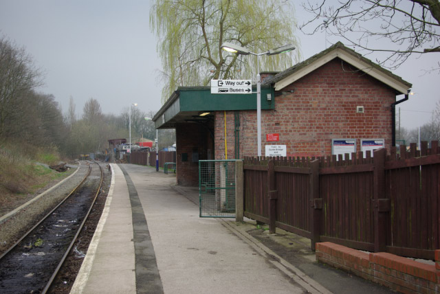
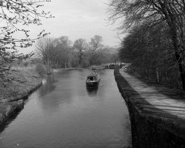
River Wood Images
Images are sourced within 2km of 53.407935/-2.0874033 or Grid Reference SJ9490. Thanks to Geograph Open Source API. All images are credited.
River Wood is located at Grid Ref: SJ9490 (Lat: 53.407935, Lng: -2.0874033)
Unitary Authority: Stockport
Police Authority: Greater Manchester
What 3 Words
///shady.torch.liked. Near Marple, Manchester
Nearby Locations
Related Wikis

Chadkirk Chapel
Chadkirk Chapel is a restored historic chapel near Romiley in the Metropolitan Borough of Stockport in Greater Manchester, England. It is recorded in...

Romiley
Romiley is a village in the Metropolitan Borough of Stockport, Greater Manchester, England. Historically part of Cheshire, it borders Marple, Bredbury...

Chadkirk
Chadkirk is an area in the Metropolitan Borough of Stockport in Greater Manchester, England. It is located between the River Goyt and the Peak Forest Canal...
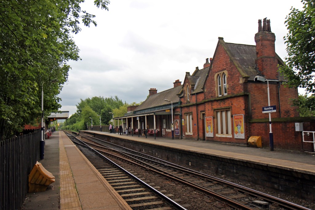
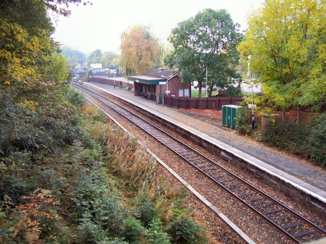
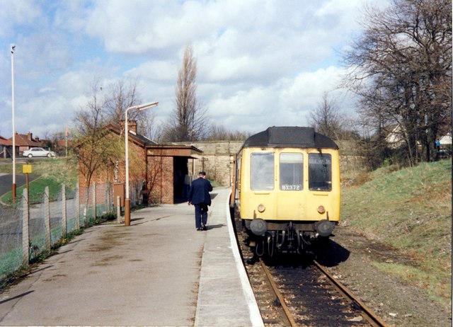
Romiley railway station
Romiley railway station serves Romiley, in the Metropolitan Borough of Stockport, Greater Manchester, England. == History == The station was built by...
Nearby Amenities
Located within 500m of 53.407935,-2.0874033Have you been to River Wood?
Leave your review of River Wood below (or comments, questions and feedback).