Moor Rigg

Hill, Mountain in Yorkshire

England

Moor Rigg

Rumours and Uttas Rumours coffee shop and the HQ of the Upper Teesdale Agricultural Support Services.
Rumours and Uttas Credit: Colin Kinnear

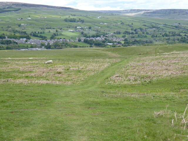
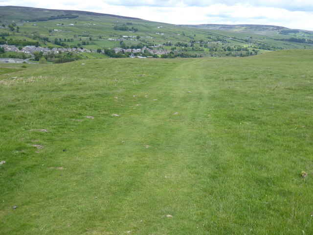
Moor Rigg is a prominent hill located in the picturesque region of Yorkshire, England. Situated in the North York Moors National Park, it offers breathtaking panoramic views of the surrounding countryside. Moor Rigg stands at an elevation of approximately 400 meters above sea level, making it a popular destination for hikers and nature enthusiasts.

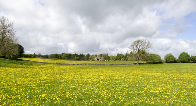
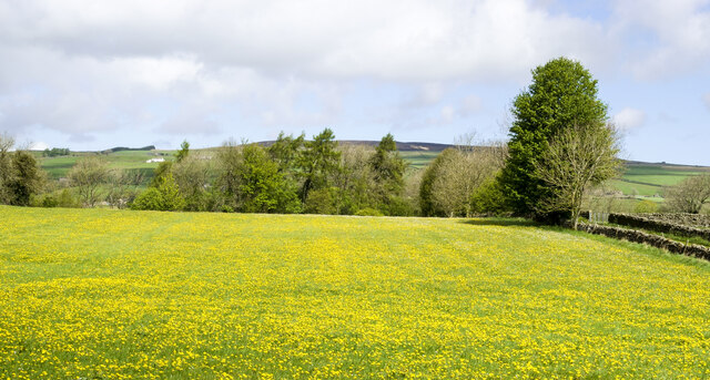
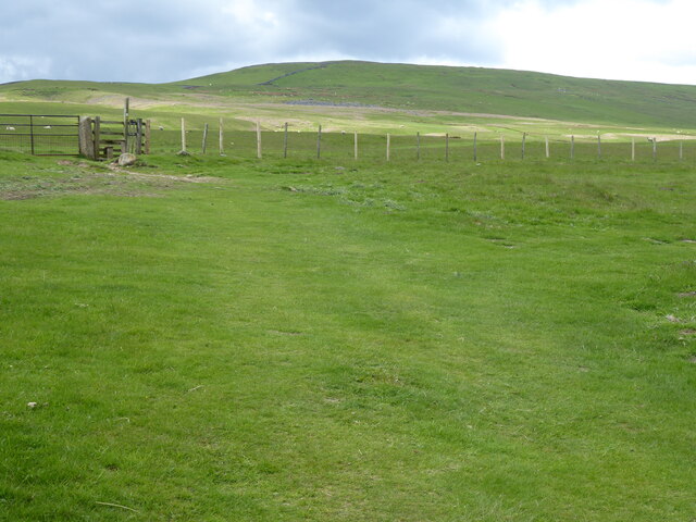
Covered in heather, grasses, and occasional patches of woodland, Moor Rigg is a haven for diverse flora and fauna. The hill's unique ecosystem supports a variety of bird species, including the iconic red grouse and curlew. Visitors may also catch a glimpse of wild rabbits, deer, and other small mammals that inhabit the area.

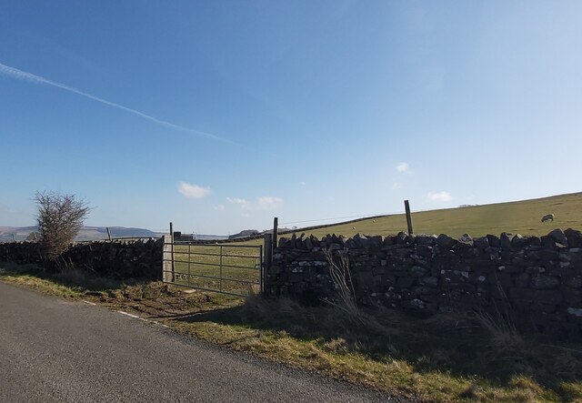
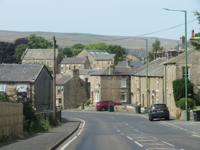
The hill's terrain is characterized by undulating slopes and rocky outcrops, providing an exciting challenge for climbers and adventure seekers. The summit offers a magnificent vantage point, allowing visitors to admire the rolling hills, valleys, and distant villages that stretch out as far as the eye can see.

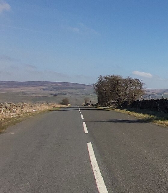
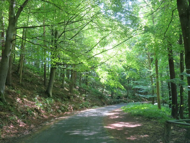
Moor Rigg is accessible via well-marked footpaths that wind through the surrounding moorland. The hill attracts both experienced hikers and casual walkers, offering a range of trails suitable for different levels of fitness. As visitors ascend, they can enjoy the peace and tranquility of the natural surroundings, interrupted only by the occasional call of a bird or the rustling of the wind through the grass.

For those seeking a true Yorkshire countryside experience, Moor Rigg provides an opportunity to immerse oneself in the beauty and serenity of this remarkable landscape. Whether it's a peaceful stroll or a challenging hike, this hill offers an unforgettable experience for all who venture to its summit.

If you have any feedback on the listing, please let us know in the comments section below.
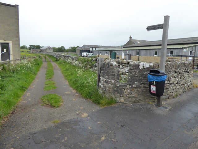
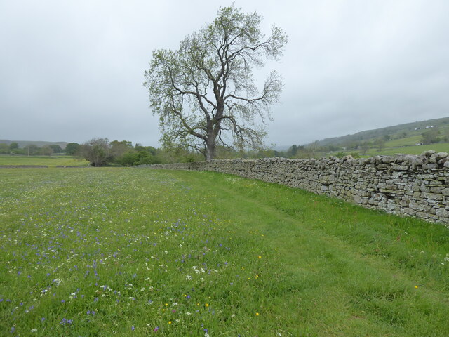
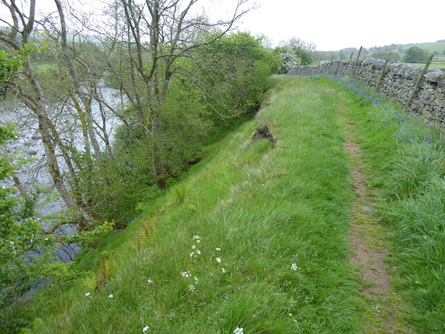
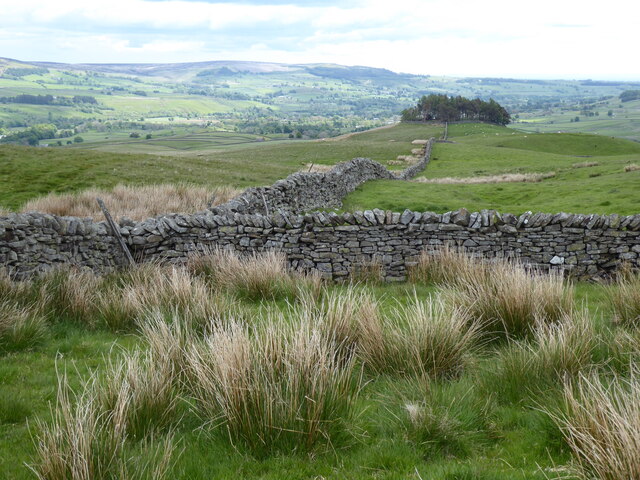
Moor Rigg Images

Images are sourced within 2km of 54.613495/-2.0830068 or Grid Reference NY9424. Thanks to Geograph Open Source API. All images are credited.

Rumours and Uttas Rumours coffee shop and the HQ of the Upper Teesdale Agricultural Support Services.
Rumours and Uttas
Rumours coffee shop and the HQ of the Upper Teesdale Agricultural Support Services.
Gated field near Swallow Hole
West Pasture Road
West Pasture Road
Fields with dandelions Two fields in Teesdale close to Mickleton with countless dandelions among the grass.
Fields with dandelions
Two fields in Teesdale close to Mickleton with countless dandelions among the grass.
Massed dandelions in field The field is close to Mickleton and south of the River Lune as it heads towards its confluence with the Tees.
Massed dandelions in field
The field is close to Mickleton and south of the River Lune as it heads towards its confluence with the Tees.
Entering Middleton-in-Teesdale on the B6282 Entering the village on a wet day
Entering Middleton-in-Teesdale on the B6282
Entering the village on a wet day
Former Methodist Chapel, Middleton-in-Teesdale Former Primitive Methodist Church, now a private dwelling
Former Methodist Chapel, Middleton-in-Teesdale
Former Primitive Methodist Church, now a private dwelling
Bridge along the Tees railway walk. Walking back to Romaldkirk.
Bridge along the Tees railway walk.
Walking back to Romaldkirk.
The Pennine Way near Middleton-in-Teesdale
The Pennine Way near East Crossthwaite
The Pennine Way near Middle Crossthwaite
The Pennine Way near Crossthwaite Common
View towards Kirkcarrion from the Pennine Way
The Pennine Way near Crossthwaite Common
The Pennine Way near Middleton Quarries
The Pennine Way towards Rams Gill
Heading into Middleton in Teesdale The B6282 dropping into Middleton from the direction of Eggleston.
Heading into Middleton in Teesdale
The B6282 dropping into Middleton from the direction of Eggleston.
Road through the woods Heading south towards Middleton in Teesdale along the minor road above the Hudeshope Beck.
Road through the woods
Heading south towards Middleton in Teesdale along the minor road above the Hudeshope Beck.
Show me another place!

Moor Rigg is located at Grid Ref: NY9424 (Lat: 54.613495, Lng: -2.0830068)

Division: North Riding

Unitary Authority: County Durham

Police Authority: Durham

What 3 Words

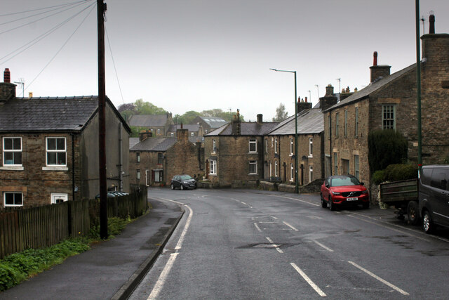
///unfilled.spurring.lavender. Near Mickleton, Co. Durham

Related Wikis

Middleton Quarry

Middleton Quarry is a Site of Special Scientific Interest in the Teesdale district of west County Durham, England. It is a disused quarry, from which...

Middleton-in-Teesdale railway station

Middleton-in-Teesdale railway station was the terminus of the Tees Valley Railway from Barnard Castle. It served the town of Middleton-in-Teesdale. The...

Laithkirk

Laithkirk is a small hamlet of three houses and a small church in County Durham, in England. All of the houses in Laithkirk are accessed by an unnamed...

Kirkcarrion

Kirkcarrion is a copse of pine trees, surrounded by a stone wall, on a hilltop near Middleton-in-Teesdale, County Durham, England. The trees, which were...

Nearby Amenities

Located within 500m of 54.613495,-2.0830068
Bowbank
Place: hamlet
Wikidata: Q4950710
Wikipedia: en:Bowbank
Lat/Long: 54.6092041/-2.0840324
Bowbank Fell
Place: locality
Source: OS 1:25k
Lat/Long: 54.6100936/-2.0872287
Moor Rigg
Natural: peak
Source: OS 1:25k
Lat/Long: 54.6135848/-2.0832397
Barrier: entrance
Lat/Long: 54.6108561/-2.0881432
Barrier: entrance
Lat/Long: 54.6107768/-2.085482
Barrier: entrance
Lat/Long: 54.6094588/-2.0860527
Natural: shakehole
Source: NLS-OS-NatGrid-110k-1940-60
Lat/Long: 54.6131571/-2.0867436
Natural: shakehole
Source: NLS-OS-NatGrid-110k-1940-60
Lat/Long: 54.6126594/-2.083246
Natural: shakehole
Source: NLS-OS-NatGrid-110k-1940-60
Lat/Long: 54.6127595/-2.0831602
Natural: shakehole
Source: NLS-OS-NatGrid-110k-1940-60
Lat/Long: 54.6128831/-2.0830314
Power: pole
Transformer: distribution
Lat/Long: 54.6091101/-2.0829512
Bench
Backrest: yes
Lat/Long: 54.615074/-2.0882271
Power: pole
Lat/Long: 54.6175357/-2.0799123
The data included in this document is from www.openstreetmap.org. The data is made available under ODbL.

Have you been to Moor Rigg?

Leave your review of Moor Rigg below (or comments, questions and feedback).