Intake Hill
Hill, Mountain in Yorkshire
England
Intake Hill

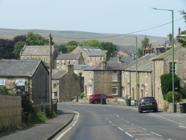
Intake Hill is a prominent geographical feature located in the county of Yorkshire, England. Situated near the village of Holme, this hill stands at an elevation of approximately 450 meters above sea level, making it one of the highest points in the surrounding region.
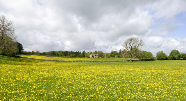
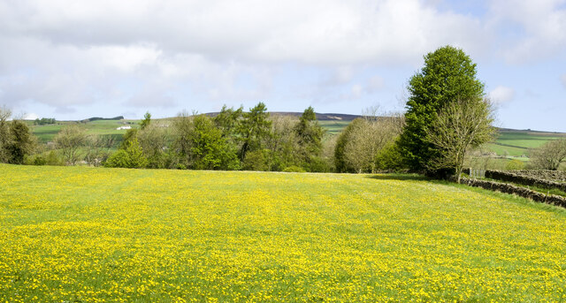
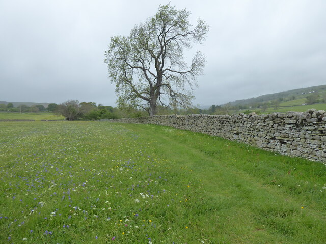
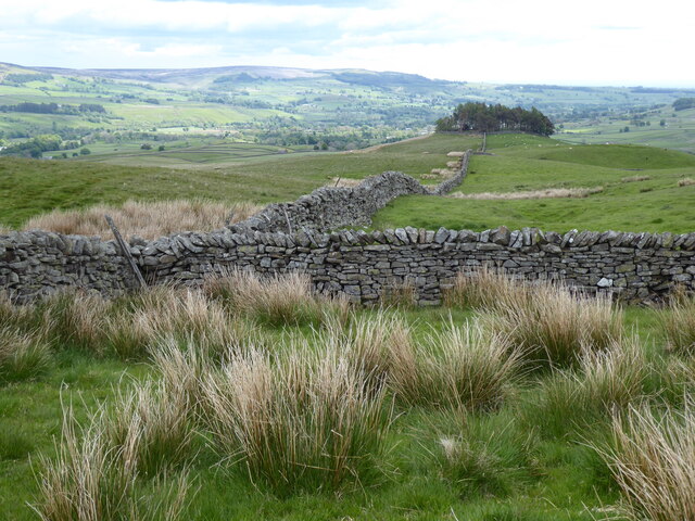
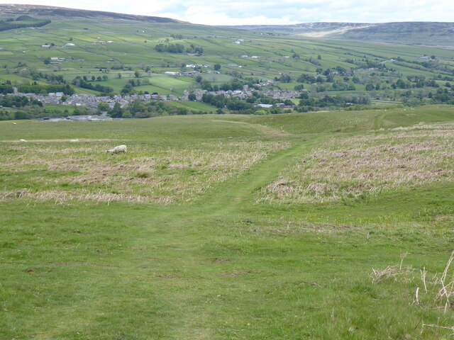
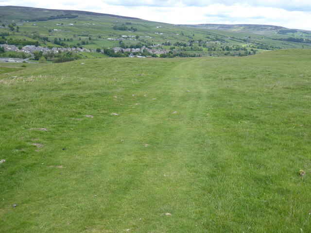
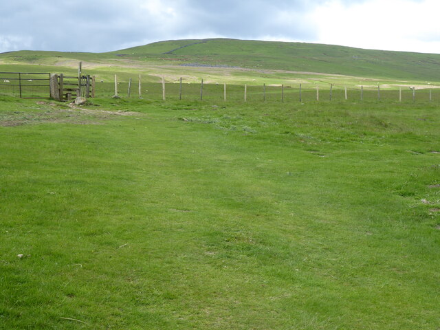
The hill is characterized by its gently sloping sides and an expansive plateau at its summit. The landscape is predominantly covered in lush green vegetation, including grasses, heather, and scattered trees, creating a picturesque view from all angles. The summit provides a commanding vantage point, offering panoramic views of the surrounding countryside, including the nearby Holme Moss and the Peak District National Park.
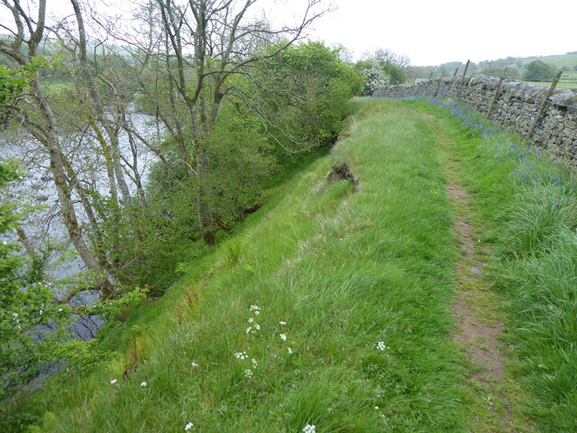
Intake Hill is a popular destination for hikers and nature enthusiasts, drawing visitors who enjoy its stunning natural beauty and the tranquility it offers. There are several walking trails that lead to the summit, catering to different abilities and preferences. These paths wind through the rolling hills, allowing visitors to appreciate the diverse flora and fauna that thrive in this unspoiled environment.
The hill also holds historical significance, with evidence of human activity dating back to the Bronze Age. Archaeological finds, such as ancient burial mounds and settlement remains, have been discovered in the vicinity, adding to the area's cultural heritage.
Overall, Intake Hill in Yorkshire is a captivating destination that combines breathtaking natural scenery, recreational opportunities, and a glimpse into the region's rich history.
If you have any feedback on the listing, please let us know in the comments section below.
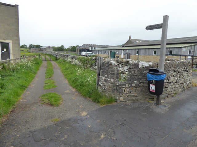
Intake Hill Images
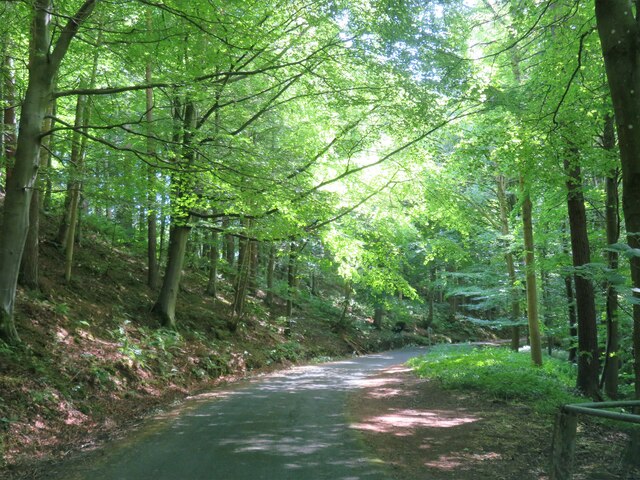
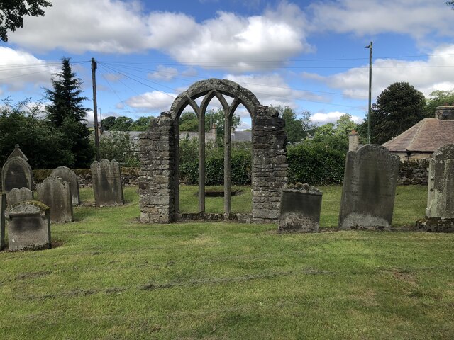
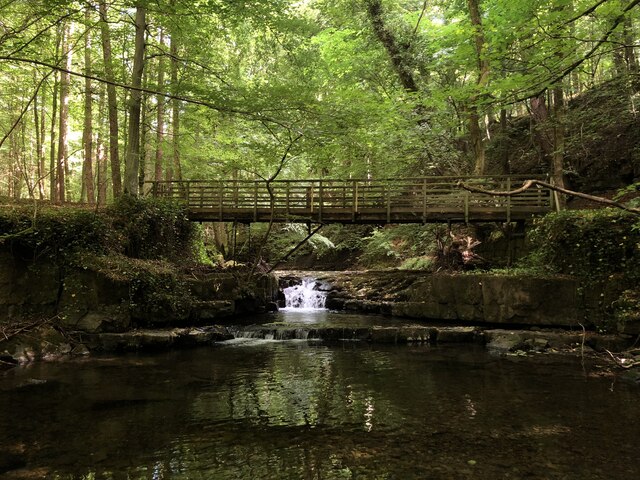
Images are sourced within 2km of 54.616944/-2.0856618 or Grid Reference NY9424. Thanks to Geograph Open Source API. All images are credited.


Intake Hill is located at Grid Ref: NY9424 (Lat: 54.616944, Lng: -2.0856618)
Division: North Riding
Unitary Authority: County Durham
Police Authority: Durham
What 3 Words
///standard.collision.melt. Near Mickleton, Co. Durham
Nearby Locations
Related Wikis

Middleton-in-Teesdale railway station
Middleton-in-Teesdale railway station was the terminus of the Tees Valley Railway from Barnard Castle. It served the town of Middleton-in-Teesdale. The...
Middleton Quarry
Middleton Quarry is a Site of Special Scientific Interest in the Teesdale district of west County Durham, England. It is a disused quarry, from which...

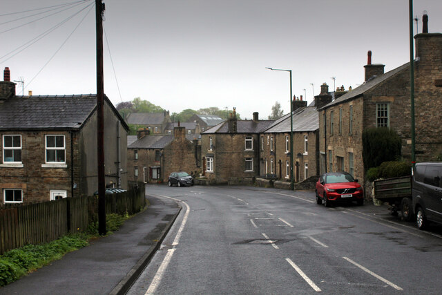
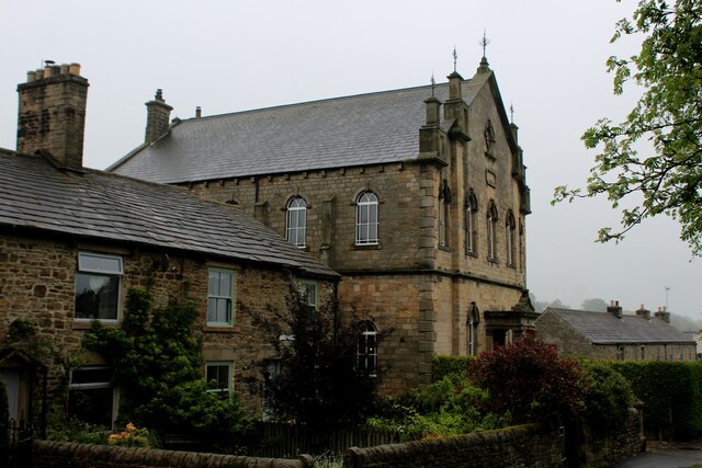
Middleton-in-Teesdale
Middleton-in-Teesdale is a market town and civil parish in County Durham, England. It is in Teesdale, on the River Tees's north banks, and surrounded by...
Laithkirk
Laithkirk is a small hamlet of three houses and a small church in County Durham, in England. All of the houses in Laithkirk are accessed by an unnamed...
Nearby Amenities
Located within 500m of 54.616944,-2.0856618Have you been to Intake Hill?
Leave your review of Intake Hill below (or comments, questions and feedback).