Lydiates Hill
Hill, Mountain in Staffordshire South Staffordshire
England
Lydiates Hill
Lydiates Hill is a prominent hill located in the county of Staffordshire, England. Standing at an impressive height of 289 meters (948 feet), it is considered one of the highest points in the area. The hill is situated near the village of Codsall, about 8 kilometers (5 miles) northwest of Wolverhampton.
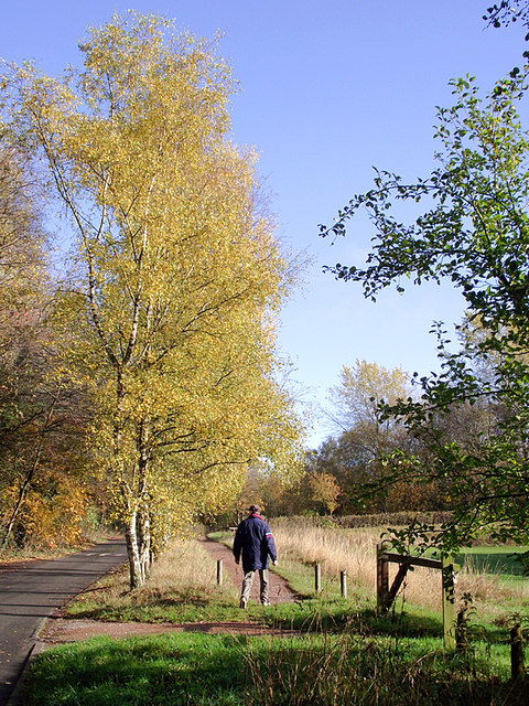
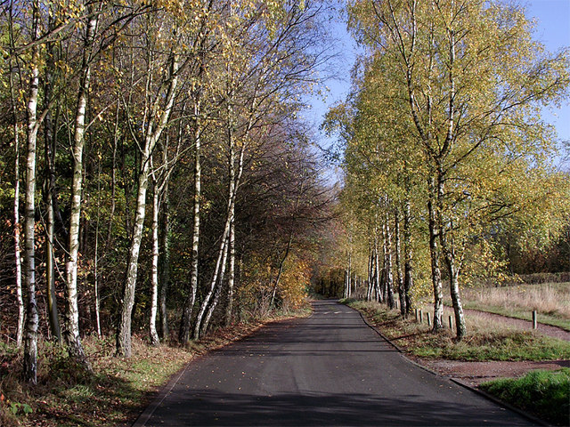
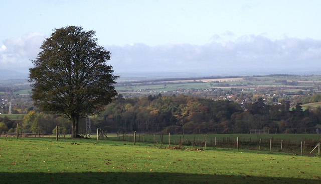
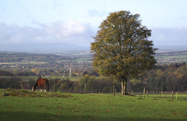
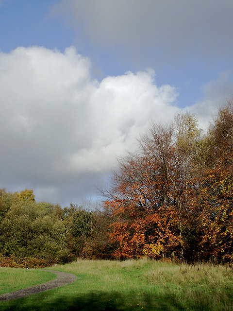
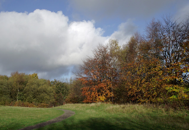
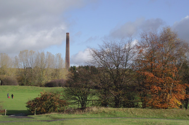
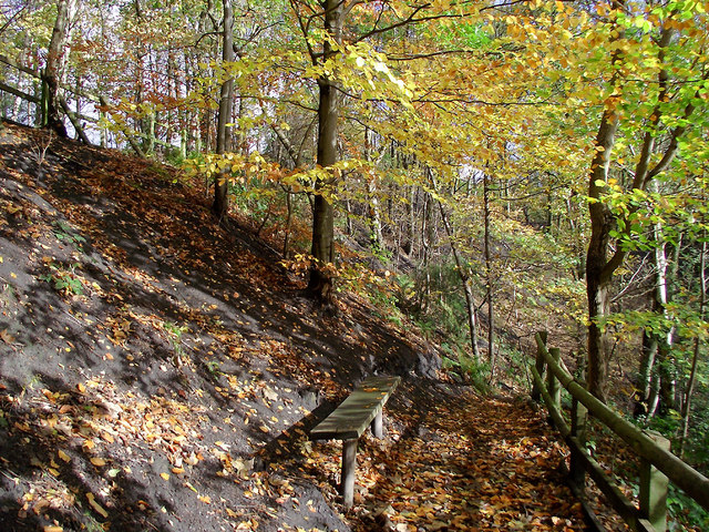
With its commanding position, Lydiates Hill offers breathtaking panoramic views of the surrounding countryside. On a clear day, visitors can admire the picturesque landscapes stretching as far as the eye can see, encompassing lush green fields, meandering rivers, and charming villages nestled in the distance.
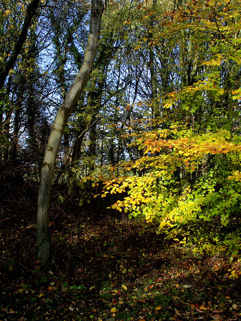
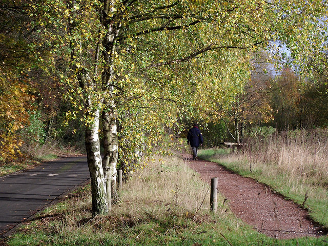
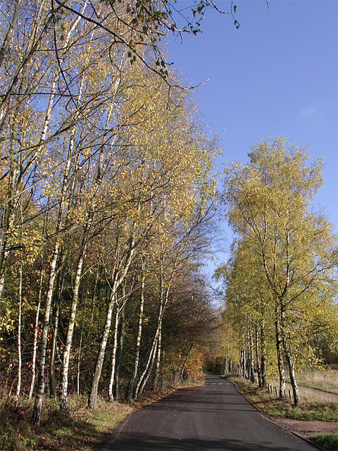
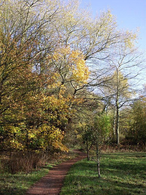
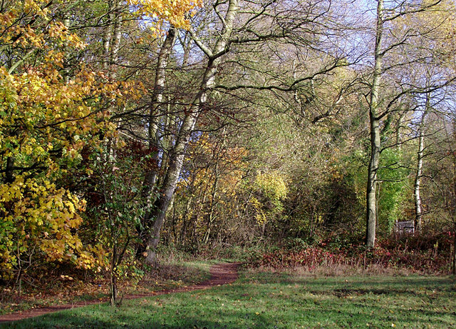
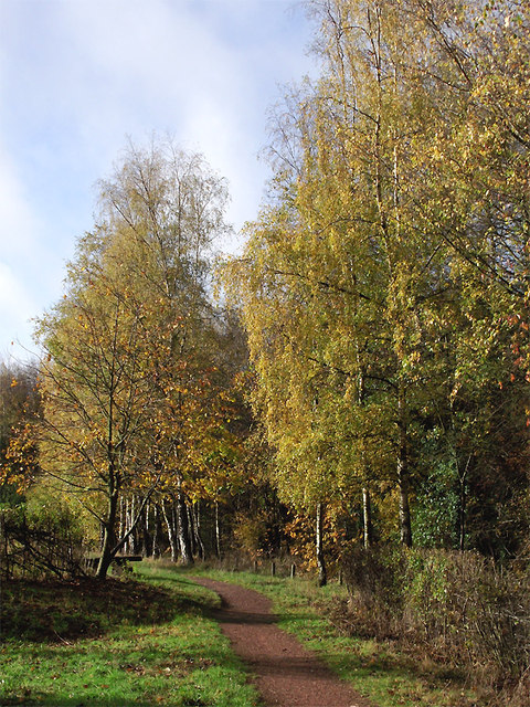
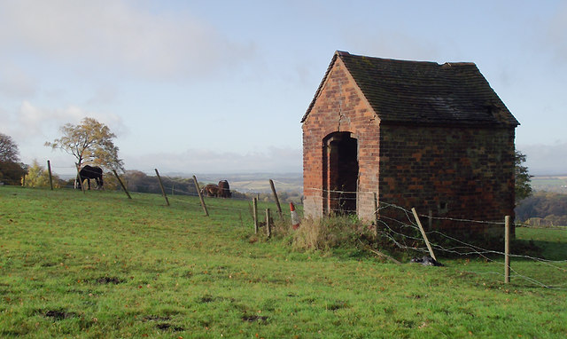
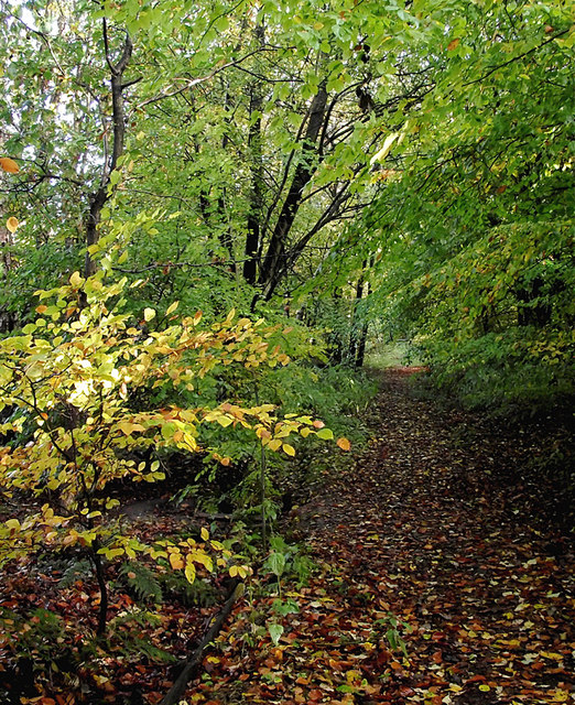
The hill is a popular destination for outdoor enthusiasts and nature lovers alike. Its vast expanse of open space provides ample opportunities for activities such as hiking, walking, and picnicking. There are several well-marked trails that wind their way up the hill, catering to both casual strollers and more seasoned hikers.
At the summit of Lydiates Hill, an ancient burial mound can be found, dating back to the Bronze Age. This archaeological site adds a historical dimension to the area, attracting those with an interest in the past.
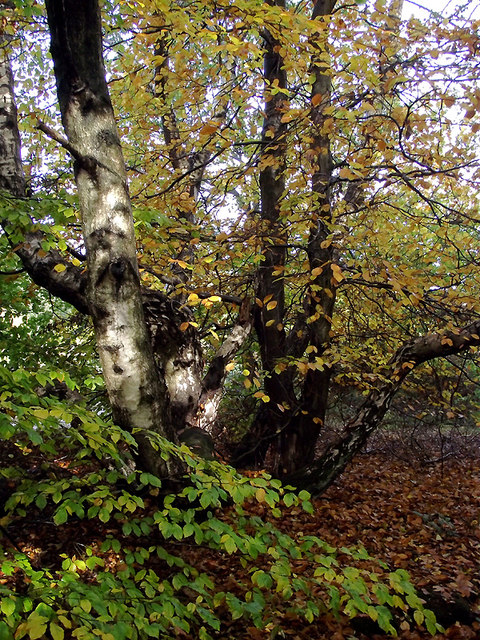
The hill is also home to a diverse array of flora and fauna. Many species of wildflowers can be spotted during the warmer months, adding a splash of color to the landscape. Birdwatchers will appreciate the varied birdlife that inhabits the area, including kestrels, buzzards, and skylarks.
In conclusion, Lydiates Hill in Staffordshire is a captivating natural landmark, offering visitors a chance to immerse themselves in the beauty of the English countryside while enjoying outdoor activities and exploring its rich history.
If you have any feedback on the listing, please let us know in the comments section below.
Lydiates Hill Images
Images are sourced within 2km of 52.532677/-2.1472852 or Grid Reference SO9092. Thanks to Geograph Open Source API. All images are credited.

Lydiates Hill is located at Grid Ref: SO9092 (Lat: 52.532677, Lng: -2.1472852)
Administrative County: Staffordshire
District: South Staffordshire
Police Authority: Staffordshire
What 3 Words
///skills.vast.remote. Near Wombourn, Staffordshire
Nearby Locations
Related Wikis

Baggeridge Colliery
Baggeridge Colliery was a colliery located in Sedgley, West Midlands England. == Colliery History == The Baggeridge Colliery was an enterprise of the Earls...

Baggeridge Country Park
Baggeridge Country Park is located within the South Staffordshire district of Staffordshire, England. Its entrance is on the A463 just west of Gospel End...
Straits Estate
Straits Estate is a housing estate located near Sedgley, West Midlands, England, to the north-west of Gornal Ward, and was built for homeowners during...

Gospel End
Gospel End is a village in the South Staffordshire district of Staffordshire, England. Population details taken at the 2011 census can be found under...

Cotwall End Valley
Cotwall End Valley is a local nature reserve in West Midlands, England. It is about a mile south of Sedgley, in the Metropolitan Borough of Dudley. It...
Ellowes Hall
Ellowes Hall was a stately home located in Sedgley, Staffordshire (now West Midlands). It was built in 1821 in parkland near Lower Gornal village as the...
Ellowes Hall Sports College
Ellowes Hall Sports College (formerly Ellowes Hall School) is a comprehensive secondary school and sixth form situated on Stickley Lane in Lower Gornal...
The Wodehouse
The Wodehouse is a Grade II* listed English country house near Wombourne, Staffordshire, notable as the family seat of the Georgian landscape designer...
Nearby Amenities
Located within 500m of 52.532677,-2.1472852Have you been to Lydiates Hill?
Leave your review of Lydiates Hill below (or comments, questions and feedback).