White Horse Hill
Hill, Mountain in Wiltshire
England
White Horse Hill

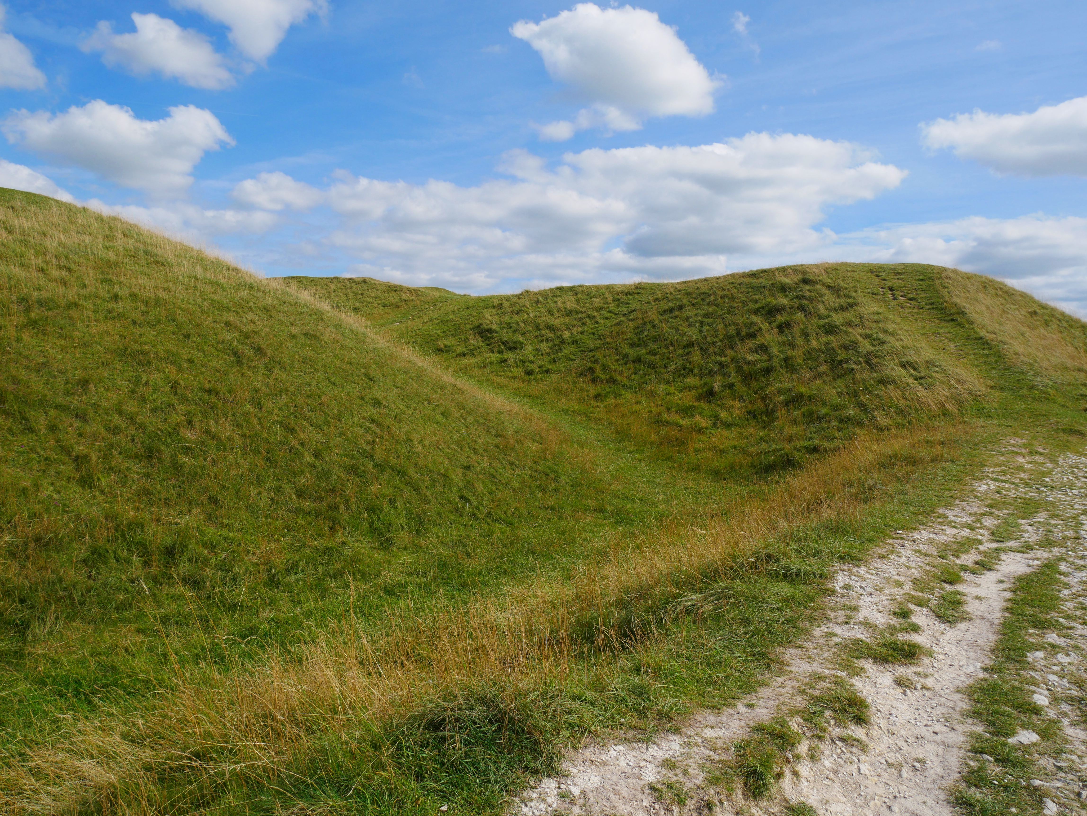
White Horse Hill is a prominent landmark located in the county of Wiltshire, England. Rising to an elevation of 261 meters (856 feet), it is considered one of the highest points in the region. The hill is situated within the North Wessex Downs Area of Outstanding Natural Beauty, attracting numerous visitors due to its scenic beauty and historical significance.
Atop White Horse Hill stands the distinctive Uffington White Horse, an ancient geoglyph carved into the chalky surface of the hill. The figure, measuring approximately 110 meters (360 feet) in length, depicts a stylized representation of a horse. Believed to date back to the Bronze Age, it is considered one of the oldest hill figures in Britain.
The surrounding landscape offers breathtaking panoramic views of the picturesque Vale of White Horse, with its rolling hills and charming villages. The area is rich in archaeological sites, including Iron Age hillforts and burial mounds, adding to its historical appeal.
White Horse Hill is also a popular destination for outdoor enthusiasts, providing ample opportunities for walking, hiking, and horse riding. The site is traversed by a network of well-marked footpaths, allowing visitors to explore the hill and its surroundings at their own pace.
As a designated Site of Special Scientific Interest, White Horse Hill is home to a diverse range of flora and fauna. The chalk grassland habitat supports a variety of plant species, including orchids and rare wildflowers. The hill also provides a habitat for various bird species, such as skylarks and kestrels, making it a haven for wildlife enthusiasts and birdwatchers.
In summary, White Horse Hill in Wiltshire offers a captivating blend of natural beauty, cultural heritage, and recreational opportunities, making it a must-visit destination for locals and tourists alike.
If you have any feedback on the listing, please let us know in the comments section below.
White Horse Hill Images
Images are sourced within 2km of 51.259289/-2.1430863 or Grid Reference ST9051. Thanks to Geograph Open Source API. All images are credited.


White Horse Hill is located at Grid Ref: ST9051 (Lat: 51.259289, Lng: -2.1430863)
Unitary Authority: Wiltshire
Police Authority: Wiltshire
What 3 Words
///happier.compiled.dockers. Near Bratton, Wiltshire
Nearby Locations
Related Wikis
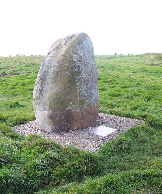
Bratton Castle
Bratton Castle (also known as Bratton Camp) is a bivallate (two ramparts) Iron Age built hill fort on Bratton Down, at the western edge of the Salisbury...
Battle of Edington
At the Battle of Edington, an army of the kingdom of Wessex under Alfred the Great defeated the Great Heathen Army led by the Dane Guthrum on a date between...

Westbury White Horse
Westbury or Bratton White Horse is a hill figure on the escarpment of Salisbury Plain, approximately 1.5 mi (2.4 km) east of Westbury in Wiltshire, England...
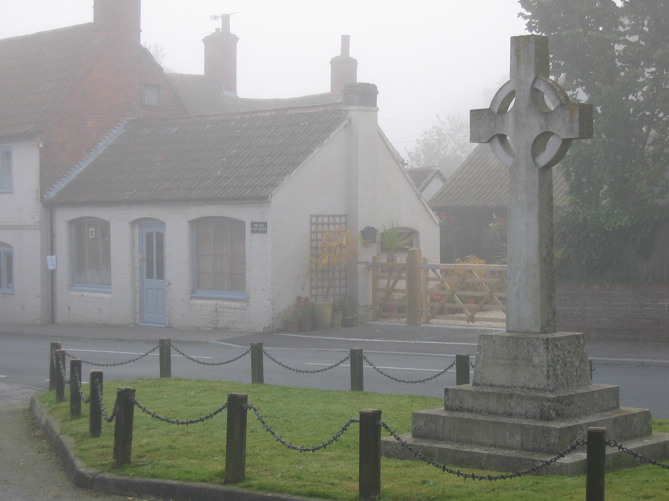
Bratton, Wiltshire
Bratton is a village and civil parish in the English county of Wiltshire, about 2.5 miles (4 km) east of Westbury. The village lies under the northern...
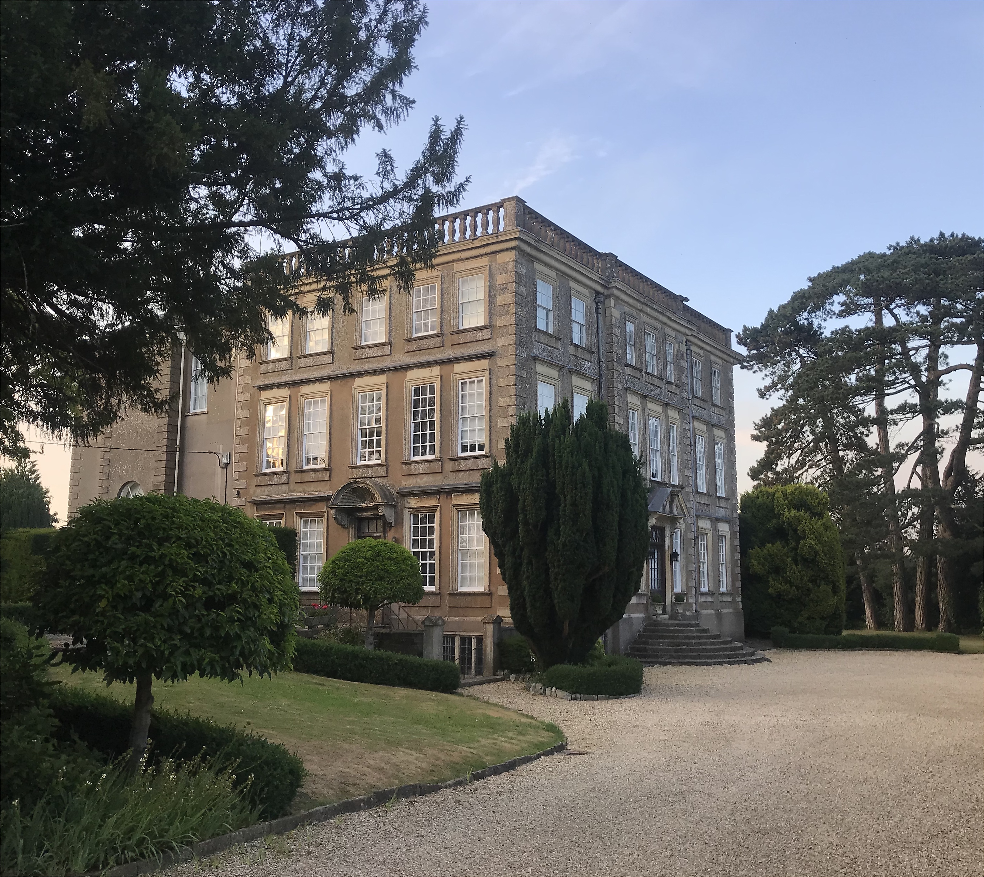
Bratton House
Bratton House is a grade II* listed country house in Melbourne Street, Bratton, Wiltshire, England. The house dates from 1715 and was built for Philip...

Bratton Downs
Bratton Downs (grid reference ST925522) is a 395.8 hectare biological and geological Site of Special Scientific Interest in Wiltshire, England, near the...
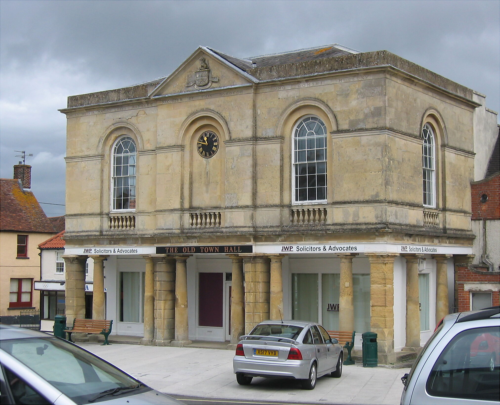
Old Town Hall, Westbury
The Old Town Hall is a municipal building in the Market Place in Westbury, Wiltshire, England. The structure, which was used as the local market hall and...
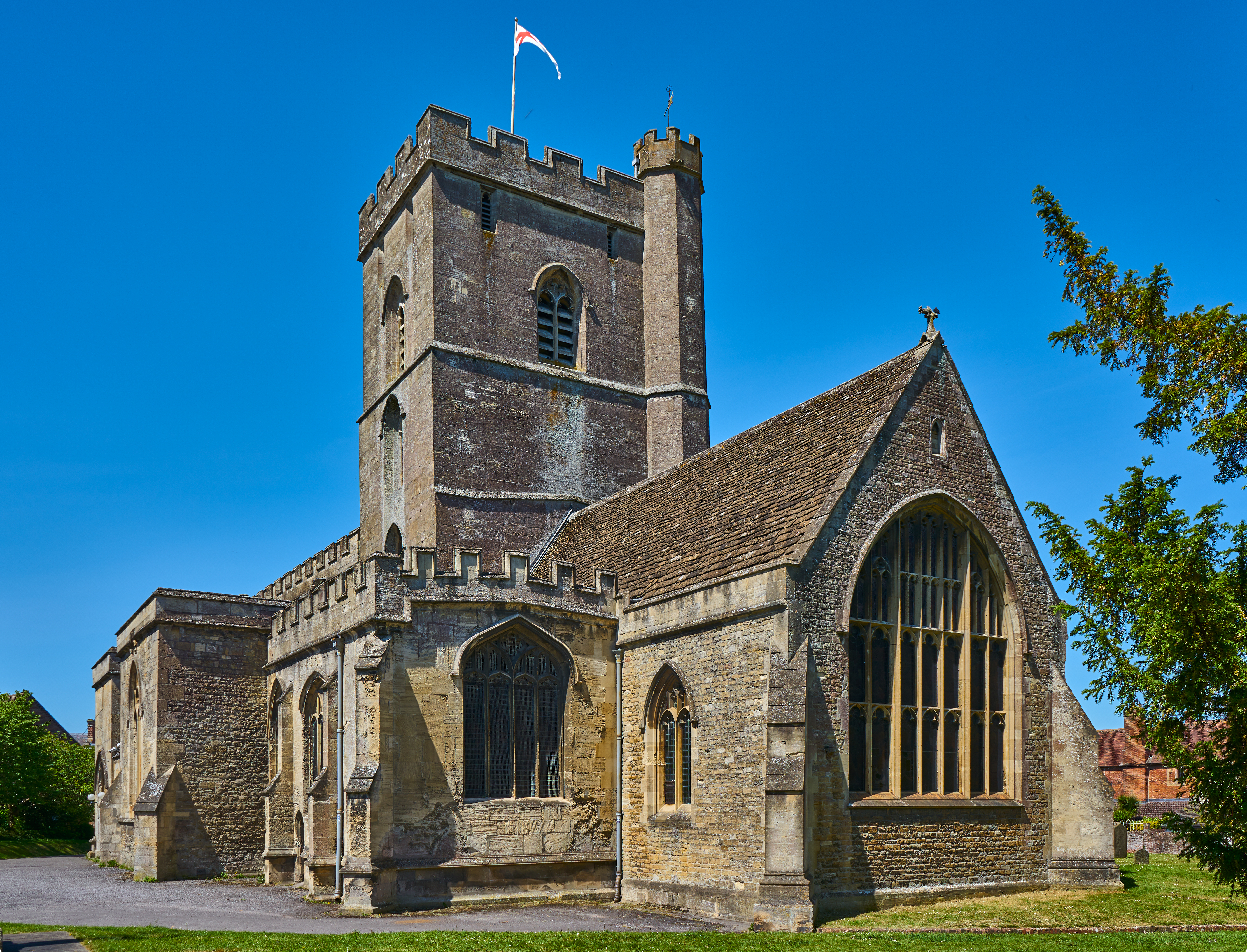
All Saints' Church, Westbury
The Church of All Saints is the main Church of England parish church in Westbury, Wiltshire, England. There has been a church on the site since Saxon times...
Nearby Amenities
Located within 500m of 51.259289,-2.1430863Have you been to White Horse Hill?
Leave your review of White Horse Hill below (or comments, questions and feedback).