Grey Hill
Hill, Mountain in Gloucestershire Tewkesbury
England
Grey Hill
Grey Hill is a prominent geographical feature located in the county of Gloucestershire, England. Situated approximately 7 miles southeast of the town of Stroud, it is a picturesque hill and mountain that forms part of the Cotswold Range, an area known for its outstanding natural beauty.
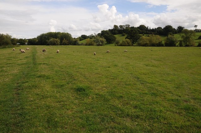
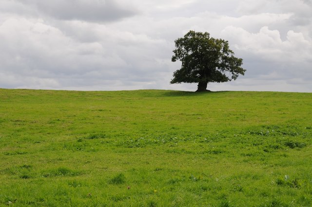
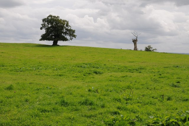
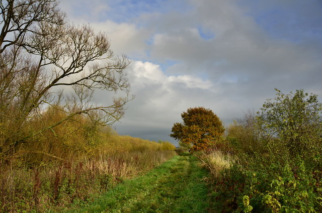
Rising to an elevation of around 1,050 feet (320 meters), Grey Hill offers breathtaking panoramic views of the surrounding countryside. Its slopes are covered with lush green vegetation, including heather, grasses, and scattered trees, creating a stunning landscape throughout the year. The hill's distinct gray color, which gives it its name, is a result of the limestone composition of the underlying rocks.
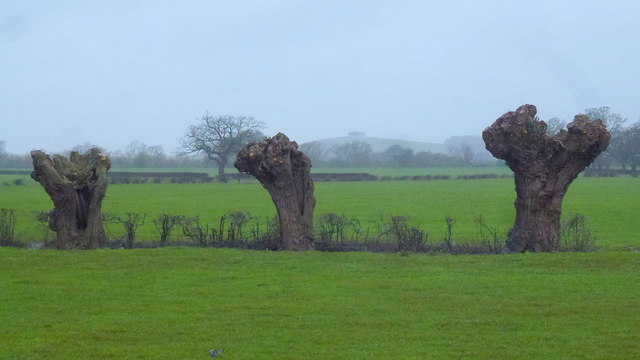
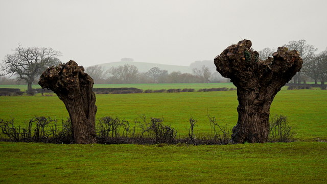
Grey Hill is a popular destination for outdoor enthusiasts, attracting hikers, nature lovers, and photographers alike. Numerous footpaths and trails crisscross the hill, allowing visitors to explore its diverse flora and fauna. The area is home to a variety of wildlife, including birds, small mammals, and reptiles, providing ample opportunities for wildlife spotting.
Aside from its natural beauty, Grey Hill also holds historical significance. The area has been inhabited for thousands of years, with evidence of prehistoric settlements and ancient burial mounds found in the vicinity. These historical remnants add an extra layer of intrigue to the hill, making it a fascinating destination for those interested in archaeology and history.
In conclusion, Grey Hill is a captivating hill and mountain nestled in the Gloucestershire countryside. With its stunning views, diverse ecosystems, and rich historical heritage, it offers a memorable experience for anyone venturing to this part of England.
If you have any feedback on the listing, please let us know in the comments section below.
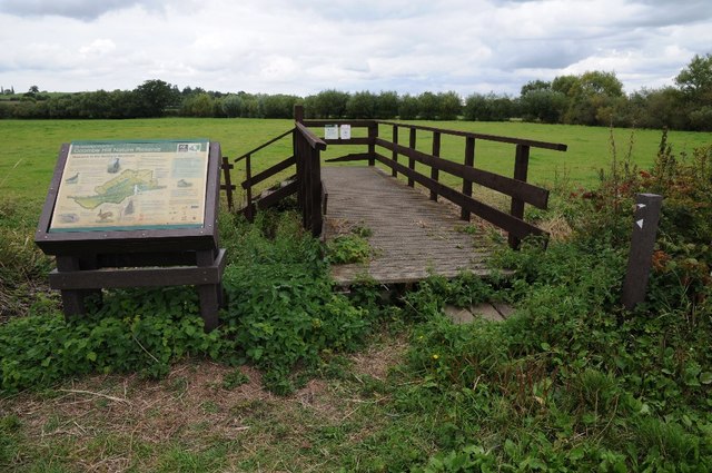
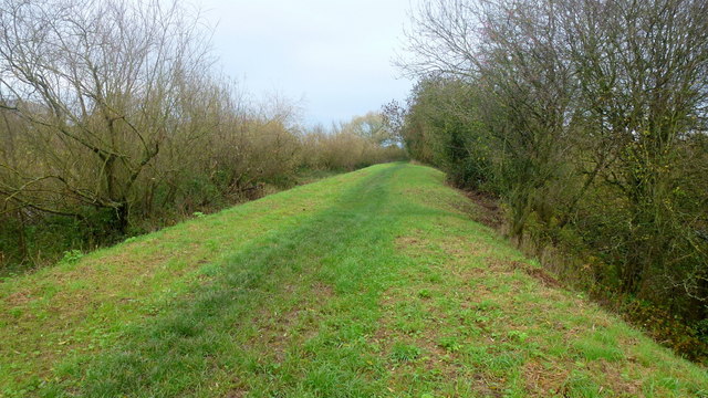
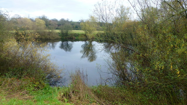
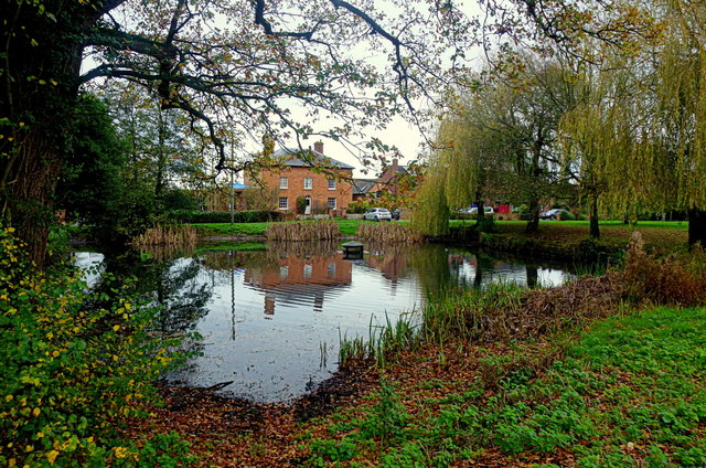
Grey Hill Images
Images are sourced within 2km of 51.943092/-2.2165392 or Grid Reference SO8527. Thanks to Geograph Open Source API. All images are credited.


Grey Hill is located at Grid Ref: SO8527 (Lat: 51.943092, Lng: -2.2165392)
Administrative County: Gloucestershire
District: Tewkesbury
Police Authority: Gloucestershire
What 3 Words
///topping.encodes.equity. Near Corse, Gloucestershire
Nearby Locations
Related Wikis

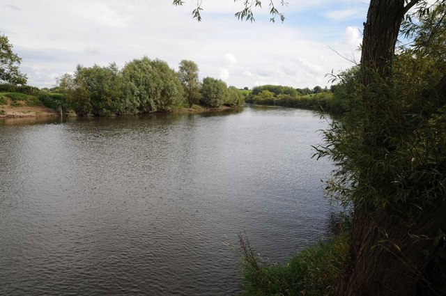
River Chelt
The River Chelt is a tributary of England's largest river, the Severn. The Chelt flows through the western edge of the Cotswolds and the town of Cheltenham...

Apperley
Apperley is a village in Gloucestershire, England, about 3 miles (5 km) southwest of Tewkesbury, 1 mile (1.6 km) south of Deerhurst and 1⁄3 mile (0.5 km...

Wainlode Cliff
Wainlode Cliff (grid reference SO845257) is a 1.3 hectare geological Site of Special Scientific Interest in Gloucestershire, notified in 1954. It overlooks...

Tirley
Tirley is a village and civil parish in Gloucestershire, England. It is located in the Borough of Tewkesbury district, 4 mi (6 km) south-west of Tewkesbury...
Ashleworth Ham
Ashleworth Ham (grid reference SO833263) is a 104.73-hectare (258.8-acre) biological Site of Special Scientific Interest. It is a large area of grassland...

Leigh, Gloucestershire
Leigh is a village and civil parish in the district of Tewkesbury, in the county of Gloucestershire, England. As of 2019, it has a population of 325....

Hasfield
Hasfield is a civil parish in Gloucestershire, England, and lies six miles (9.7 km) south-west of Tewkesbury and seven miles (11 km) north of Gloucester...

Deerhurst
Deerhurst is a village and civil parish in Gloucestershire, England, about 2 miles (3 km) southwest of Tewkesbury. The village is on the east bank of the...
Nearby Amenities
Located within 500m of 51.943092,-2.2165392Have you been to Grey Hill?
Leave your review of Grey Hill below (or comments, questions and feedback).