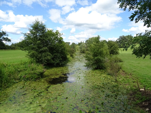
Handkerchief Pool

Lake, Pool, Pond, Freshwater Marsh in Gloucestershire Tewkesbury

England

Handkerchief Pool

Tirley Village Hall
Tirley Village Hall Credit: JThomas

Handkerchief Pool is a picturesque body of water located in Gloucestershire, England. Nestled amidst the idyllic countryside, this natural feature offers visitors a tranquil and serene environment.

Covering an area of approximately 2 acres, Handkerchief Pool is classified as a lake, pool, pond, and freshwater marsh. Its diverse ecosystem supports a wide variety of flora and fauna, making it an attractive destination for nature enthusiasts. The pool is surrounded by lush vegetation, including reeds, water lilies, and various species of grasses, providing a thriving habitat for numerous waterfowl and aquatic creatures.

The water in Handkerchief Pool is crystal clear and refreshing, making it ideal for swimming and other water-based activities. The pool's depth varies, with some areas being shallower and suitable for wading, while others are deep enough for diving. The pool is also home to several species of fish, making it a popular spot for fishing enthusiasts.

Visitors to Handkerchief Pool can enjoy a range of recreational activities. The area surrounding the pool is well-maintained and offers picnic spots, walking trails, and birdwatching opportunities. The peaceful ambiance of the pool attracts not only locals but also tourists looking for a serene getaway.

Handkerchief Pool is easily accessible, with ample parking facilities available nearby. It is a popular destination for families, nature lovers, and individuals seeking a peaceful retreat in the heart of Gloucestershire's countryside. Its natural beauty and diverse ecosystem make Handkerchief Pool a must-visit location for anyone seeking to connect with nature and enjoy the tranquility of the outdoors.

If you have any feedback on the listing, please let us know in the comments section below.

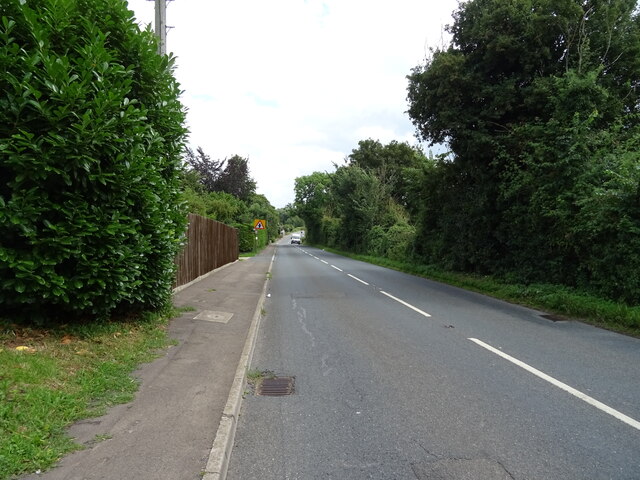
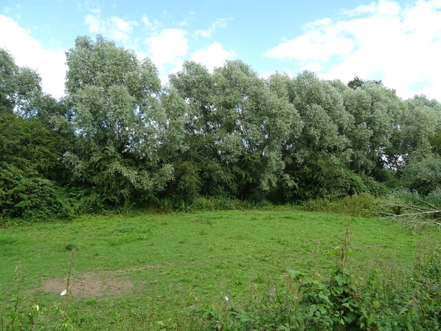
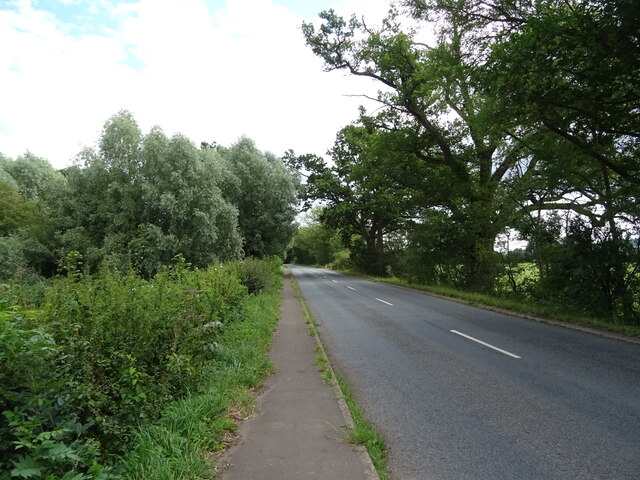
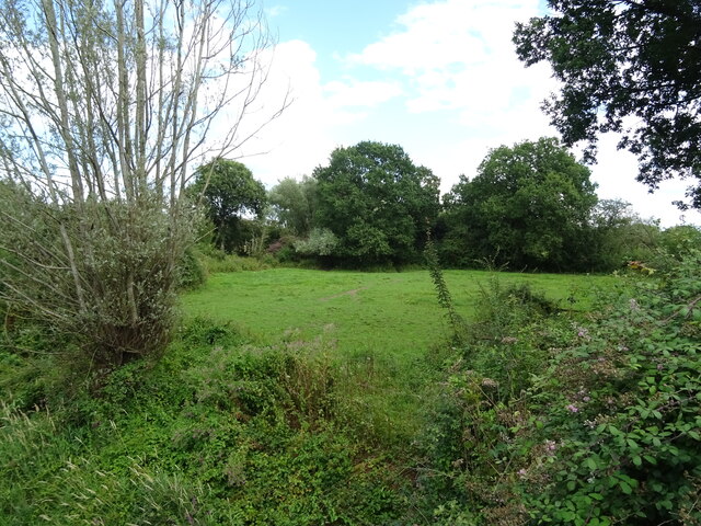
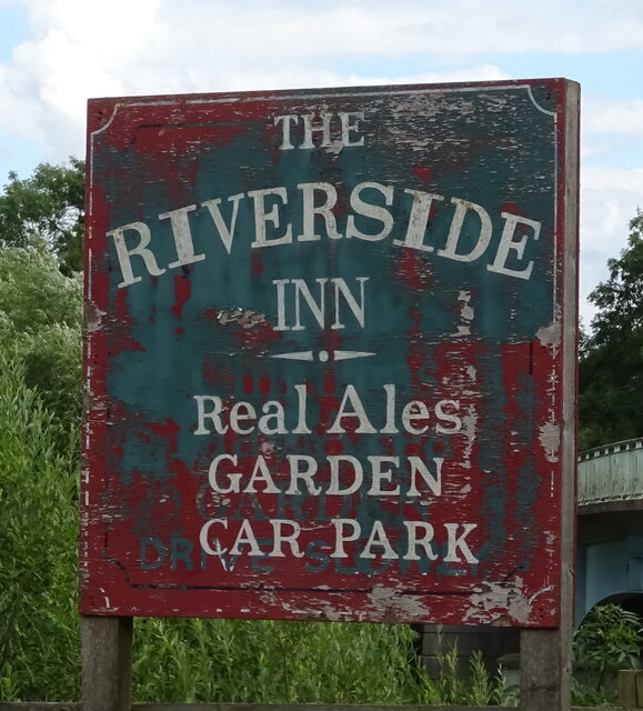
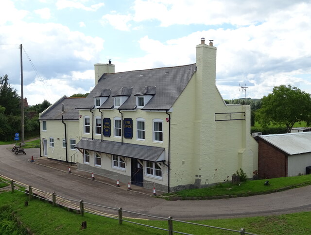
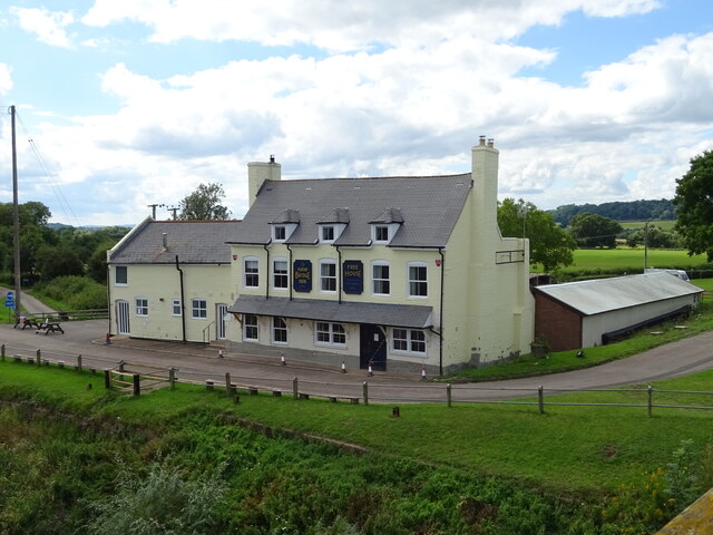
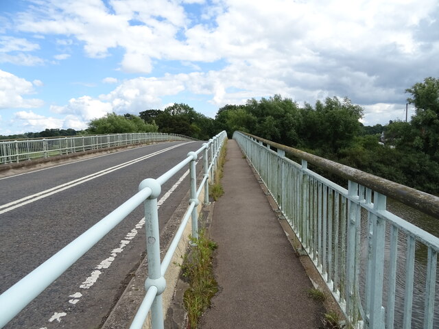
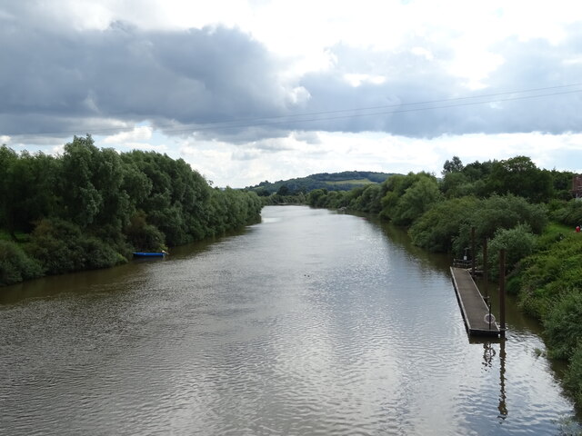
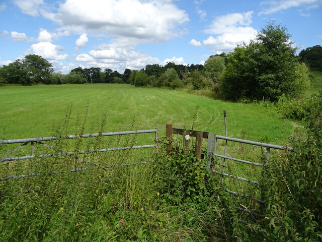
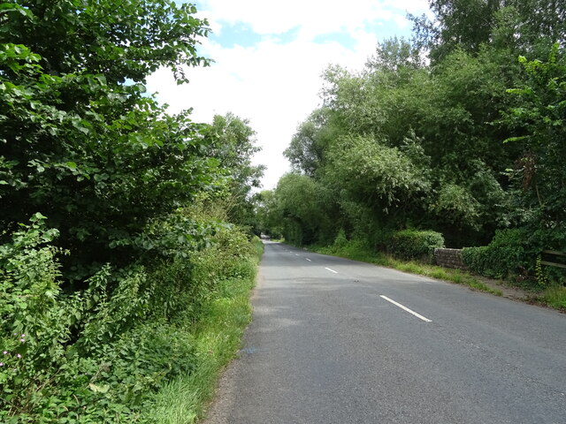
Handkerchief Pool Images

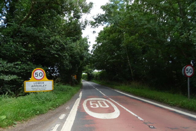
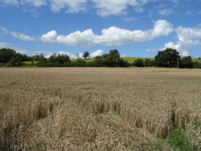
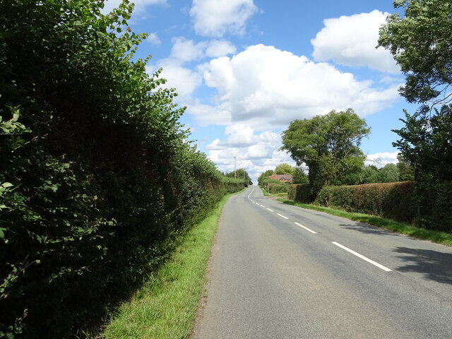
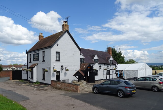
Images are sourced within 2km of 51.947579/-2.2157752 or Grid Reference SO8527. Thanks to Geograph Open Source API. All images are credited.

Tirley Village Hall
Tirley Village Hall
Tirley, B4213 Towards Lower Apperley.
Tirley, B4213
Towards Lower Apperley.
Grazing and trees near Tirley
B4213 towards Lower Apperley
Grazing towards drain near the River Severn
Old side for the Riverside Inn  The pub has now closed - see <a href="https://www.geograph.org.uk/photo/4976588">SO8427 : The Riverside Inn</a> for happier times.
Old side for the Riverside Inn
The pub has now closed - see SO8427 : The Riverside Inn for happier times.
The Haw Bridge Inn  From Haw Bridge.
The Haw Bridge Inn
From Haw Bridge.
The Haw Bridge Inn  From Haw Bridge.
The Haw Bridge Inn
From Haw Bridge.
On Haw Bridge Crossing the River Severn on the B4213.
On Haw Bridge
Crossing the River Severn on the B4213.
The River Severn View downstream from Haw Bridge.
The River Severn
View downstream from Haw Bridge.
Bridleway off the B4213
B4213 towards Lower Apperley
Handkerchief Pool A narrow pool on the flood plain.
Handkerchief Pool
A narrow pool on the flood plain.
Entering Lower Apperley On the B4213.
Entering Lower Apperley
On the B4213.
Cereal crop, Lower Apperley
B4213, Lower Apperley Towards the A38.
B4213, Lower Apperley
Towards the A38.
The Farmers Arms, Apperley  On the B4213.
The Farmers Arms, Apperley
On the B4213.
Sign for the Farmers Arms, Apperley
Show me another place!

Handkerchief Pool is located at Grid Ref: SO8527 (Lat: 51.947579, Lng: -2.2157752)

Administrative County: Gloucestershire

District: Tewkesbury

Police Authority: Gloucestershire

What 3 Words

///take.nutty.clocking. Near Tewkesbury, Gloucestershire

Related Wikis

Apperley

Apperley is a village in Gloucestershire, England, about 3 miles (5 km) southwest of Tewkesbury, 1 mile (1.6 km) south of Deerhurst and 1⁄3 mile (0.5 km...

River Chelt

The River Chelt is a tributary of England's largest river, the Severn. The Chelt flows through the western edge of the Cotswolds and the town of Cheltenham...

Tirley

Tirley is a village and civil parish in Gloucestershire, England. It is located in the Borough of Tewkesbury district, 4 mi (6 km) south-west of Tewkesbury...

Wainlode Cliff

Wainlode Cliff (grid reference SO845257) is a 1.3 hectare geological Site of Special Scientific Interest in Gloucestershire, notified in 1954. It overlooks...

Nearby Amenities

Located within 500m of 51.947579,-2.2157752
Barrier: cattle_grid
Lat/Long: 51.9457548/-2.2154031
Post Box
Post Box Type: lamp
Royal Cypher: EIIR
Lat/Long: 51.9452594/-2.2101517
Grey Hill
Created By: Potlatch 0.10f
Natural: peak
Source: NPE
Lat/Long: 51.943659/-2.2150772
Apperley Court
Created By: Potlatch 0.10f
Historic: manor
Lat/Long: 51.9481032/-2.2102707
Bus Stop
School Road Junction
Bus: yes
Naptan AtcoCode: 1600GL9065
Naptan Bearing: NE
Naptan CommonName: School Road Junction
Naptan Indicator: after
Naptan NaptanCode: glodgpgt
Naptan Street: School Road
Naptan Verified: no
Public Transport: platform
Source: naptan_import
Lat/Long: 51.945317/-2.2100429
Bus Stop
School Road Junction
Bus: yes
Naptan AtcoCode: 1600GL9066
Naptan Bearing: SW
Naptan CommonName: School Road Junction
Naptan Indicator: before
Naptan NaptanCode: glodgpjp
Naptan Street: School Road
Naptan Verified: no
Public Transport: platform
Source: naptan_import
Lat/Long: 51.9453641/-2.2098227
Bus Stop
Wainlode Lane
Bus: yes
Naptan AtcoCode: 1600GLT129
Naptan Bearing: E
Naptan CommonName: Wainlode Lane
Naptan Indicator: opp
Naptan NaptanCode: glodgjmp
Naptan Street: B4213
Naptan Verified: no
Public Transport: platform
Source: naptan_import
Lat/Long: 51.945808/-2.2148996
Bus Stop
Wainlode Lane
Bus: yes
Naptan AtcoCode: 1600GLT130
Naptan Bearing: W
Naptan CommonName: Wainlode Lane
Naptan Indicator: by
Naptan NaptanCode: glodgjpj
Naptan Street: B4213
Naptan Verified: no
Public Transport: platform
Source: naptan_import
Lat/Long: 51.9456514/-2.2147798
Apperley Court
Power: pole
Transformer: distribution
Voltage Primary: 11000
Lat/Long: 51.9472901/-2.2096279
Power: pole
Lat/Long: 51.9473855/-2.2087488
The data included in this document is from www.openstreetmap.org. The data is made available under ODbL.

Have you been to Handkerchief Pool?

Leave your review of Handkerchief Pool below (or comments, questions and feedback).