Fish Lake

Lake, Pool, Pond, Freshwater Marsh in Yorkshire

England

Fish Lake

Lune Head Stone Circle
Lune Head Stone Circle Credit: Anthony Parkes

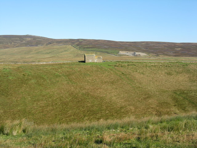
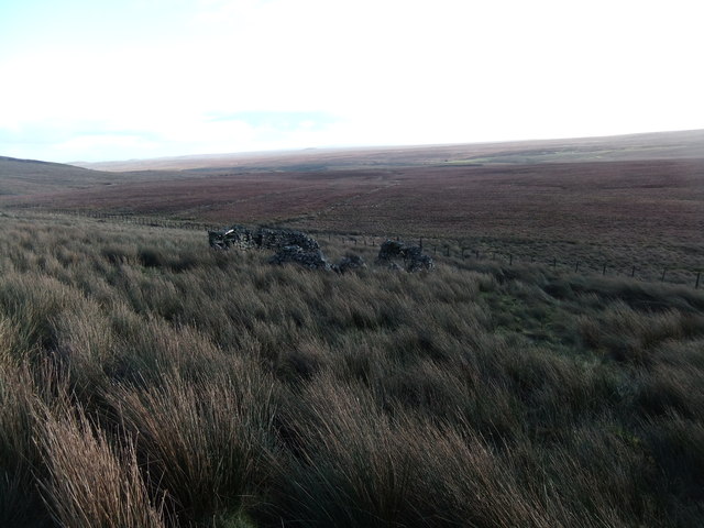
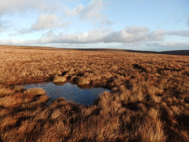
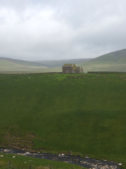
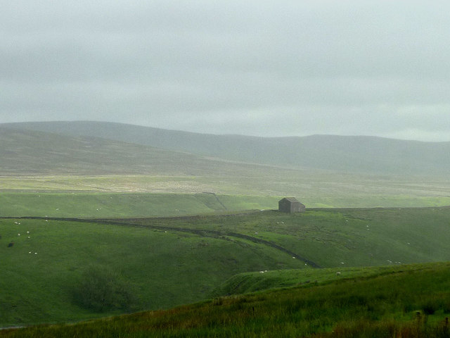
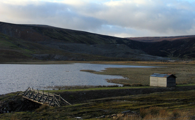
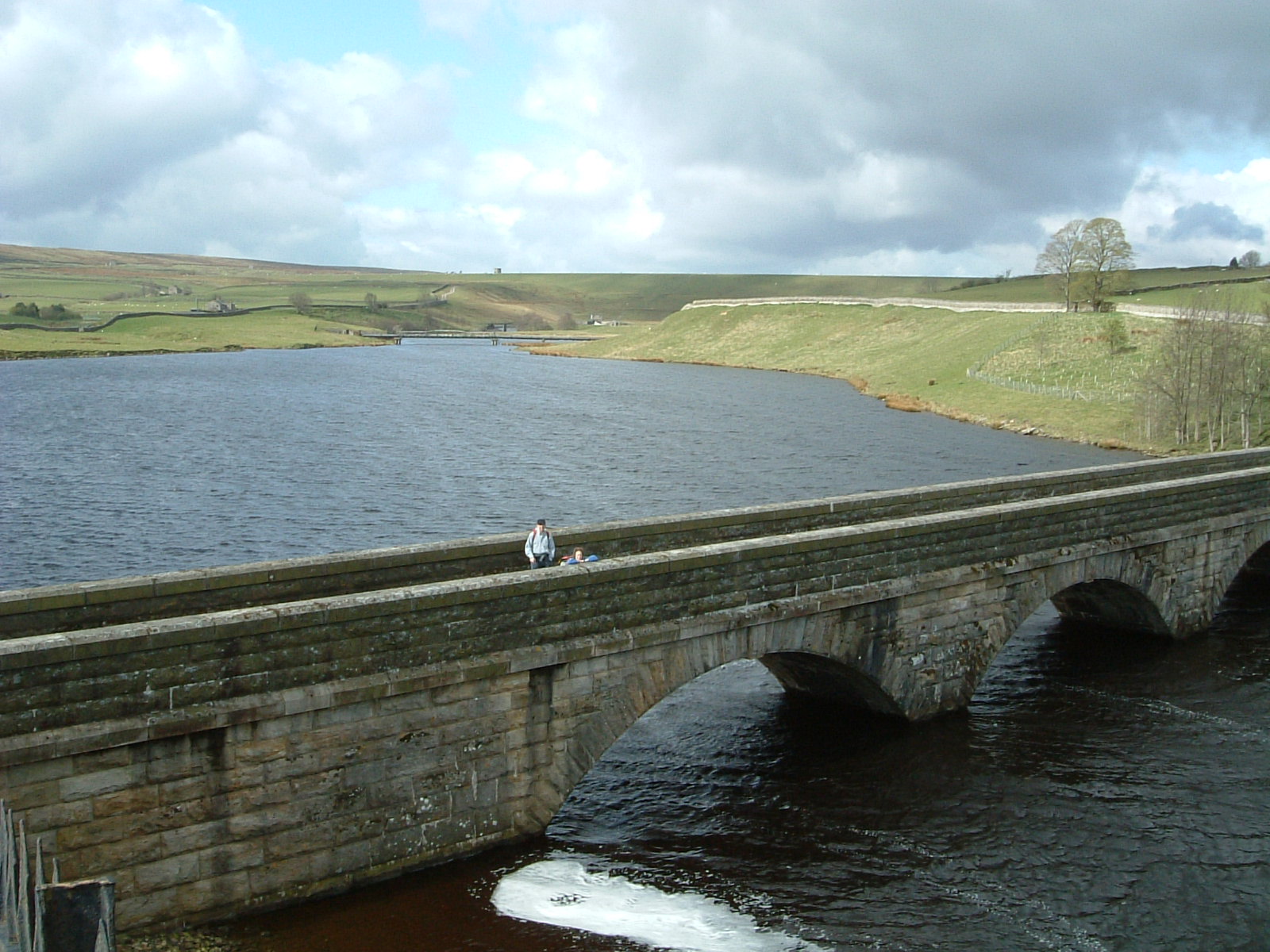
Fish Lake is a picturesque freshwater marsh located in Yorkshire, England. Spanning over an area of approximately 50 acres, it is often referred to as a lake, pool, pond, or marsh due to its diverse characteristics. The lake is surrounded by lush greenery and is known for its serene and tranquil ambiance.

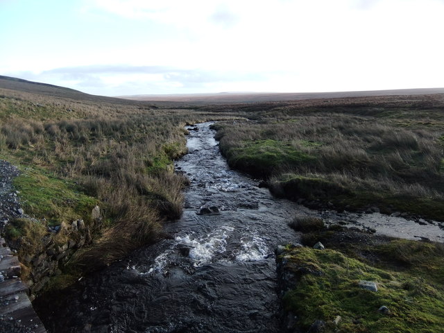
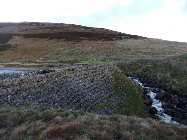
The water in Fish Lake is primarily sourced from rainwater and natural springs, resulting in crystal-clear, freshwater conditions. The lake is relatively shallow, with an average depth of around 6 feet, making it an ideal habitat for various aquatic species. It supports a rich and diverse ecosystem, hosting a wide range of fish, including pike, perch, tench, and roach, among others. These fish species attract fishermen from near and far, making it a popular spot for angling enthusiasts.

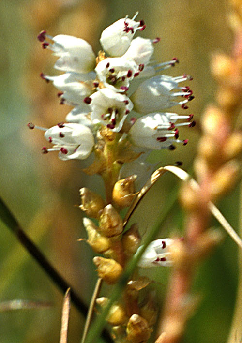
Aside from its fishing opportunities, Fish Lake is also a haven for birdwatchers. The surrounding marshland provides a perfect habitat for numerous bird species, including herons, swans, ducks, and geese. Birdwatchers can often spot these fascinating creatures in their natural habitat, adding to the lake's charm and appeal.

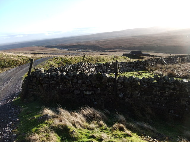
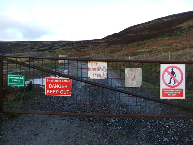
The area surrounding Fish Lake offers several amenities for visitors, including picnic areas, walking trails, and observation points. This allows visitors to fully immerse themselves in the beauty of the lake and its surroundings. Furthermore, the lake is easily accessible, with ample parking facilities nearby.

In conclusion, Fish Lake in Yorkshire is a stunning freshwater marsh renowned for its diverse fish population and abundant birdlife. Its tranquil atmosphere and natural beauty make it a popular destination for both anglers and nature enthusiasts alike.

If you have any feedback on the listing, please let us know in the comments section below.
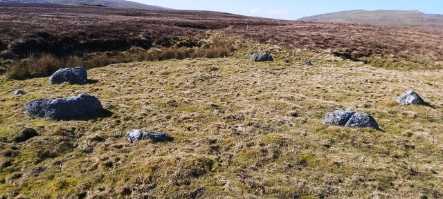
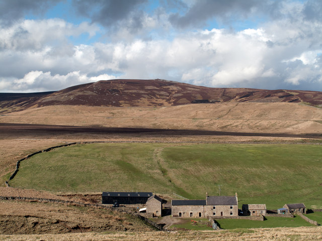
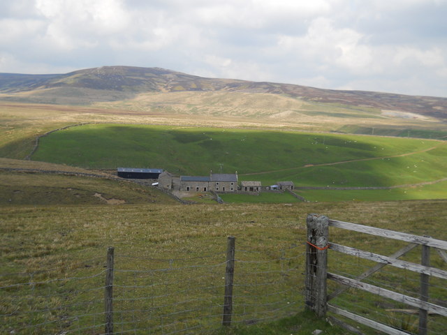
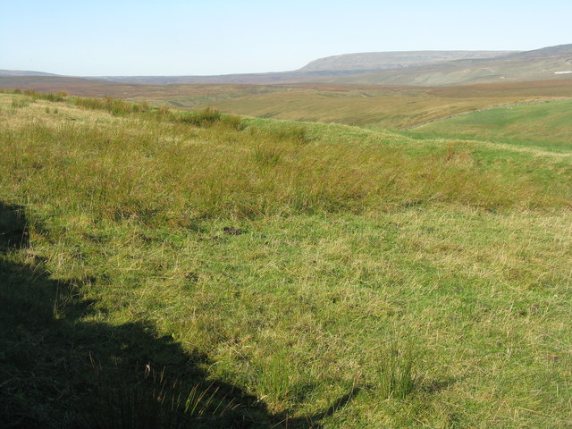
Fish Lake Images

Images are sourced within 2km of 54.596465/-2.2292635 or Grid Reference NY8522. Thanks to Geograph Open Source API. All images are credited.

Lune Head Stone Circle
Lune Head Farm Lune Head is an isolated farm beside Lune Head Beck; it's seen here from the B6276 which lies above to the south. The heather clad hill is known as Standards.
Lune Head Farm
Lune Head is an isolated farm beside Lune Head Beck; it's seen here from the B6276 which lies above to the south. The heather clad hill is known as Standards.
Lune Head Farm
Lune Head Farm
Looking across Lune Head The head of The River Lune, which is in the deep valley below. In the distance are possibly Little, Burton and Warcop Fells, part of the Lune Forest.
Looking across Lune Head
The head of The River Lune, which is in the deep valley below. In the distance are possibly Little, Burton and Warcop Fells, part of the Lune Forest.
Pasture at Lune Head Looking northwest from the B6276 of the River Lune to the Lune Forest.
Pasture at Lune Head
Looking northwest from the B6276 of the River Lune to the Lune Forest.
Barn on Cross Hill Looking across the deep valley of the young River Lune towards Forest Side in the Lune Forest.
Barn on Cross Hill
Looking across the deep valley of the young River Lune towards Forest Side in the Lune Forest.
Old Quarry
Old Quarry
Arngill Beck
Arngill Beck
Long Grain
Long Grain
Sheepfold
Sheepfold
Track by Close House
Wet moorland north of Close House
Fish Lake dam
Fish Lake dam
Pennine welcome
Pennine welcome
Barn above Lune Head Beck The vast moorland sprawl of Mickle Fell beyond.
Barn above Lune Head Beck
The vast moorland sprawl of Mickle Fell beyond.
Rough grazing land at Lune Head The B6276 Brough to Middleton road traverse some very wild moorland best appreciated on a clear day. Sheep graze the rough grassland above Lune Head Beck.
Rough grazing land at Lune Head
The B6276 Brough to Middleton road traverse some very wild moorland best appreciated on a clear day. Sheep graze the rough grassland above Lune Head Beck.
Peat banks near Staple Moss Staple Moss is a location south-east of Long Crag, itself an extension of the east ridge of Mickle Fell: remote country!
The distant moorland dome is Bink Moss.
Peat banks near Staple Moss
Staple Moss is a location south-east of Long Crag, itself an extension of the east ridge of Mickle Fell: remote country! The distant moorland dome is Bink Moss.
Fish Lake Fish Lake is part of the site of the now disused Close House Mine spoil heaps of which can be seen shadowed in the middle distance. The mine was worked for barytes until fairly recent times.
Fish Lake
Fish Lake is part of the site of the now disused Close House Mine spoil heaps of which can be seen shadowed in the middle distance. The mine was worked for barytes until fairly recent times.
Show me another place!

Fish Lake is located at Grid Ref: NY8522 (Lat: 54.596465, Lng: -2.2292635)

Division: North Riding

Unitary Authority: County Durham

Police Authority: Durham

What 3 Words

///lyricist.built.spins. Near Holwick, Co. Durham

Nearby Locations

Fish Lake Standards

Related Wikis

Close House Mine

Close House Mine is a Site of Special Scientific Interest in the Teesdale district of west County Durham, England. It is a working opencast mine located...

Lunedale

Lunedale is the dale, or valley, of the River Lune, on the east side of the Pennines in England, west of Middleton-in-Teesdale. Its principal settlements...

Lune Forest

Lune Forest is a Site of Special Scientific Interest covering an extensive area of moorland in the Teesdale district of west Durham, England. In the north...

Foster's Hush

Foster's Hush is a Site of Special Scientific Interest in the Teesdale district of west County Durham, England. It is located in the valley of Lune Head...

Grains o' th' Beck Meadows

Grains o' th' Beck Meadows is a Site of Special Scientific Interest in the Teesdale district of south-west County Durham, England. It consists of three...

Mickle Fell

Mickle Fell is a mountain in the Pennines, the range of hills and moors running down the middle of Northern England. It has a maximum elevation of 788...

Selset Reservoir

Selset Reservoir is a reservoir in County Durham, England. It is situated in Lunedale which is a side valley of the River Tees, about 5 miles (8 km) west...

Moor House-Upper Teesdale

Moor House-Upper Teesdale National Nature Reserve covers 7,400 ha of the Pennine moors in the north of England. It straddles Cumbria and County Durham...

Nearby Amenities

Located within 500m of 54.596465,-2.2292635
Barrier: cattle_grid
Lat/Long: 54.5940828/-2.2336538
Closehouse Mine
Historic: mine
Mineral: barytes
Note: Site of Special Scientific Interest
Ref: UK04
Source: NLS-OS-NatGrid-110k-1940-60
Source Mineral: NLS-OS-NatGrid-110k-1940-60
Wikidata: Q5135213
Wikipedia: en:Close House Mine
Lat/Long: 54.6000144/-2.2332169
Historic: mine_shaft
Mineral: lead
Source: OS 1:25k
Source Mineral: NLS-OS-NatGrid-110k-1940-60
Lat/Long: 54.5981713/-2.2357933
Natural: shake_hole
Source: NLS-OS-NatGrid-110k-1940-60
Lat/Long: 54.5976026/-2.2346004
Natural: shake_hole
Source: NLS-OS-NatGrid-110k-1940-60
Lat/Long: 54.5973919/-2.234536
Natural: shake_hole
Source: NLS-OS-NatGrid-110k-1940-60
Lat/Long: 54.5977393/-2.2344931
Disused: yes
Man Made: adit
Resource: lead
Source Mineral: NLS-OS-NatGrid-110k-1940-60
Lat/Long: 54.5999619/-2.2286459
Natural: shake_hole
Source: NLS-OS-NatGrid-110k-1940-60
Lat/Long: 54.5952034/-2.2338923
Natural: shake_hole
Source: NLS-OS-NatGrid-110k-1940-60
Lat/Long: 54.5951045/-2.2341283
The data included in this document is from www.openstreetmap.org. The data is made available under ODbL.

Have you been to Fish Lake?

Leave your review of Fish Lake below (or comments, questions and feedback).