Standards

Hill, Mountain in Yorkshire

England

Standards

Lune Head Farm Lune Head is an isolated farm beside Lune Head Beck; it's seen here from the B6276 which lies above to the south. The heather clad hill is known as Standards.
Lune Head Farm Credit: Trevor Littlewood

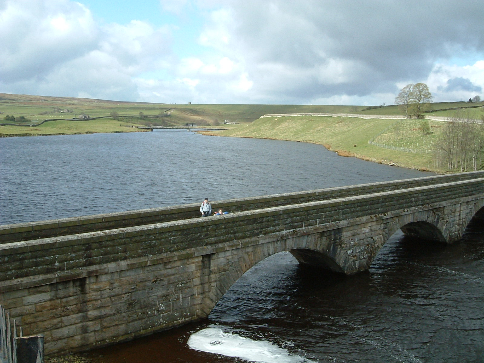
Standards, Yorkshire is a prominent hill located in the northern part of England, specifically in the county of North Yorkshire. It is part of the North York Moors National Park and stands at an elevation of 454 meters (1,490 feet) above sea level. The hill is situated near the village of Castleton and lies approximately 8 kilometers (5 miles) east of the town of Guisborough.

Standards Hill is characterized by its distinctive conical shape, making it a recognizable landmark in the surrounding area. It offers stunning panoramic views of the North York Moors and the Cleveland Hills, making it a popular destination for hikers, nature enthusiasts, and photographers.

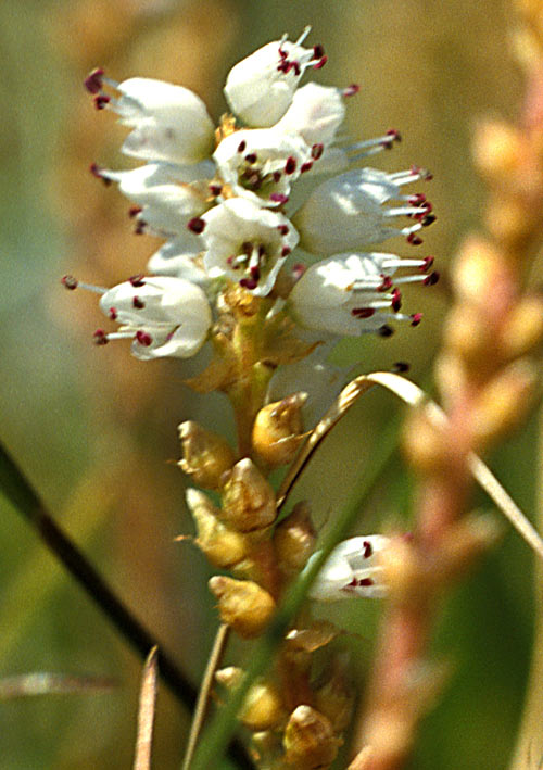
The hill is covered in heather, bracken, and grass, creating a beautiful mosaic of colors, especially during the summer months when the heather blooms. The area is also home to a variety of wildlife, including birds, rabbits, and moorland species.

At the summit of Standards Hill, there is a trig point, which serves as a reference point for surveying and mapping purposes. The hill can be accessed via several footpaths and trails, providing visitors with different routes to explore and enjoy the natural beauty of the area.

Overall, Standards, Yorkshire is a picturesque hill in North Yorkshire, offering breathtaking views and an opportunity to experience the tranquility of the North York Moors National Park.

If you have any feedback on the listing, please let us know in the comments section below.
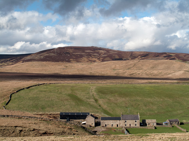
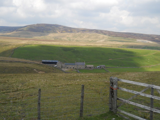
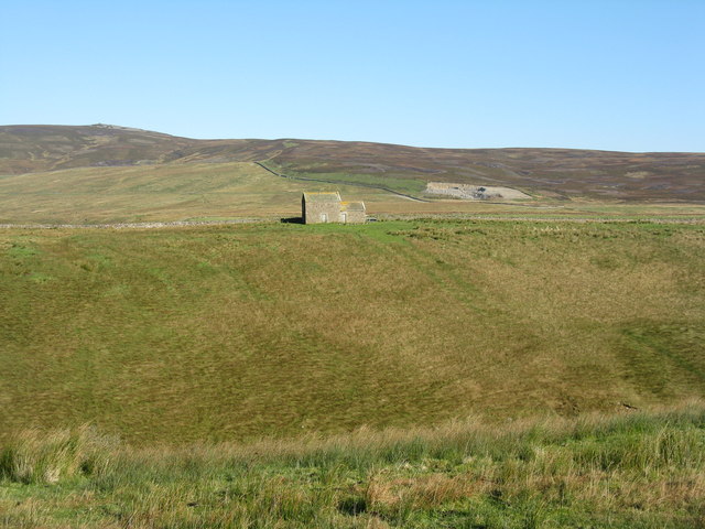
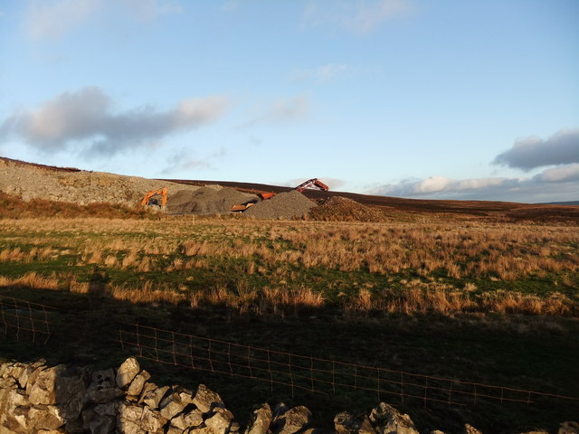
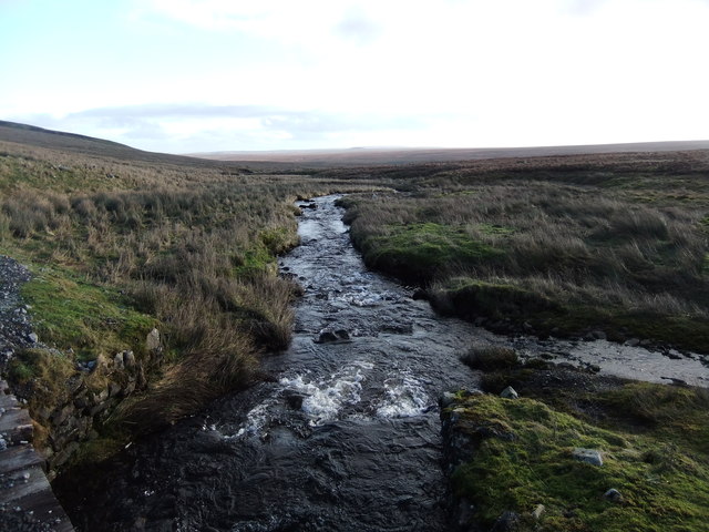
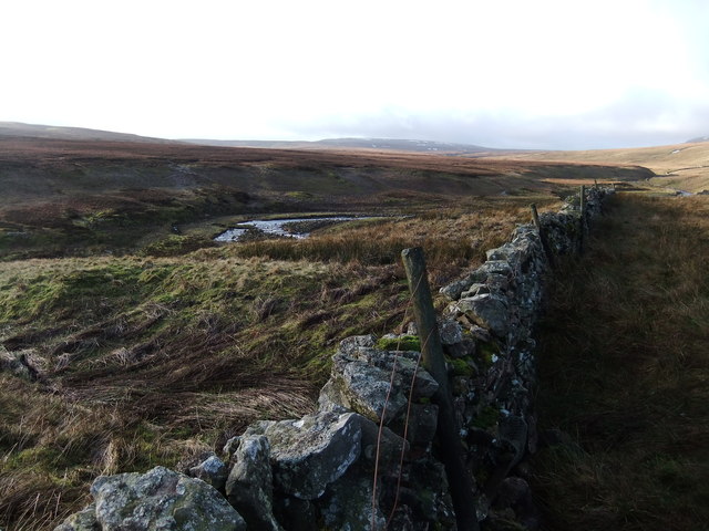
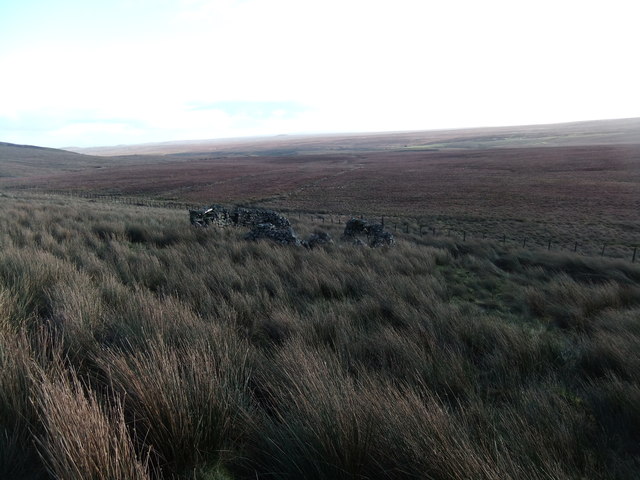
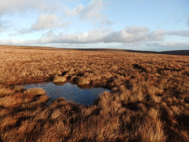
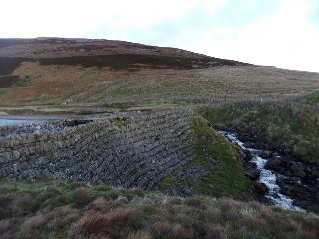
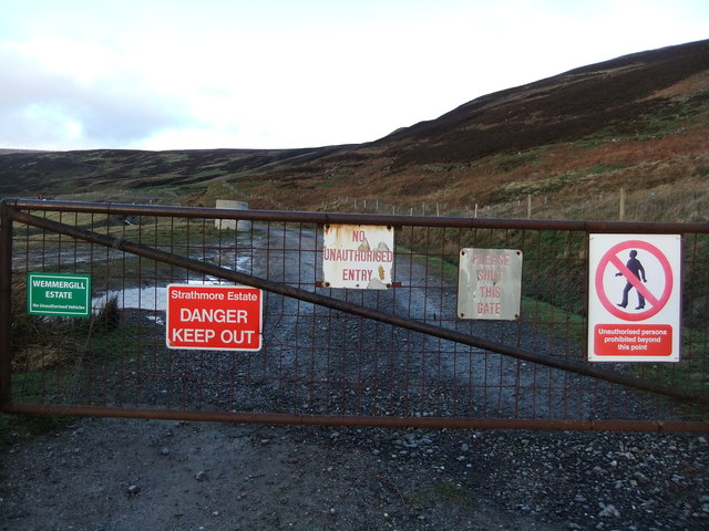
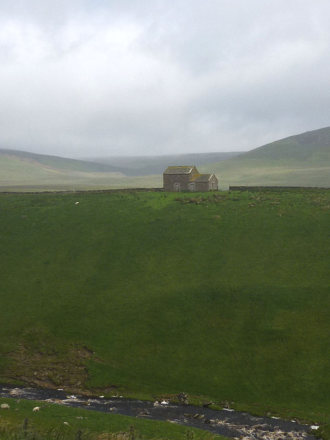
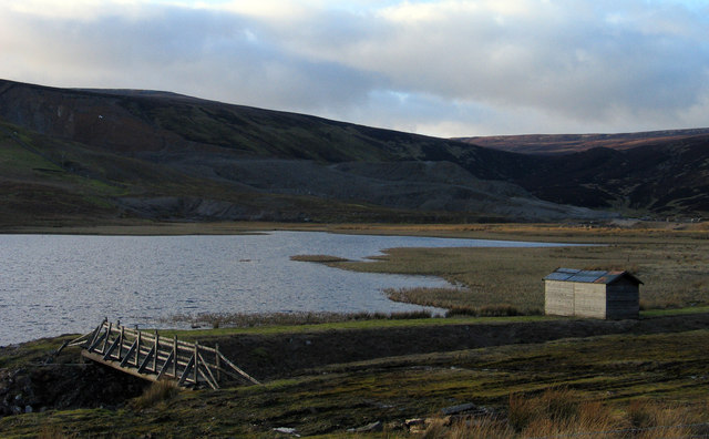
Standards Images

Images are sourced within 2km of 54.598741/-2.2183332 or Grid Reference NY8522. Thanks to Geograph Open Source API. All images are credited.

Lune Head Farm Lune Head is an isolated farm beside Lune Head Beck; it's seen here from the B6276 which lies above to the south. The heather clad hill is known as Standards.
Lune Head Farm
Lune Head is an isolated farm beside Lune Head Beck; it's seen here from the B6276 which lies above to the south. The heather clad hill is known as Standards.
Lune Head Farm
Lune Head Farm
Sheepfold near Grains o' the Beck
Entrance to Fish Lake and Closehouse Mine
Barn on Cross Hill Looking across the deep valley of the young River Lune towards Forest Side in the Lune Forest.
Barn on Cross Hill
Looking across the deep valley of the young River Lune towards Forest Side in the Lune Forest.
Old Quarry
Old Quarry
Arngill Beck
Arngill Beck
Long Grain
Long Grain
Sheepfold
Sheepfold
Wet moorland north of Close House
Fish Lake dam
Fish Lake dam
Pennine welcome
Pennine welcome
Barn above Lune Head Beck The vast moorland sprawl of Mickle Fell beyond.
Barn above Lune Head Beck
The vast moorland sprawl of Mickle Fell beyond.
Peat banks near Staple Moss Staple Moss is a location south-east of Long Crag, itself an extension of the east ridge of Mickle Fell: remote country!
The distant moorland dome is Bink Moss.
Peat banks near Staple Moss
Staple Moss is a location south-east of Long Crag, itself an extension of the east ridge of Mickle Fell: remote country! The distant moorland dome is Bink Moss.
Fish Lake Fish Lake is part of the site of the now disused Close House Mine spoil heaps of which can be seen shadowed in the middle distance. The mine was worked for barytes until fairly recent times.
Fish Lake
Fish Lake is part of the site of the now disused Close House Mine spoil heaps of which can be seen shadowed in the middle distance. The mine was worked for barytes until fairly recent times.
Building north of Lune Head Beck The small building sits on a ridge between Lune Head Beck which flows in the valley below the camera position, and Long Grain, beyond it; the view is as seen from the B6276 crossing the Pennines between Brough and Teesdale. Standards is the hill in the distance.
Building north of Lune Head Beck
The small building sits on a ridge between Lune Head Beck which flows in the valley below the camera position, and Long Grain, beyond it; the view is as seen from the B6276 crossing the Pennines between Brough and Teesdale. Standards is the hill in the distance.
Ruined sheepfold below Close House Crags Beyond the sheepfold is a desolate area of moorland. The minor rise in the distance is ground on the north side of the B6276 comprising Stoneshaw Rigg and Ley Seat. (Note: the stone structure in the foreground is recorded as a sheepfold as it's named as such on OS maps but its small size suggests something other.)
Ruined sheepfold below Close House Crags
Beyond the sheepfold is a desolate area of moorland. The minor rise in the distance is ground on the north side of the B6276 comprising Stoneshaw Rigg and Ley Seat. (Note: the stone structure in the foreground is recorded as a sheepfold as it's named as such on OS maps but its small size suggests something other.)
Ford At Hargill Beck Returning from Bink Moss, I decided to use the ford over Hargill Beck to explore a different track on my way back to the car.
Ford At Hargill Beck
Returning from Bink Moss, I decided to use the ford over Hargill Beck to explore a different track on my way back to the car.
Show me another place!

Standards is located at Grid Ref: NY8522 (Lat: 54.598741, Lng: -2.2183332)

Division: North Riding

Unitary Authority: County Durham

Police Authority: Durham

What 3 Words

///fruits.highlight.gift. Near Holwick, Co. Durham

Nearby Locations

Standards Fish Lake

Related Wikis

Lunedale

Lunedale is the dale, or valley, of the River Lune, on the east side of the Pennines in England, west of Middleton-in-Teesdale. Its principal settlements...

Close House Mine

Close House Mine is a Site of Special Scientific Interest in the Teesdale district of west County Durham, England. It is a working opencast mine located...

Lune Forest

Lune Forest is a Site of Special Scientific Interest covering an extensive area of moorland in the Teesdale district of west Durham, England. In the north...

Grains o' th' Beck Meadows

Grains o' th' Beck Meadows is a Site of Special Scientific Interest in the Teesdale district of south-west County Durham, England. It consists of three...

Nearby Amenities

Located within 500m of 54.598741,-2.2183332
Standards
Ele: 597.4
Natural: peak
Source: OS 1:25k
Lat/Long: 54.5988657/-2.2187891
Turning Circle
Source: Bing
Lat/Long: 54.6028635/-2.2181957
Natural: shake_hole
Source: NLS-OS-NatGrid-110k-1940-60
Lat/Long: 54.6006735/-2.2185929
Natural: spring
Source: NLS-OS-NatGrid-110k-1940-60
Lat/Long: 54.6001881/-2.2143025
Natural: shake_hole
Source: NLS-OS-NatGrid-110k-1940-60
Lat/Long: 54.6019413/-2.2219618
Natural: shake_hole
Source: NLS-OS-NatGrid-110k-1940-60
Lat/Long: 54.6004373/-2.2168763
Natural: shake_hole
Source: NLS-OS-NatGrid-110k-1940-60
Lat/Long: 54.6001757/-2.2162111
Natural: shake_hole
Source: NLS-OS-NatGrid-110k-1940-60
Lat/Long: 54.6006107/-2.2176059
Natural: shake_hole
Source: NLS-OS-NatGrid-110k-1940-60
Lat/Long: 54.5992192/-2.217563
Natural: shake_hole
Source: NLS-OS-NatGrid-110k-1940-60
Lat/Long: 54.5996791/-2.2172197
Natural: shake_hole
Source: NLS-OS-NatGrid-110k-1940-60
Lat/Long: 54.6026367/-2.2215541
Image: https://www.geograph.org.uk/photo/342390
Man Made: cairn
Lat/Long: 54.5987414/-2.2183424
Hunting Stand
Hunting Stand: grouse_butt
Lat/Long: 54.594504/-2.2167894
Hunting Stand
Hunting Stand: grouse_butt
Lat/Long: 54.5948396/-2.2165883
Hunting Stand
Hunting Stand: grouse_butt
Lat/Long: 54.5951768/-2.2163925
Hunting Stand
Hunting Stand: grouse_butt
Lat/Long: 54.5955094/-2.216194
Hunting Stand
Hunting Stand: grouse_butt
Lat/Long: 54.5958543/-2.2159901
Hunting Stand
Hunting Stand: grouse_butt
Lat/Long: 54.5961977/-2.215797
Hunting Stand
Hunting Stand: grouse_butt
Lat/Long: 54.5965411/-2.2156012
Hunting Stand
Hunting Stand: grouse_butt
Lat/Long: 54.5968814/-2.2154027
Hunting Stand
Hunting Stand: grouse_butt
Lat/Long: 54.5972295/-2.2151828
Hunting Stand
Hunting Stand: grouse_butt
Lat/Long: 54.5975807/-2.2150031
Hunting Stand
Hunting Stand: grouse_butt
Lat/Long: 54.597921/-2.2147992
Hunting Stand
Hunting Stand: grouse_butt
Lat/Long: 54.5982582/-2.2146088
The data included in this document is from www.openstreetmap.org. The data is made available under ODbL.

Have you been to Standards?

Leave your review of Standards below (or comments, questions and feedback).