Bluebell Hill
Hill, Mountain in Yorkshire Richmondshire
England
Bluebell Hill
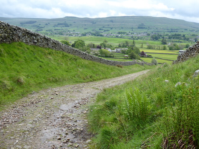
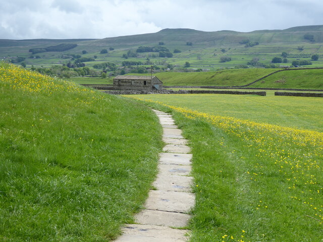
Bluebell Hill is a picturesque hill located in Yorkshire, England. Situated in the North York Moors National Park, it forms part of the stunning landscape that attracts visitors from all over the world. Rising to an elevation of approximately 300 meters, Bluebell Hill offers breathtaking panoramic views of the surrounding countryside.
The hill takes its name from the abundance of bluebells that carpet its slopes during the spring season, creating a sea of vibrant blue hues. This natural spectacle attracts numerous nature enthusiasts and photographers, capturing the beauty of this floral wonderland.
Bluebell Hill is a haven for wildlife, with diverse species inhabiting its lush meadows and ancient woodlands. Visitors may spot various birds, including owls and woodpeckers, as well as mammals such as deer, foxes, and rabbits. The hill is also home to many rare and protected species, making it an important conservation area.
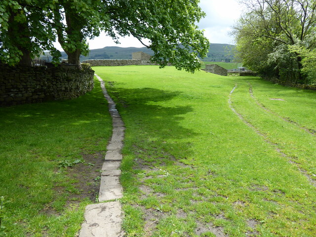
A network of walking trails crisscrosses Bluebell Hill, offering visitors the opportunity to explore its enchanting surroundings. These paths cater to all abilities, ranging from gentle strolls to more challenging hikes. Each trail offers a different perspective of the hill, allowing visitors to immerse themselves in its natural beauty.
For those seeking a more adventurous experience, Bluebell Hill provides opportunities for rock climbing and abseiling on its rugged cliffs. These activities attract thrill-seekers from around the region, who can enjoy the adrenaline rush while taking in the stunning views.
Bluebell Hill is not only a natural gem but also a place of historical significance. The hill is dotted with ancient burial mounds, adding an air of mystery and intrigue to the area.
In summary, Bluebell Hill in Yorkshire is a captivating destination that combines natural beauty, wildlife, and historical intrigue. Whether one seeks tranquility, outdoor activities, or a chance to immerse themselves in nature's wonders, Bluebell Hill offers something for everyone.
If you have any feedback on the listing, please let us know in the comments section below.
Bluebell Hill Images
Images are sourced within 2km of 54.321936/-2.2166325 or Grid Reference SD8691. Thanks to Geograph Open Source API. All images are credited.


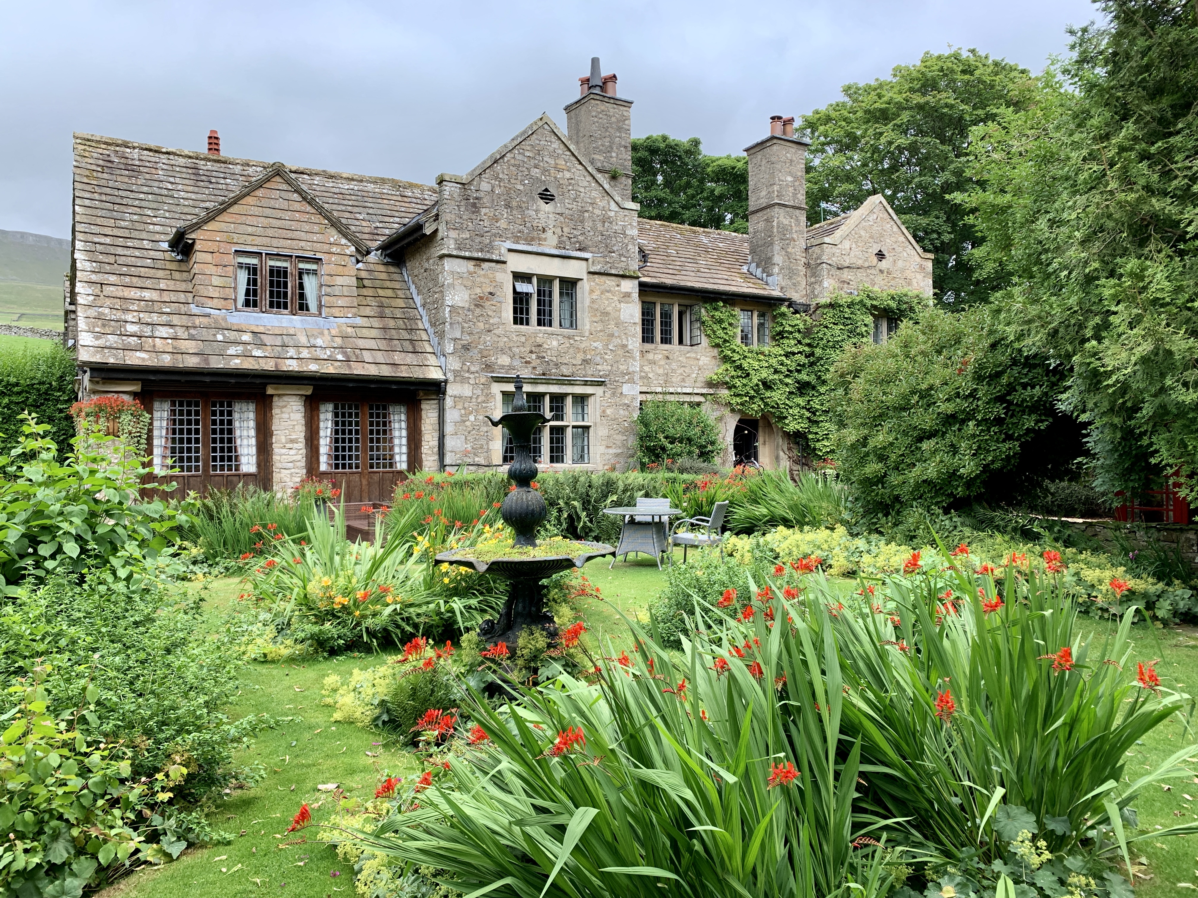
![Pry House, Appersett Farmland in upper Wensleydale.
[Image formed from 2 photos merged together.]](https://s0.geograph.org.uk/geophotos/07/23/49/7234920_6836e27c.jpg)


Bluebell Hill is located at Grid Ref: SD8691 (Lat: 54.321936, Lng: -2.2166325)
Division: North Riding
Administrative County: North Yorkshire
District: Richmondshire
Police Authority: North Yorkshire
What 3 Words
///destined.wells.excavated. Near Kirkby Stephen, Cumbria
Nearby Locations
Related Wikis

St Mary and St John's Church, Hardraw
St Mary and St John's Church, Hardraw (also Hardrow) is a Grade II listed parish church in the Church of England: 181 in Hardraw, North Yorkshire. �...

Hardraw
Hardraw is a hamlet near Hawes within the Yorkshire Dales in North Yorkshire, England. It takes its name from the nearby Hardraw Force waterfall. The old...

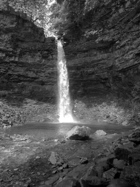
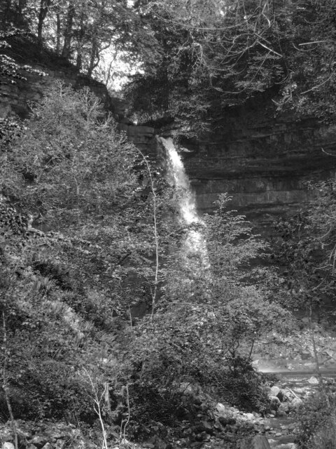
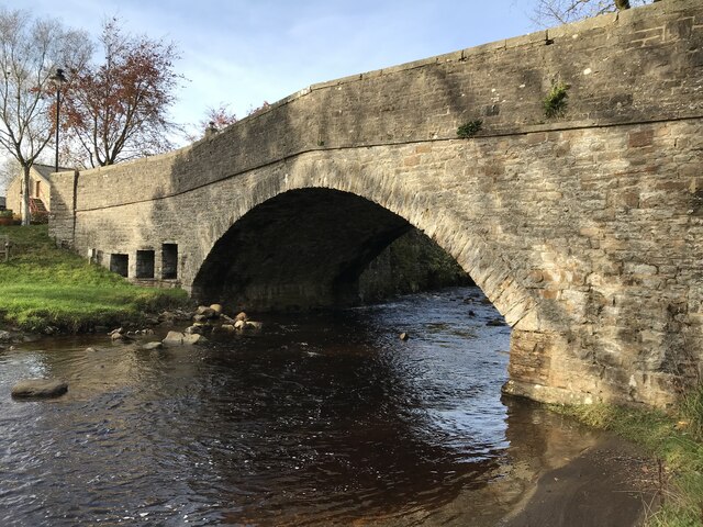
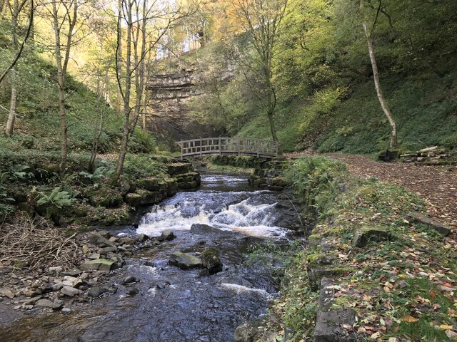
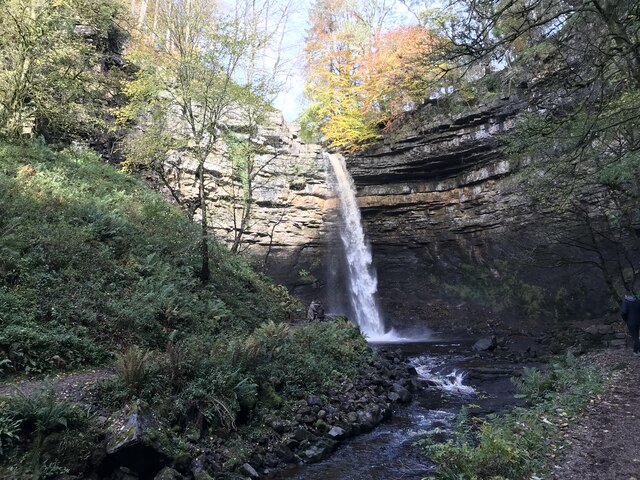
Hardraw Force
Hardraw Force (OS grid ref: SD869917) is a waterfall on Hardraw Beck in Hardraw Scar, a wooded ravine just outside the hamlet of Hardraw, 0.9 miles (1...

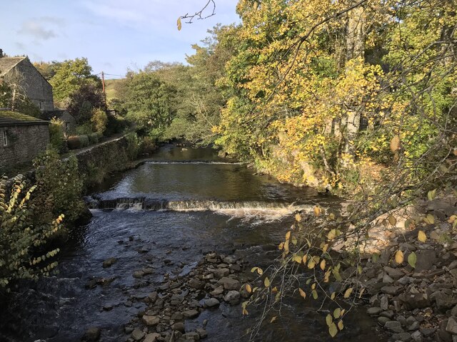
Appersett
Appersett is a hamlet in the Yorkshire Dales in the Richmondshire district of North Yorkshire, England one mile (1.6 km) west of Hawes. It lies on the...

Cotter Force
Cotter Force is a small waterfall on Cotterdale Beck, a minor tributary of the River Ure, near the mouth of Cotterdale, a side dale in Wensleydale, North...

Simonstone, North Yorkshire
Simonstone is a hamlet near Hawes and Hardraw Force within the Yorkshire Dales in North Yorkshire, England. == References ==
Stone House, Hawes
Stone House is a Grade II listed building in the civil parish of High Abbotside, near Hawes, North Yorkshire, England. == History == Stone House was built...

Hawes
Hawes is a market town and civil parish in North Yorkshire, England, at the head of Wensleydale in the Yorkshire Dales, and historically in the North Riding...
Nearby Amenities
Located within 500m of 54.321936,-2.2166325Have you been to Bluebell Hill?
Leave your review of Bluebell Hill below (or comments, questions and feedback).