Plucka Tarn

Lake, Pool, Pond, Freshwater Marsh in Westmorland Eden

England

Plucka Tarn

Banks Gate View of the A66 east bound to Scotch Corner which is climbing at this point towards Stainmore.
Banks Gate Credit: Andy Farrington

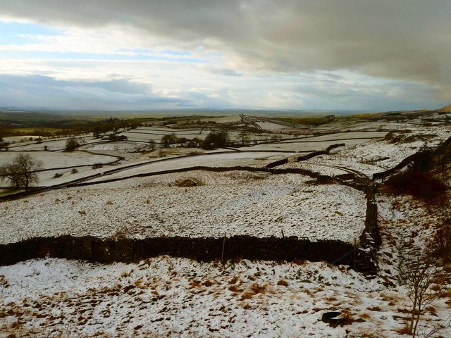
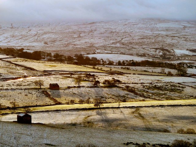
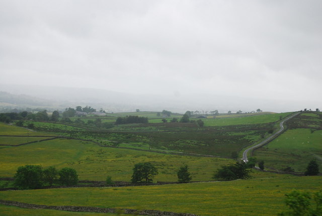
Plucka Tarn is a picturesque freshwater lake located in the region of Westmorland, England. Nestled amidst the rolling hills and charming countryside, it is a popular destination for nature enthusiasts and visitors seeking tranquility. With its crystal-clear waters and surrounding lush greenery, Plucka Tarn offers a serene and idyllic setting.

The lake spans a surface area of approximately 10 acres and is surrounded by a diverse range of vegetation, including reeds, rushes, and water lilies. These plants provide a habitat for various species of birds, insects, and small mammals, making Plucka Tarn a haven for wildlife.

The pristine waters of Plucka Tarn are fed by natural springs and rainfall, ensuring a consistent flow throughout the year. The lake is renowned for its excellent water quality, making it an ideal spot for fishing enthusiasts. Common fish species found in Plucka Tarn include perch, pike, and roach.

The surroundings of the lake are well-maintained, with designated walking trails and viewing points for visitors to enjoy the captivating scenery. The peaceful ambiance and breathtaking views make Plucka Tarn a favorite spot for picnics, photography, and simply unwinding in nature's embrace.

Access to Plucka Tarn is convenient, with a nearby parking area and public transport links. The site has basic facilities such as benches, picnic tables, and waste bins, ensuring a comfortable and enjoyable visit for all.

In conclusion, Plucka Tarn in Westmorland is a charming freshwater lake that offers a tranquil escape from the hustle and bustle of daily life. Its natural beauty, diverse wildlife, and recreational opportunities make it a must-visit destination for those seeking solace in nature's embrace.

If you have any feedback on the listing, please let us know in the comments section below.
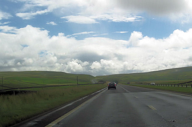
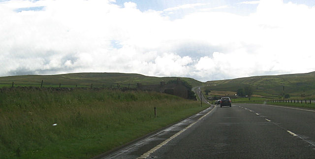
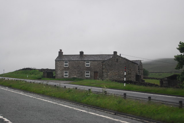
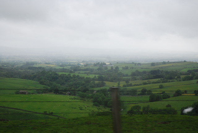
Plucka Tarn Images

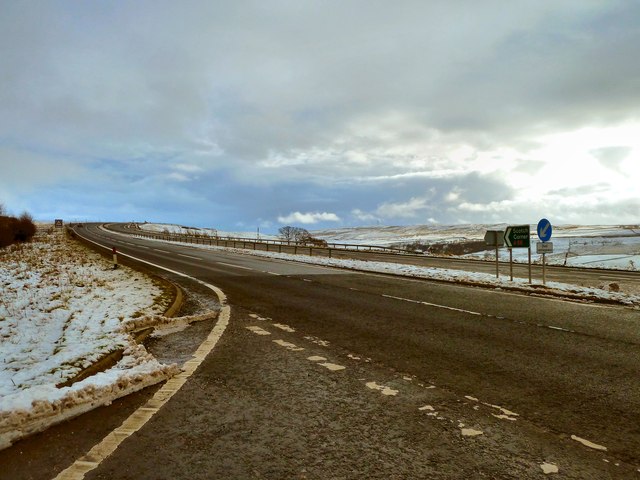
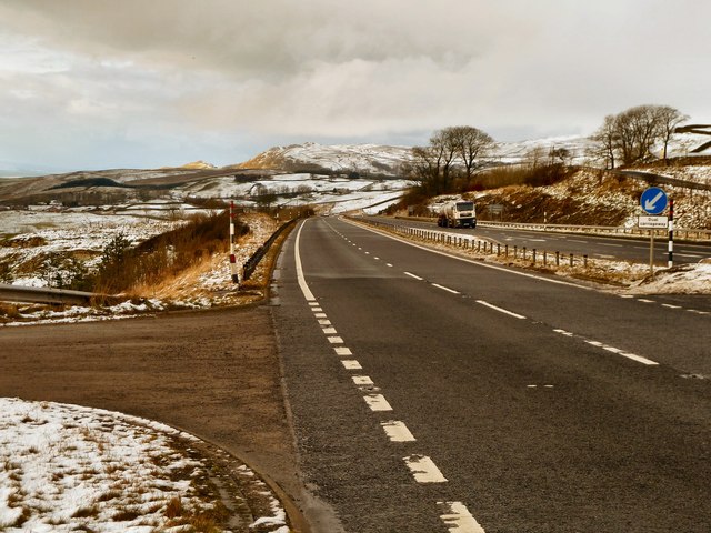
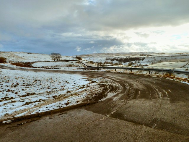
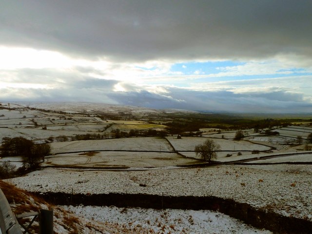
Images are sourced within 2km of 54.533196/-2.2305001 or Grid Reference NY8515. Thanks to Geograph Open Source API. All images are credited.

Banks Gate View of the A66 east bound to Scotch Corner which is climbing at this point towards Stainmore.
Banks Gate
View of the A66 east bound to Scotch Corner which is climbing at this point towards Stainmore.
Banks Gate View of the A66 west bound as it runs down to North Stainmore and Brough.
Banks Gate
View of the A66 west bound as it runs down to North Stainmore and Brough.
Road to Borrenthwaite Hall This small country road off the A66 leads down to the hall with Stainmore Forest in the distance.
Road to Borrenthwaite Hall
This small country road off the A66 leads down to the hall with Stainmore Forest in the distance.
Light Trees View across to Light Trees Farm and South Stainmore.
Light Trees
View across to Light Trees Farm and South Stainmore.
Dowgill View past Dowgill Head to West Dowgill Farm left of picture.
Dowgill
View past Dowgill Head to West Dowgill Farm left of picture.
Dowgill View across the moorland towards South Stainmore, with the sun chancing its hand in places to reflect off the green grass.
Dowgill
View across the moorland towards South Stainmore, with the sun chancing its hand in places to reflect off the green grass.
Side Wind on the A66 Warning sign prepares the driver travelling east on the A66 to Scotch Corner for some tricky driving ahead especially around Stainmore.
Side Wind on the A66
Warning sign prepares the driver travelling east on the A66 to Scotch Corner for some tricky driving ahead especially around Stainmore.
Hill Cattle These hill cattle rushed down the hill to see me when I parked up but as ever I had no feed with me for them, still I hope they were just glad of the company. The view is over towards Plucka Hill.
Hill Cattle
These hill cattle rushed down the hill to see me when I parked up but as ever I had no feed with me for them, still I hope they were just glad of the company. The view is over towards Plucka Hill.
Pennistone Green Farm
Junction for Borrenthwaite Hall A66 east
Junction for Borrenthwaite Hall
A66 east
A66 east approaching Slapestones
Approaching Slapestones on the A66 Slapestones is the farm on the left
Approaching Slapestones on the A66
Slapestones is the farm on the left
Slapstones
Slapstones
Your Cafe, A66
Your Cafe, A66
View from the A66 at Slapestone Bridge
A66 near Slapestone Bridge The A66 is a major road in northern England running from near Middlesbrough to Workington. The section between Scotch Corner and Penrith is a Trans-Pennine route between the A1 and M6, following an old Roman Road.
Wikipedia: <span class="nowrap"><a title="http://en.wikipedia.org/wiki/A66_road" rel="nofollow ugc noopener" href="http://en.wikipedia.org/wiki/A66_road">Link</a><img style="margin-left:2px;" alt="External link" title="External link - shift click to open in new window" src="https://s1.geograph.org.uk/img/external.png" width="10" height="10"/></span>
A66 near Slapestone Bridge
The A66 is a major road in northern England running from near Middlesbrough to Workington. The section between Scotch Corner and Penrith is a Trans-Pennine route between the A1 and M6, following an old Roman Road. Wikipedia: LinkExternal link
Farmland, Dowhill Head
Pennistone Green Farm
Show me another place!

Plucka Tarn is located at Grid Ref: NY8515 (Lat: 54.533196, Lng: -2.2305001)

Administrative County: Cumbria

District: Eden

Police Authority: Cumbria

What 3 Words

///songbird.bulge.length. Near Kirkby Stephen, Cumbria

Nearby Locations

Plucka Hill Plucka Tarn

Related Wikis

Battle of Stainmore

The Battle of Stainmore was probably fought between the Earldom of Bernicia, led by Oswulf, and the forces of the last Norse king of Jórvík (York), Eric...
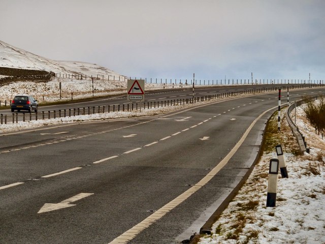
A66 road

The A66 is a major road in Northern England, which in part follows the course of the Roman road from Scotch Corner to Penrith. It runs from east of Middlesbrough...

Stainmore

Stainmore is a remote geographic area in the Pennines on the border of Cumbria, County Durham and North Yorkshire. The name is used for a civil parish...

Snowdrift at Bleath Gill

Snowdrift at Bleath Gill is a 1955 British Transport Film documentary directed by Kenneth Fairbairn. The 10-minute-long film presents a first-hand account...

Nearby Amenities

Located within 500m of 54.533196,-2.2305001
Plucka Hill
Place: locality
Lat/Long: 54.5346932/-2.2296474
The data included in this document is from www.openstreetmap.org. The data is made available under ODbL.

Have you been to Plucka Tarn?

Leave your review of Plucka Tarn below (or comments, questions and feedback).