Plucka Hill
Hill, Mountain in Westmorland Eden
England
Plucka Hill
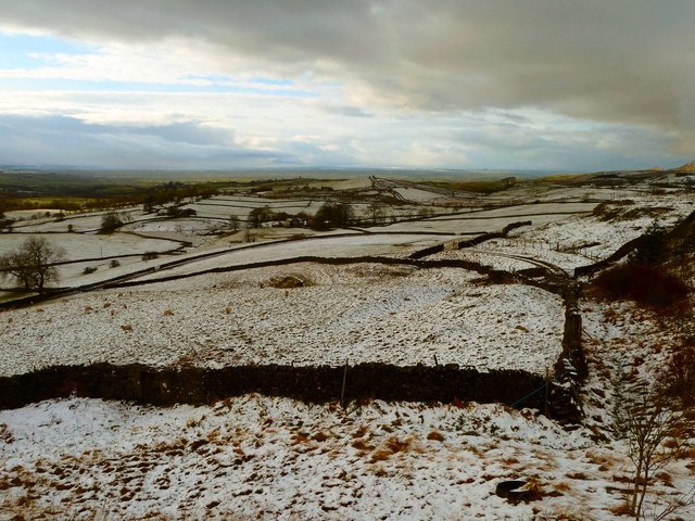
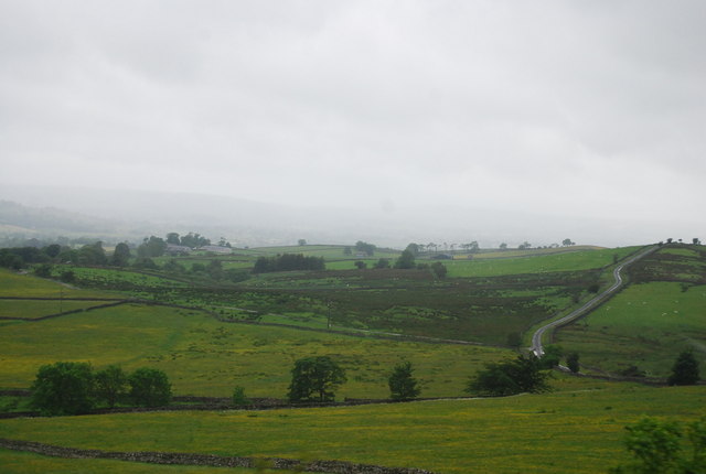
Plucka Hill, located in the county of Westmorland, is a prominent hill/mountain that offers breathtaking views and attracts outdoor enthusiasts and nature lovers alike. Standing at an elevation of approximately 450 meters (1476 feet), it is known for its rugged terrain and challenging hiking trails.
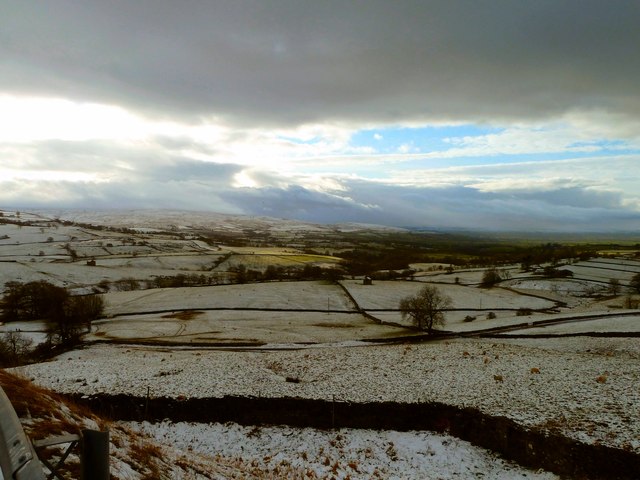
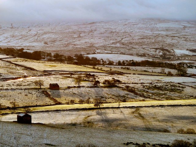
Plucka Hill is situated in a remote and untouched part of Westmorland, surrounded by stunning natural beauty. The hill is covered in lush greenery, with a mix of grassy slopes and rocky outcrops. It boasts a diverse range of flora and fauna, making it a haven for wildlife enthusiasts, birdwatchers, and botanists.
The hill is accessible via a network of well-maintained footpaths and trails, providing opportunities for hikers and walkers to explore its scenic surroundings. The paths vary in difficulty, catering to both experienced trekkers and casual walkers. As visitors ascend the hill, they are rewarded with panoramic views of the surrounding countryside, including picturesque valleys, rolling hills, and distant peaks.
Plucka Hill is also popular among photographers, who are drawn to its natural beauty and the ever-changing colors of the landscape. The hill offers excellent photographic opportunities, particularly during sunrise and sunset when the light brings out the vibrant hues of the terrain.
While Plucka Hill is not the tallest peak in the region, it holds a special place in the hearts of locals and visitors alike due to its natural charm and tranquility. Whether one seeks a challenging hike or a peaceful retreat in nature, Plucka Hill in Westmorland promises a memorable experience for all who venture to its summit.
If you have any feedback on the listing, please let us know in the comments section below.
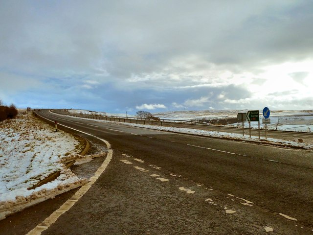
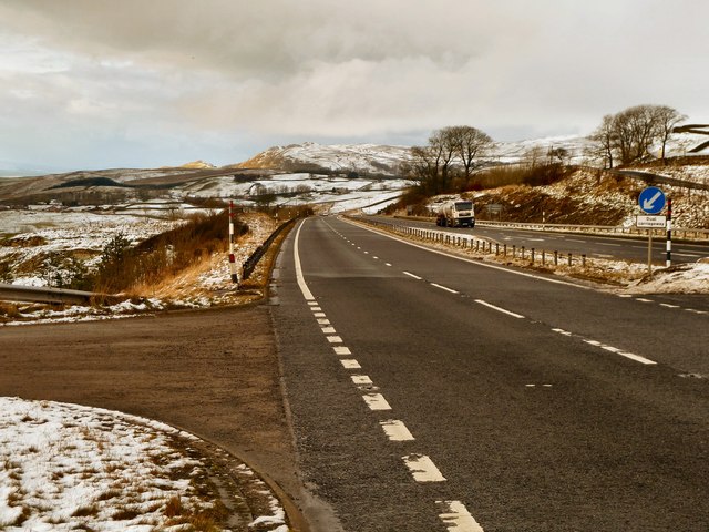
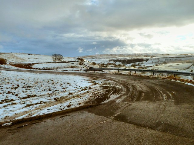
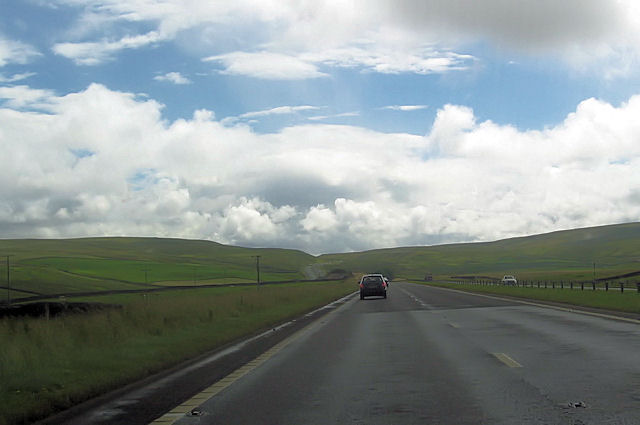
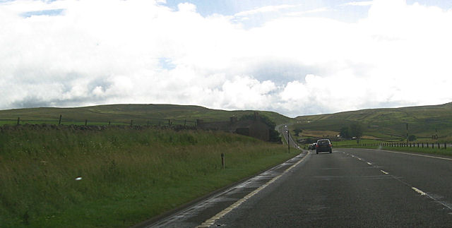
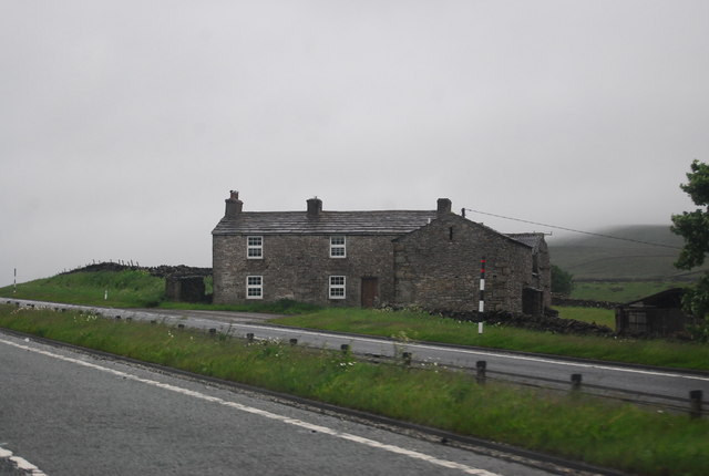
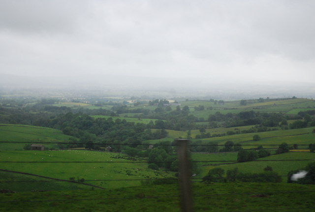
Plucka Hill Images
Images are sourced within 2km of 54.533789/-2.2301635 or Grid Reference NY8515. Thanks to Geograph Open Source API. All images are credited.


Plucka Hill is located at Grid Ref: NY8515 (Lat: 54.533789, Lng: -2.2301635)
Administrative County: Cumbria
District: Eden
Police Authority: Cumbria
What 3 Words
///vandalism.pushover.quietest. Near Kirkby Stephen, Cumbria
Nearby Locations
Related Wikis

Battle of Stainmore
The Battle of Stainmore was probably fought between the Earldom of Bernicia, led by Oswulf, and the forces of the last Norse king of Jórvík (York), Eric...

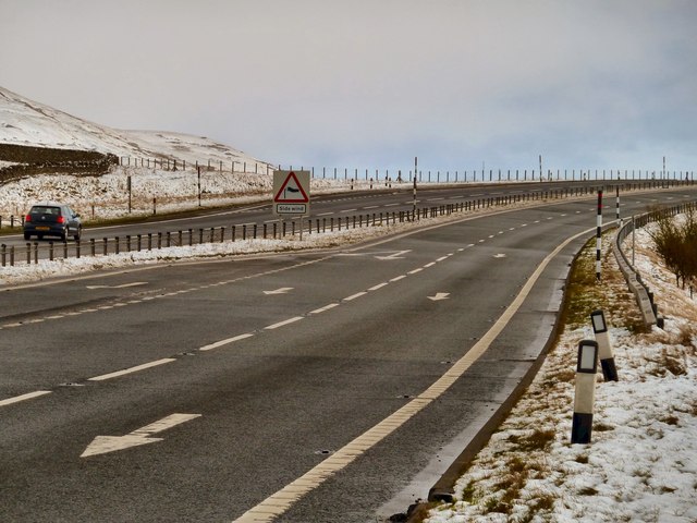
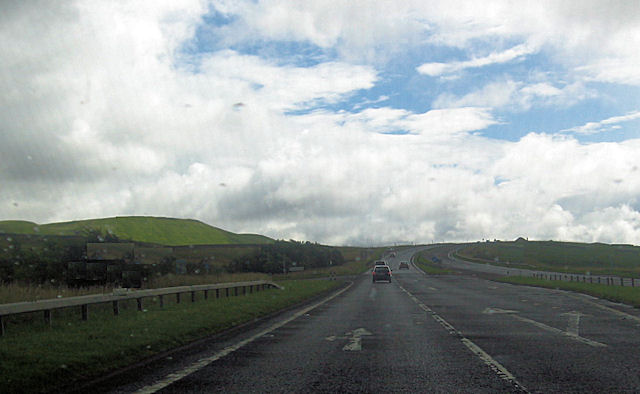
A66 road
The A66 is a major road in Northern England, which in part follows the course of the Roman road from Scotch Corner to Penrith. It runs from east of Middlesbrough...

Stainmore
Stainmore is a remote geographic area in the Pennines on the border of Cumbria, County Durham and North Yorkshire. The name is used for a civil parish...
Snowdrift at Bleath Gill
Snowdrift at Bleath Gill is a 1955 British Transport Film documentary directed by Kenneth Fairbairn. The 10-minute-long film presents a first-hand account...

Barras, Cumbria
Barras is a hamlet close to the River Belah, about 4 miles (6 kilometres) south-east of Brough, Cumbria, England. Until the creation of the new county...

Barras railway station
Barras railway station was situated on the South Durham & Lancashire Union Railway between Barnard Castle and Kirkby Stephen East. == History == The station...

Stainmore Summit
Stainmore Summit is the highest point on the trans-Pennine South Durham & Lancashire Union Railway, also known as the Stainmore Railway in Northern England...
Foster's Hush
Foster's Hush is a Site of Special Scientific Interest in the Teesdale district of west County Durham, England. It is located in the valley of Lune Head...
Related Videos
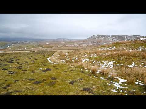
Walking the roman road on Stainmore
The roman road is well preserved in places as it climbs over Stainmore connecting east and west.
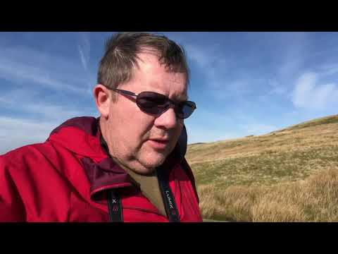
Walking a Roman road
Walking a stretch of Roman road across Stainmore the ancient route over Pennines between Cumbria and County Durham.

Fromewhereidrone - Stainmore road A66
Stainmore road A66.

A Car Ride on the A66 from Stainmore to Brough Cumbria (Westmoreland)
A ride from Stainmore to Brough Cumbria Westmoreland along the A66 the main Scotch corner to Penrith Road including the old ...
Nearby Amenities
Located within 500m of 54.533789,-2.2301635Have you been to Plucka Hill?
Leave your review of Plucka Hill below (or comments, questions and feedback).