Birkdale Tarn

Lake, Pool, Pond, Freshwater Marsh in Yorkshire Richmondshire

England

Birkdale Tarn

Great Sleddale Beck meets Birkdale Beck Becomes the River Swale
Great Sleddale Beck meets Birkdale Beck Credit: David Brown

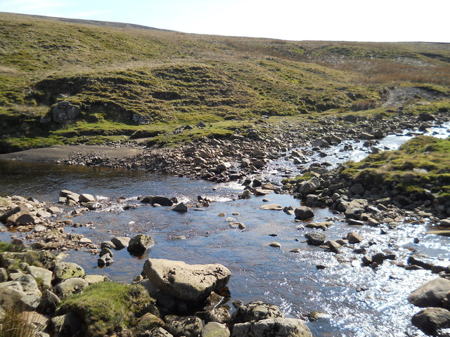
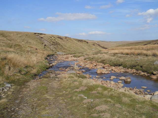
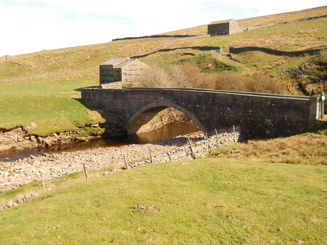
Birkdale Tarn, located in Yorkshire, England, is a mesmerizing freshwater body that can be classified as a lake, pool, pond, and freshwater marsh all at once. Nestled amidst the picturesque Birkdale Common, this natural wonder captivates visitors with its serene beauty and ecological significance.

The tarn spans across a modest area, with a surface that measures approximately 1.5 hectares. Surrounded by lush vegetation and towering trees, it creates a tranquil oasis that is home to a diverse range of flora and fauna. The water in Birkdale Tarn is crystal clear and supports a thriving ecosystem. It acts as a habitat for several aquatic species, including various fish, amphibians, and invertebrates.

The tarn also boasts a rich bird population, attracting both resident and migratory species. Visitors can spot enchanting avian creatures such as swans, ducks, herons, and kingfishers gracefully gliding above the water or perched on the nearby tree branches. The tranquil atmosphere and abundant wildlife make Birkdale Tarn a popular spot for birdwatching enthusiasts.

The surrounding area of the tarn is a freshwater marsh, characterized by wetland vegetation such as reeds, sedges, and rushes. This marshland plays a crucial role in maintaining the health of the tarn by filtering and purifying the water, as well as providing a haven for a variety of marshland species.

Birkdale Tarn offers a peaceful escape from the hustle and bustle of everyday life, providing a perfect setting for leisurely walks, picnics, and photography. Its natural beauty, diverse wildlife, and ecological importance make it a cherished gem in the Yorkshire countryside.

If you have any feedback on the listing, please let us know in the comments section below.

Birkdale Tarn Images

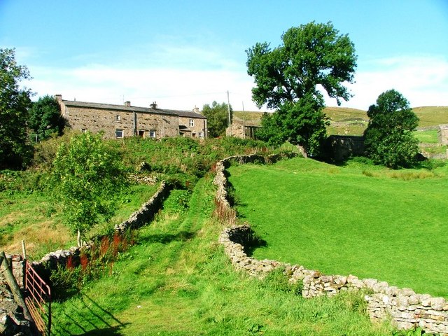
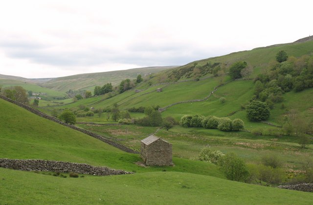
Images are sourced within 2km of 54.411837/-2.229926 or Grid Reference NY8501. Thanks to Geograph Open Source API. All images are credited.

Great Sleddale Beck meets Birkdale Beck Becomes the River Swale
Great Sleddale Beck meets Birkdale Beck
Becomes the River Swale
Ford over Great Sleddale Beck The track crosses and recrosses the beck several times.Walkers are best advised to stay on one side!
Ford over Great Sleddale Beck
The track crosses and recrosses the beck several times.Walkers are best advised to stay on one side!
Bridge over the River Swale The second of three fine stone bridges in less than a mile crossing the Swale-dated 1840
Bridge over the River Swale
The second of three fine stone bridges in less than a mile crossing the Swale-dated 1840
Bridge across River Swale A fine structure going from one field to another. They built them properly then!
Bridge across River Swale
A fine structure going from one field to another. They built them properly then!
A distant view of barns in Whitsundale Seen from the Corpse Road on Kisdon.
A distant view of barns in Whitsundale
Seen from the Corpse Road on Kisdon.
A Swollen River Swale Below Hoggarths Farm.
A Swollen River Swale
Below Hoggarths Farm.
Great Ash Gill With the Public Footpath up Swaledale following it at this point.
Great Ash Gill
With the Public Footpath up Swaledale following it at this point.
High Bridge Spanning the River Swale.
High Bridge
Spanning the River Swale.
Ravenseat farm. Along the Coast to Coast walk.
Ravenseat farm.
Along the Coast to Coast walk.
On the track from the Shooting hut. Along the Coast to Coast path.
On the track from the Shooting hut.
Along the Coast to Coast path.
Ford at Ravenseat This ford on the Whitsundale Beck is found at Ravenseat in Swaledale. The farm featured in "The Dales" television series and lies on the Coast to Coast footpath.

<span class="nowrap"><a title="https://www.instagram.com/p/CxIFDOqsfH7/?img_index=2" rel="nofollow ugc noopener" href="https://www.instagram.com/p/CxIFDOqsfH7/?img_index=2">Link</a><img style="margin-left:2px;" alt="External link" title="External link - shift click to open in new window" src="https://s1.geograph.org.uk/img/external.png" width="10" height="10"/></span>
Ford at Ravenseat
This ford on the Whitsundale Beck is found at Ravenseat in Swaledale. The farm featured in "The Dales" television series and lies on the Coast to Coast footpath. LinkExternal link
Whitsundale Beck put-in at Ravenseat Being at the end of a dead-end road fairly well out of the way, the farmer at Ravenseat quite possibly finds it bizarre how many "tourist" cars get parked here in truly miserable weather, if only for a short while whilst boats are unloaded. His children certainly seemed puzzled by what we were going to do when we got to the waterfall on Whitsundale Beck. However, by the standards of obscure spate becks, Whitsundale is quite popular as it doesn't take too much rain to bring it into condition and it has the distinction of being featured in the Canoe and Kayak Guide to Northwest England. As it is also a tributary to the popular local test-piece, the Keld gorge of the Upper Swale, it is a very good warm up and alternative starting point for the latter river. This photo was taken on a day when we'd not only had plenty of rain (the Swale was at a chunky 1.2m on the Park Bridge EA gauge), but it was still falling, accompanied by a bitter wind across the moors. Great weather for ducks - and paddlers !
Whitsundale Beck put-in at Ravenseat
Being at the end of a dead-end road fairly well out of the way, the farmer at Ravenseat quite possibly finds it bizarre how many "tourist" cars get parked here in truly miserable weather, if only for a short while whilst boats are unloaded. His children certainly seemed puzzled by what we were going to do when we got to the waterfall on Whitsundale Beck. However, by the standards of obscure spate becks, Whitsundale is quite popular as it doesn't take too much rain to bring it into condition and it has the distinction of being featured in the Canoe and Kayak Guide to Northwest England. As it is also a tributary to the popular local test-piece, the Keld gorge of the Upper Swale, it is a very good warm up and alternative starting point for the latter river. This photo was taken on a day when we'd not only had plenty of rain (the Swale was at a chunky 1.2m on the Park Bridge EA gauge), but it was still falling, accompanied by a bitter wind across the moors. Great weather for ducks - and paddlers !
Black How from the Ravenseat road A bleak day of heavy rain, melting snow, and strong bitter winds across the fell - almost ideal conditions for paddling spate becks, which is how we came to be up the rather obscure Ravenseat road with a view to a descent of Whitsundale Beck.
Black How from the Ravenseat road
A bleak day of heavy rain, melting snow, and strong bitter winds across the fell - almost ideal conditions for paddling spate becks, which is how we came to be up the rather obscure Ravenseat road with a view to a descent of Whitsundale Beck.
The B6270 heading west for Nateby At the time of taking this photo, the B6270 was closed between here and the county border <a href="https://www.geograph.org.uk/gridref/NY81160405">NY81160405</a>. At first I thought this rather a nuisance, but then realised that it enabled me to stop for photos wherever I wanted without causing any obstruction!
The B6270 heading west for Nateby
At the time of taking this photo, the B6270 was closed between here and the county border NY81160405. At first I thought this rather a nuisance, but then realised that it enabled me to stop for photos wherever I wanted without causing any obstruction!
The B6270 heading for Keld At the time of taking this photo, the B6270 was closed between Ravenseat and the county border (NY81160405). At first I thought this rather a nuisance, but then realised that it enabled me to stop for photos wherever I wanted without causing any obstruction!
The B6270 heading for Keld
At the time of taking this photo, the B6270 was closed between Ravenseat and the county border (NY81160405). At first I thought this rather a nuisance, but then realised that it enabled me to stop for photos wherever I wanted without causing any obstruction!
The upper reaches of the River Swale Looking upstream. About a kilometre further upstream (west) the name 'River Swale' disappears:  at that point Birkdale Beck and Great Sleddale Beck meet to become the Swale.
The upper reaches of the River Swale
Looking upstream. About a kilometre further upstream (west) the name 'River Swale' disappears: at that point Birkdale Beck and Great Sleddale Beck meet to become the Swale.
High Bridge Carrying the B6270 over the River Swale.
High Bridge
Carrying the B6270 over the River Swale.
The B6270 above Birk Dale
Show me another place!

Birkdale Tarn is located at Grid Ref: NY8501 (Lat: 54.411837, Lng: -2.229926)

Division: North Riding

Administrative County: North Yorkshire

District: Richmondshire

Police Authority: North Yorkshire

What 3 Words

///mural.beamed.gravitate. Near Kirkby Stephen, Cumbria

Nearby Locations

Tarn Moss Birkdale Tarn

Related Wikis

Birkdale, North Yorkshire

Birkdale (sometimes written out as Birk Dale) is a dale in the Yorkshire Dales National Park, in North Yorkshire, England. It lies at the far western end...

Wain Wath Force

Wain Wath Force is a waterfall on the River Swale in the Yorkshire Dales National Park, North Yorkshire, England. The falls are at grid reference NY883015...

West Stonesdale

West Stonesdale is a hamlet in the Yorkshire Dales, North Yorkshire, England. The secluded village is near Keld to the south, Tan Hill to the north and...

Keld, North Yorkshire

Keld is a village in the English county of North Yorkshire. It is in Swaledale, and the Yorkshire Dales National Park. The name derives from the Viking...

Angram, Richmondshire

Angram is a hamlet in the Yorkshire Dales in the Richmondshire district of North Yorkshire, England. It is situated near to Keld to the north and Thwaite...

Catrake Force

Catrake Force is a waterfall on the River Swale in North Yorkshire, England. It is not visible from the road but is accessible via a campsite in Keld....

Angram Bottoms

Angram Bottoms (grid reference SD891999) is a 9.8 hectares (24 acres) biological Site of Special Scientific Interest (SSSI) near to the village of Angram...

East Gill Force

East Gill Force is a waterfall in Swaledale, 330 yards (300 m) east of the hamlet of Keld, in the Yorkshire Dales National Park, North Yorkshire, England...

Nearby Amenities

Located within 500m of 54.411837,-2.229926
Tarn Moss
Ele: 493
Natural: peak
Lat/Long: 54.4133015/-2.2282826
Waterway: waterfall
Lat/Long: 54.4085375/-2.2336336
High Gayle
Place: locality
Lat/Long: 54.4106166/-2.2348004
Low Gayle
Place: locality
Lat/Long: 54.4084583/-2.2342022
Hunting Stand
Hunting Stand: grouse_butt
Lat/Long: 54.4162564/-2.2306659
Hunting Stand
Hunting Stand: grouse_butt
Lat/Long: 54.4156951/-2.2312405
Hunting Stand
Hunting Stand: grouse_butt
Lat/Long: 54.4153817/-2.2316016
Hunting Stand
Hunting Stand: grouse_butt
Lat/Long: 54.416012/-2.2309878
Hunting Stand
Hunting Stand: grouse_butt
Lat/Long: 54.4150578/-2.2319103
The data included in this document is from www.openstreetmap.org. The data is made available under ODbL.

Have you been to Birkdale Tarn?

Leave your review of Birkdale Tarn below (or comments, questions and feedback).