Parker's Pool
Lake, Pool, Pond, Freshwater Marsh in Northumberland
England
Parker's Pool
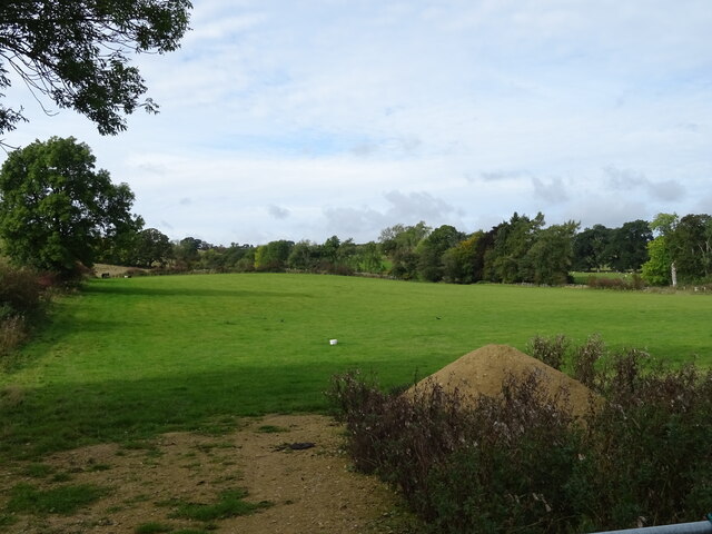
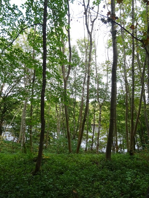
Parker's Pool is a natural freshwater feature located in Northumberland, England. It is best described as a lake, pool, pond, and freshwater marsh all in one. Situated in an idyllic rural setting, Parker's Pool covers an area of approximately 5 acres and is surrounded by lush green vegetation.
The pool is fed by several small streams originating from the nearby hills, ensuring a constant flow of freshwater. The water is clear and pristine, providing a perfect habitat for a diverse range of aquatic plants and animals. The pool's depth varies, with some areas being quite shallow, while others reach depths of up to 10 feet.
The edges of Parker's Pool are lined with reeds and rushes, creating a natural barrier between the water and the surrounding land. This marshy vegetation provides an ideal nesting ground for various bird species, including herons, ducks, and geese. Birdwatchers often visit the area to observe these fascinating creatures in their natural habitat.
The pool itself is home to numerous fish species, such as perch, pike, and roach, making it a popular spot for anglers. Fishing enthusiasts can often be seen casting their lines from the banks, hoping to catch their next big catch.
Parker's Pool also attracts visitors who enjoy leisurely walks and picnics by the water's edge. There are designated walking trails that meander through the surrounding countryside, providing picturesque views of the pool and its serene surroundings.
Overall, Parker's Pool is a tranquil and picturesque freshwater feature, offering a variety of activities and opportunities for nature lovers and outdoor enthusiasts alike.
If you have any feedback on the listing, please let us know in the comments section below.
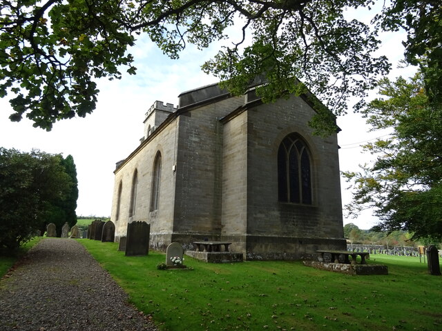
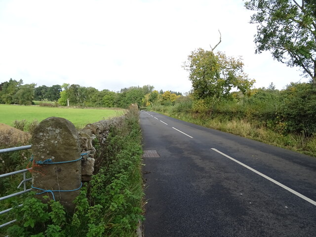
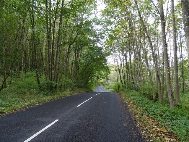
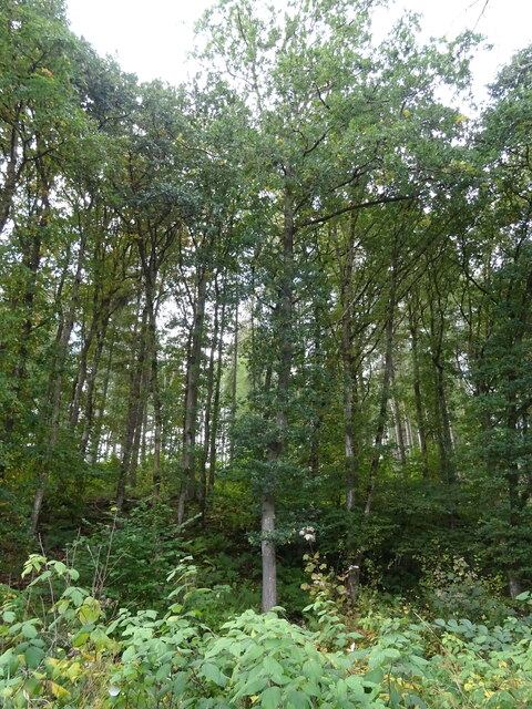
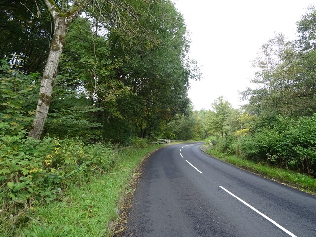
Parker's Pool Images
Images are sourced within 2km of 55.105167/-2.2340348 or Grid Reference NY8578. Thanks to Geograph Open Source API. All images are credited.


Parker's Pool is located at Grid Ref: NY8578 (Lat: 55.105167, Lng: -2.2340348)
Unitary Authority: Northumberland
Police Authority: Northumbria
What 3 Words
///debater.pitch.squashes. Near Birtley, Northumberland
Nearby Locations
Related Wikis

Wark on Tyne
Wark on Tyne is a small village and civil parish in Northumberland, England, 12 miles (19 km) north of Hexham. == History == The name is derived from the...

Wark Town Hall
Wark Town Hall is a municipal building on The Green in Wark on Tyne, Northumberland, England. The building, which is used as a community events venue,...

Wark in Tyndale Castle
Wark in Tyndale Castle was a medieval building in the English county of Northumberland (grid reference NY861768). It was first mentioned in 1399–1400,...
Countess Park railway station
Countess Park railway station served the village of Bellingham, Northumberland, England from 1859 to 1861, during the construction of the Border Counties...

Birtley, Northumberland
Birtley is a village in Northumberland, England southeast of Bellingham. It is about 10 miles (16 km) north of Hexham. == References == == External... ==

Wark railway station
Wark railway station is a disused railway station which served the village of Wark on Tyne, Northumberland, England. Located on the Border Counties Railway...

River Rede
The Rede is a river in Northumberland, England. The river rises on Carter Fell on the Anglo-Scottish border feeding Catcleugh Reservoir and joins the River...

Reedsmouth railway station
Reedsmouth is a closed railway station in Northumberland, England. It was a junction station where the Wansbeck Railway (Morpeth to Reedsmouth) joined...
Nearby Amenities
Located within 500m of 55.105167,-2.2340348Have you been to Parker's Pool?
Leave your review of Parker's Pool below (or comments, questions and feedback).