Dinless Wood
Wood, Forest in Northumberland
England
Dinless Wood
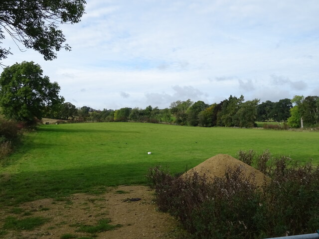
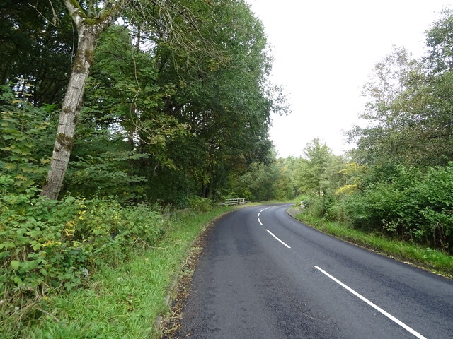
Dinless Wood is a picturesque forest located in the county of Northumberland, England. Situated near the small village of Dinless, this woodland covers an area of approximately 100 hectares and is renowned for its natural beauty and diverse ecosystem.
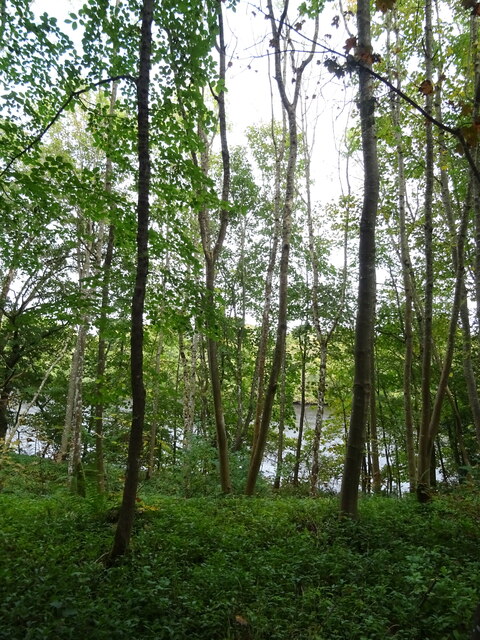
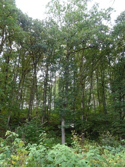
The wood consists mainly of broadleaf trees, such as oak, beech, and birch, which create a dense canopy offering shade and shelter to a variety of wildlife. The forest floor is covered with a rich carpet of ferns, mosses, and wildflowers, adding to the enchanting atmosphere of the wood.
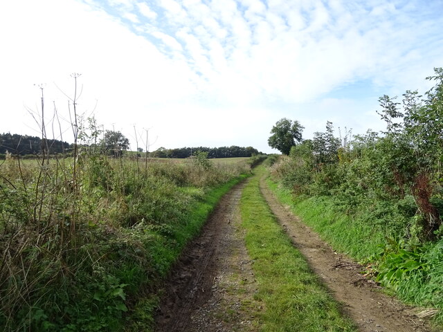
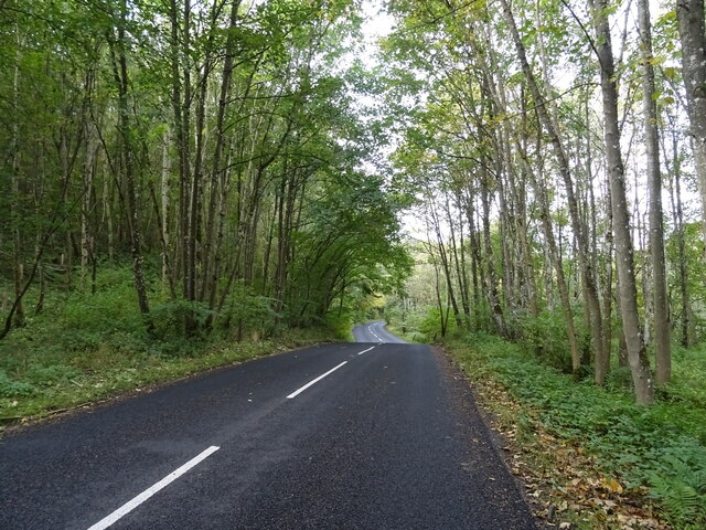
Dinless Wood is a haven for nature enthusiasts and offers numerous opportunities for outdoor activities. It is crisscrossed by a network of well-maintained walking trails, allowing visitors to explore the forest at their own pace. These trails lead to various points of interest, including a tranquil pond, a meandering stream, and several viewpoints that offer stunning vistas of the surrounding countryside.
The woodland is also home to a wide range of animal species, including deer, foxes, badgers, and a plethora of bird species. It provides an important habitat for many rare and protected species, making it a designated Site of Special Scientific Interest (SSSI).
Dinless Wood is open to the public year-round, and visitors can enjoy a peaceful and immersive experience in nature. Whether it's a leisurely stroll, birdwatching, or simply enjoying the tranquility, this woodland offers a truly magical escape into the heart of Northumberland's natural beauty.
If you have any feedback on the listing, please let us know in the comments section below.
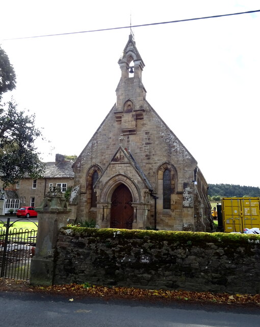
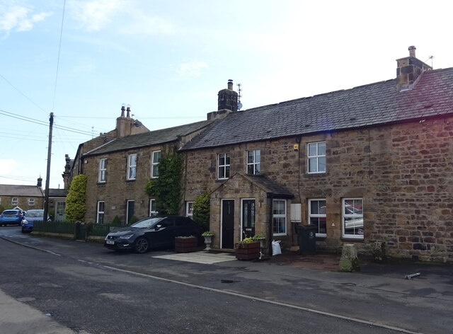
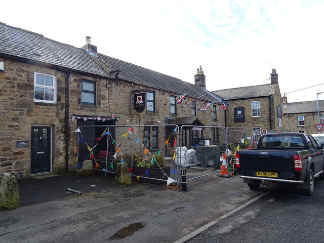
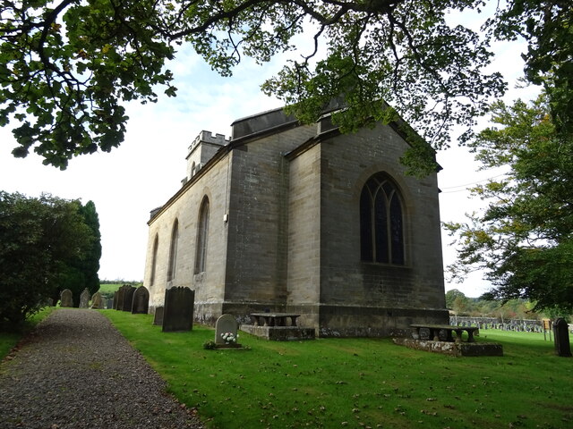
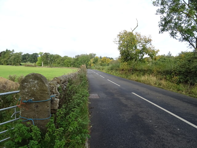
Dinless Wood Images
Images are sourced within 2km of 55.097013/-2.2314015 or Grid Reference NY8578. Thanks to Geograph Open Source API. All images are credited.

Dinless Wood is located at Grid Ref: NY8578 (Lat: 55.097013, Lng: -2.2314015)
Unitary Authority: Northumberland
Police Authority: Northumbria
What 3 Words
///will.slanting.exhale. Near Birtley, Northumberland
Nearby Locations
Related Wikis

Wark on Tyne
Wark on Tyne is a small village and civil parish in Northumberland, England, 12 miles (19 km) north of Hexham. == History == The name is derived from the...

Wark Town Hall
Wark Town Hall is a municipal building on The Green in Wark on Tyne, Northumberland, England. The building, which is used as a community events venue,...

Wark in Tyndale Castle
Wark in Tyndale Castle was a medieval building in the English county of Northumberland (grid reference NY861768). It was first mentioned in 1399–1400,...

Wark railway station
Wark railway station is a disused railway station which served the village of Wark on Tyne, Northumberland, England. Located on the Border Counties Railway...

Birtley, Northumberland
Birtley is a village in Northumberland, England southeast of Bellingham. It is about 10 miles (16 km) north of Hexham. == References == == External... ==
Countess Park railway station
Countess Park railway station served the village of Bellingham, Northumberland, England from 1859 to 1861, during the construction of the Border Counties...
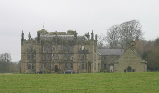
Chipchase Castle
Chipchase Castle is a 17th-century Jacobean mansion incorporating a substantial 14th-century pele tower, which stands north of Hadrian's Wall, near Wark...

River Rede
The Rede is a river in Northumberland, England. The river rises on Carter Fell on the Anglo-Scottish border feeding Catcleugh Reservoir and joins the River...
Have you been to Dinless Wood?
Leave your review of Dinless Wood below (or comments, questions and feedback).