Carry House Woods
Wood, Forest in Northumberland
England
Carry House Woods
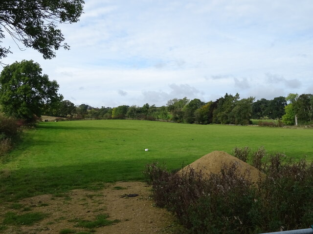
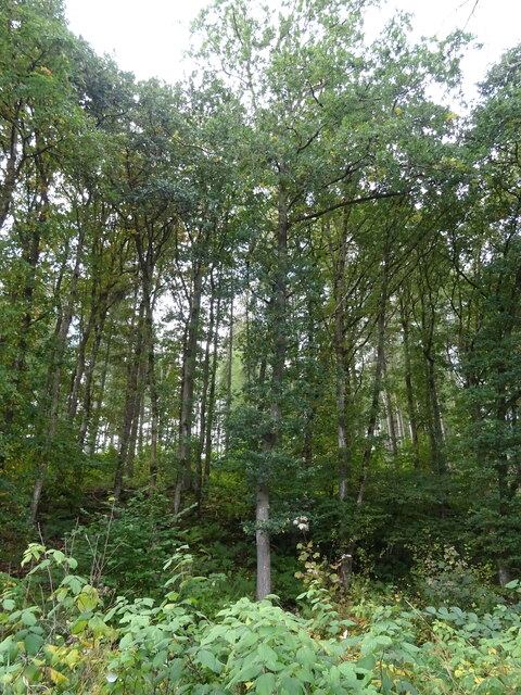
Carry House Woods is a picturesque woodland located in the county of Northumberland, England. Covering an area of approximately 100 acres, it is a popular destination for nature lovers, hikers, and wildlife enthusiasts.
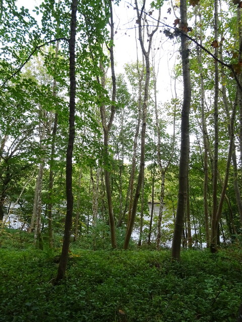
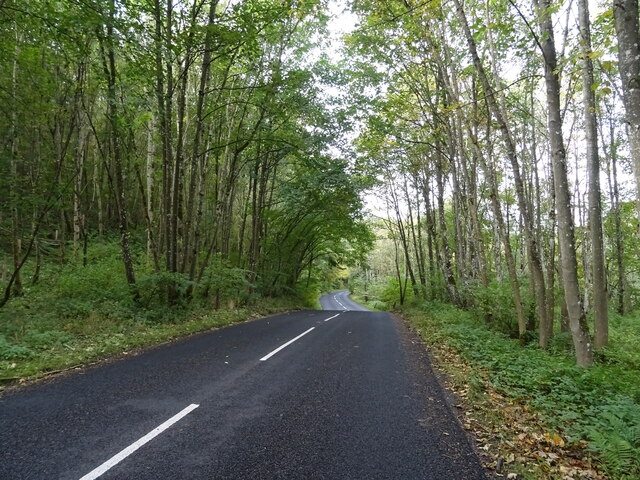
The woods are known for their diverse range of tree species, including oak, beech, ash, and birch. The dense canopy created by these towering trees provides a cool and shaded environment, perfect for a leisurely stroll on a sunny day. The forest floor is carpeted with a variety of wildflowers, ferns, and mosses, adding to the natural beauty of the area.
Carry House Woods is also home to a rich assortment of wildlife. Visitors may spot red squirrels darting among the treetops or catch a glimpse of roe deer grazing in the undergrowth. The woods are also a haven for birdlife, with species such as woodpeckers, owls, and songbirds making their homes here.
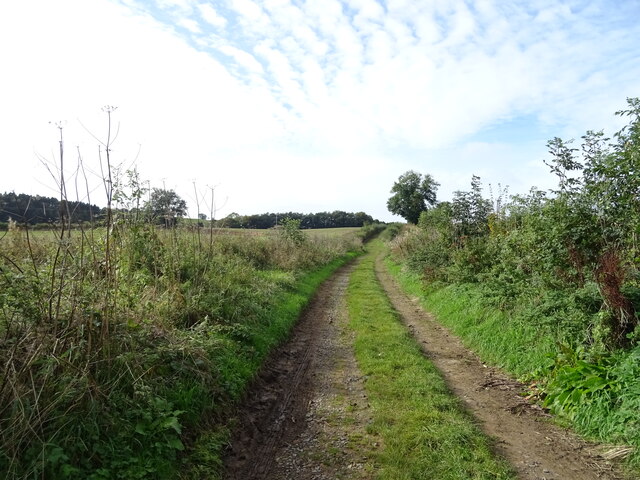
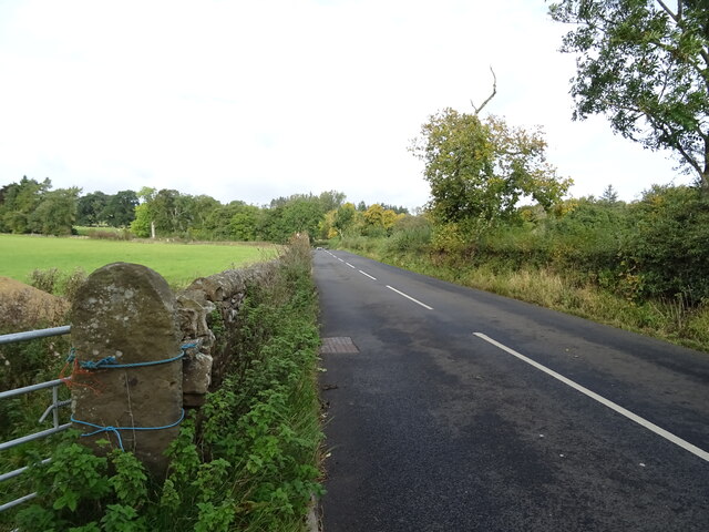
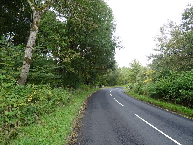
The woods are crisscrossed by a network of well-maintained trails, making it easy for visitors to explore the area. These trails lead to various points of interest, including a picturesque pond and a small waterfall. There are also several picnic areas scattered throughout the woods, providing the perfect opportunity to relax and enjoy the tranquil surroundings.
Carry House Woods offers a peaceful retreat from the hustle and bustle of everyday life. Whether one seeks solitude, a connection with nature, or an opportunity to spot wildlife, this woodland is a must-visit destination for nature enthusiasts of all ages.
If you have any feedback on the listing, please let us know in the comments section below.
Carry House Woods Images
Images are sourced within 2km of 55.101947/-2.2215253 or Grid Reference NY8578. Thanks to Geograph Open Source API. All images are credited.
Carry House Woods is located at Grid Ref: NY8578 (Lat: 55.101947, Lng: -2.2215253)
Unitary Authority: Northumberland
Police Authority: Northumbria
What 3 Words
///bearable.prawn.inner. Near Birtley, Northumberland
Nearby Locations
Related Wikis

Wark on Tyne
Wark on Tyne is a small village and civil parish in Northumberland, England, 12 miles (19 km) north of Hexham. == History == The name is derived from the...

Wark Town Hall
Wark Town Hall is a municipal building on The Green in Wark on Tyne, Northumberland, England. The building, which is used as a community events venue,...

Wark in Tyndale Castle
Wark in Tyndale Castle was a medieval building in the English county of Northumberland (grid reference NY861768). It was first mentioned in 1399–1400,...

Birtley, Northumberland
Birtley is a village in Northumberland, England southeast of Bellingham. It is about 10 miles (16 km) north of Hexham. == References == == External... ==
Countess Park railway station
Countess Park railway station served the village of Bellingham, Northumberland, England from 1859 to 1861, during the construction of the Border Counties...

Wark railway station
Wark railway station is a disused railway station which served the village of Wark on Tyne, Northumberland, England. Located on the Border Counties Railway...

River Rede
The Rede is a river in Northumberland, England. The river rises on Carter Fell on the Anglo-Scottish border feeding Catcleugh Reservoir and joins the River...

Reedsmouth railway station
Reedsmouth is a closed railway station in Northumberland, England. It was a junction station where the Wansbeck Railway (Morpeth to Reedsmouth) joined...
Nearby Amenities
Located within 500m of 55.101947,-2.2215253Have you been to Carry House Woods?
Leave your review of Carry House Woods below (or comments, questions and feedback).