Carry House Woods
Wood, Forest in Northumberland
England
Carry House Woods
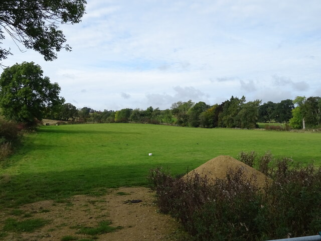
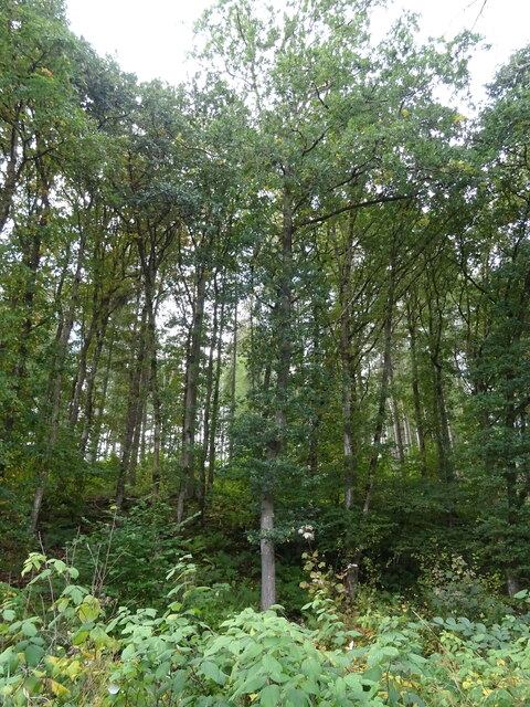
Carry House Woods, located in Northumberland, is a scenic woodland area renowned for its natural beauty and tranquil atmosphere. Covering an expansive area, the woods are home to a diverse range of tree species, creating a rich and vibrant landscape.
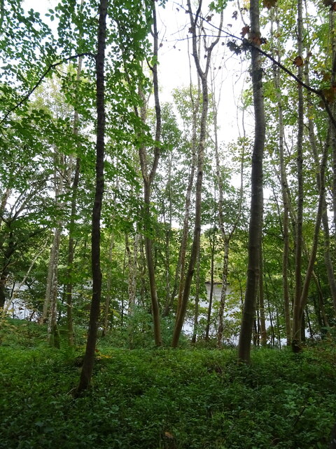
The woods are predominantly composed of native deciduous trees, including oak, beech, and birch, which provide a stunning display of colors throughout the changing seasons. The dense foliage and tall, ancient trees create a shaded canopy that offers a respite from the sun during summer months.
Carry House Woods is a haven for wildlife, with a multitude of species making their home within its boundaries. Visitors have the opportunity to spot a variety of birds, including woodpeckers, owls, and various songbirds. Squirrels, rabbits, and even the occasional deer can be seen darting through the undergrowth.
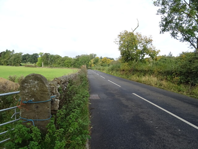
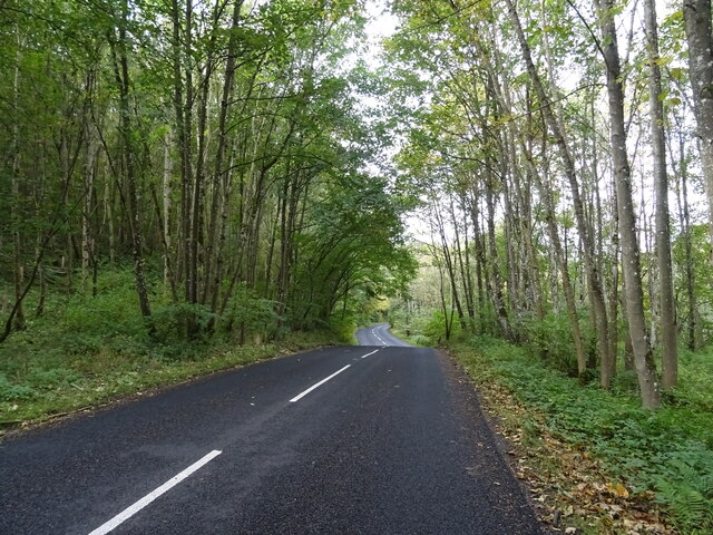
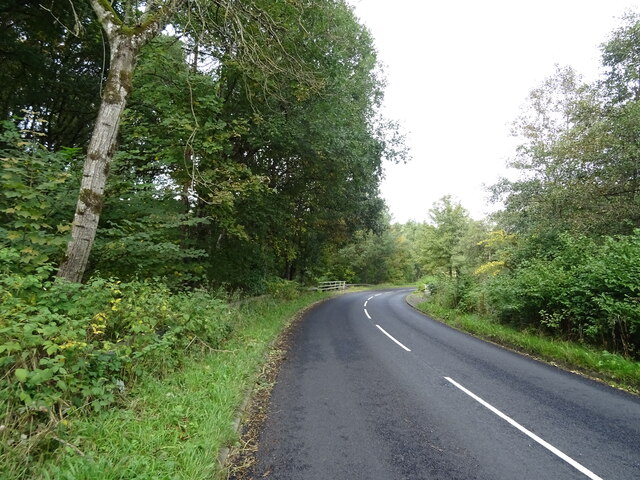
The woods offer a network of walking trails, providing visitors with the chance to explore and appreciate the natural surroundings. These trails wind through the woods, offering glimpses of picturesque clearings, babbling brooks, and mossy glens. As visitors venture deeper into the woods, they may stumble upon hidden gems such as secluded ponds and ancient stone ruins.
Carry House Woods provides a serene escape from the hustle and bustle of everyday life, allowing visitors to reconnect with nature and experience the tranquility that comes with it. With its stunning scenery, diverse wildlife, and peaceful atmosphere, Carry House Woods is a true gem of Northumberland.
If you have any feedback on the listing, please let us know in the comments section below.
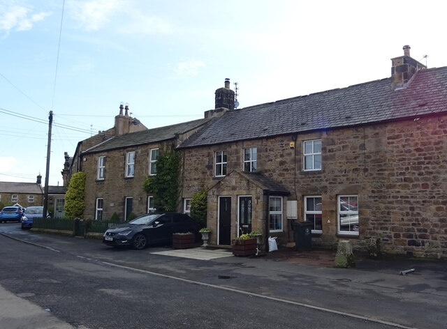
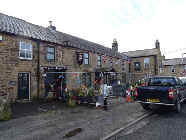
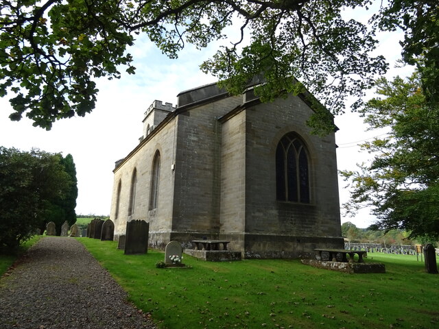
Carry House Woods Images
Images are sourced within 2km of 55.104545/-2.2259282 or Grid Reference NY8578. Thanks to Geograph Open Source API. All images are credited.


Carry House Woods is located at Grid Ref: NY8578 (Lat: 55.104545, Lng: -2.2259282)
Unitary Authority: Northumberland
Police Authority: Northumbria
What 3 Words
///tycoons.roadshow.voltages. Near Birtley, Northumberland
Nearby Locations
Related Wikis

Wark on Tyne
Wark on Tyne is a small village and civil parish in Northumberland, England, 12 miles (19 km) north of Hexham. == History == The name is derived from...

Wark Town Hall
Wark Town Hall is a municipal building on The Green in Wark on Tyne, Northumberland, England. The building, which is used as a community events venue,...

Countess Park railway station
Countess Park railway station served the village of Bellingham, Northumberland, England from 1859 to 1861, during the construction of the Border Counties...
Wark in Tyndale Castle
Wark in Tyndale Castle was a medieval building in the English county of Northumberland (grid reference NY861768). It was first mentioned in 1399–1400,...
Nearby Amenities
Located within 500m of 55.104545,-2.2259282Have you been to Carry House Woods?
Leave your review of Carry House Woods below (or comments, questions and feedback).