Lower Apperley

Settlement in Gloucestershire Tewkesbury

England

Lower Apperley

Grazing and trees near Tirley
Grazing and trees near Tirley Credit: JThomas

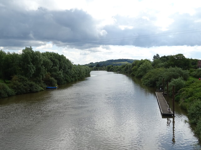
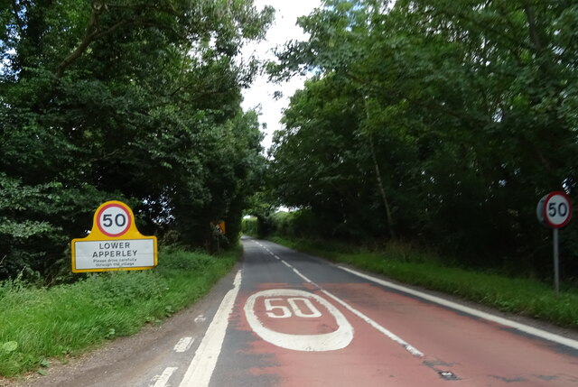
Lower Apperley is a small village located in the county of Gloucestershire, England. Situated on the banks of the River Severn, it lies approximately 9 miles southwest of the city of Gloucester and 6 miles northeast of the town of Tewkesbury. The village is part of the Tewkesbury Borough and falls within the Apperley ward.

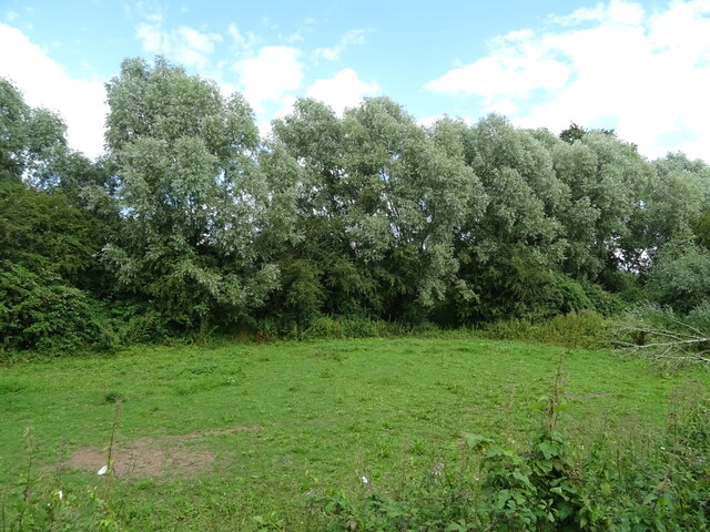
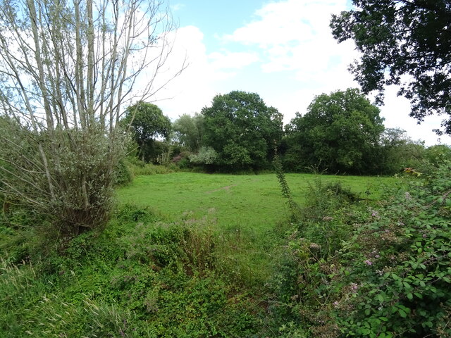
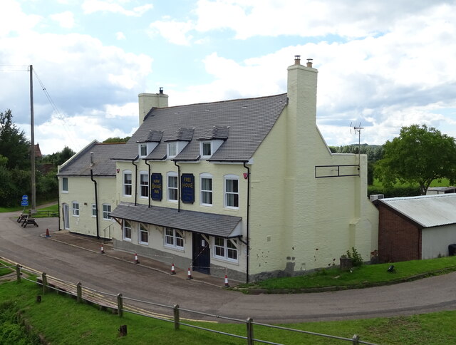
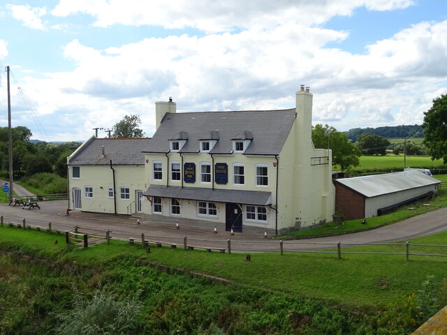
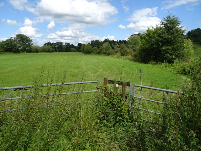
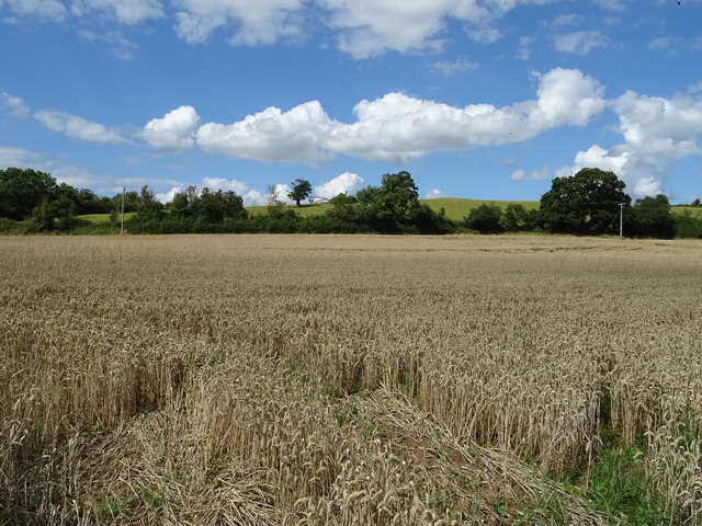
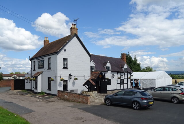
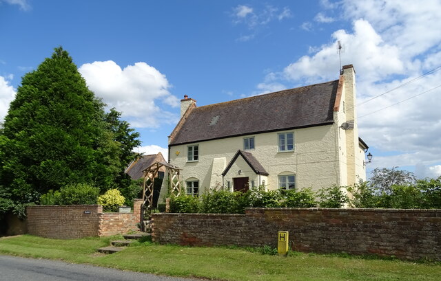
Lower Apperley boasts a picturesque setting, surrounded by rolling green fields and charming countryside. The village is primarily residential, with a mix of traditional cottages and more modern houses. It exudes a peaceful and tranquil atmosphere, making it an attractive place to live for those seeking a rural lifestyle.

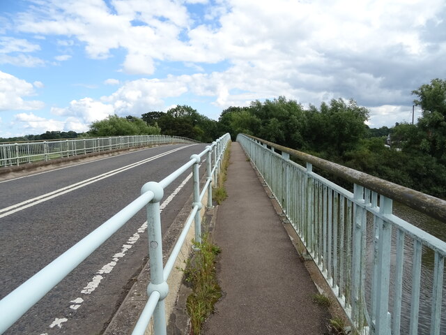
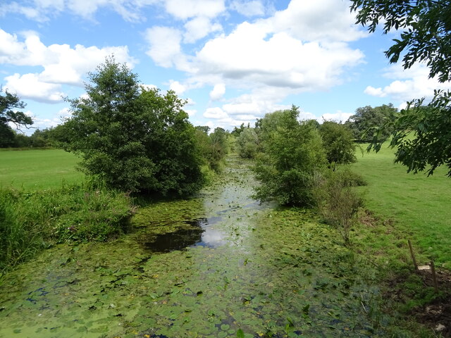
The River Severn, which runs alongside the village, offers recreational opportunities such as fishing and boating. The nearby Apperley Court Farm provides a popular spot for visitors to enjoy walks and explore the natural beauty of the area. The village is also known for its scenic walks along the Severn Way, a long-distance footpath that follows the course of the river.

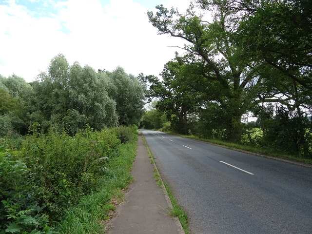
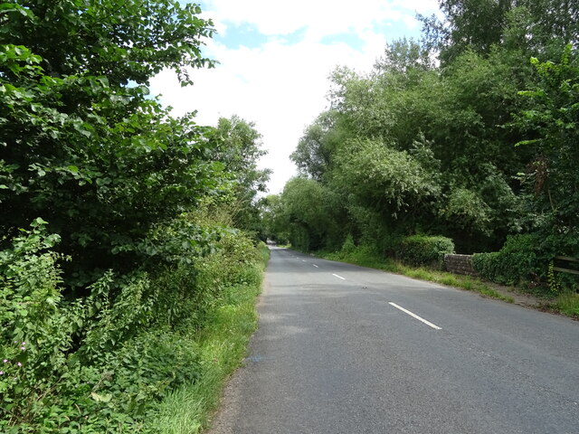
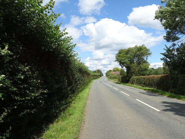
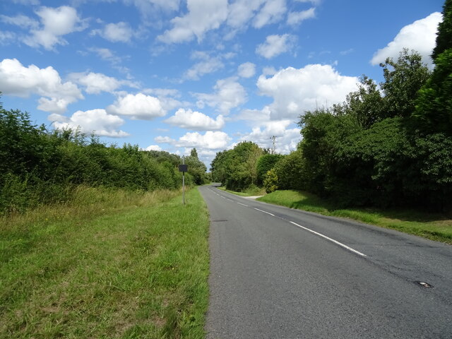
Facilities in Lower Apperley are limited, with no shops or schools within the village itself. However, a range of amenities can be found in the neighboring towns and villages. The village is well-connected, with good road links to Gloucester and Tewkesbury, providing easy access to a wider range of services and employment opportunities.

Overall, Lower Apperley offers a serene and idyllic setting, perfect for those seeking a peaceful rural retreat while still being within reach of nearby towns and cities.

If you have any feedback on the listing, please let us know in the comments section below.

Lower Apperley Images

Images are sourced within 2km of 51.945225/-2.21009 or Grid Reference SO8527. Thanks to Geograph Open Source API. All images are credited.

Grazing and trees near Tirley
B4213 towards Lower Apperley
Grazing towards drain near the River Severn
Old side for the Riverside Inn  The pub has now closed - see <a href="https://www.geograph.org.uk/photo/4976588">SO8427 : The Riverside Inn</a> for happier times.
Old side for the Riverside Inn
The pub has now closed - see SO8427 : The Riverside Inn for happier times.
The Haw Bridge Inn  From Haw Bridge.
The Haw Bridge Inn
From Haw Bridge.
The Haw Bridge Inn  From Haw Bridge.
The Haw Bridge Inn
From Haw Bridge.
On Haw Bridge Crossing the River Severn on the B4213.
On Haw Bridge
Crossing the River Severn on the B4213.
The River Severn View downstream from Haw Bridge.
The River Severn
View downstream from Haw Bridge.
Bridleway off the B4213
B4213 towards Lower Apperley
Handkerchief Pool A narrow pool on the flood plain.
Handkerchief Pool
A narrow pool on the flood plain.
Entering Lower Apperley On the B4213.
Entering Lower Apperley
On the B4213.
Cereal crop, Lower Apperley
B4213, Lower Apperley Towards the A38.
B4213, Lower Apperley
Towards the A38.
The Farmers Arms, Apperley  On the B4213.
The Farmers Arms, Apperley
On the B4213.
Sign for the Farmers Arms, Apperley
House on the B4213, Apperley
B4213, Apperley Towards the A38.
B4213, Apperley
Towards the A38.
Show me another place!

Lower Apperley is located at Grid Ref: SO8527 (Lat: 51.945225, Lng: -2.21009)

Administrative County: Gloucestershire

District: Tewkesbury

Police Authority: Gloucestershire

What 3 Words

///unless.supply.highlighted. Near Tewkesbury, Gloucestershire

Related Wikis

Apperley

Apperley is a village in Gloucestershire, England, about 3 miles (5 km) southwest of Tewkesbury, 1 mile (1.6 km) south of Deerhurst and 1⁄3 mile (0.5 km...

River Chelt

The River Chelt is a tributary of England's largest river, the Severn. The Chelt flows through the western edge of the Cotswolds and the town of Cheltenham...

Leigh, Gloucestershire

Leigh is a village and civil parish in the district of Tewkesbury, in the county of Gloucestershire, England. As of 2019, it has a population of 325....

Wainlode Cliff

Wainlode Cliff (grid reference SO845257) is a 1.3 hectare geological Site of Special Scientific Interest in Gloucestershire, notified in 1954. It overlooks...

Nearby Amenities

Located within 500m of 51.945225,-2.21009
Lower Apperley
Is In: Gloucestershire, England, UK
Place: hamlet
Postal Code: GL19 4
Lat/Long: 51.9444889/-2.2045146
Barrier: cattle_grid
Lat/Long: 51.9457548/-2.2154031
Post Box
Post Box Type: lamp
Royal Cypher: EIIR
Lat/Long: 51.9452594/-2.2101517
Grey Hill
Created By: Potlatch 0.10f
Natural: peak
Source: NPE
Lat/Long: 51.943659/-2.2150772
Apperley Court
Created By: Potlatch 0.10f
Historic: manor
Lat/Long: 51.9481032/-2.2102707
Bus Stop
School Road Junction
Bus: yes
Naptan AtcoCode: 1600GL9065
Naptan Bearing: NE
Naptan CommonName: School Road Junction
Naptan Indicator: after
Naptan NaptanCode: glodgpgt
Naptan Street: School Road
Naptan Verified: no
Public Transport: platform
Source: naptan_import
Lat/Long: 51.945317/-2.2100429
Bus Stop
School Road Junction
Bus: yes
Naptan AtcoCode: 1600GL9066
Naptan Bearing: SW
Naptan CommonName: School Road Junction
Naptan Indicator: before
Naptan NaptanCode: glodgpjp
Naptan Street: School Road
Naptan Verified: no
Public Transport: platform
Source: naptan_import
Lat/Long: 51.9453641/-2.2098227
Bus Stop
Wainlode Lane
Bus: yes
Naptan AtcoCode: 1600GLT129
Naptan Bearing: E
Naptan CommonName: Wainlode Lane
Naptan Indicator: opp
Naptan NaptanCode: glodgjmp
Naptan Street: B4213
Naptan Verified: no
Public Transport: platform
Source: naptan_import
Lat/Long: 51.945808/-2.2148996
Bus Stop
Wainlode Lane
Bus: yes
Naptan AtcoCode: 1600GLT130
Naptan Bearing: W
Naptan CommonName: Wainlode Lane
Naptan Indicator: by
Naptan NaptanCode: glodgjpj
Naptan Street: B4213
Naptan Verified: no
Public Transport: platform
Source: naptan_import
Lat/Long: 51.9456514/-2.2147798
Power: pole
Lat/Long: 51.9442765/-2.2030203
Power: pole
Lat/Long: 51.9449676/-2.2032496
Power: pole
Lat/Long: 51.9422717/-2.2143862
Power: pole
Lat/Long: 51.9426834/-2.2134554
Power: pole
Lat/Long: 51.9430769/-2.2125381
Power: pole
Lat/Long: 51.943539/-2.2114773
Power: pole
Lat/Long: 51.9439838/-2.2104473
Power: pole
Lat/Long: 51.9443765/-2.2095428
Power: pole
Lat/Long: 51.9448266/-2.2085302
Cooks Green
Power: pole
Transformer: distribution
Voltage Primary: 11000
Lat/Long: 51.9450101/-2.206882
Apperley Greenhouses
Power: pole
Transformer: distribution
Voltage Primary: 11000
Lat/Long: 51.9459827/-2.2089466
Power: pole
Lat/Long: 51.9453892/-2.2081822
Power: pole
Lat/Long: 51.9451271/-2.2078027
Power: pole
Lat/Long: 51.9454958/-2.2069712
Power: pole
Lat/Long: 51.9458232/-2.2062027
Power: pole
Lat/Long: 51.9457661/-2.2053981
Power: pole
Lat/Long: 51.9457265/-2.2045894
Apperley Court
Power: pole
Transformer: distribution
Voltage Primary: 11000
Lat/Long: 51.9472901/-2.2096279
Power: pole
Lat/Long: 51.9473855/-2.2087488
Apperley Court East
Power: pole
Transformer: distribution
Voltage Primary: 11000
Lat/Long: 51.9474711/-2.2078201
Power: pole
Lat/Long: 51.9475075/-2.2067452
Power: pole
Lat/Long: 51.9475488/-2.205677
Power: pole
Lat/Long: 51.9474719/-2.2048979
Apperley School
Power: pole
Transformer: distribution
Voltage Primary: 11000
Lat/Long: 51.9473901/-2.2039738
Power: pole
Lat/Long: 51.9467122/-2.2038183
Power: pole
Lat/Long: 51.9456388/-2.2034702
Power: pole
Lat/Long: 51.9456099/-2.2030686
The data included in this document is from www.openstreetmap.org. The data is made available under ODbL.

Have you been to Lower Apperley?

Leave your review of Lower Apperley below (or comments, questions and feedback).