Cook's Green

Wood, Forest in Gloucestershire Tewkesbury

England

Cook's Green

Meadowland below Apperley Meadowland beside the River Severn near Apperley.
Meadowland below Apperley Credit: Philip Halling

Cook's Green is a picturesque village located in the Wood district of Gloucestershire, England. Nestled within the enchanting Forest of Dean, Cook's Green is renowned for its lush green landscapes and tranquil surroundings. The village is situated approximately 5 miles southwest of the town of Lydney.

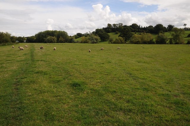
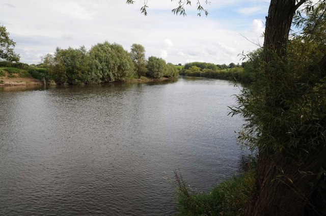
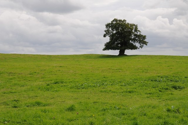
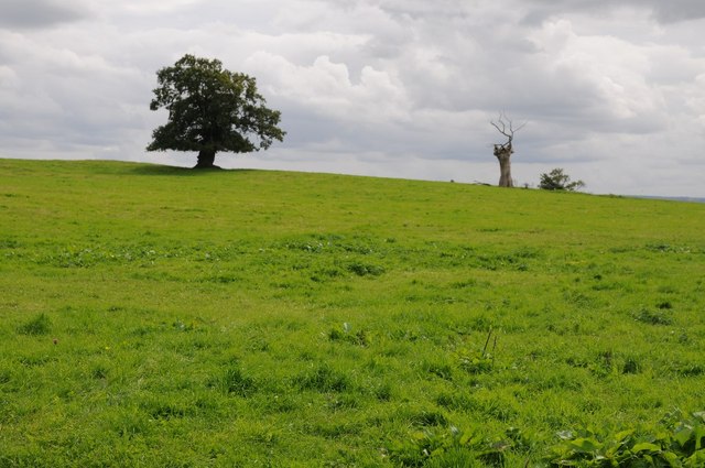
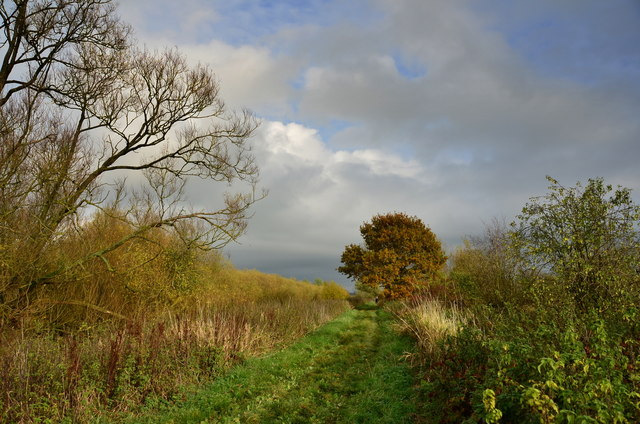
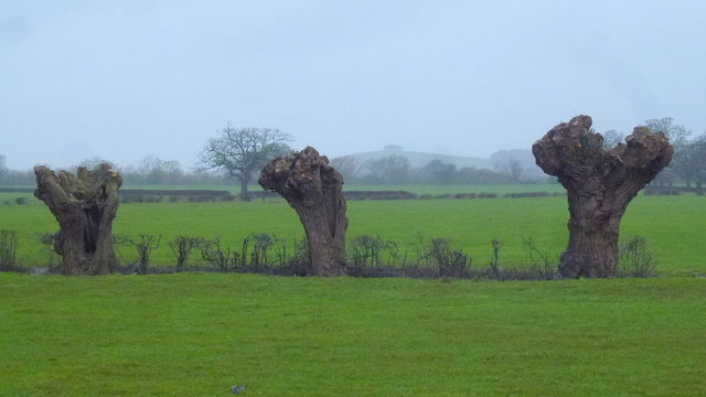
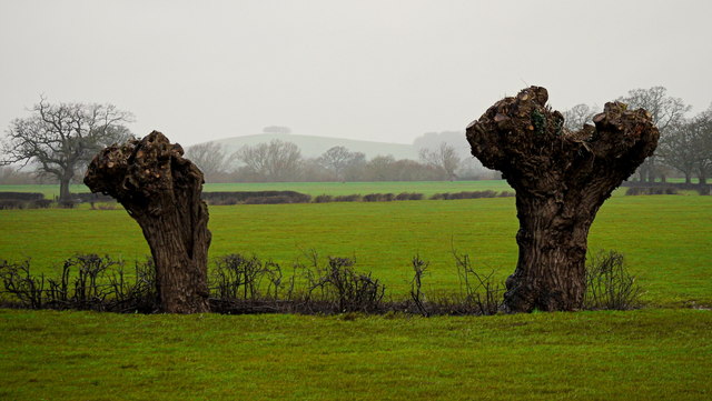
The area is abundant in natural beauty, with dense woodlands and rolling hills that offer breathtaking views. The Forest of Dean, a designated Area of Outstanding Natural Beauty, is a major attraction for visitors and residents alike. It provides ample opportunities for outdoor activities such as walking, cycling, and birdwatching.

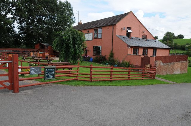
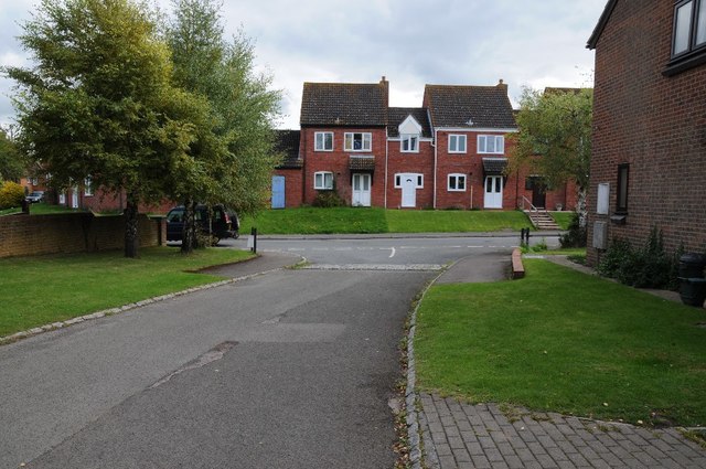
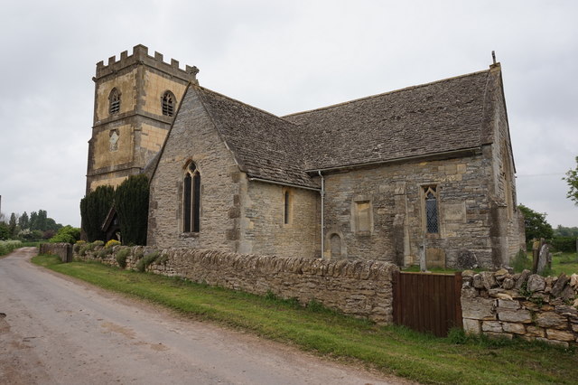
Cook's Green itself is a small, tight-knit community with a population of around 200 residents. The village is characterized by charming cottages, some of which date back centuries, showcasing the traditional architectural style of the region. The village center features a quaint local pub, which serves as a social hub for both locals and visitors.

The village offers a peaceful and idyllic lifestyle, away from the hustle and bustle of larger towns and cities. Its close proximity to the Forest of Dean ensures residents have easy access to its amenities, including nature trails, picnic spots, and wildlife spotting opportunities. Additionally, the nearby town of Lydney provides essential services such as shops, schools, and healthcare facilities.

Overall, Cook's Green is a hidden gem in Gloucestershire's Wood district, offering residents and visitors a chance to immerse themselves in the beauty of nature and experience a truly tranquil way of life.

If you have any feedback on the listing, please let us know in the comments section below.
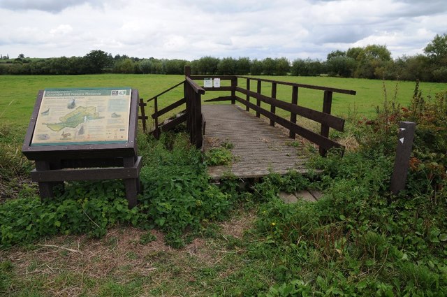
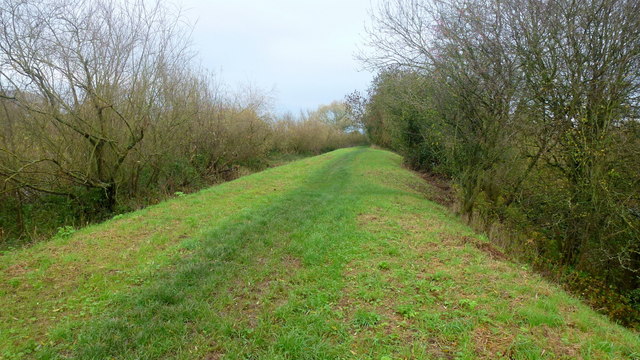
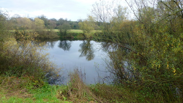
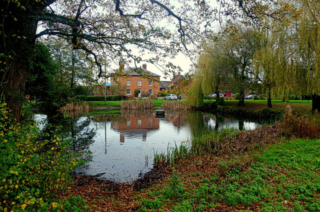
Cook's Green Images

Images are sourced within 2km of 51.943971/-2.2074801 or Grid Reference SO8527. Thanks to Geograph Open Source API. All images are credited.

Meadowland below Apperley Meadowland beside the River Severn near Apperley.
Meadowland below Apperley
Meadowland beside the River Severn near Apperley.
The Coal House Inn The Coal House Inn overlooking the River Severn near Apperley.
The Coal House Inn
The Coal House Inn overlooking the River Severn near Apperley.
Cattle grid on Gabb Lane Cattle grid on Gabb Lane, a no through road giving access to the Coal House Inn, a caravan park and the River Severn below the village of Apperley.
Cattle grid on Gabb Lane
Cattle grid on Gabb Lane, a no through road giving access to the Coal House Inn, a caravan park and the River Severn below the village of Apperley.
The River Severn, Apperley The River Severn downstream of the Coal House Inn near Apperley.
The River Severn, Apperley
The River Severn downstream of the Coal House Inn near Apperley.
Tree on Willow Hill Oak tree on Willow Hill in Lower Apperley.
Tree on Willow Hill
Oak tree on Willow Hill in Lower Apperley.
Trees in a field An oak tree and a dead tree in a field at Lower Apperley.
Trees in a field
An oak tree and a dead tree in a field at Lower Apperley.
Modern houses in Apperley Modern houses built in the late 1980s in the village of Apperley.
Modern houses in Apperley
Modern houses built in the late 1980s in the village of Apperley.
Names on Apperley War Memorial Names of the fallen from the First World War on Apperley War Memorial.
Names on Apperley War Memorial
Names of the fallen from the First World War on Apperley War Memorial.
Coombe Hill Nature Reserve The Gloucestershire Wildlife Trust Coombe Hill Nature Reserve viewed from the old tow path of the former Coombe Hill Canal.
Coombe Hill Nature Reserve
The Gloucestershire Wildlife Trust Coombe Hill Nature Reserve viewed from the old tow path of the former Coombe Hill Canal.
Coombe Hill Canal towpath The old towpath of the former Coombe Hill Canal.
Coombe Hill Canal towpath
The old towpath of the former Coombe Hill Canal.
The Severn Way Follows the east bank here heading north towards Tewkesbury.
The river itself can be glimpsed through the vegetation on the left.
The Severn Way
Follows the east bank here heading north towards Tewkesbury. The river itself can be glimpsed through the vegetation on the left.
Fishing pool by the Severn Viewed from the river bank path at <a href="https://www.geograph.org.uk/photo/4744605">SO8529 : The Severn Way</a>.
Fishing pool by the Severn
Viewed from the river bank path at SO8529 : The Severn Way.
Apperley pond; late autumn A few mallards call this place home. A tiny hint of brightness on an otherwise dull wet November afternoon.
Apperley pond; late autumn
A few mallards call this place home. A tiny hint of brightness on an otherwise dull wet November afternoon.
Coombe Hill Nature Reserve Coombe Hill Nature Reserve along canal side path.
Coombe Hill Nature Reserve
Coombe Hill Nature Reserve along canal side path.
Three Willows, 2016 Photo taken nearly two years after <a href="https://www.geograph.org.uk/photo/3872143">SO8426 : Three Willows</a> showing the effect of pollarding, ie reduction of all growth back to the main trunk.
Barrow Hill can be seen, as ever.
Three Willows, 2016
Photo taken nearly two years after SO8426 : Three Willows showing the effect of pollarding, ie reduction of all growth back to the main trunk. Barrow Hill can be seen, as ever.
Two out of three Telephoto showing Barrow Hill between the pollarded willows in <a href="https://www.geograph.org.uk/photo/4806207">SO8426 : Three Willows, 2016</a>.
Two out of three
Telephoto showing Barrow Hill between the pollarded willows in SO8426 : Three Willows, 2016.
Green pasture in January Same scene as <a href="https://www.geograph.org.uk/photo/3338617">SO8527 : Gate onto the watermeadows</a> taken nearly three years later.
Barrow Hill in the distance.
Green pasture in January
Same scene as SO8527 : Gate onto the watermeadows taken nearly three years later. Barrow Hill in the distance.
Saint Catherine's, The Leigh
Show me another place!

Cook's Green is located at Grid Ref: SO8527 (Lat: 51.943971, Lng: -2.2074801)

Administrative County: Gloucestershire

District: Tewkesbury

Police Authority: Gloucestershire

What 3 Words

///rots.enlarge.workroom. Near Tewkesbury, Gloucestershire

Related Wikis

Apperley

Apperley is a village in Gloucestershire, England, about 3 miles (5 km) southwest of Tewkesbury, 1 mile (1.6 km) south of Deerhurst and 1⁄3 mile (0.5 km...

River Chelt

The River Chelt is a tributary of England's largest river, the Severn. The Chelt flows through the western edge of the Cotswolds and the town of Cheltenham...

Leigh, Gloucestershire

Leigh is a village and civil parish in the district of Tewkesbury, in the county of Gloucestershire, England. As of 2019, it has a population of 325....

Wainlode Cliff

Wainlode Cliff (grid reference SO845257) is a 1.3 hectare geological Site of Special Scientific Interest in Gloucestershire, notified in 1954. It overlooks...

Deerhurst

Deerhurst is a village and civil parish in Gloucestershire, England, about 2 miles (3 km) southwest of Tewkesbury. The village is on the east bank of the...

Tirley

Tirley is a village and civil parish in Gloucestershire, England. It is located in the Borough of Tewkesbury district, 4 mi (6 km) south-west of Tewkesbury...

Ashleworth Ham

Ashleworth Ham (grid reference SO833263) is a 104.73-hectare (258.8-acre) biological Site of Special Scientific Interest. It is a large area of grassland...

Odda's Chapel

Odda's Chapel is a former chantry chapel at Deerhurst, Gloucestershire. It is an 11th-century late Anglo-Saxon building, completed a decade before the...

Nearby Amenities

Located within 500m of 51.943971,-2.2074801
Lower Apperley
Is In: Gloucestershire, England, UK
Place: hamlet
Postal Code: GL19 4
Lat/Long: 51.9444889/-2.2045146
Post Box
Post Box Type: lamp
Royal Cypher: EIIR
Lat/Long: 51.9452594/-2.2101517
Apperley Court
Created By: Potlatch 0.10f
Historic: manor
Lat/Long: 51.9481032/-2.2102707
Bus Stop
School Road Junction
Bus: yes
Naptan AtcoCode: 1600GL9065
Naptan Bearing: NE
Naptan CommonName: School Road Junction
Naptan Indicator: after
Naptan NaptanCode: glodgpgt
Naptan Street: School Road
Naptan Verified: no
Public Transport: platform
Source: naptan_import
Lat/Long: 51.945317/-2.2100429
Bus Stop
School Road Junction
Bus: yes
Naptan AtcoCode: 1600GL9066
Naptan Bearing: SW
Naptan CommonName: School Road Junction
Naptan Indicator: before
Naptan NaptanCode: glodgpjp
Naptan Street: School Road
Naptan Verified: no
Public Transport: platform
Source: naptan_import
Lat/Long: 51.9453641/-2.2098227
Bus Stop
Apperley Hall Farm
Naptan AtcoCode: 1600GL9137
Naptan Bearing: E
Naptan CommonName: Apperley Hall Farm
Naptan Indicator: Opp
Naptan NaptanCode: glodjagm
Naptan Street: B4213
Naptan Verified: no
Source: naptan_import
Lat/Long: 51.9442815/-2.2024274
Bus Stop
Apperley Hall Farm
Naptan AtcoCode: 1600GL9138
Naptan Bearing: W
Naptan CommonName: Apperley Hall Farm
Naptan NaptanCode: glodjajt
Naptan Street: B4213
Naptan Verified: no
Source: naptan_import
Lat/Long: 51.9442368/-2.2022816
Power: pole
Lat/Long: 51.9415971/-2.2023538
Lower Apperley Sewage Pump
Power: pole
Transformer: distribution
Voltage Primary: 11000
Lat/Long: 51.9424647/-2.202569
Power: pole
Lat/Long: 51.9432704/-2.2027675
Lower Apperley
Power: pole
Transformer: distribution
Voltage Primary: 11000
Lat/Long: 51.9440764/-2.2029653
Power: pole
Lat/Long: 51.9442765/-2.2030203
Power: pole
Lat/Long: 51.9449676/-2.2032496
Power: pole
Lat/Long: 51.9426834/-2.2134554
Power: pole
Lat/Long: 51.9430769/-2.2125381
Power: pole
Lat/Long: 51.943539/-2.2114773
Power: pole
Lat/Long: 51.9439838/-2.2104473
Power: pole
Lat/Long: 51.9443765/-2.2095428
Power: pole
Lat/Long: 51.9448266/-2.2085302
Cooks Green
Power: pole
Transformer: distribution
Voltage Primary: 11000
Lat/Long: 51.9450101/-2.206882
Apperley Greenhouses
Power: pole
Transformer: distribution
Voltage Primary: 11000
Lat/Long: 51.9459827/-2.2089466
Power: pole
Lat/Long: 51.9453892/-2.2081822
Power: pole
Lat/Long: 51.9451271/-2.2078027
Power: pole
Lat/Long: 51.9454958/-2.2069712
Power: pole
Lat/Long: 51.9458232/-2.2062027
Power: pole
Lat/Long: 51.9457661/-2.2053981
Power: pole
Lat/Long: 51.9457265/-2.2045894
Apperley Court
Power: pole
Transformer: distribution
Voltage Primary: 11000
Lat/Long: 51.9472901/-2.2096279
Power: pole
Lat/Long: 51.9473855/-2.2087488
Apperley Court East
Power: pole
Transformer: distribution
Voltage Primary: 11000
Lat/Long: 51.9474711/-2.2078201
Power: pole
Lat/Long: 51.9475075/-2.2067452
Power: pole
Lat/Long: 51.9475488/-2.205677
Power: pole
Lat/Long: 51.9474719/-2.2048979
Apperley School
Power: pole
Transformer: distribution
Voltage Primary: 11000
Lat/Long: 51.9473901/-2.2039738
Power: pole
Lat/Long: 51.9467122/-2.2038183
Power: pole
Lat/Long: 51.9456388/-2.2034702
Power: pole
Lat/Long: 51.9456099/-2.2030686
Power: pole
Lat/Long: 51.946034/-2.2018965
The data included in this document is from www.openstreetmap.org. The data is made available under ODbL.

Have you been to Cook's Green?

Leave your review of Cook's Green below (or comments, questions and feedback).