Whin Hill
Hill, Mountain in Yorkshire Pendle
England
Whin Hill
Whin Hill is a prominent hill located in the county of Yorkshire, England. Situated in the northern part of the county, it forms part of the beautiful Yorkshire Dales National Park. With an elevation of approximately 500 meters above sea level, it offers breathtaking panoramic views of the surrounding countryside.
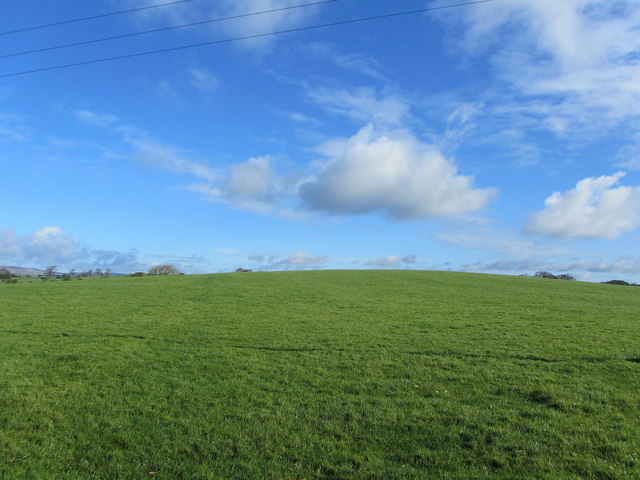
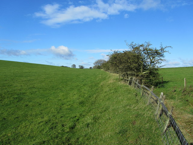
Covered in lush greenery, Whin Hill is renowned for its picturesque landscape and natural beauty. The hill is primarily composed of limestone, which contributes to its unique geological features and supports a diverse range of plant and animal life. The vegetation on the hillside includes a mix of grasses, heather, and wildflowers, creating a vibrant and colorful display during the warmer months.
Whin Hill attracts outdoor enthusiasts and nature lovers from near and far, offering a variety of recreational activities. Hiking and walking trails crisscross the hill, providing opportunities for visitors to explore its scenic surroundings. The summit of Whin Hill offers a vantage point to admire the expansive views of the Yorkshire Dales and the rolling hills beyond.
The hill is also home to several species of birds, including peregrine falcons, kestrels, and red kites. Birdwatchers can often be found on Whin Hill, spotting and observing these majestic creatures in their natural habitat.
For those seeking a peaceful retreat, Whin Hill offers a tranquil environment away from the hustle and bustle of city life. Its serene atmosphere, coupled with its natural beauty, make it a popular destination for both locals and tourists alike. Whether one chooses to hike, birdwatch, or simply enjoy the stunning views, Whin Hill provides a truly unforgettable experience in the heart of Yorkshire.
If you have any feedback on the listing, please let us know in the comments section below.
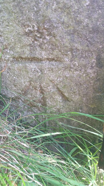
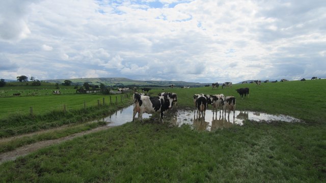
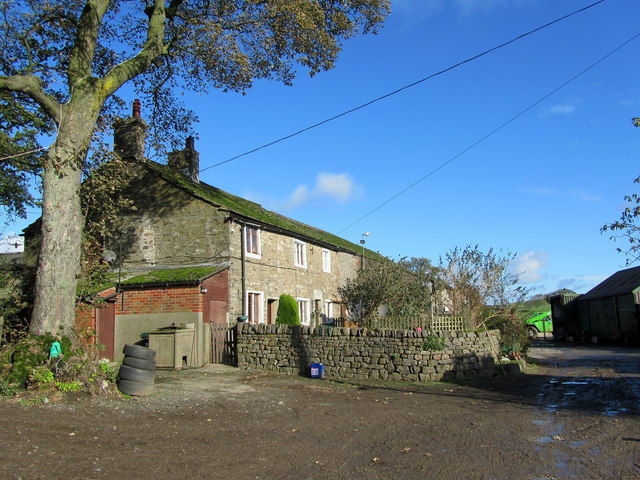
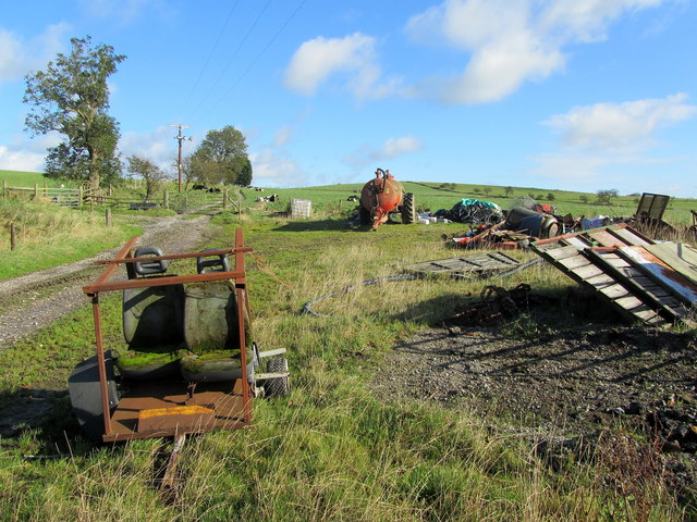
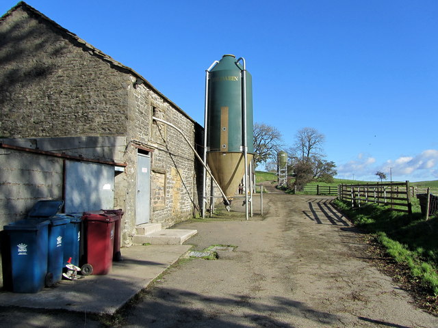
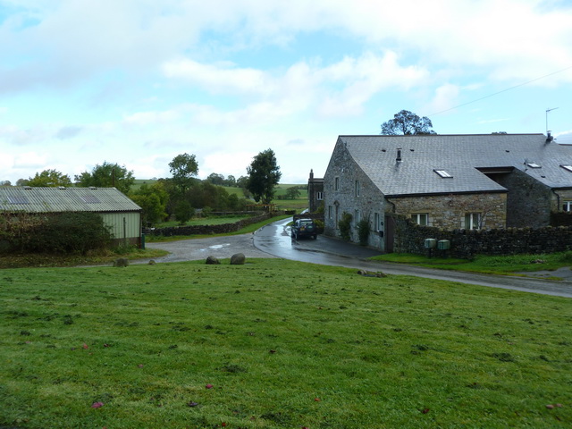
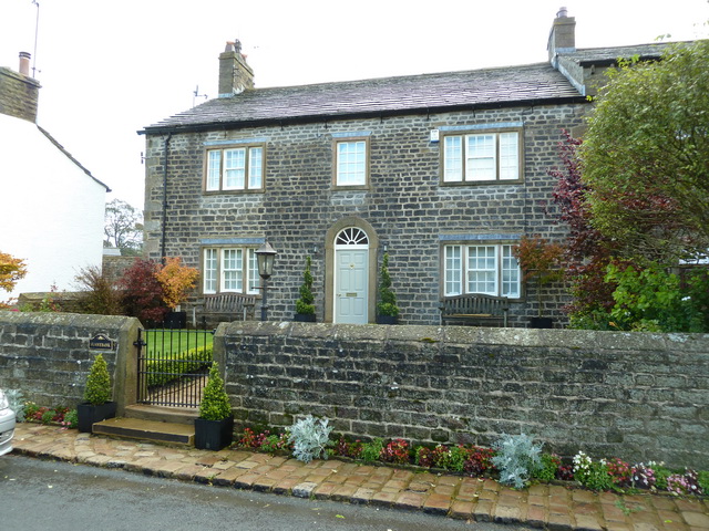
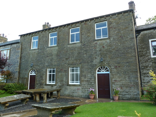
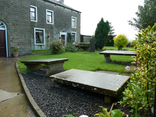
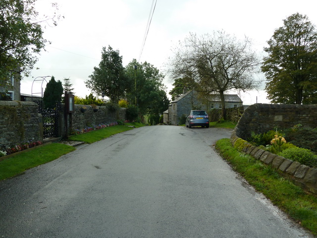
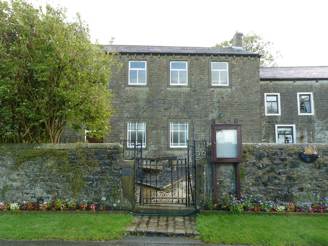
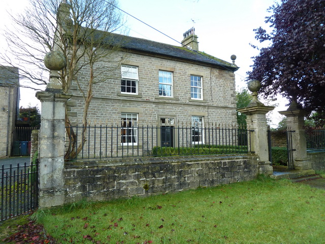
Whin Hill Images
Images are sourced within 2km of 53.939788/-2.226756 or Grid Reference SD8549. Thanks to Geograph Open Source API. All images are credited.


Whin Hill is located at Grid Ref: SD8549 (Lat: 53.939788, Lng: -2.226756)
Division: West Riding
Administrative County: Lancashire
District: Pendle
Police Authority: Lancashire
What 3 Words
///delays.simulations.season. Near Barnoldswick, Lancashire
Nearby Locations
Related Wikis

A59 road
The A59 is a major road in England which is around 109 miles (175 km) long and runs from Wallasey, Merseyside to York, North Yorkshire. The alignment formed...

Horton, Lancashire
Horton, historically known as Horton-in-Craven, is a village and a civil parish in the Ribble Valley district of the English county of Lancashire (historically...

Bracewell and Brogden
Bracewell and Brogden is a civil parish in the West Craven area of the Borough of Pendle in Lancashire, England. According to the 2001 census it had a...

St Michael's Church, Bracewell
St Michael's Church is in Bracewell Lane, Bracewell, Lancashire, England. It is an active Anglican parish church in the deanery of Skipton, the archdeaconry...

Gisburn Tunnel
Gisburn Tunnel is a short railway tunnel on the Ribble Valley line in Lancashire, England. The tunnel is 157 yards (144 m) long, just to the east of Gisburn...

Newsholme, Lancashire
Newsholme is a small village and civil parish in the Ribble Valley, Lancashire, England, but lies within the historic West Riding of Yorkshire. According...

Newsholme railway station
Newsholme railway station was a railway station that served the small village of Newsholme in Lancashire. It was built by the Lancashire and Yorkshire...

Gisburne Park
Gisburne Park is an 18th-century country house and associated park in Gisburn, Lancashire, England, in the Ribble Valley some 6 miles (10 km) north-east...
Nearby Amenities
Located within 500m of 53.939788,-2.226756Have you been to Whin Hill?
Leave your review of Whin Hill below (or comments, questions and feedback).