Gutteridge Plantation

Wood, Forest in Yorkshire Pendle

England

Gutteridge Plantation

Ordnance Survey Cut Mark This mark can be found on a field gatepost beside knot Lane at White Hill.
The benchmark has a recorded height of 153.6954 metres above sea level.
For more detail see : <span class="nowrap"><a title="https://www.bench-marks.org.uk/bm121976" rel="nofollow ugc noopener" href="https://www.bench-marks.org.uk/bm121976">Link</a><img style="margin-left:2px;" alt="External link" title="External link - shift click to open in new window" src="https://s1.geograph.org.uk/img/external.png" width="10" height="10"/></span>
Ordnance Survey Cut Mark Credit: Peter Wood

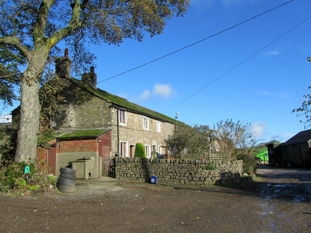
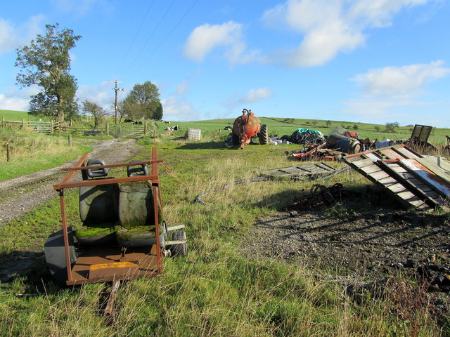
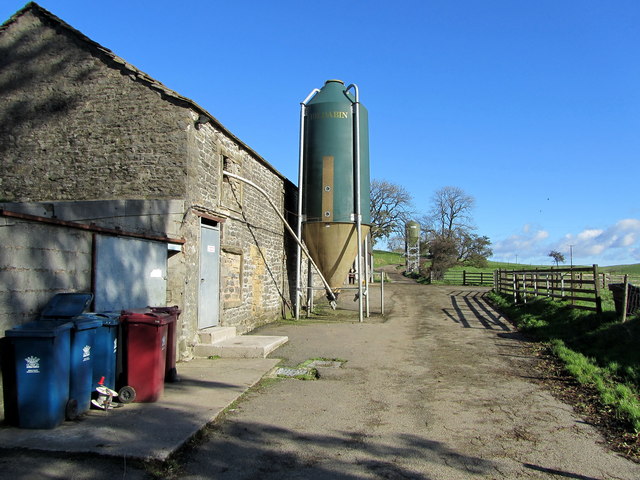
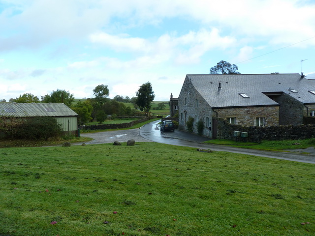
Gutteridge Plantation is a picturesque woodland area located in the Yorkshire region of England. Situated in the heart of the county, it covers a vast expanse of land, encompassing dense forests and lush greenery. The plantation is renowned for its natural beauty and is a popular destination for nature enthusiasts and outdoor enthusiasts alike.

The woodland is home to a diverse range of flora and fauna, making it a haven for wildlife. Ancient oak trees dominate the landscape, their towering branches creating a canopy of shade and providing a habitat for various bird species. The forest floor is adorned with vibrant wildflowers, adding splashes of color to the serene surroundings.

Tranquil walking trails wind their way through the plantation, allowing visitors to explore the area and immerse themselves in its natural splendor. These pathways offer stunning views of the surrounding countryside and provide opportunities for peaceful contemplation or invigorating exercise.

Gutteridge Plantation also holds historical significance, with remnants of an old manor house still visible within its boundaries. The plantation's past can be traced back several centuries, and its rich history adds an extra layer of fascination for those interested in the area's heritage.

Overall, Gutteridge Plantation is a captivating destination that offers a tranquil retreat from the hustle and bustle of everyday life. Its breathtaking scenery, diverse wildlife, and intriguing history make it an ideal spot for nature lovers and history enthusiasts to explore and appreciate.

If you have any feedback on the listing, please let us know in the comments section below.

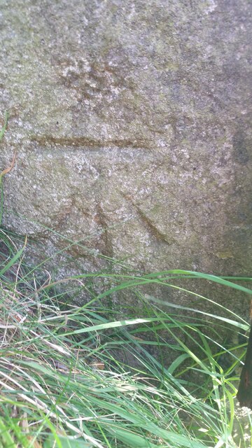
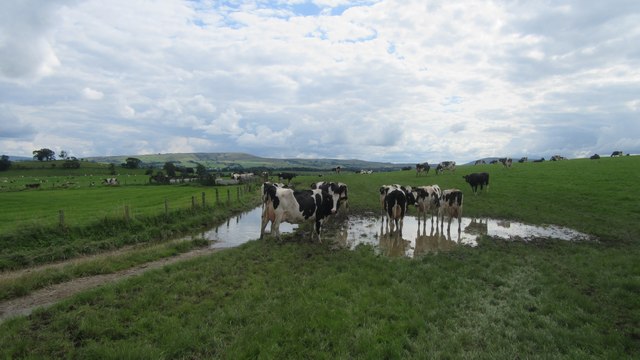
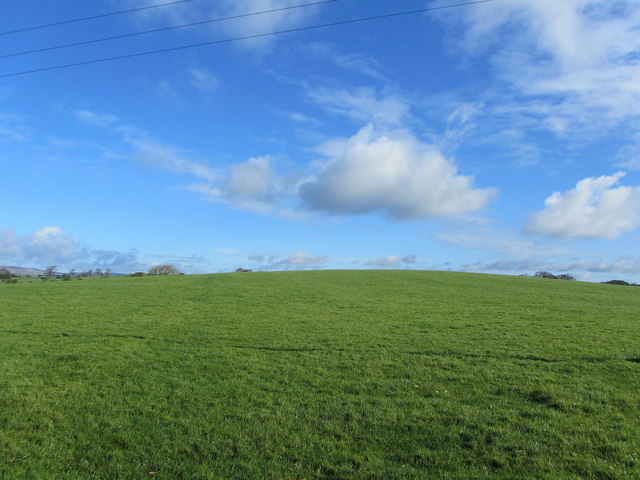
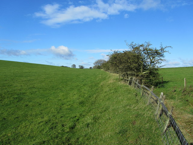
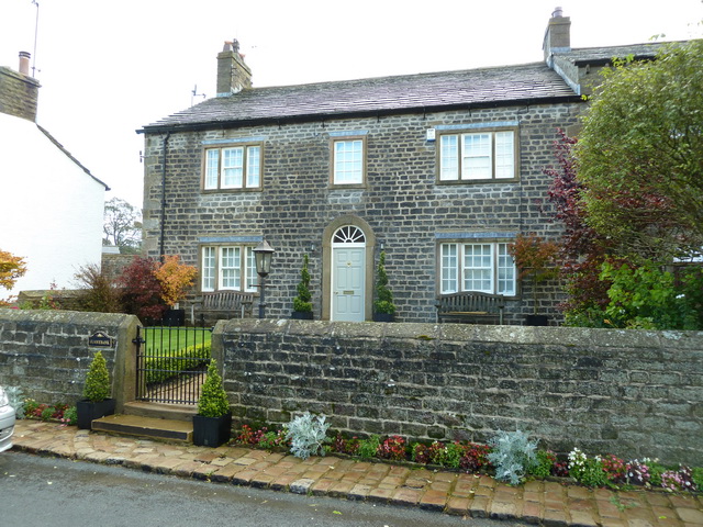
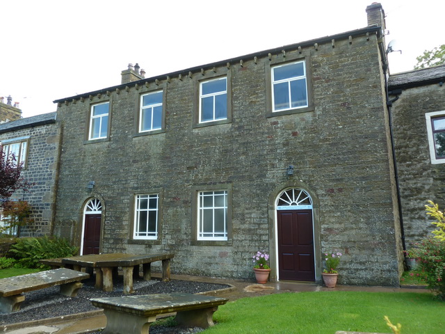
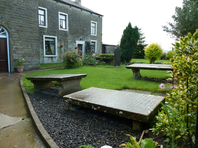
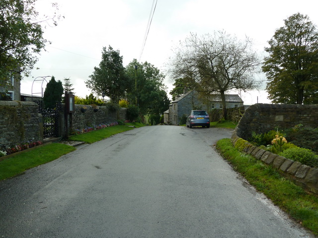
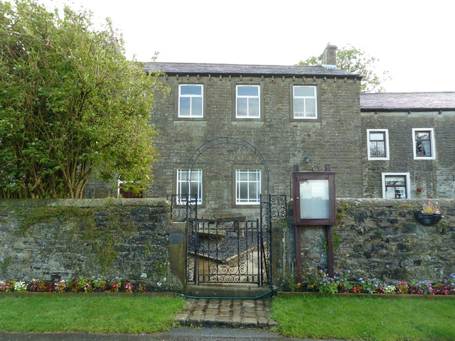
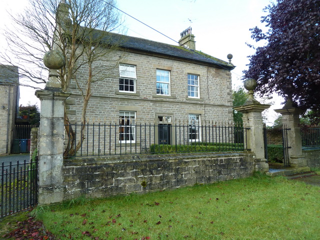
Gutteridge Plantation Images

Images are sourced within 2km of 53.940558/-2.2284206 or Grid Reference SD8549. Thanks to Geograph Open Source API. All images are credited.

Ordnance Survey Cut Mark This mark can be found on a field gatepost beside knot Lane at White Hill.
The benchmark has a recorded height of 153.6954 metres above sea level.
For more detail see : <span class="nowrap"><a title="https://www.bench-marks.org.uk/bm121976" rel="nofollow ugc noopener" href="https://www.bench-marks.org.uk/bm121976">Link</a><img style="margin-left:2px;" alt="External link" title="External link - shift click to open in new window" src="https://s1.geograph.org.uk/img/external.png" width="10" height="10"/></span>
Ordnance Survey Cut Mark
This mark can be found on a field gatepost beside knot Lane at White Hill. The benchmark has a recorded height of 153.6954 metres above sea level. For more detail see : LinkExternal link
Cows on Bridleway / footpath junction Looking South back towards footpath / bridleway junction near Horton
Cows on Bridleway / footpath junction
Looking South back towards footpath / bridleway junction near Horton
Horton bridge The benchmark is cut into the eastern parapet of the bridge.
Horton bridge
The benchmark is cut into the eastern parapet of the bridge.
Horton bridge There is a benchmark cut into the eastern parapet of the bridge. It is located to the right of the small concrete support seen in the centre of the picture.
Horton bridge
There is a benchmark cut into the eastern parapet of the bridge. It is located to the right of the small concrete support seen in the centre of the picture.
Gutteridge Farm
Gutteridge Farm
Fields East of Gisburn
White Hill Small drumlin off Knot Lane
White Hill
Small drumlin off Knot Lane
Boundary Fence between White and Hoober Hill Fence follows the saddle between the two drumlins of White Hill and Hoober Hill
Boundary Fence between White and Hoober Hill
Fence follows the saddle between the two drumlins of White Hill and Hoober Hill
Hoober Farmhouse at the foot of Hoober Hill
Hoober
Farmhouse at the foot of Hoober Hill
Unofficial Dump by Hoober Plantation Rather unsightly refuse encountered on a country walk
Unofficial Dump by Hoober Plantation
Rather unsightly refuse encountered on a country walk
Yorsdale Outbuildings attached to Lower Paradise Farm
Yorsdale
Outbuildings attached to Lower Paradise Farm
Sunnybank, Horton
Sunnybank, Horton
Higher Paradise Congregational Chapel, Horton
Higher Paradise Congregational Chapel, Horton, Graveyard
Green Lane, Horton
Green Lane, Horton
Higher Paradise Congregational Chapel, Horton
Horton House, Horton
Show me another place!

Gutteridge Plantation is located at Grid Ref: SD8549 (Lat: 53.940558, Lng: -2.2284206)

Division: West Riding

Administrative County: Lancashire

District: Pendle

Police Authority: Lancashire

What 3 Words

///built.grills.sometimes. Near Barnoldswick, Lancashire

Related Wikis

A59 road

The A59 is a major road in England which is around 109 miles (175 km) long and runs from Wallasey, Merseyside to York, North Yorkshire. The alignment formed...

Horton, Lancashire

Horton, historically known as Horton-in-Craven, is a village and a civil parish in the Ribble Valley district of the English county of Lancashire (historically...

Bracewell and Brogden

Bracewell and Brogden is a civil parish in the West Craven area of the Borough of Pendle in Lancashire, England. According to the 2001 census it had a...

St Michael's Church, Bracewell

St Michael's Church is in Bracewell Lane, Bracewell, Lancashire, England. It is an active Anglican parish church in the deanery of Skipton, the archdeaconry...

Related Videos

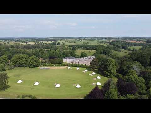
Dandelion Glamping Pod

Get a 360 view of our Glamping pod 'Dandelion', one of our luxury, king size pods on our glamping site.

Daisy Glamping Pod

Daisy is our SUPER-LUXURIOUS glamping pod complete with a glass-covered veranda to enjoy all of the elements in comfort, ...

Buttercup Glamping Pod

Take a sneak peak into Buttercup, one of our luxury, king-size glamping pods. This 3D teaser let's you experience all of the ...

Nearby Amenities

Located within 500m of 53.940558,-2.2284206
Gutteridge
Is In Country Code: GB
Is In County: Lancashire
Is In Historic County: Yorkshire
Is In Municipality: Ribble Valley
Is In Valley: Ribblesdale
Place: village
Source: npe
Lat/Long: 53.9412567/-2.2263146
Whin Hill
Natural: peak
Source: OS 1:25k
Lat/Long: 53.9397372/-2.2266409
The data included in this document is from www.openstreetmap.org. The data is made available under ODbL.

Have you been to Gutteridge Plantation?

Leave your review of Gutteridge Plantation below (or comments, questions and feedback).