Yarlside Hill
Hill, Mountain in Yorkshire Pendle
England
Yarlside Hill
Yarlside Hill is a prominent hill located in the South Lakeland district of Cumbria, England, near the border with North Yorkshire. Although it is often associated with Yorkshire due to its proximity to the county, it is technically situated within the boundaries of Cumbria. Rising to an elevation of 639 meters (2,096 feet), Yarlside Hill is a notable landmark in the region and offers stunning views of the surrounding countryside.
The hill is part of the Howgill Fells, a range of hills and mountains that stretch across the counties of Cumbria and North Yorkshire. Yarlside Hill is known for its distinctive shape, with its steep and craggy slopes making it a challenging climb for hikers and mountaineers. The summit of Yarlside Hill is marked by a cairn, which serves as a navigational point for outdoor enthusiasts.
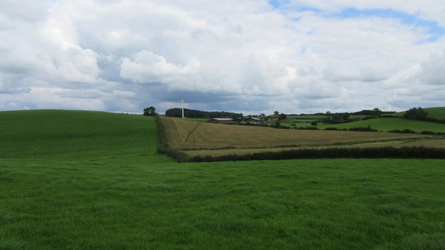
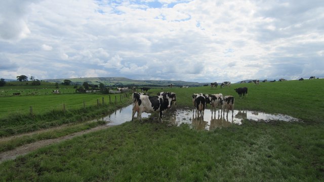
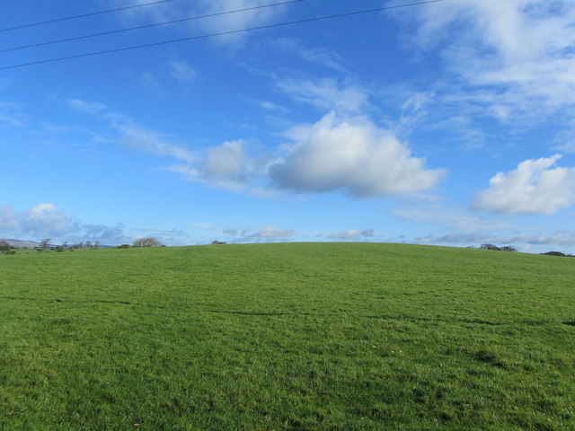
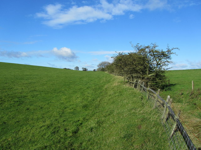
The area surrounding Yarlside Hill is characterized by rugged beauty, with rolling hills, deep valleys, and picturesque landscapes. The hill is situated within the Yorkshire Dales National Park, a protected area known for its outstanding natural beauty and diverse wildlife. Visitors to Yarlside Hill can expect to encounter a range of flora and fauna, including wildflowers, birds, and even the occasional glimpse of larger mammals such as deer.
Yarlside Hill is a popular destination for outdoor activities such as hillwalking, hiking, and photography. Its remote location and challenging terrain make it an ideal spot for those seeking solitude and a true wilderness experience. With its breathtaking vistas and tranquil surroundings, Yarlside Hill is a must-visit for nature enthusiasts and adventurers exploring the Yorkshire Dales region.
If you have any feedback on the listing, please let us know in the comments section below.
Yarlside Hill Images
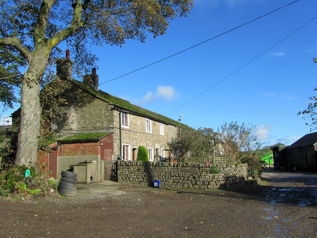
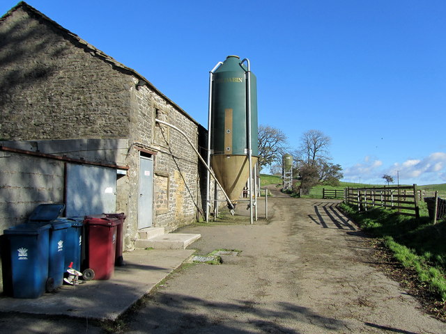
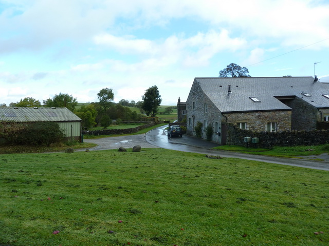
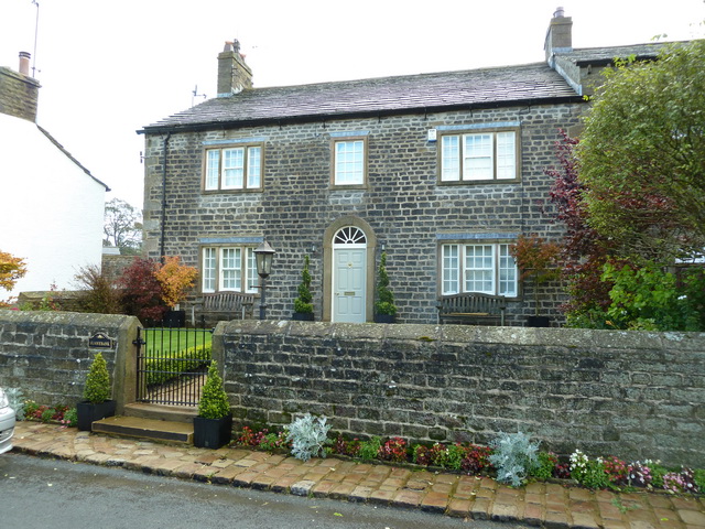
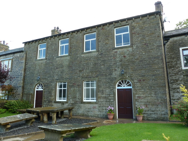
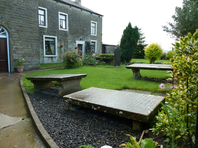
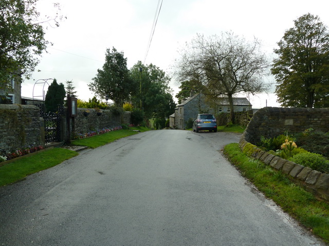
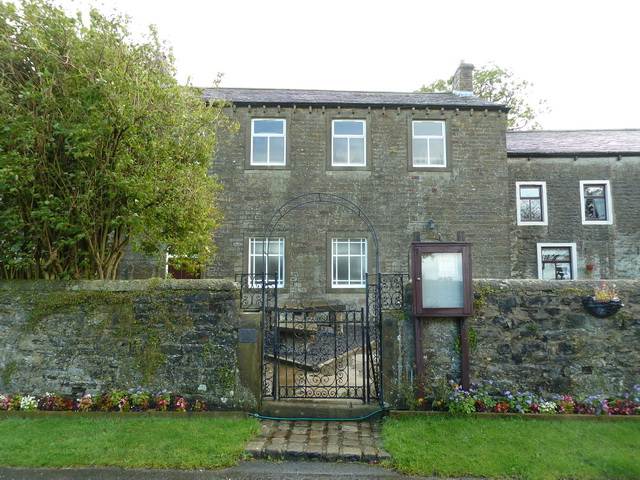
Images are sourced within 2km of 53.939517/-2.2177061 or Grid Reference SD8549. Thanks to Geograph Open Source API. All images are credited.


Yarlside Hill is located at Grid Ref: SD8549 (Lat: 53.939517, Lng: -2.2177061)
Division: West Riding
Administrative County: Lancashire
District: Pendle
Police Authority: Lancashire
What 3 Words
///suggested.shrimps.tensions. Near Barnoldswick, Lancashire
Nearby Locations
Related Wikis

A59 road
The A59 is a major road in England which is around 109 miles (175 km) long and runs from Wallasey, Merseyside to York, North Yorkshire. The alignment formed...

Bracewell and Brogden
Bracewell and Brogden is a civil parish in the West Craven area of the Borough of Pendle in Lancashire, England. According to the 2001 census it had a...

St Michael's Church, Bracewell
St Michael's Church is in Bracewell Lane, Bracewell, Lancashire, England. It is an active Anglican parish church in the deanery of Skipton, the archdeaconry...

Horton, Lancashire
Horton, historically known as Horton-in-Craven, is a village and a civil parish in the Ribble Valley district of the English county of Lancashire (historically...
Nearby Amenities
Located within 500m of 53.939517,-2.2177061Have you been to Yarlside Hill?
Leave your review of Yarlside Hill below (or comments, questions and feedback).