Dockins Hill

Hill, Mountain in Gloucestershire Forest of Dean

England

Dockins Hill

Jubilee Road, Mitcheldean Looking north towards Plump Hill.
Jubilee Road, Mitcheldean Credit: Jonathan Billinger

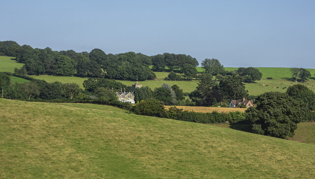
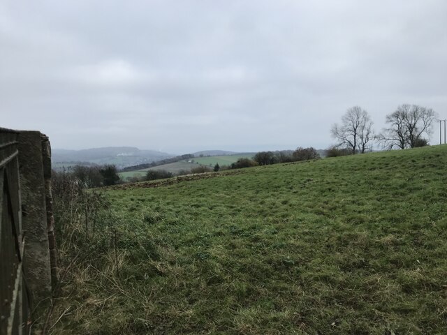
Dockins Hill is a prominent hill located in the county of Gloucestershire, England. Situated in the Cotswolds Area of Outstanding Natural Beauty, it forms part of the Cotswold Hills range. Dockins Hill stands at an elevation of approximately 220 meters (720 feet) above sea level, offering panoramic views of the surrounding countryside.

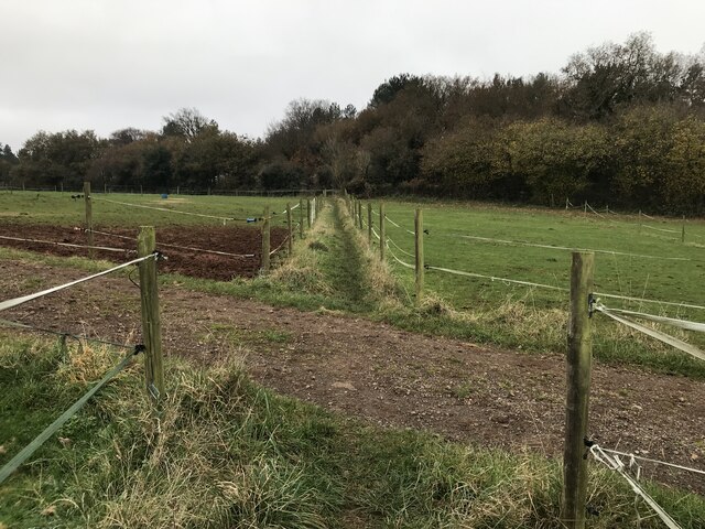
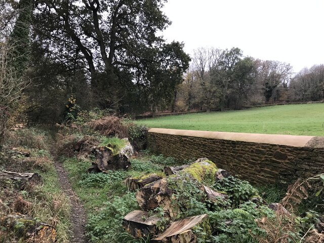
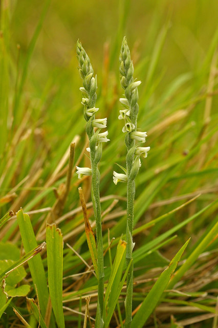
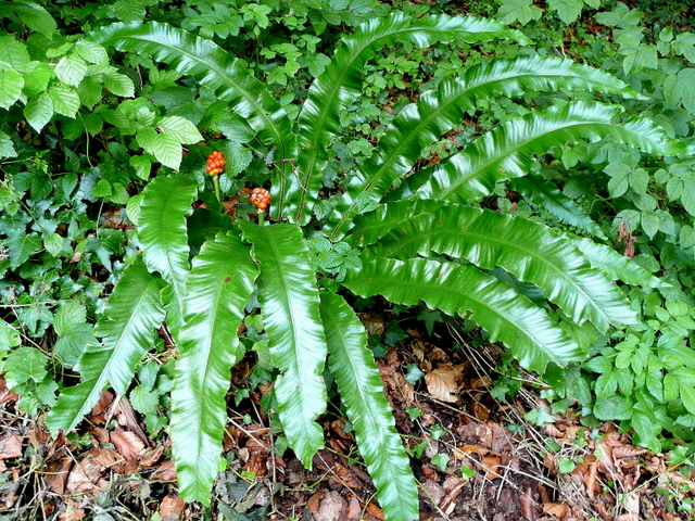
The hill is characterized by its gently sloping terrain and is covered in lush green vegetation, predominantly comprised of grasses and shrubs. It is home to a variety of wildlife, including rabbits, foxes, and numerous bird species. The hill's peaceful and serene environment makes it a popular spot for nature enthusiasts and walkers.

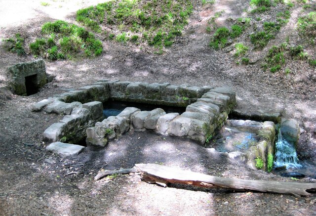
Dockins Hill is steeped in history, with evidence of human activity dating back to the Neolithic period. Archaeological remains, such as burial mounds and ancient settlements, have been discovered in the area, providing valuable insights into the region's past.

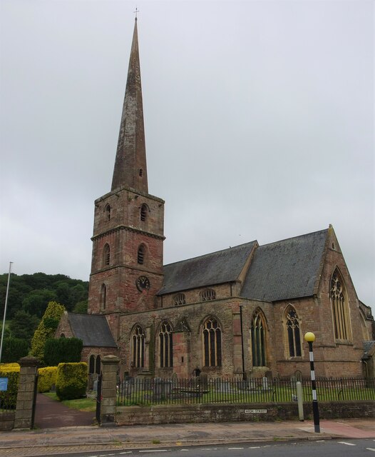
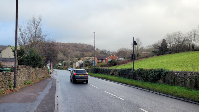
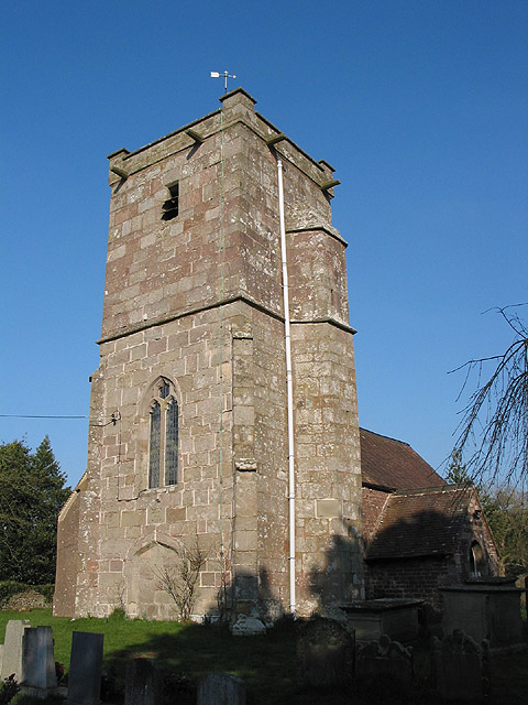
The hill is also known for its rich cultural heritage, with several historic landmarks nearby. Notably, the picturesque village of Painswick lies at the foot of Dockins Hill, renowned for its well-preserved 17th-century architecture and the iconic Painswick Rococo Garden.

Visitors to Dockins Hill can enjoy various outdoor activities, including hiking, picnicking, and photography. The hill's strategic location offers breathtaking vistas of the rolling hills and picturesque countryside, making it a popular destination for locals and tourists alike.

Overall, Dockins Hill is a captivating natural landmark in Gloucestershire, offering a perfect blend of natural beauty, historical significance, and recreational opportunities.

If you have any feedback on the listing, please let us know in the comments section below.
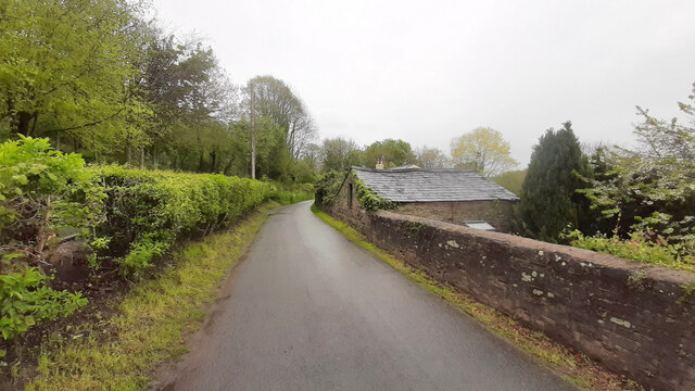
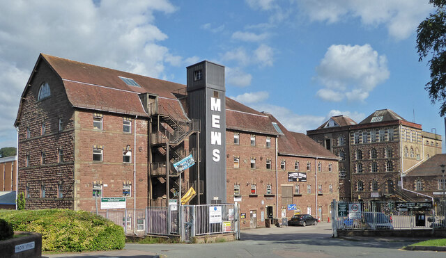
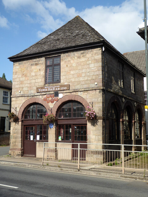
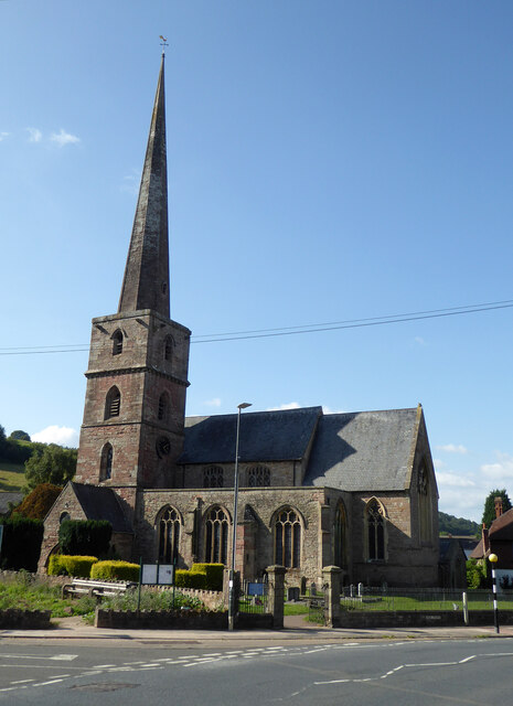
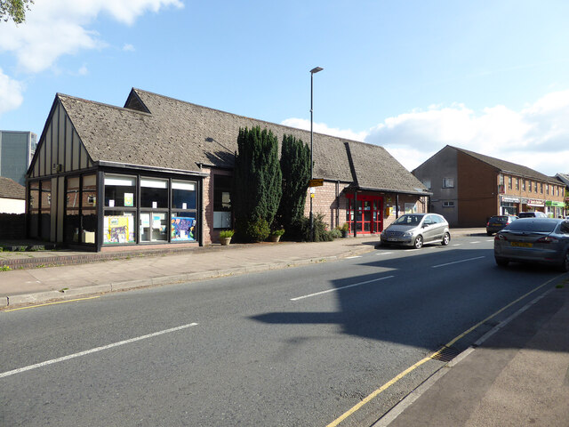
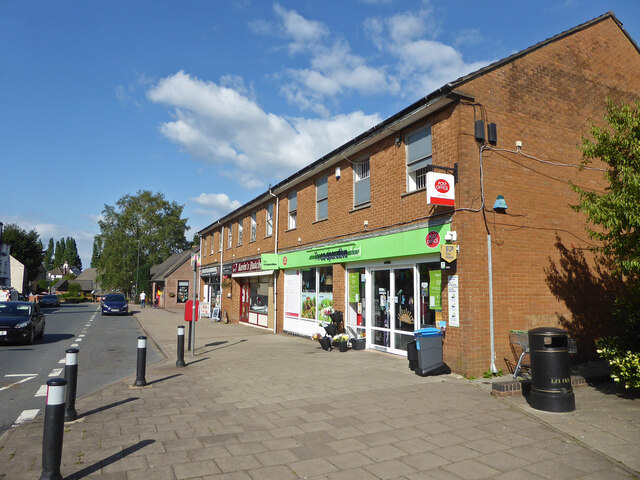
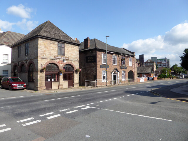
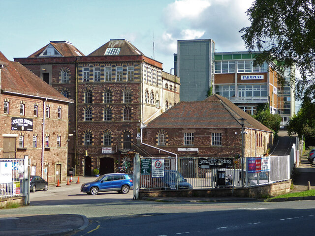
Dockins Hill Images

Images are sourced within 2km of 51.852843/-2.4909716 or Grid Reference SO6617. Thanks to Geograph Open Source API. All images are credited.

Jubilee Road, Mitcheldean Looking north towards Plump Hill.
Jubilee Road, Mitcheldean
Looking north towards Plump Hill.
Former brewery, Mitcheldean I was very surprised to find this unexpectedly while passing through. Initially owned by the Wintle family this brewery became the largest in the Forest of Dean in the 19th century. It was acquired by Cheltenham and Hereford Breweries in 1930. After 1930 it housed the wartime base of British Acoustic Films, later Rank Precision Industries. By 1960 manufacture of Rank Xerox photocopiers led to rapid expansion but decline followed in the 1980s-1990s. The site is now a large business village with these two buildings from the original brewery on the edge of a complex with multiple large buildings.
Former brewery, Mitcheldean
I was very surprised to find this unexpectedly while passing through. Initially owned by the Wintle family this brewery became the largest in the Forest of Dean in the 19th century. It was acquired by Cheltenham and Hereford Breweries in 1930. After 1930 it housed the wartime base of British Acoustic Films, later Rank Precision Industries. By 1960 manufacture of Rank Xerox photocopiers led to rapid expansion but decline followed in the 1980s-1990s. The site is now a large business village with these two buildings from the original brewery on the edge of a complex with multiple large buildings.
Town Hall, Mitcheldean Listed Grade II.
Town Hall, Mitcheldean
Listed Grade II.
Parish Church of St Michael and All Angels, Mitcheldean
Mitcheldean Library
Mitcheldean Library
Co-Operative food store and Post Office, Mitcheldean
Old town Hall  and The White Horse public house, Mitcheldean
Old town Hall and The White Horse public house, Mitcheldean
Former brewery, Mitcheldean I was very surprised to find this unexpectedly while passing through. Initially owned by the Wintle family this brewery became the largest in the Forest of Dean in the 19th century. It was acquired by Cheltenham and Hereford Breweries in 1930. After 1930 it housed the wartime base of British Acoustic Films, later Rank Precision Industries. By 1960 manufacture of Rank Xerox photocopiers led to rapid expansion but decline followed in the 1980s-1990s. The site is now a large business village with two buildings from the original brewery on the edge of a complex with multiple large buildings.
Former brewery, Mitcheldean
I was very surprised to find this unexpectedly while passing through. Initially owned by the Wintle family this brewery became the largest in the Forest of Dean in the 19th century. It was acquired by Cheltenham and Hereford Breweries in 1930. After 1930 it housed the wartime base of British Acoustic Films, later Rank Precision Industries. By 1960 manufacture of Rank Xerox photocopiers led to rapid expansion but decline followed in the 1980s-1990s. The site is now a large business village with two buildings from the original brewery on the edge of a complex with multiple large buildings.
View towards Abenhall Looking east from Jubilee Road with the tower of Abenhall church visible in the late afternoon sunshine.
View towards Abenhall
Looking east from Jubilee Road with the tower of Abenhall church visible in the late afternoon sunshine.
St Anthony's Well Image of the historic well in woodland North-west of Flaxley.
St Anthony's Well
Image of the historic well in woodland North-west of Flaxley.
Church of St Michael and All Angels, Mitcheldean A large parish church with origins stretching back to 14th century and showing subsequent changes and restorations the last being in the 19th century.
The importance of this church was recognised with Grade I listing dating all the way back to 1955 by English Heritage.
Church of St Michael and All Angels, Mitcheldean
A large parish church with origins stretching back to 14th century and showing subsequent changes and restorations the last being in the 19th century. The importance of this church was recognised with Grade I listing dating all the way back to 1955 by English Heritage.
Grassy hillside
Grassy hillside
Between paddocks
Between paddocks
Overgrown pathway
Overgrown pathway
Repaired wall
Repaired wall
A4136 Gloucester Road, Mitcheldean A Sunday morning in December.
A4136 Gloucester Road, Mitcheldean
A Sunday morning in December.
Machinery in the woods Various pieces of equipment litter the woodland at the end of Jubilee Lane.
Machinery in the woods
Various pieces of equipment litter the woodland at the end of Jubilee Lane.
Show me another place!

Dockins Hill is located at Grid Ref: SO6617 (Lat: 51.852843, Lng: -2.4909716)

Administrative County: Gloucestershire

District: Forest of Dean

Police Authority: Gloucestershire

What 3 Words

///cubed.unwell.equipping. Near Mitcheldean, Gloucestershire

Related Wikis

Plump Hill Dolomite Quarry

Plump Hill Dolomite Quarry (grid reference SO661171) is a 4.5-hectare (11-acre) nature reserve in Gloucestershire in the Forest of Dean.The site is managed...

Edgehills Quarry

Edgehills Quarry (grid reference SO660167) is a 0.4-hectare (0.99-acre) geological Site of Special Scientific Interest in Gloucestershire, notified in...

Westbury Brook Ironstone Mine

Westbury Brook Ironstone Mine (grid reference SO662166) is a 15.69-hectare (38.8-acre) biological Site of Special Scientific Interest in Gloucestershire...

Dene Magna School

Dene Magna School is a secondary school in Mitcheldean, Gloucestershire, England. The school takes both girls and boys, and has 1005 pupils aged between...

Abenhall

Abenhall is a small village and former civil parish, now in the parish of Mitcheldean, in the Forest of Dean district, in the county of Gloucestershire...

Stenders Quarry

Stenders Quarry (grid reference SO659183) is a 2.8-hectare (6.9-acre) biological and geological Site of Special Scientific Interest in the Forest of Dean...
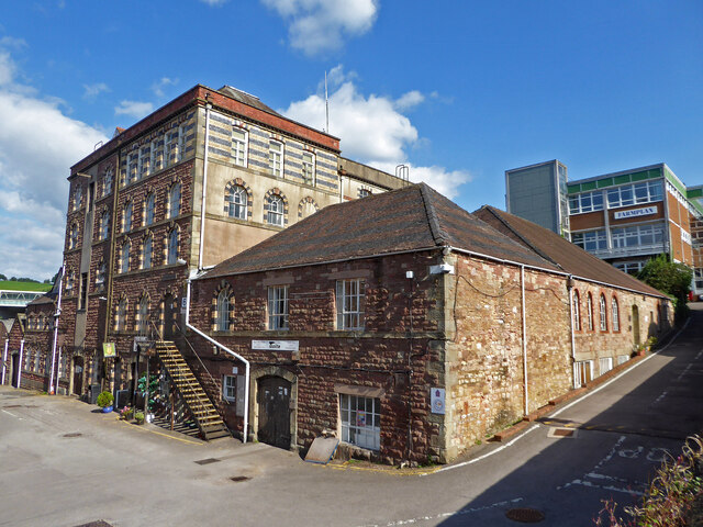
Mitcheldean

Mitcheldean is a market town in the Forest of Dean in Gloucestershire, England. == History == Mitcheldean was a thriving community for many centuries due...

Mitcheldean Town Hall

Mitcheldean Town Hall is a municipal building in the High Street in Mitcheldean, Gloucestershire, England. The structure, which operates as the offices...

Nearby Amenities

Located within 500m of 51.852843,-2.4909716
Plump Hill
Place: locality
Source: NPE+Wikipedia
Lat/Long: 51.8528433/-2.4904395
Plump Hill
Is In: Gloucestershire, England, UK
Note: Apparently more populous than it's parent parish, Abenhall
Place: hamlet
Source: Wikipedia
Wikidata: Q21924510
Lat/Long: 51.8531614/-2.484603
Bus Stop
Dockins Hill
Naptan AtcoCode: 1600GL3831
Naptan Bearing: W
Naptan CommonName: Dockins Hill
Naptan NaptanCode: gloajpmt
Naptan Street: A4136
Naptan Verified: no
Source: naptan_import
Lat/Long: 51.8517454/-2.4895975
Bus Stop
Dockins Hill
Naptan AtcoCode: 1600GL3832
Naptan Bearing: E
Naptan CommonName: Dockins Hill
Naptan NaptanCode: gloajpjw
Naptan Street: A4136
Naptan Verified: no
Source: naptan_import
Lat/Long: 51.8518882/-2.4898604
Bus Stop
The Wilderness
Naptan AtcoCode: 1600GLA36685
Naptan Bearing: SW
Naptan CommonName: The Wilderness
Naptan Indicator: Opp
Naptan NaptanCode: glogmgmd
Naptan Street: A4136
Naptan Verified: no
Source: naptan_import
Lat/Long: 51.8502099/-2.4955623
Bus Stop
The Wilderness
Naptan AtcoCode: 1600GLA36686
Naptan Bearing: NE
Naptan CommonName: The Wilderness
Naptan NaptanCode: glogmgmg
Naptan Street: A4136
Naptan Verified: no
Source: naptan_import
Lat/Long: 51.8504897/-2.4953186
Bench
Lat/Long: 51.8517181/-2.4892425
Post Box
Post Box Type: lamp
Ref: GL17 62
Royal Cypher: EIIR
Royal Cypher Wikidata: Q33102113
Lat/Long: 51.8517574/-2.4891734
Direction: 120
Tourism: viewpoint
Lat/Long: 51.8517381/-2.4892024
Power: pole
Source: Bing
Lat/Long: 51.8548513/-2.4970325
Power: pole
Lat/Long: 51.8561355/-2.4953449
Power: pole
Transformer: distribution
Lat/Long: 51.8534617/-2.4949653
Power: pole
Lat/Long: 51.8540531/-2.4952322
Power: pole
Lat/Long: 51.8553967/-2.4958599
Power: pole
Lat/Long: 51.8557512/-2.4960288
The data included in this document is from www.openstreetmap.org. The data is made available under ODbL.

Have you been to Dockins Hill?

Leave your review of Dockins Hill below (or comments, questions and feedback).