Plump Hill

Settlement in Gloucestershire Forest of Dean

England

Plump Hill

Jubilee Road, Mitcheldean Looking north towards Plump Hill.
Jubilee Road, Mitcheldean Credit: Jonathan Billinger

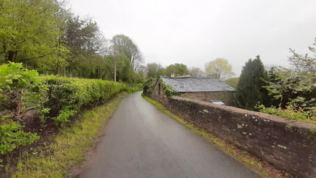
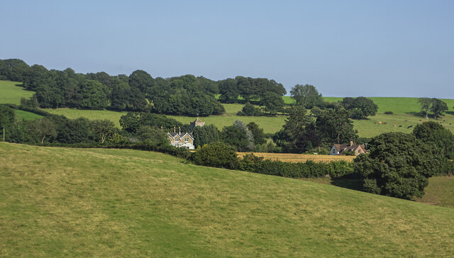
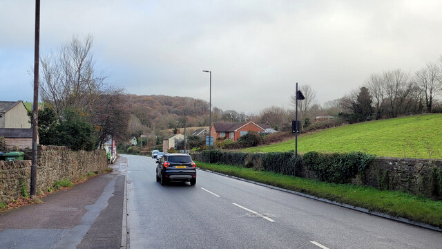
Plump Hill is a small rural village located in the Forest of Dean district of Gloucestershire, England. Situated on the western edge of the forest, it offers residents and visitors a tranquil and picturesque setting surrounded by natural beauty.

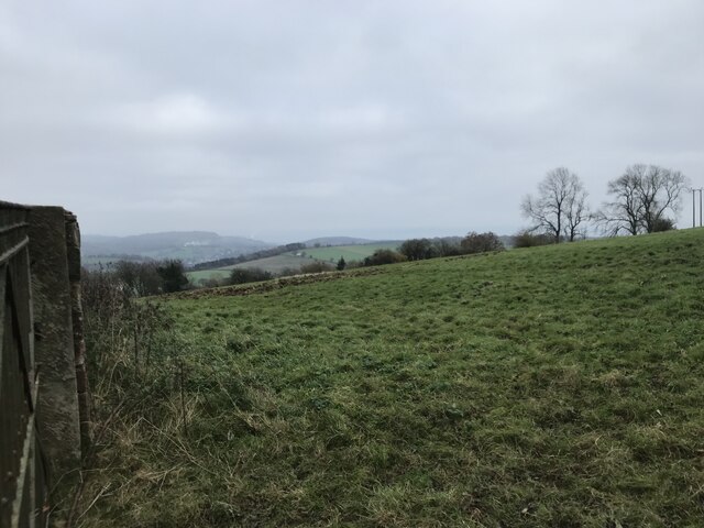
The village is known for its stunning views, with Plump Hill standing at an elevation of approximately 250 meters. From various vantage points, one can take in panoramic vistas of the surrounding countryside, including the rolling hills and dense woodlands that define the Forest of Dean.

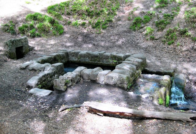
Despite its relatively modest size, Plump Hill boasts a rich history. The area was once a hotspot for iron ore mining, and remnants of this industrial past can still be seen in the form of old mine shafts and spoil heaps scattered throughout the landscape.

In terms of amenities, Plump Hill offers a range of facilities to cater to the needs of its residents. These include a local pub, a primary school, and a village hall that serves as a hub for community events and gatherings.

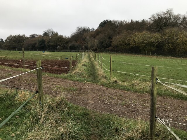
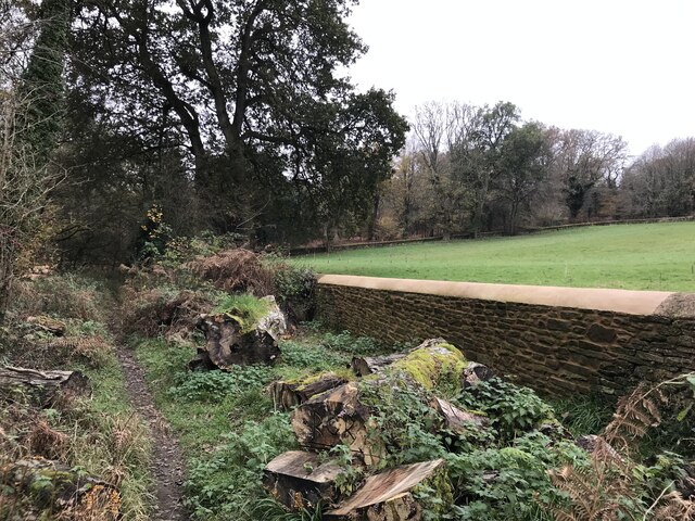
Nestled within the Forest of Dean, Plump Hill is a haven for outdoor enthusiasts. The village provides easy access to an extensive network of walking and cycling trails that wind through the forest, offering opportunities for exploration and recreation.

Overall, Plump Hill is a charming village that provides a peaceful retreat for those seeking a slower pace of life amidst the natural beauty of Gloucestershire.

If you have any feedback on the listing, please let us know in the comments section below.
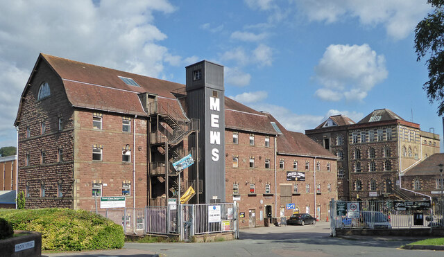
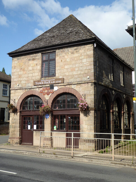
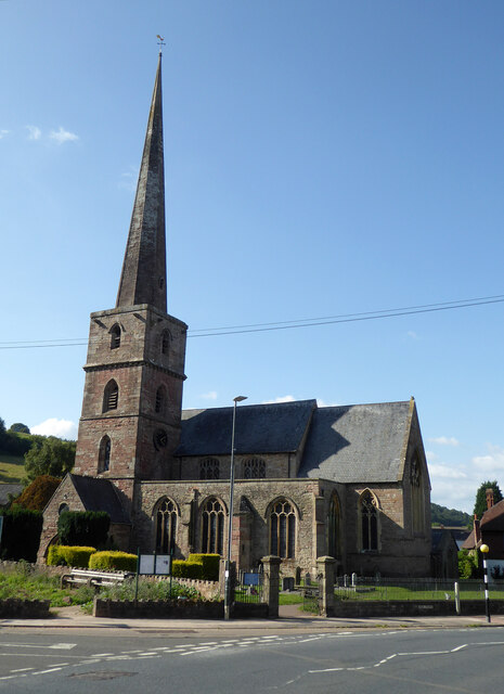
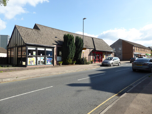
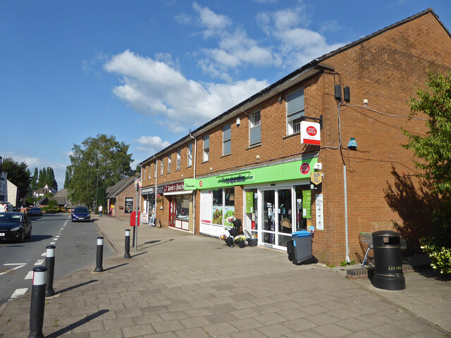
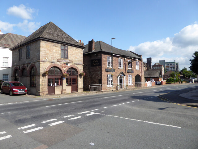
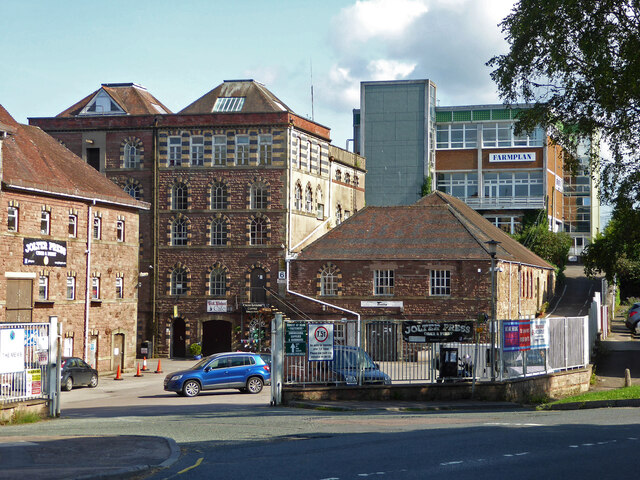
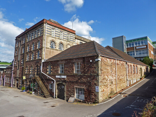
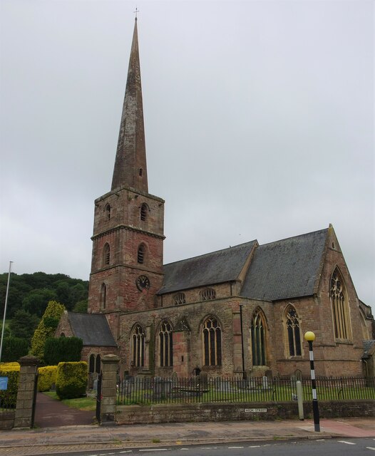
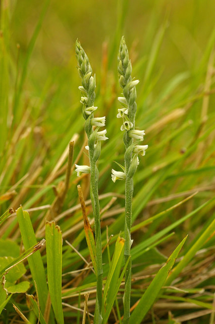
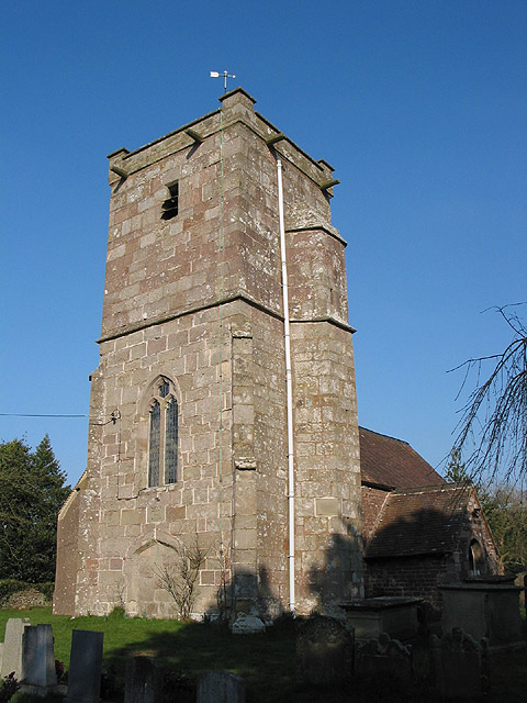
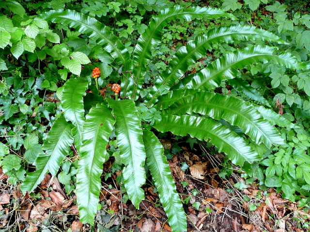
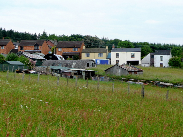
Plump Hill Images

Images are sourced within 2km of 51.852134/-2.493602 or Grid Reference SO6617. Thanks to Geograph Open Source API. All images are credited.

Jubilee Road, Mitcheldean Looking north towards Plump Hill.
Jubilee Road, Mitcheldean
Looking north towards Plump Hill.
Former brewery, Mitcheldean I was very surprised to find this unexpectedly while passing through. Initially owned by the Wintle family this brewery became the largest in the Forest of Dean in the 19th century. It was acquired by Cheltenham and Hereford Breweries in 1930. After 1930 it housed the wartime base of British Acoustic Films, later Rank Precision Industries. By 1960 manufacture of Rank Xerox photocopiers led to rapid expansion but decline followed in the 1980s-1990s. The site is now a large business village with these two buildings from the original brewery on the edge of a complex with multiple large buildings.
Former brewery, Mitcheldean
I was very surprised to find this unexpectedly while passing through. Initially owned by the Wintle family this brewery became the largest in the Forest of Dean in the 19th century. It was acquired by Cheltenham and Hereford Breweries in 1930. After 1930 it housed the wartime base of British Acoustic Films, later Rank Precision Industries. By 1960 manufacture of Rank Xerox photocopiers led to rapid expansion but decline followed in the 1980s-1990s. The site is now a large business village with these two buildings from the original brewery on the edge of a complex with multiple large buildings.
Town Hall, Mitcheldean Listed Grade II.
Town Hall, Mitcheldean
Listed Grade II.
Parish Church of St Michael and All Angels, Mitcheldean
Mitcheldean Library
Mitcheldean Library
Co-Operative food store and Post Office, Mitcheldean
Old town Hall  and The White Horse public house, Mitcheldean
Old town Hall and The White Horse public house, Mitcheldean
Former brewery, Mitcheldean I was very surprised to find this unexpectedly while passing through. Initially owned by the Wintle family this brewery became the largest in the Forest of Dean in the 19th century. It was acquired by Cheltenham and Hereford Breweries in 1930. After 1930 it housed the wartime base of British Acoustic Films, later Rank Precision Industries. By 1960 manufacture of Rank Xerox photocopiers led to rapid expansion but decline followed in the 1980s-1990s. The site is now a large business village with two buildings from the original brewery on the edge of a complex with multiple large buildings.
Former brewery, Mitcheldean
I was very surprised to find this unexpectedly while passing through. Initially owned by the Wintle family this brewery became the largest in the Forest of Dean in the 19th century. It was acquired by Cheltenham and Hereford Breweries in 1930. After 1930 it housed the wartime base of British Acoustic Films, later Rank Precision Industries. By 1960 manufacture of Rank Xerox photocopiers led to rapid expansion but decline followed in the 1980s-1990s. The site is now a large business village with two buildings from the original brewery on the edge of a complex with multiple large buildings.
View towards Abenhall Looking east from Jubilee Road with the tower of Abenhall church visible in the late afternoon sunshine.
View towards Abenhall
Looking east from Jubilee Road with the tower of Abenhall church visible in the late afternoon sunshine.
St Anthony's Well Image of the historic well in woodland North-west of Flaxley.
St Anthony's Well
Image of the historic well in woodland North-west of Flaxley.
Church of St Michael and All Angels, Mitcheldean A large parish church with origins stretching back to 14th century and showing subsequent changes and restorations the last being in the 19th century.
The importance of this church was recognised with Grade I listing dating all the way back to 1955 by English Heritage.
Church of St Michael and All Angels, Mitcheldean
A large parish church with origins stretching back to 14th century and showing subsequent changes and restorations the last being in the 19th century. The importance of this church was recognised with Grade I listing dating all the way back to 1955 by English Heritage.
Grassy hillside
Grassy hillside
Between paddocks
Between paddocks
Overgrown pathway
Overgrown pathway
Repaired wall
Repaired wall
A4136 Gloucester Road, Mitcheldean A Sunday morning in December.
A4136 Gloucester Road, Mitcheldean
A Sunday morning in December.
Machinery in the woods Various pieces of equipment litter the woodland at the end of Jubilee Lane.
Machinery in the woods
Various pieces of equipment litter the woodland at the end of Jubilee Lane.
Show me another place!

Plump Hill is located at Grid Ref: SO6617 (Lat: 51.852134, Lng: -2.493602)

Administrative County: Gloucestershire

District: Forest of Dean

Police Authority: Gloucestershire

What 3 Words

///repeating.migrants.bulbs. Near Mitcheldean, Gloucestershire

Related Wikis

Plump Hill Dolomite Quarry

Plump Hill Dolomite Quarry (grid reference SO661171) is a 4.5-hectare (11-acre) nature reserve in Gloucestershire in the Forest of Dean.The site is managed...

Edgehills Quarry

Edgehills Quarry (grid reference SO660167) is a 0.4-hectare (0.99-acre) geological Site of Special Scientific Interest in Gloucestershire, notified in...

Westbury Brook Ironstone Mine

Westbury Brook Ironstone Mine (grid reference SO662166) is a 15.69-hectare (38.8-acre) biological Site of Special Scientific Interest in Gloucestershire...

Dene Magna School

Dene Magna School is a secondary school in Mitcheldean, Gloucestershire, England. The school takes both girls and boys, and has 1005 pupils aged between...

Abenhall

Abenhall is a small village and former civil parish, now in the parish of Mitcheldean, in the Forest of Dean district, in the county of Gloucestershire...

Stenders Quarry

Stenders Quarry (grid reference SO659183) is a 2.8-hectare (6.9-acre) biological and geological Site of Special Scientific Interest in the Forest of Dean...

Harrow Hill, Gloucestershire

Harrow Hill is a village situated in the Forest of Dean in Gloucestershire, England. It is contiguous with the larger village of Drybrook. Originally,...

Mitcheldean

Mitcheldean is a market town in the Forest of Dean in Gloucestershire, England. == History == Mitcheldean was a thriving community for many centuries due...

Related Videos

A Long Walk to May Hill

Thursday 24th June 2021 I was going away for a long-weekend in Shropshire. As part of the journey and with the day to spare, ...

A Sunny Easter Sunday Walk

A sunny Easter Sunday seven and a half mile walk from Drybrook through Hope Mansell, Lea Bailey and Wigpool.

Two Hours in Mitcheldean

Mitcheldean is one of the smaller towns in the county of Gloucestershire. Many people pass through it but few stop to walk around.

Sirui Traveler 7C Tripod - Unboxing and First Impressions

When I wanted to complete my tripod collection with a Traveler model, it had a few criteria to fulfil. This SIRUI Traveler 7C met ...

Nearby Amenities

Located within 500m of 51.852134,-2.493602
Plump Hill
Place: locality
Source: NPE+Wikipedia
Lat/Long: 51.8528433/-2.4904395
Bus Stop
Dockins Hill
Naptan AtcoCode: 1600GL3831
Naptan Bearing: W
Naptan CommonName: Dockins Hill
Naptan NaptanCode: gloajpmt
Naptan Street: A4136
Naptan Verified: no
Source: naptan_import
Lat/Long: 51.8517454/-2.4895975
Bus Stop
Dockins Hill
Naptan AtcoCode: 1600GL3832
Naptan Bearing: E
Naptan CommonName: Dockins Hill
Naptan NaptanCode: gloajpjw
Naptan Street: A4136
Naptan Verified: no
Source: naptan_import
Lat/Long: 51.8518882/-2.4898604
Bus Stop
The Wilderness
Naptan AtcoCode: 1600GLA36685
Naptan Bearing: SW
Naptan CommonName: The Wilderness
Naptan Indicator: Opp
Naptan NaptanCode: glogmgmd
Naptan Street: A4136
Naptan Verified: no
Source: naptan_import
Lat/Long: 51.8502099/-2.4955623
Bus Stop
The Wilderness
Naptan AtcoCode: 1600GLA36686
Naptan Bearing: NE
Naptan CommonName: The Wilderness
Naptan NaptanCode: glogmgmg
Naptan Street: A4136
Naptan Verified: no
Source: naptan_import
Lat/Long: 51.8504897/-2.4953186
Bench
Lat/Long: 51.8517181/-2.4892425
Post Box
Post Box Type: lamp
Ref: GL17 62
Royal Cypher: EIIR
Royal Cypher Wikidata: Q33102113
Lat/Long: 51.8517574/-2.4891734
Fixme: incomplete
Lat/Long: 51.8481618/-2.4906737
Direction: 120
Tourism: viewpoint
Lat/Long: 51.8517381/-2.4892024
Power: pole
Source: Bing
Lat/Long: 51.8548513/-2.4970325
Power: pole
Source: Bing
Lat/Long: 51.8525437/-2.4997141
Power: pole
Source: Bing
Lat/Long: 51.8509185/-2.4992917
Power: pole
Source: Bing
Lat/Long: 51.8528391/-2.4993554
Power: pole
Lat/Long: 51.8524412/-2.5008316
Power: pole
Lat/Long: 51.8561355/-2.4953449
Power: pole
Transformer: distribution
Lat/Long: 51.8534617/-2.4949653
Power: pole
Lat/Long: 51.8540531/-2.4952322
Power: pole
Lat/Long: 51.8553967/-2.4958599
Power: pole
Lat/Long: 51.8557512/-2.4960288
The data included in this document is from www.openstreetmap.org. The data is made available under ODbL.

Have you been to Plump Hill?

Leave your review of Plump Hill below (or comments, questions and feedback).