Abenhall

Settlement in Gloucestershire Forest of Dean

England

Abenhall

Jubilee Road, Mitcheldean Looking north towards Plump Hill.
Jubilee Road, Mitcheldean Credit: Jonathan Billinger

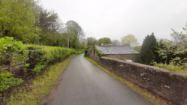
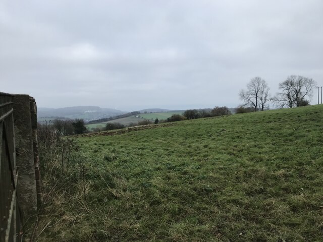
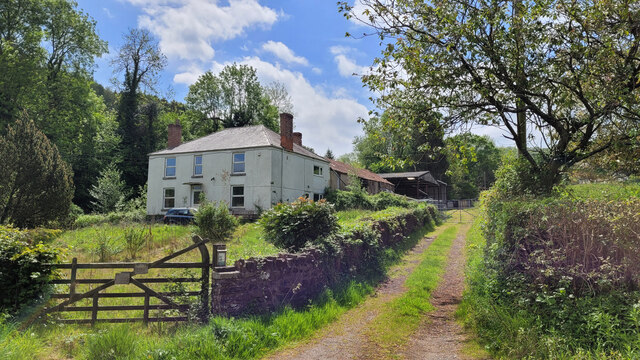
Abenhall is a small village located in the Forest of Dean district of Gloucestershire, England. Situated in the western part of the county, it lies approximately 6 miles southwest of the town of Mitcheldean and 14 miles west of Gloucester. With a population of around 200 residents, Abenhall is known for its picturesque rural setting and tranquil atmosphere.

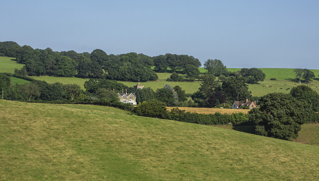
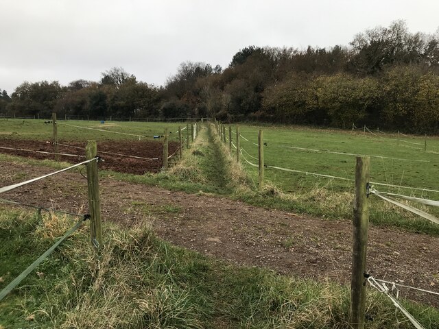
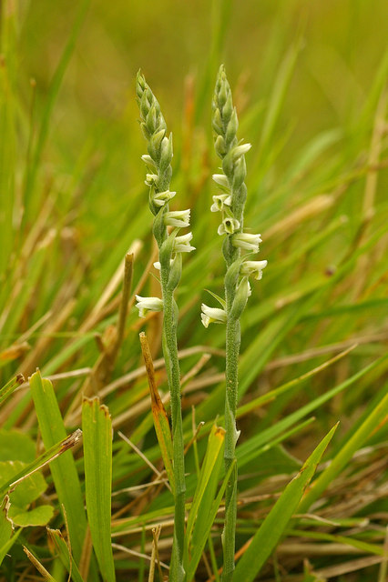
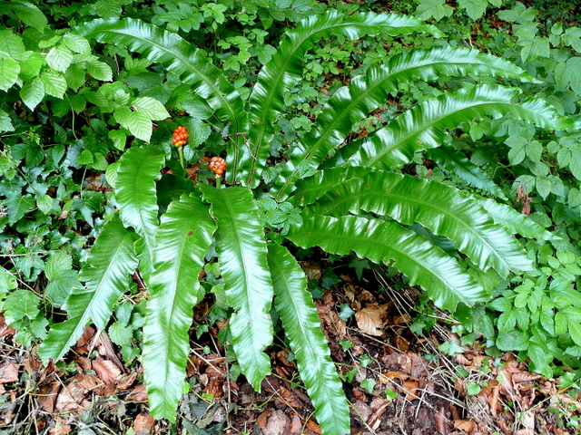
The village is surrounded by rolling hills and lush green fields, making it an ideal destination for nature lovers and outdoor enthusiasts. It is located within the Wye Valley Area of Outstanding Natural Beauty, offering residents and visitors stunning views and a variety of walking and cycling trails to explore.

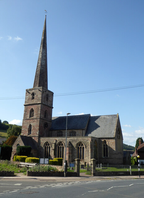
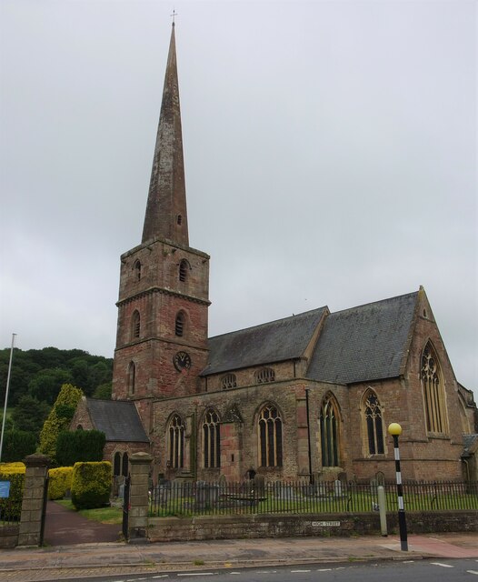
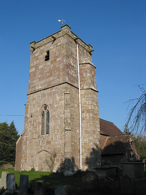
Abenhall is home to a 12th-century parish church, St. Michael and All Angels, which stands as a historic landmark in the village. The church features beautiful Norman architecture and is a popular site for weddings and special religious ceremonies.

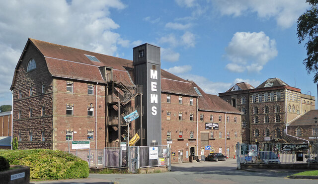
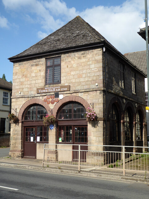
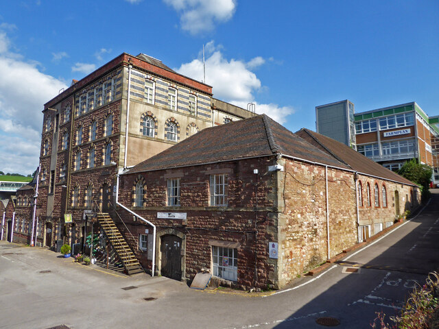
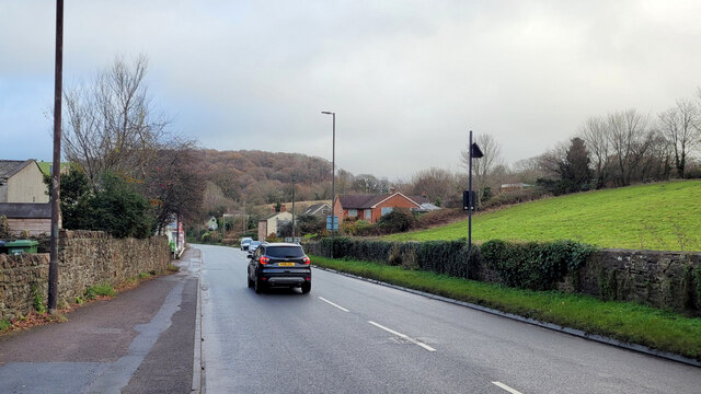
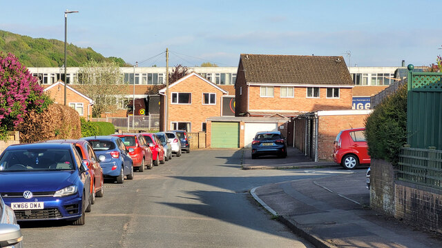
While Abenhall is predominantly a residential area, there are limited amenities available within the village itself. However, the nearby towns of Mitcheldean and Gloucester provide residents with a wider range of services, including shops, schools, healthcare facilities, and recreational activities.

Overall, Abenhall offers a peaceful and idyllic lifestyle for its residents, with its natural beauty and close-knit community fostering a sense of tranquility and harmony.

If you have any feedback on the listing, please let us know in the comments section below.
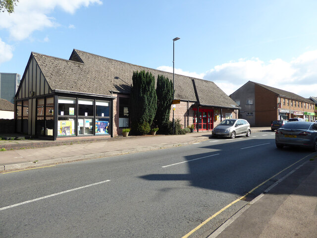
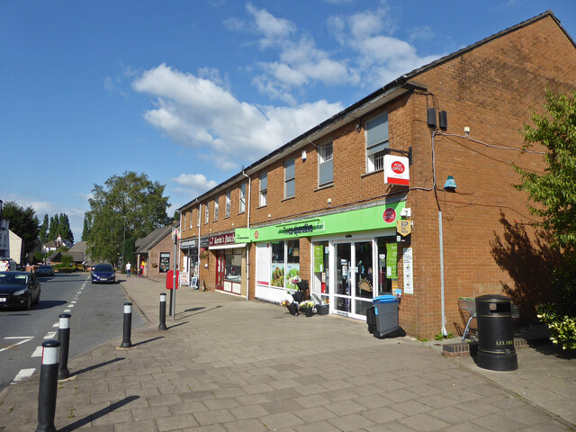
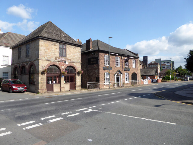
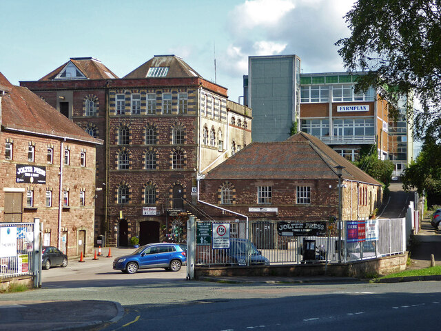
Abenhall Images

Images are sourced within 2km of 51.853657/-2.4809043 or Grid Reference SO6617. Thanks to Geograph Open Source API. All images are credited.

Jubilee Road, Mitcheldean Looking north towards Plump Hill.
Jubilee Road, Mitcheldean
Looking north towards Plump Hill.
Former brewery, Mitcheldean I was very surprised to find this unexpectedly while passing through. Initially owned by the Wintle family this brewery became the largest in the Forest of Dean in the 19th century. It was acquired by Cheltenham and Hereford Breweries in 1930. After 1930 it housed the wartime base of British Acoustic Films, later Rank Precision Industries. By 1960 manufacture of Rank Xerox photocopiers led to rapid expansion but decline followed in the 1980s-1990s. The site is now a large business village with these two buildings from the original brewery on the edge of a complex with multiple large buildings.
Former brewery, Mitcheldean
I was very surprised to find this unexpectedly while passing through. Initially owned by the Wintle family this brewery became the largest in the Forest of Dean in the 19th century. It was acquired by Cheltenham and Hereford Breweries in 1930. After 1930 it housed the wartime base of British Acoustic Films, later Rank Precision Industries. By 1960 manufacture of Rank Xerox photocopiers led to rapid expansion but decline followed in the 1980s-1990s. The site is now a large business village with these two buildings from the original brewery on the edge of a complex with multiple large buildings.
Town Hall, Mitcheldean Listed Grade II.
Town Hall, Mitcheldean
Listed Grade II.
Parish Church of St Michael and All Angels, Mitcheldean
Mitcheldean Library
Mitcheldean Library
Co-Operative food store and Post Office, Mitcheldean
Old town Hall  and The White Horse public house, Mitcheldean
Old town Hall and The White Horse public house, Mitcheldean
Former brewery, Mitcheldean I was very surprised to find this unexpectedly while passing through. Initially owned by the Wintle family this brewery became the largest in the Forest of Dean in the 19th century. It was acquired by Cheltenham and Hereford Breweries in 1930. After 1930 it housed the wartime base of British Acoustic Films, later Rank Precision Industries. By 1960 manufacture of Rank Xerox photocopiers led to rapid expansion but decline followed in the 1980s-1990s. The site is now a large business village with two buildings from the original brewery on the edge of a complex with multiple large buildings.
Former brewery, Mitcheldean
I was very surprised to find this unexpectedly while passing through. Initially owned by the Wintle family this brewery became the largest in the Forest of Dean in the 19th century. It was acquired by Cheltenham and Hereford Breweries in 1930. After 1930 it housed the wartime base of British Acoustic Films, later Rank Precision Industries. By 1960 manufacture of Rank Xerox photocopiers led to rapid expansion but decline followed in the 1980s-1990s. The site is now a large business village with two buildings from the original brewery on the edge of a complex with multiple large buildings.
View towards Abenhall Looking east from Jubilee Road with the tower of Abenhall church visible in the late afternoon sunshine.
View towards Abenhall
Looking east from Jubilee Road with the tower of Abenhall church visible in the late afternoon sunshine.
St Anthony's Well Image of the historic well in woodland North-west of Flaxley.
St Anthony's Well
Image of the historic well in woodland North-west of Flaxley.
Church of St Michael and All Angels, Mitcheldean A large parish church with origins stretching back to 14th century and showing subsequent changes and restorations the last being in the 19th century.
The importance of this church was recognised with Grade I listing dating all the way back to 1955 by English Heritage.
Church of St Michael and All Angels, Mitcheldean
A large parish church with origins stretching back to 14th century and showing subsequent changes and restorations the last being in the 19th century. The importance of this church was recognised with Grade I listing dating all the way back to 1955 by English Heritage.
Grassy hillside
Grassy hillside
Between paddocks
Between paddocks
A4136 Gloucester Road, Mitcheldean A Sunday morning in December.
A4136 Gloucester Road, Mitcheldean
A Sunday morning in December.
Machinery in the woods Various pieces of equipment litter the woodland at the end of Jubilee Lane.
Machinery in the woods
Various pieces of equipment litter the woodland at the end of Jubilee Lane.
Deansway Road, Mitcheldean The village housing is dominated by the former Rank Xerox buildings which are now a huge sprawling business park.
Deansway Road, Mitcheldean
The village housing is dominated by the former Rank Xerox buildings which are now a huge sprawling business park.
Bridleway by Marshes Farm The path is part of the Gloucestershire Way.
Bridleway by Marshes Farm
The path is part of the Gloucestershire Way.
Show me another place!

Abenhall is located at Grid Ref: SO6617 (Lat: 51.853657, Lng: -2.4809043)

Administrative County: Gloucestershire

District: Forest of Dean

Police Authority: Gloucestershire

What 3 Words

///pure.promise.morphing. Near Mitcheldean, Gloucestershire

Related Wikis

Dene Magna School

Dene Magna School is a secondary school in Mitcheldean, Gloucestershire, England. The school takes both girls and boys, and has 1005 pupils aged between...

Abenhall

Abenhall is a small village and former civil parish, now in the parish of Mitcheldean, in the Forest of Dean district, in the county of Gloucestershire...

Plump Hill Dolomite Quarry

Plump Hill Dolomite Quarry (grid reference SO661171) is a 4.5-hectare (11-acre) nature reserve in Gloucestershire in the Forest of Dean.The site is managed...

Westbury Brook Ironstone Mine

Westbury Brook Ironstone Mine (grid reference SO662166) is a 15.69-hectare (38.8-acre) biological Site of Special Scientific Interest in Gloucestershire...

Edgehills Quarry

Edgehills Quarry (grid reference SO660167) is a 0.4-hectare (0.99-acre) geological Site of Special Scientific Interest in Gloucestershire, notified in...

Land Grove Quarry, Mitcheldean

Land Grove Quarry, Mitcheldean (grid reference SO672185) is a 3.8-hectare (9.4-acre) geological Site of Special Scientific Interest in Gloucestershire...

Mitcheldean

Mitcheldean is a market town in the Forest of Dean in Gloucestershire, England. == History == Mitcheldean was a thriving community for many centuries due...

Stenders Quarry

Stenders Quarry (grid reference SO659183) is a 2.8-hectare (6.9-acre) biological and geological Site of Special Scientific Interest in the Forest of Dean...

Nearby Amenities

Located within 500m of 51.853657,-2.4809043
Abenhall
Is In: Gloucestershire, England, UK
Place: village
Wikidata: Q740708
Lat/Long: 51.8529493/-2.4791957
Plump Hill
Is In: Gloucestershire, England, UK
Note: Apparently more populous than it's parent parish, Abenhall
Place: hamlet
Source: Wikipedia
Wikidata: Q21924510
Lat/Long: 51.8531614/-2.484603
Bus Stop
Church Turn
Naptan AtcoCode: 1600GLF629
Naptan Bearing: N
Naptan CommonName: Church Turn
Naptan Indicator: Opp
Naptan NaptanCode: gloajtjg
Naptan Street: Abenhall Rd
Naptan Verified: no
Source: naptan_import
Lat/Long: 51.853777/-2.480995
Bus Stop
Church Turn
Naptan AtcoCode: 1600GLF630
Naptan Bearing: S
Naptan CommonName: Church Turn
Naptan NaptanCode: gloajtjm
Naptan Street: Abenhall Rd
Naptan Verified: no
Source: naptan_import
Lat/Long: 51.8537955/-2.4808646
Church Farm
Place: locality
Source: OS Opendata Streetview
Lat/Long: 51.853602/-2.477888
Post Box
Ref: GL17 18
Source: survey
Lat/Long: 51.8541857/-2.4789513
Power: pole
Lat/Long: 51.8528834/-2.4765962
Power: pole
Lat/Long: 51.8536952/-2.4773875
Power: pole
Lat/Long: 51.8544747/-2.4781238
Power: pole
Lat/Long: 51.8552409/-2.478919
Power: pole
Lat/Long: 51.8561223/-2.4798417
Power: pole
Lat/Long: 51.8579313/-2.4810648
The data included in this document is from www.openstreetmap.org. The data is made available under ODbL.

Have you been to Abenhall?

Leave your review of Abenhall below (or comments, questions and feedback).