Aber

Settlement in Brecknockshire

Wales

Aber

Talybont Aqueduct, Monmouthshire & Brecon Canal
Talybont Aqueduct, Monmouthshire & Brecon Canal Credit: Colin Park

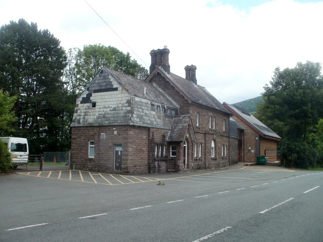
Aber is a small village located in the historic county of Brecknockshire, Wales. Situated in the heart of the Brecon Beacons National Park, Aber is known for its stunning natural beauty and rich cultural heritage.

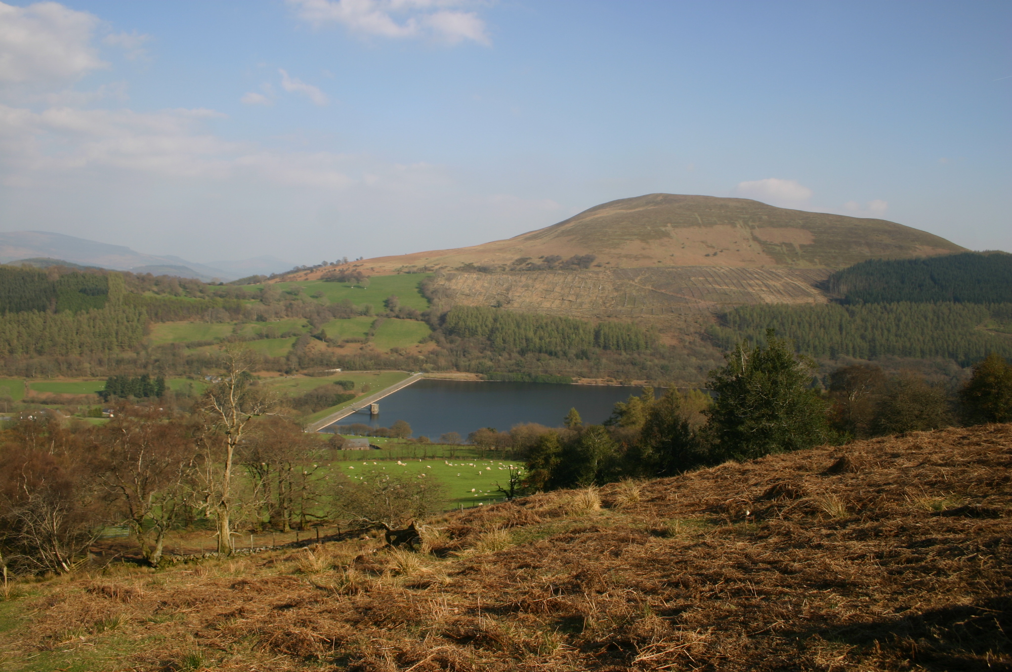
The village is nestled along the banks of the River Usk, providing residents and visitors with picturesque views of the surrounding countryside. The landscape is dominated by rolling hills, lush green valleys, and the towering peaks of the Brecon Beacons.

Aber is home to a close-knit community, with a population of around 500 residents. The village offers a range of amenities, including a local pub, a village hall, and a primary school. It is also within close proximity to the market town of Brecon, which provides additional services and facilities.

The area around Aber is a haven for outdoor enthusiasts, with numerous walking, hiking, and cycling trails to explore. The nearby Brecon Beacons offer opportunities for mountaineering and rock climbing, while the River Usk is popular for fishing and canoeing.

In addition to its natural attractions, Aber is steeped in history. The village is home to several historical landmarks, including Aber Castle, a medieval fortress dating back to the 12th century. The ruins of the castle provide a glimpse into the area's past and offer a unique experience for history enthusiasts.

Overall, Aber is a charming village that offers a tranquil and idyllic setting for those seeking a peaceful retreat in the heart of the Brecon Beacons National Park.

If you have any feedback on the listing, please let us know in the comments section below.
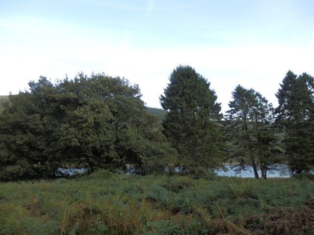
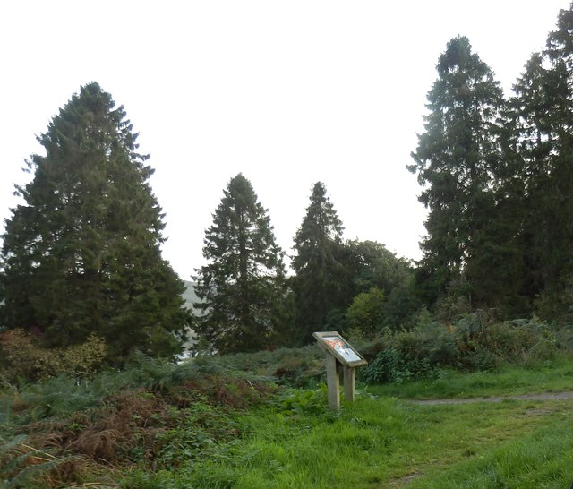
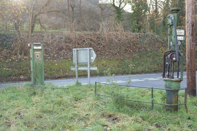
Aber Images

Images are sourced within 2km of 51.883763/-3.3015736 or Grid Reference SO1021. Thanks to Geograph Open Source API. All images are credited.

Talybont Aqueduct, Monmouthshire & Brecon Canal
Bank at Talybont Reservoir
Picnic Area and Information Board near Talybont Reservoir
Monmouthshire and Brecon Canal, near Talybont Electrically operated road bridge.
Monmouthshire and Brecon Canal, near Talybont
Electrically operated road bridge.
Monmouthshire and Brecon Canal, Ashford Tunnel You have to check before entering, that there is no-one else in there!
Monmouthshire and Brecon Canal, Ashford Tunnel
You have to check before entering, that there is no-one else in there!
Talybont Reservoir The area of the reservoir closest to the dam.
Talybont Reservoir
The area of the reservoir closest to the dam.
Canal bridge, Monmouthshire & Brecon Canal, Talybont 1978 Another lifting canal bridge sited at the junction of the canal, the B4558 and the road leading to Talybont reservoir. Photographed December 1979.
Canal bridge, Monmouthshire & Brecon Canal, Talybont 1978
Another lifting canal bridge sited at the junction of the canal, the B4558 and the road leading to Talybont reservoir. Photographed December 1979.
Talybont Reservoir, dam at north end Taken while cycling Lon Las Cymru (National Cycle Network route 8)
Talybont Reservoir, dam at north end
Taken while cycling Lon Las Cymru (National Cycle Network route 8)
Talybont Reservoir View SW towards Allt Lwyd, at a time of low water levels, quite common in the 1990's.
Talybont Reservoir
View SW towards Allt Lwyd, at a time of low water levels, quite common in the 1990's.
Bridge restrictions The drawbridge stays down during the school run. There is another sign on the other side of the bridge in English and in Welsh stating the restrictions unfortunately the reflection of the sun makes it hard to read the times on the picture.
Bridge restrictions
The drawbridge stays down during the school run. There is another sign on the other side of the bridge in English and in Welsh stating the restrictions unfortunately the reflection of the sun makes it hard to read the times on the picture.
On the north side of Tor y Foel Tor y Foel is the extension of the main Brecon Beacons ridge east of the deep Caerfanell valley, which now holds Talybont reservoir (<a href="https://www.geograph.org.uk/photo/53719">SO1020 : Talybont Reservoir</a>).  The footpath from Llangynidr cuts across the side of the hill.  The hill in the background is Twyn Du on the other side of the Caerfanell.

An access road to an old quarry south of Tor y Foel runs N to S through this square.  The higher ground in S is open grassland while the lower areas are enclosed grazing, with a little forest on the steep slopes of Caerfanell valley in W.
On the north side of Tor y Foel
Tor y Foel is the extension of the main Brecon Beacons ridge east of the deep Caerfanell valley, which now holds Talybont reservoir (SO1020 : Talybont Reservoir). The footpath from Llangynidr cuts across the side of the hill. The hill in the background is Twyn Du on the other side of the Caerfanell. An access road to an old quarry south of Tor y Foel runs N to S through this square. The higher ground in S is open grassland while the lower areas are enclosed grazing, with a little forest on the steep slopes of Caerfanell valley in W.
Retired petrol pumps
Monmouthshire and Brecon Canal, Talybont The bridge is White Hart Bridge No 143, beyond which are the remains on the railway bridge of the former Midland Railway Hereford, Hay and Brecon line.
Monmouthshire and Brecon Canal, Talybont
The bridge is White Hart Bridge No 143, beyond which are the remains on the railway bridge of the former Midland Railway Hereford, Hay and Brecon line.
Ashford Tunnel A view along the side of the B4558 as the Monmouthshire & Brecon Canal disappears into the north entrance of the Ashford Tunnel.  Light can just be glimpsed at the other end!
Ashford Tunnel
A view along the side of the B4558 as the Monmouthshire & Brecon Canal disappears into the north entrance of the Ashford Tunnel. Light can just be glimpsed at the other end!
Talybont reservoir wall Talybont reservoir is huge and this is a sturdy wall to hold back the pressure. Even though it hasn't rained in a while the white strip on the wall shows that the water level is still not too far below maximum. This reservoir yields 15 million gallons per day and feeds into the usk river - as do the Usk and Cray reservoirs. The people of Newport must all have swimming pools !
Talybont reservoir wall
Talybont reservoir is huge and this is a sturdy wall to hold back the pressure. Even though it hasn't rained in a while the white strip on the wall shows that the water level is still not too far below maximum. This reservoir yields 15 million gallons per day and feeds into the usk river - as do the Usk and Cray reservoirs. The people of Newport must all have swimming pools !
Lift Bridge on the Monmouthshire & Brecon Canal at Talybont-on-Usk
Talybont Reservoir The North end dam of Talybont Reservoir
Talybont Reservoir
The North end dam of Talybont Reservoir
Talybont Reservoir overflow A simple slightly curved wall takes the water out of the reservoir.
Talybont Reservoir overflow
A simple slightly curved wall takes the water out of the reservoir.
Show me another place!

Aber is located at Grid Ref: SO1021 (Lat: 51.883763, Lng: -3.3015736)

Unitary Authority: Powys

Police Authority: Dyfed Powys

What 3 Words

///wing.plea.betraying. Near Llangynidr, Powys

Nearby Locations

Aber Clydach Aber

Related Wikis

Aber Village

Aber Village or Aber Clydach is a hamlet within the Brecon Beacons National Park in Powys, Wales. It is centred on the minor road which runs south from...

Caerfanell

The Caerfanell is a river which rises in the central section of the Brecon Beacons National Park in Powys, Wales. It rises as Blaen Caerfanell on the plateau...

Talybont-on-Usk

Talybont-on-Usk (Welsh: Tal-y-bont ar Wysg) is a village and community in Powys, Wales, in the historic county of Brecknockshire. It lies on both the...

Tor y Foel

Tor y Foel is a hill in the Brecon Beacons National Park in the county of Powys in Wales. It is located on the eastern flank of Talybont Reservoir, and...

Talybont-on-Usk railway station

Talybont-on-Usk railway station was a station in Talybont-on-Usk, Powys, Wales. The station was opened in 1863 and closed in 1962. == References == �...

Talybont Reservoir

Talybont Reservoir (Welsh: Cronfa Ddŵr Tal-y-bont) is the largest stillwater reservoir in the central Brecon Beacons at 318 acres (1.29 km2). Talybont...

Llansantffraed

Llansantffraed (Llansantffraed-juxta-Usk) is a parish in the community of Talybont-on-Usk in Powys, Wales, near Brecon. The benefice of Llansantffraed...

Buckland Coach House & Ice House

Buckland Coach House & Ice House is a Site of Special Scientific Interest in Brecknock, Powys, Wales. These are part of the grounds of Buckland House and...

Nearby Amenities

Located within 500m of 51.883763,-3.3015736
Aber
Name Cy: Aber
Name En: Aber
Place: hamlet
Wikidata: Q4666761
Lat/Long: 51.8837103/-3.3013302
Passing Place
Lat/Long: 51.8855681/-3.3019235
Telephone
Booth: K6
Covered: booth
Man Made: telephone_box
Note: 8/9/2016 proposal to remove notice.
Old Phone: +44 1874 676211
Lat/Long: 51.8836979/-3.3016467
Post Box
Operator: Royal Mail
Post Box Type: lamp
Ref: LD3 373
Royal Cypher: EIIR
Royal Cypher Wikidata: Q33102113
Lat/Long: 51.8837894/-3.3016535
Ele: 195.0000000
Information: board
Tourism: information
Lat/Long: 51.8835313/-3.2961785
Barrier: stile
Lat/Long: 51.883981/-3.2987155
Barrier: stile
Lat/Long: 51.8833525/-3.2986025
Yew Tree Cottage
Tourism: guest_house
Lat/Long: 51.8832714/-3.301378
Ford: yes
Lat/Long: 51.8852327/-3.2991662
Passing Place
Lat/Long: 51.88784/-3.3017299
Passing Place
Lat/Long: 51.8864389/-3.3019522
Aber Bridge
Place: locality
Lat/Long: 51.88434/-3.3018378
The data included in this document is from www.openstreetmap.org. The data is made available under ODbL.

Have you been to Aber?

Leave your review of Aber below (or comments, questions and feedback).