Lady Grove
Wood, Forest in Gloucestershire Forest of Dean
England
Lady Grove
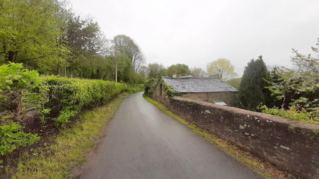
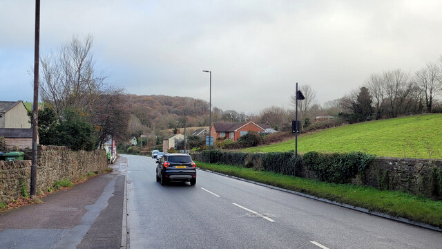
Lady Grove is a picturesque village located in the county of Gloucestershire, nestled within the enchanting woodlands and lush forests of the region. Situated in the heart of the Forest of Dean, this charming village is surrounded by an abundance of natural beauty and offers a tranquil escape from the hustle and bustle of city life.
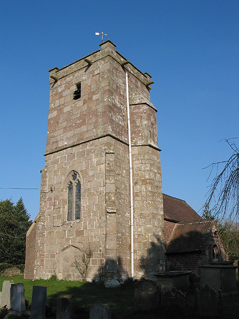
The village itself is characterized by its quaint cottages and traditional architecture, which exude a sense of timeless charm. The well-preserved historic buildings showcase the village's rich heritage and provide a glimpse into its past. Its close-knit community is known for its warm and friendly atmosphere, making visitors feel instantly welcome.
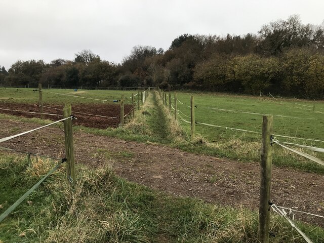
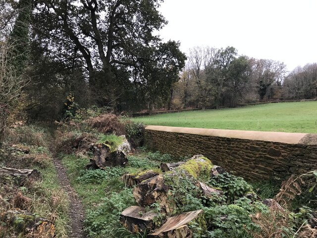
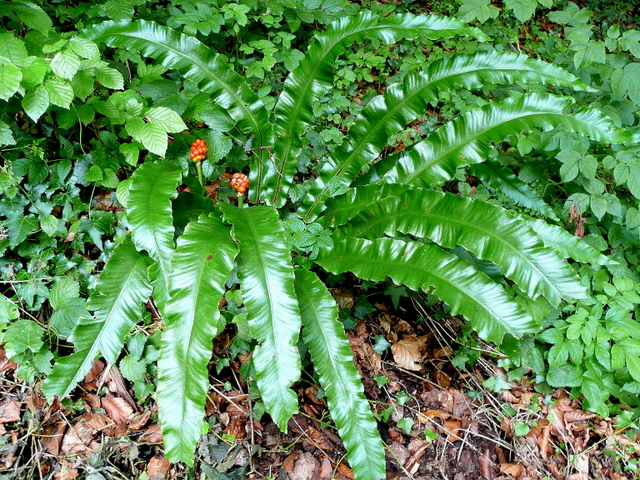
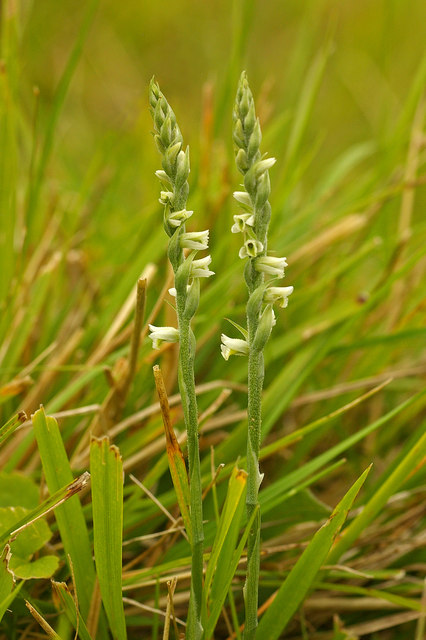
Nature lovers will find themselves in paradise in Lady Grove, as it is surrounded by sprawling woodlands and ancient forests. The Forest of Dean, one of England's largest remaining ancient woodlands, offers a myriad of walking trails and cycling routes, allowing visitors to explore the area at their own pace. The forest is home to an array of wildlife, including deer, badgers, and a variety of bird species, providing ample opportunities for wildlife spotting and birdwatching.
The village is also a gateway to numerous outdoor activities, such as horseback riding, fishing, and canoeing, thanks to its proximity to the River Wye. These activities attract adventurers and outdoor enthusiasts from near and far, who come to experience the thrill of exploring the stunning natural surroundings.
Overall, Lady Grove is a hidden gem in Gloucestershire, offering a perfect blend of natural beauty, rich history, and a warm community spirit. It is a haven for those seeking a peaceful retreat in the heart of the woodlands and forested landscapes.
If you have any feedback on the listing, please let us know in the comments section below.
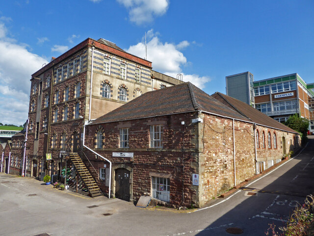
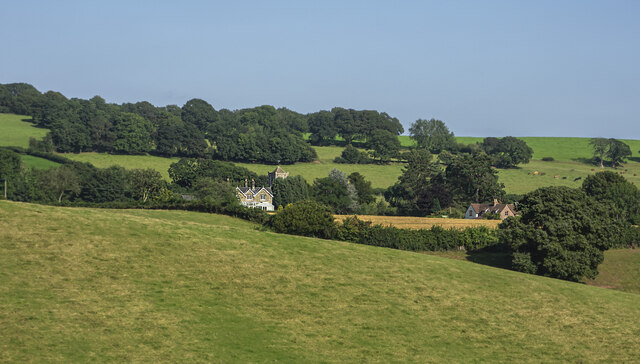
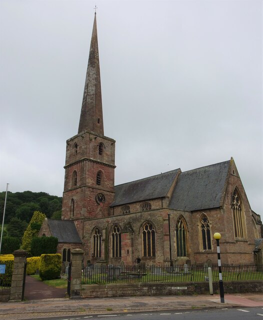
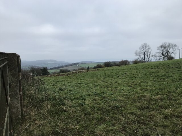
Lady Grove Images
Images are sourced within 2km of 51.857856/-2.4917812 or Grid Reference SO6617. Thanks to Geograph Open Source API. All images are credited.


Lady Grove is located at Grid Ref: SO6617 (Lat: 51.857856, Lng: -2.4917812)
Administrative County: Gloucestershire
District: Forest of Dean
Police Authority: Gloucestershire
What 3 Words
///firepower.sway.triathlon. Near Mitcheldean, Gloucestershire
Nearby Locations
Related Wikis

Dene Magna School
Dene Magna School is a secondary school in Mitcheldean, Gloucestershire, England. The school takes both girls and boys, and has 1005 pupils aged between...
Abenhall
Abenhall is a small village and former civil parish, now in the parish of Mitcheldean, in the Forest of Dean district, in the county of Gloucestershire...
Stenders Quarry
Stenders Quarry (grid reference SO659183) is a 2.8-hectare (6.9-acre) biological and geological Site of Special Scientific Interest in the Forest of Dean...
Plump Hill Dolomite Quarry
Plump Hill Dolomite Quarry (grid reference SO661171) is a 4.5-hectare (11-acre) nature reserve in Gloucestershire in the Forest of Dean.The site is managed...

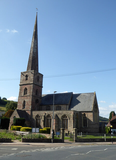
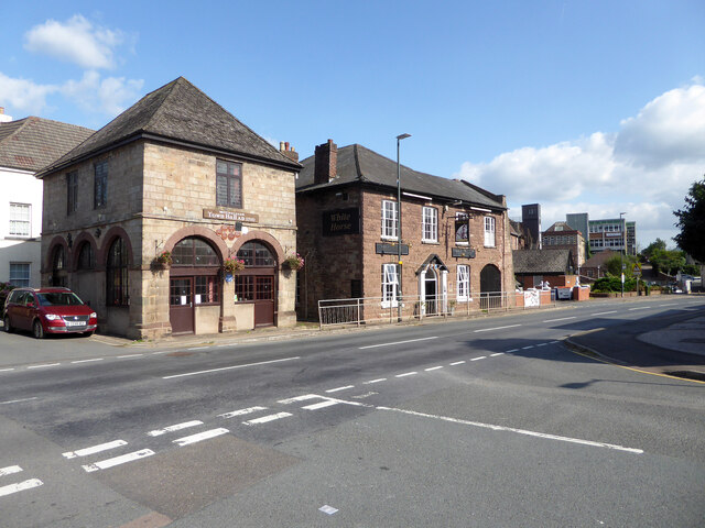
Mitcheldean
Mitcheldean is a market town in the Forest of Dean in Gloucestershire, England. == History == Mitcheldean was a thriving community for many centuries due...

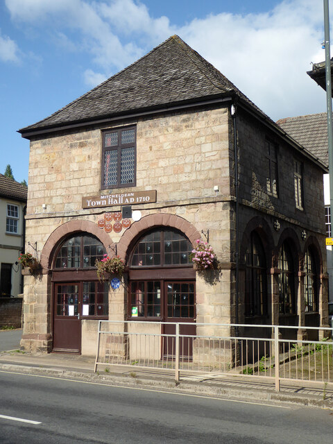
Mitcheldean Town Hall
Mitcheldean Town Hall is a municipal building in the High Street in Mitcheldean, Gloucestershire, England. The structure, which operates as the offices...
Scully Grove Quarry
Scully Grove Quarry (grid reference SO657186) is a 0.4-hectare (0.99-acre) geological Site of Special Scientific Interest in Gloucestershire, England,...

Edgehills Quarry
Edgehills Quarry (grid reference SO660167) is a 0.4-hectare (0.99-acre) geological Site of Special Scientific Interest in Gloucestershire, notified in...
Nearby Amenities
Located within 500m of 51.857856,-2.4917812Have you been to Lady Grove?
Leave your review of Lady Grove below (or comments, questions and feedback).