Burholme Wood
Wood, Forest in Yorkshire Ribble Valley
England
Burholme Wood
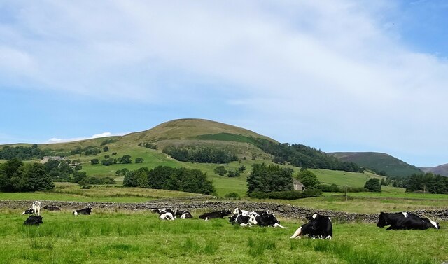
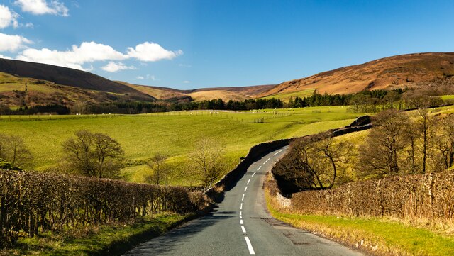
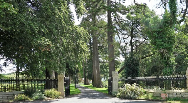
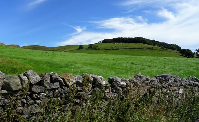
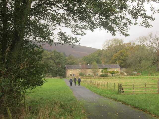
Burholme Wood is a scenic woodland located in Yorkshire, England. Covering an area of approximately 200 acres, this enchanting forest is a haven for nature enthusiasts and a popular destination among hikers, birdwatchers, and wildlife photographers.
The wood is characterized by its diverse range of tree species, including oak, birch, beech, and ash. These towering trees create a picturesque landscape, particularly during the autumn months when the leaves transform into a vibrant display of colors.
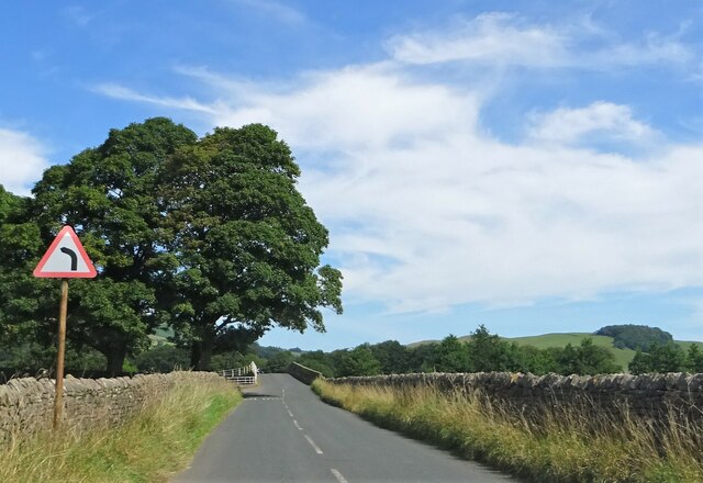
Traversing through Burholme Wood, visitors can explore a network of well-maintained trails that meander through the forest. These paths offer opportunities to spot various indigenous wildlife, such as deer, foxes, badgers, and a plethora of bird species. Birdwatchers are especially drawn to this woodland due to the presence of rare species like the lesser spotted woodpecker and the tawny owl.
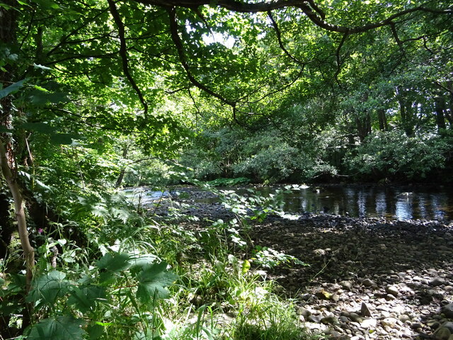
The wood also boasts a small lake, providing a tranquil spot for visitors to relax and enjoy the peaceful surroundings. The lake is home to a variety of aquatic life, including ducks, herons, and dragonflies.
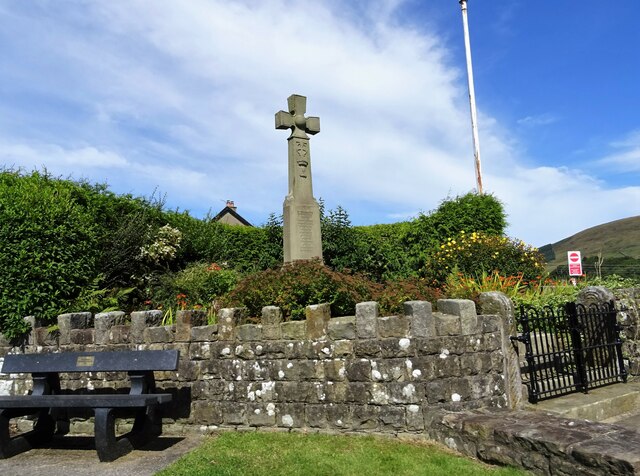
Burholme Wood is not only a natural haven but also a place of historical significance. It is believed to have ancient roots, with remnants of Iron Age settlements found within its boundaries. Archaeological finds, such as pottery fragments and tools, have shed light on the woodland's past.
Overall, Burholme Wood offers a delightful escape from the hustle and bustle of everyday life, providing visitors with a serene environment to connect with nature and immerse themselves in the beauty of Yorkshire's woodlands.
If you have any feedback on the listing, please let us know in the comments section below.
Burholme Wood Images
Images are sourced within 2km of 53.934885/-2.5159152 or Grid Reference SD6648. Thanks to Geograph Open Source API. All images are credited.
Burholme Wood is located at Grid Ref: SD6648 (Lat: 53.934885, Lng: -2.5159152)
Division: West Riding
Administrative County: Lancashire
District: Ribble Valley
Police Authority: Lancashire
What 3 Words
///offers.flippers.capacity. Near Waddington, Lancashire
Nearby Locations
Related Wikis

Langden Brook
Langden Brook is a watercourse in the Trough of Bowland, Lancashire, England. A tributary of the River Hodder, its source is near the summit of Hawthornthwaite...

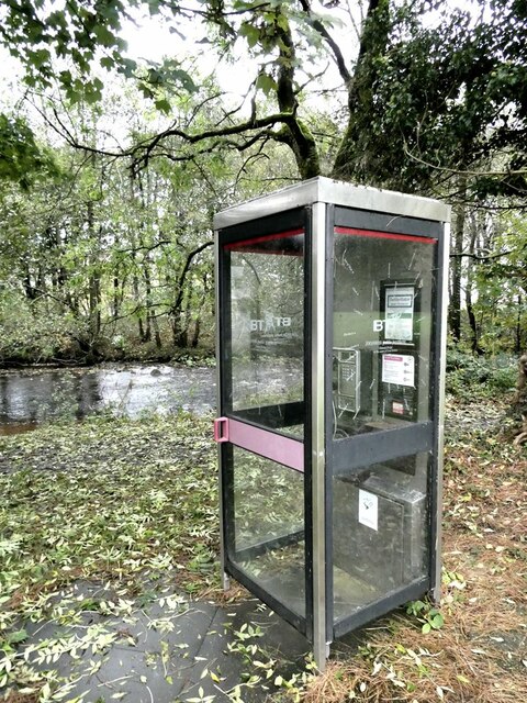
River Dunsop
The River Dunsop is a river in the Forest of Bowland in Northern England. It flows into the River Hodder at Dunsop Bridge.It begins at the confluence of...

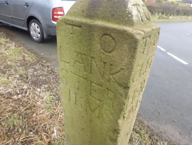
Bowland Forest High milestone
The Bowland Forest High milestone is an historic milestone marker in the English parish of Bowland Forest High, in the Trough of Bowland, Lancashire. A...

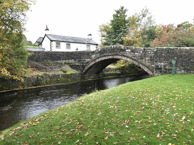
Dunsop Bridge (structure)
Dunsop Bridge is a bridge in the English village of the same name. The structure, which dates to the early 19th century, crosses the River Dunsop. A Grade...

Bowland Forest High
Bowland Forest High is a civil parish in the Ribble Valley district of Lancashire, England, covering some 20,000 acres (80 km2) of the Forest of Bowland...

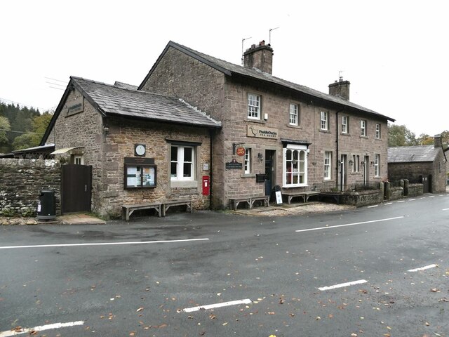
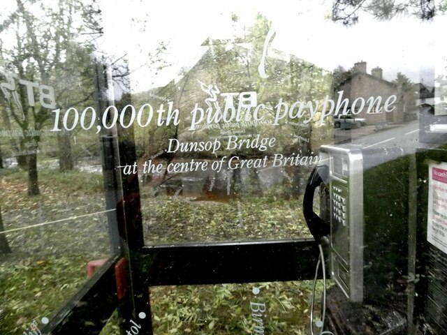
Dunsop Bridge
Dunsop Bridge is a village in the civil parish of Bowland Forest High, in the borough of Ribble Valley, Lancashire, England, 9 miles (14 km) north-west...

Whitewell Hotel
Whitewell Hotel is an historic building in the English parish of Bowland Forest Low, Lancashire. It is Grade II listed, built in 1836, and is in sandstone...

Whitewell
Whitewell is a village within the civil parish of Bowland Forest Low and Ribble Valley borough of Lancashire, England. It is in the Forest of Bowland Area...
Nearby Amenities
Located within 500m of 53.934885,-2.5159152Have you been to Burholme Wood?
Leave your review of Burholme Wood below (or comments, questions and feedback).