Fielding Clough
Valley in Yorkshire Ribble Valley
England
Fielding Clough

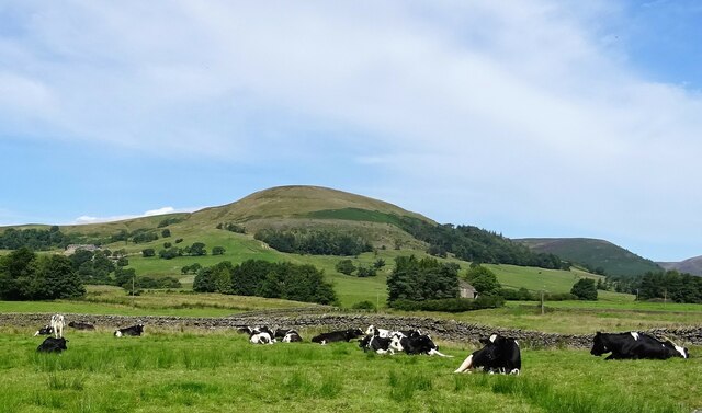
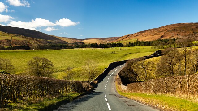
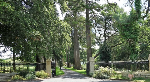
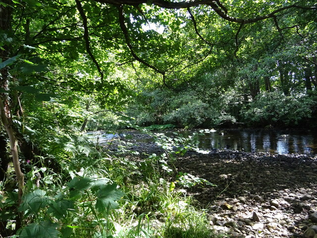
Fielding Clough is a picturesque valley located in the county of Yorkshire, England. Nestled in the heart of the Pennines, it is a place of natural beauty and tranquility. The valley is characterized by its rolling green hills, charming stone cottages, and meandering streams.
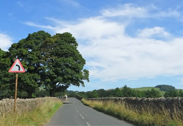
Surrounded by dense woodlands, Fielding Clough offers a haven for nature lovers and outdoor enthusiasts. The valley is home to a variety of flora and fauna, including wildflowers, oak trees, and a diverse range of bird species. Hiking trails crisscross the landscape, allowing visitors to explore the valley's beauty at their own pace.
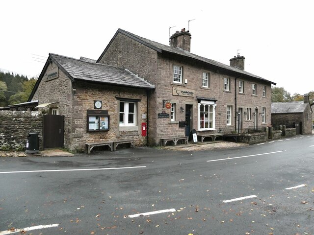
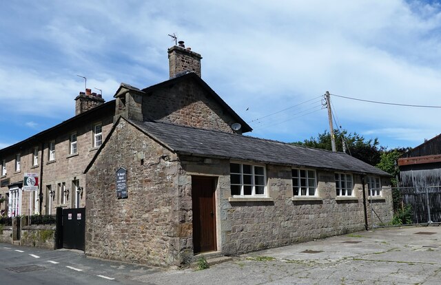
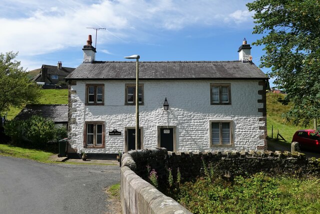
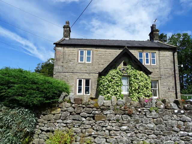
The small village of Fielding Clough is the heart of the valley. With its quaint houses and friendly locals, it exudes a sense of old-world charm. The village is home to a handful of shops, a traditional pub, and a quaint tearoom, offering visitors a taste of the local culture and hospitality.
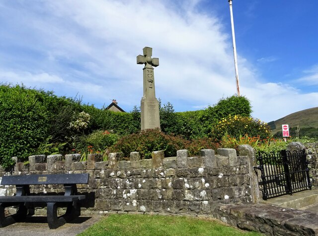
Fielding Clough is also known for its rich history. The valley has been inhabited for centuries, with evidence of Roman and Saxon settlements. The ruins of a medieval castle can still be seen on a hilltop, serving as a reminder of the area's rich heritage.
For those seeking a peaceful retreat amidst nature, Fielding Clough is the ideal destination. Its untouched beauty and serene atmosphere make it a truly remarkable place to visit in Yorkshire.
If you have any feedback on the listing, please let us know in the comments section below.
Fielding Clough Images
Images are sourced within 2km of 53.933114/-2.5139285 or Grid Reference SD6648. Thanks to Geograph Open Source API. All images are credited.

Fielding Clough is located at Grid Ref: SD6648 (Lat: 53.933114, Lng: -2.5139285)
Division: West Riding
Administrative County: Lancashire
District: Ribble Valley
Police Authority: Lancashire
What 3 Words
///clipped.concluded.singled. Near Waddington, Lancashire
Nearby Locations
Related Wikis

Langden Brook
Langden Brook is a watercourse in the Trough of Bowland, Lancashire, England. A tributary of the River Hodder, its source is near the summit of Hawthornthwaite...

River Dunsop
The River Dunsop is a river in the Forest of Bowland in Northern England. It flows into the River Hodder at Dunsop Bridge.It begins at the confluence of...

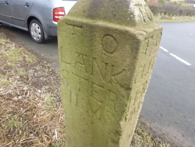
Bowland Forest High milestone
The Bowland Forest High milestone is an historic milestone marker in the English parish of Bowland Forest High, in the Trough of Bowland, Lancashire. A...

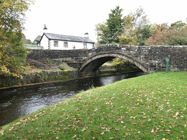
Dunsop Bridge (structure)
Dunsop Bridge is a bridge in the English village of the same name. The structure, which dates to the early 19th century, crosses the River Dunsop. A Grade...

Bowland Forest High
Bowland Forest High is a civil parish in the Ribble Valley district of Lancashire, England, covering some 20,000 acres (80 km2) of the Forest of Bowland...

Dunsop Bridge
Dunsop Bridge is a village in the civil parish of Bowland Forest High, in the borough of Ribble Valley, Lancashire, England, 9 miles (14 km) north-west...

Whitewell Hotel
Whitewell Hotel is an historic building in the English parish of Bowland Forest Low, Lancashire. It is Grade II listed, built in 1836, and is in sandstone...

Whitewell
Whitewell is a village within the civil parish of Bowland Forest Low and Ribble Valley borough of Lancashire, England. It is in the Forest of Bowland Area...
Related Videos

Walking roman roads in Lancashire
The roman road north from Ribchester fort to Carlisle and Hadrian's wall runs through the remote landscape of north Lancashire.

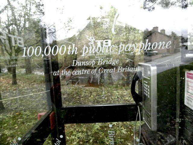
WHERE is the CENTRE of the UK ? Hike to the Hanging Stones!
Join me on the quest to visit the centre of Great Britain. It is not an easy hike from Dunsop Bridge in Lancashire, as the fells are ...
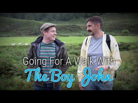
Going For A Walk With The Boy John
In this episode of Going For A Walk With, I go for a stroll in the Ribble Valley with ace up and coming YouTuber @JohnRochford.
YOLO - DUNSOP VALLEY, WHITENDALE & FOREST OF BOWLAND
Whilst Team YOLO are climbing Irelands biggest mountain 'Carrauntoohil', a small group of us headed for The Bowland Valley ...
Nearby Amenities
Located within 500m of 53.933114,-2.5139285Have you been to Fielding Clough?
Leave your review of Fielding Clough below (or comments, questions and feedback).