Cobles
Hill, Mountain in Westmorland Eden
England
Cobles

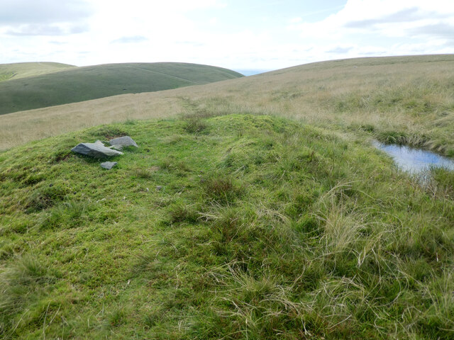
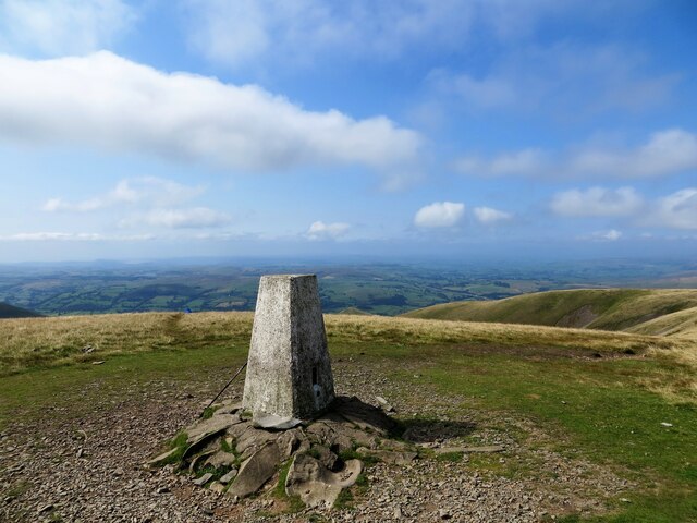
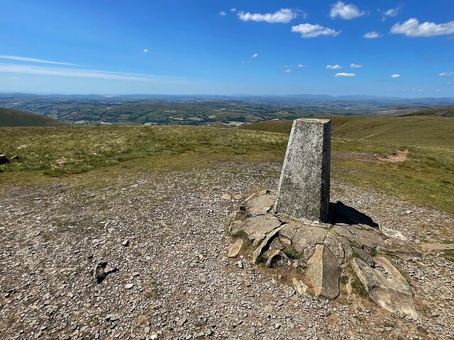
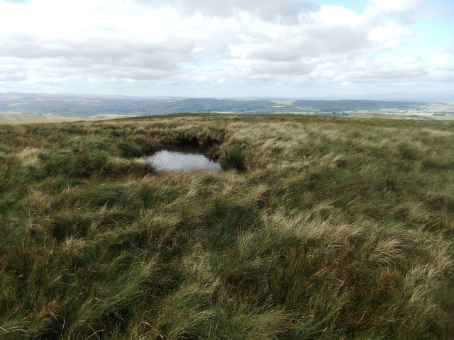
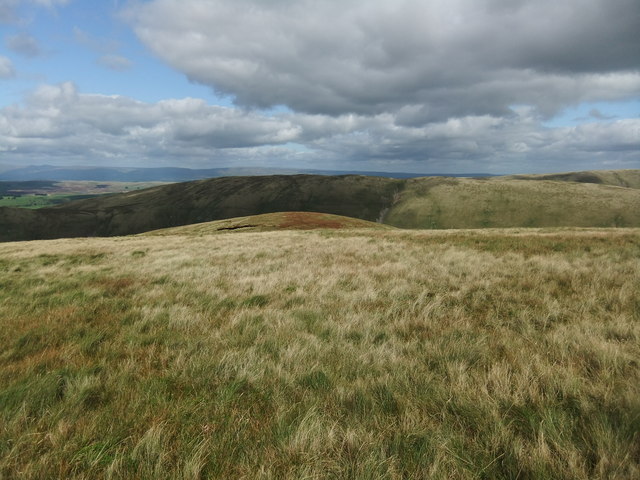
Cobles is a small hill located in the county of Westmorland, England. It is situated in the Lake District National Park, renowned for its stunning natural landscapes and picturesque views. With an elevation of approximately 1,200 feet, Cobles is considered a mountain by British standards.
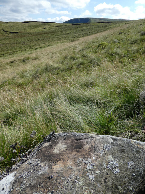
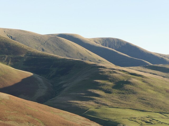
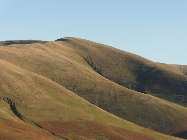
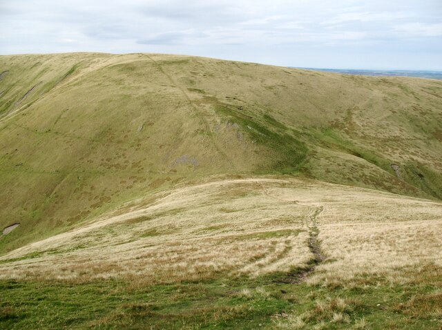
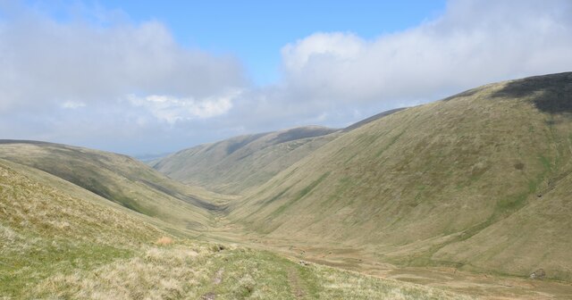
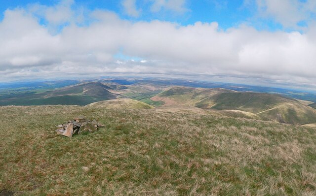
The hill offers visitors a unique opportunity to experience the beauty of the Lake District. Its distinct shape and prominent position provide panoramic views of the surrounding area, including nearby lakes, valleys, and rolling hills. On a clear day, it is possible to see as far as the Irish Sea.
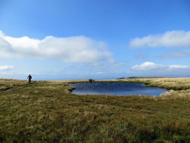
Cobles is a popular destination for outdoor enthusiasts, particularly hikers and climbers. It offers a range of trails and paths suitable for all levels of experience, from leisurely walks to more challenging hikes. The hill is also home to a variety of wildlife, including birds of prey, deer, and rare plant species, making it a haven for nature lovers.
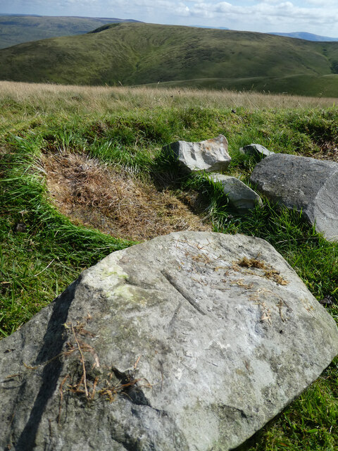
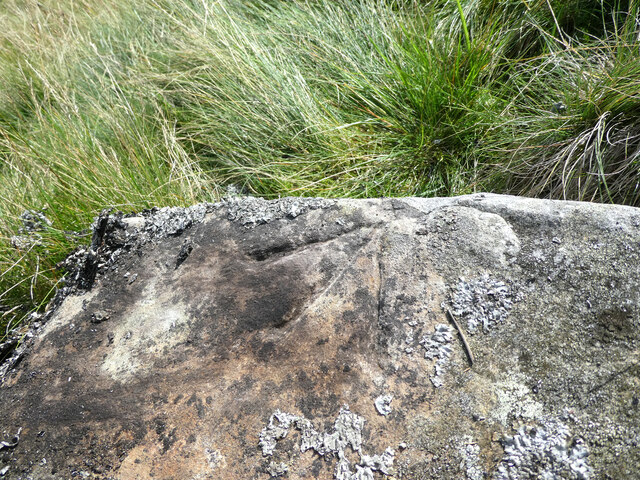
Aside from its natural beauty, Cobles is steeped in history. The area has evidence of ancient settlements and has been inhabited for centuries. There are remnants of prehistoric stone circles and burial grounds, providing a glimpse into the area's rich past.
Access to Cobles is relatively easy, with nearby parking and well-maintained paths. Visitors are advised to check weather conditions and come prepared with appropriate clothing and equipment. Whether you are seeking adventure, tranquility, or a chance to immerse yourself in nature, Cobles in Westmorland is a must-visit destination in the Lake District.
If you have any feedback on the listing, please let us know in the comments section below.
Cobles Images
Images are sourced within 2km of 54.383451/-2.520342 or Grid Reference SD6698. Thanks to Geograph Open Source API. All images are credited.


Cobles is located at Grid Ref: SD6698 (Lat: 54.383451, Lng: -2.520342)
Administrative County: Cumbria
District: Eden
Police Authority: Cumbria
What 3 Words
///propelled.empire.partly. Near Sedbergh, Cumbria
Nearby Locations
Related Wikis

The Calf
The Calf, at 676 m, is the highest top in the Howgill Fells, an area of high ground in the north-west of the Yorkshire Dales in the county of Cumbria...

Yarlside
Yarlside is a hill in the Howgill Fells, Cumbria (historically Westmorland), England. This fell is not to be confused with the Yarlside area near Barrow...

Howgill Fells
The Howgill Fells are uplands in Northern England between the Lake District and the Yorkshire Dales, lying roughly within a triangle formed by the town...
Randygill Top
Randygill Top is a mountain located in the Howgill Fells, Cumbria (historically Westmorland), England. == References ==

Calders (Yorkshire Dales)
Calders is a summit of 2,211 feet (674 m) in the Howgill Fells, Cumbria, England. It lies about 2⁄3 mile (1 km) south east of the summit of The Calf and...

Low Gill railway station
Low Gill railway station served the hamlet of Lowgill, Westmorland (now in Cumbria), England, from 1846 to 1966 on the Lancaster and Carlisle Railway....

Holy Trinity Church, Howgill
Holy Trinity Church stands in a country lane near the hamlet of Howgill, between Sedbergh and Tebay, Cumbria, England. It is an active Anglican church...

Weasdale
Weasdale is a small hamlet in Cumbria, England, 850 feet (260 m) above sea-level on the northern flanks of the Howgill Fells. It is located approximately...
Nearby Amenities
Located within 500m of 54.383451,-2.520342Have you been to Cobles?
Leave your review of Cobles below (or comments, questions and feedback).