Tottle Hill

Hill, Mountain in Cumberland Eden

England

Tottle Hill

Grazing land near Kirkland Grazing land near Kirkland, the track leads to Cross Fell.
Grazing land near Kirkland Credit: Colin Kinnear

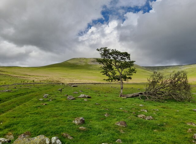
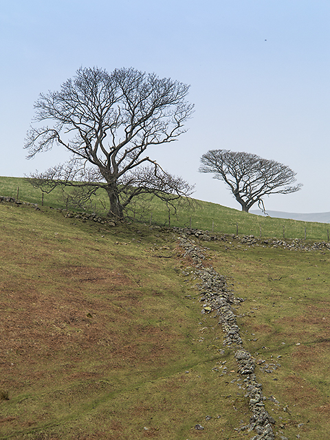
Tottle Hill is a prominent hill located in the county of Cumberland, in the northwestern region of England. With an elevation of approximately 1,230 feet (375 meters) above sea level, Tottle Hill is classified as a hill or mountain, depending on the specific definition used.

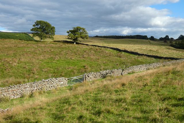
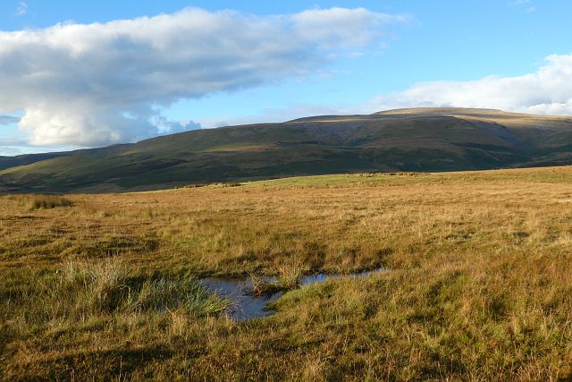
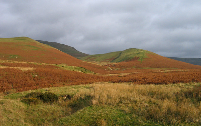
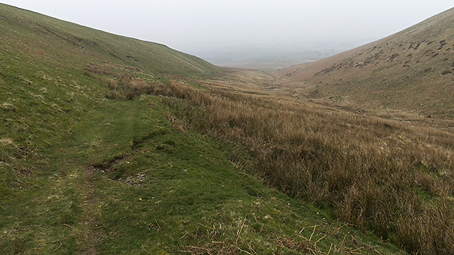
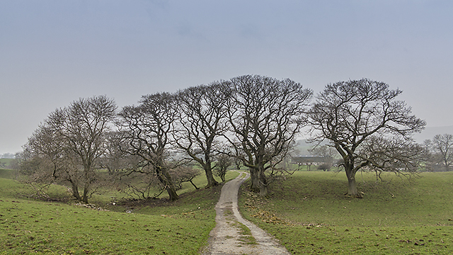
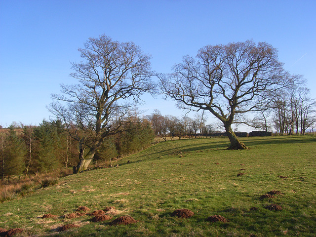
Situated within the picturesque Lake District National Park, Tottle Hill offers breathtaking panoramic views of the surrounding landscapes. The hill is a popular destination for hikers, mountaineers, and nature enthusiasts, who are drawn to its rugged terrain and stunning vistas. The ascent to the summit can be challenging but rewarding, with a variety of trails catering to different levels of experience.

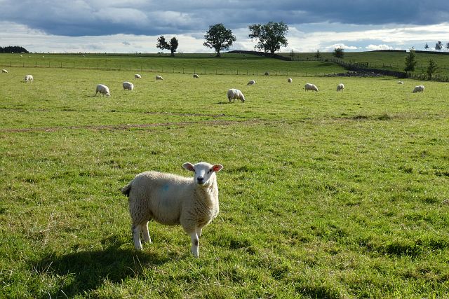
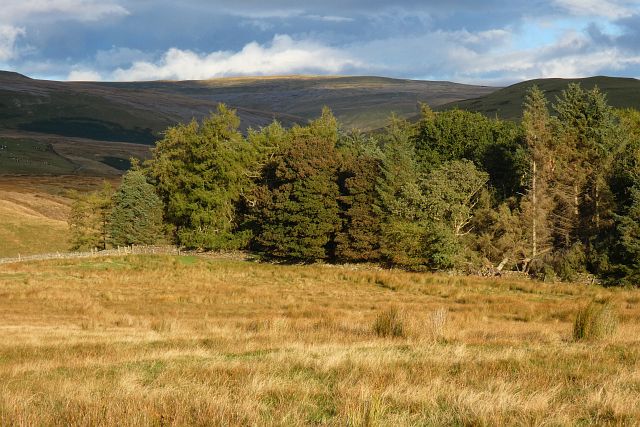
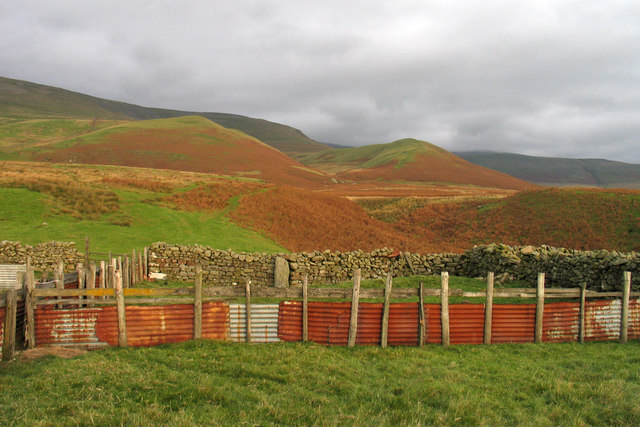
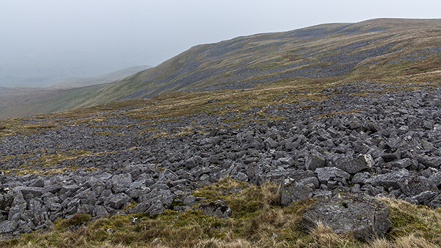
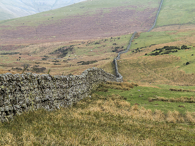
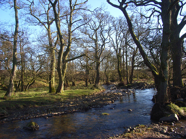
The hill is characterized by its rocky outcrops, heather-covered slopes, and scattered woodland areas. The vegetation on Tottle Hill is a mix of grasses, shrubs, and hardy mountain plants, providing habitat for a diverse range of flora and fauna. Birdwatchers may spot species such as peregrine falcons, buzzards, and red grouse in the skies above.

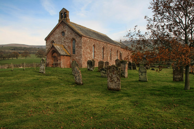
Tottle Hill is steeped in history, with evidence of human settlement dating back thousands of years. Archaeological remains, including ancient burial mounds and stone circles, can be found in the vicinity of the hill, adding to its cultural significance.

Overall, Tottle Hill is a remarkable natural feature of Cumberland, offering not only physical challenges and stunning vistas but also a glimpse into the rich history and biodiversity of the region.

If you have any feedback on the listing, please let us know in the comments section below.
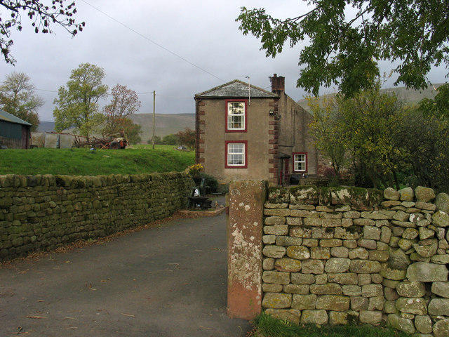
Tottle Hill Images

Images are sourced within 2km of 54.68207/-2.5246367 or Grid Reference NY6632. Thanks to Geograph Open Source API. All images are credited.

Grazing land near Kirkland Grazing land near Kirkland, the track leads to Cross Fell.
Grazing land near Kirkland
Grazing land near Kirkland, the track leads to Cross Fell.
Pasture, Culgaith Sheep beside the bridleway between Blencarn and Wythwaite.
Pasture, Culgaith
Sheep beside the bridleway between Blencarn and Wythwaite.
Pasture, Milburn Viewed from just outside of the access land crossed by the footpath south of Wythwaite.
Pasture, Milburn
Viewed from just outside of the access land crossed by the footpath south of Wythwaite.
Moorland, Milburn On Red Carle with Cross Fell in the background.
Moorland, Milburn
On Red Carle with Cross Fell in the background.
Wood and moorland, Milburn The north-western edge of Hill Plantation is seen from Red Carle.
Wood and moorland, Milburn
The north-western edge of Hill Plantation is seen from Red Carle.
Kirkland Hall Ford This ford is found beside Beck Cottage at Kirkland.
Kirkland Hall Ford
This ford is found beside Beck Cottage at Kirkland.
Valley of Littledale Beck Grumply Hill lies to the right of the valley of Littledale; the green line of the bridleway descending the hill can be seen.
Valley of Littledale Beck
Grumply Hill lies to the right of the valley of Littledale; the green line of the bridleway descending the hill can be seen.
Sheep pens at foot of Littledale Littledale is the valley descending through the centre of the image where Grumply Hill lies to the right. The main slope above is the south-western flank of Cross Fell.
Sheep pens at foot of Littledale
Littledale is the valley descending through the centre of the image where Grumply Hill lies to the right. The main slope above is the south-western flank of Cross Fell.
Baron's Hill Baron's Hill lies close to the small settlement of Kirkland at the western foot of Cross Fell.
Baron's Hill
Baron's Hill lies close to the small settlement of Kirkland at the western foot of Cross Fell.
Wildboar Scar A view along Wildboar Scar from the path which leads from Wythwaite to the coll between Cross Fell and Little Dun Fell.
Wildboar Scar
A view along Wildboar Scar from the path which leads from Wythwaite to the coll between Cross Fell and Little Dun Fell.
Drystone wall near Kirkland Beck A drystone wall on the lower slopes of Wildboar Nook. Cloud and smog have blanketed much of the UK when this image was taken, limiting visibility. Land use here is predominantly agricultural.
Drystone wall near Kirkland Beck
A drystone wall on the lower slopes of Wildboar Nook. Cloud and smog have blanketed much of the UK when this image was taken, limiting visibility. Land use here is predominantly agricultural.
Path north west of Grumply Hill A path above Littledale Beck skirting the north west flank of Grumply Hill - this leads from Wythwaite to the coll between Little Dun Fell and Cross Fell.
Path north west of Grumply Hill
A path above Littledale Beck skirting the north west flank of Grumply Hill - this leads from Wythwaite to the coll between Little Dun Fell and Cross Fell.
Farmland near Kirkland A drystone wall on rough pasture near Kirkland.
Farmland near Kirkland
A drystone wall on rough pasture near Kirkland.
Path near Wythwaite A path leading from Wythwaite to Kirkland, viewed here south of the farm at Ranbeck.
Path near Wythwaite
A path leading from Wythwaite to Kirkland, viewed here south of the farm at Ranbeck.
Farmland at Littledale Rough pasture at Littledale, with the remains of last year's bracken growth much in evidence. Low cloud and smog has covered much of the UK when this image was taken, limiting visibility.
Farmland at Littledale
Rough pasture at Littledale, with the remains of last year's bracken growth much in evidence. Low cloud and smog has covered much of the UK when this image was taken, limiting visibility.
St Lawrence's St Lawrence's church in Kirkland
St Lawrence's
St Lawrence's church in Kirkland
Crowdundle Beck and woodland, Milburn Where it is crossed by the footpath between Kirkland and Milburn
Crowdundle Beck and woodland, Milburn
Where it is crossed by the footpath between Kirkland and Milburn
Pasture and woodland, Milburn A footpath towards the village goes off to the right.
Pasture and woodland, Milburn
A footpath towards the village goes off to the right.
Show me another place!

Tottle Hill is located at Grid Ref: NY6632 (Lat: 54.68207, Lng: -2.5246367)

Administrative County: Cumbria

District: Eden

Police Authority: Cumbria

What 3 Words

///nuzzling.area.grower. Near Appleby-in-Westmorland, Cumbria

Nearby Locations

Tottle Hill Moray Hill

Related Wikis

Kirkland, Culgaith

Kirkland is a village in the Eden district of the English county of Cumbria. It is in the historic county of Cumberland. There is a fell called Kirkland...

Blencarn

Blencarn is a small village located in the Eden District of Cumbria, England. The village is situated at the foot of the Pennines. In Blencarn there is...

Milburn, Cumbria

Milburn is a small village and civil parish in the Eden district of Cumbria, England. It is located on the northern side of the Eden Valley, about 9 miles...

Cross Fell

Cross Fell is the highest mountain in the Pennines of Northern England and the highest point in England outside the Lake District. It is located in the...

Ousby

Ousby is a village and civil parish in Eden district, in the English county of Cumbria. It is a Thankful Village, one of 52 parishes in England and Wales...

Skirwith

Skirwith is a village and former civil parish, now in the parish of Culgaith, in the Eden district, in the county of Cumbria, England. In 1931 the parish...

Skirwith Abbey

Skirwith Abbey is a country house in Skirwith, Cumbria, England. The House is a two-storey house of five by three bays, built by Thomas Addison, mason...

Newbiggin, Kirkby Thore

Newbiggin is a village and civil parish near the larger village of Temple Sowerby, in the Eden District of the English county of Cumbria. In 2001 it had...

Nearby Amenities

Located within 500m of 54.68207,-2.5246367
Ford: yes
Lat/Long: 54.6824779/-2.523783
Ford: yes
Lat/Long: 54.6806692/-2.5227869
Ford: yes
Lat/Long: 54.6802602/-2.5222304
Tottle Hill
Ele: 290
Natural: peak
Lat/Long: 54.6821542/-2.5247108
Ranbeck Brow
Place: locality
Lat/Long: 54.6853451/-2.5287334
Ford: yes
Lat/Long: 54.6825741/-2.5234242
Ford: yes
Lat/Long: 54.6786787/-2.5293205
The data included in this document is from www.openstreetmap.org. The data is made available under ODbL.

Have you been to Tottle Hill?

Leave your review of Tottle Hill below (or comments, questions and feedback).