Stebb Hill

Hill, Mountain in Orkney

Scotland

Stebb Hill

Coastline, Holland Bay, Stronsay, Orkney Looking along the bay towards Holland Farm.
Coastline, Holland Bay, Stronsay, Orkney Credit: Claire Pegrum

Stebb Hill, located in Orkney, is a prominent hill/mountain that offers breathtaking views and holds significant historical and archaeological importance. Rising to an elevation of approximately 220 meters (720 feet), it is situated on Mainland, the largest island in the Orkney archipelago.

Stebb Hill stands out for its distinctive conical shape and is composed of Old Red Sandstone, which gives it a reddish hue. The hill is covered in lush green vegetation, including heather, grasses, and wildflowers, creating a picturesque landscape.

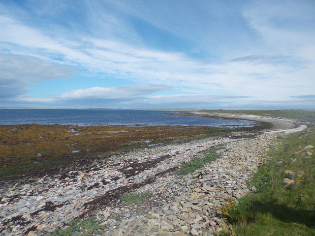
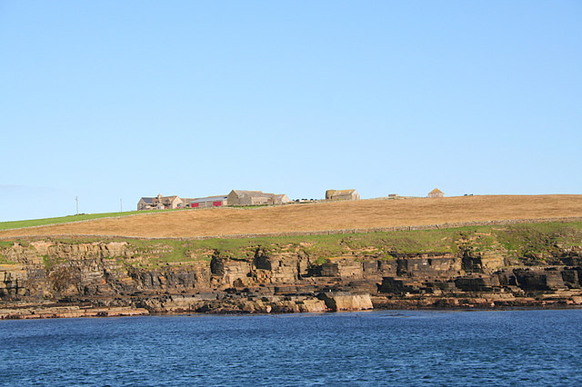
The summit of Stebb Hill provides visitors with a panoramic view of the surrounding Orkney islands, including the nearby island of Hoy and the famous Old Man of Hoy sea stack. On clear days, one can even catch a glimpse of the Scottish mainland in the distance.

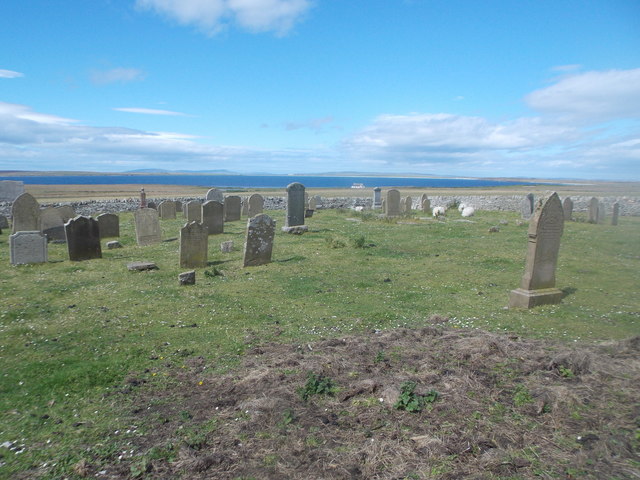
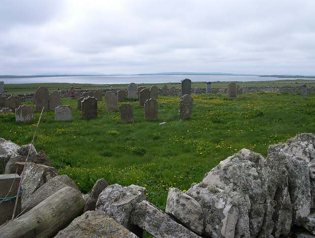
Apart from its natural beauty, Stebb Hill has historical significance. The hill is home to a Neolithic chambered cairn, known as the Cuween Hill Chambered Cairn. This ancient burial site, dating back over 5,000 years, contains a passage leading to a central chamber where human remains were found.

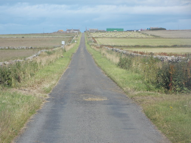
Visitors to Stebb Hill can explore the nearby archaeological site and marvel at the craftsmanship of the ancient tomb. The hill is accessible via a well-marked trail, making it a popular destination for hikers and nature enthusiasts.

Stebb Hill in Orkney offers a perfect blend of natural beauty and cultural heritage, making it a must-visit destination for those seeking to explore the rich history and stunning landscapes of the Orkney islands.

If you have any feedback on the listing, please let us know in the comments section below.
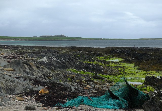
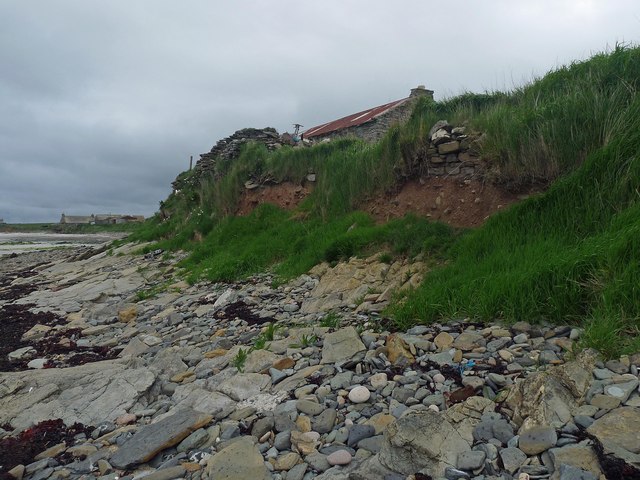
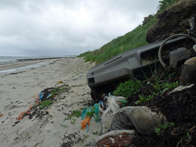
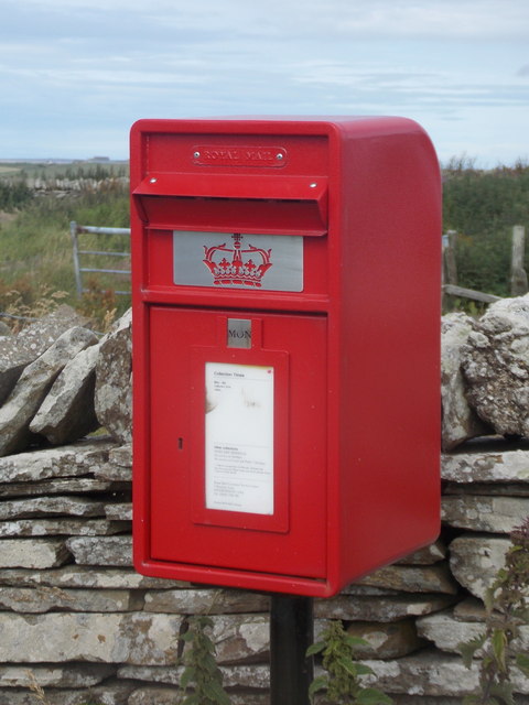
Stebb Hill Images

Images are sourced within 2km of 59.095451/-2.5904726 or Grid Reference HY6623. Thanks to Geograph Open Source API. All images are credited.

Coastline, Holland Bay, Stronsay, Orkney Looking along the bay towards Holland Farm.
Coastline, Holland Bay, Stronsay, Orkney
Looking along the bay towards Holland Farm.
Settlement mound, Lower Dishes, Stronsay, Orkney The drystone masonry exposed by coastal erosion below Lower Dishes farm is considered to be medieval to post-medieval (<span class="nowrap"><a title="http://canmore.rcahms.gov.uk/en/site/3358/details/stronsay+lower+dishes/" rel="nofollow ugc noopener" href="http://canmore.rcahms.gov.uk/en/site/3358/details/stronsay+lower+dishes/">Link</a><img style="margin-left:2px;" alt="External link" title="External link - shift click to open in new window" src="https://s1.geograph.org.uk/img/external.png" width="10" height="10"/></span> ).
Settlement mound, Lower Dishes, Stronsay, Orkney
The drystone masonry exposed by coastal erosion below Lower Dishes farm is considered to be medieval to post-medieval (LinkExternal link ).
Coastline, Bight of Aith, Stronsay, Orkney
Abandoned car on the beach, Bay of Holland, Stronsay, Orkney Anyone need parts for an Austin Maestro?
Abandoned car on the beach, Bay of Holland, Stronsay, Orkney
Anyone need parts for an Austin Maestro?
Stronsay: postbox № KW17 53, Everbay This postbox is of a modern design, constructed of pressed steel and designed to be more robust, rustproof and theft-proof than the traditional cast iron box that it will have replaced in the last couple of years.

This particular style of box is becoming quite commonplace in these remote, exposed parts.
Stronsay: postbox № KW17 53, Everbay
This postbox is of a modern design, constructed of pressed steel and designed to be more robust, rustproof and theft-proof than the traditional cast iron box that it will have replaced in the last couple of years. This particular style of box is becoming quite commonplace in these remote, exposed parts.
Stronsay: postbox № KW17 50, South School A Victorian postbox set into one of the pillars at the gateway of the old South School, now a private house.
Stronsay: postbox № KW17 50, South School
A Victorian postbox set into one of the pillars at the gateway of the old South School, now a private house.
Stronsay: the road to Holland Actually the road FROM Holland in this view.
Stronsay: the road to Holland
Actually the road FROM Holland in this view.
Stronsay: two seals As well as some very large groups of seals (see <a href="https://www.geograph.org.uk/photo/4713951">HY6521 : Stronsay: seals at the Bight of Scarma</a>), there were a few scattered all along the shore here. They were curious enough to turn their heads as I and another walked past, but on the whole didn't feel so threatened as to disappear.
Stronsay: two seals
As well as some very large groups of seals (see HY6521 : Stronsay: seals at the Bight of Scarma), there were a few scattered all along the shore here. They were curious enough to turn their heads as I and another walked past, but on the whole didn't feel so threatened as to disappear.
Stronsay: Bight of Scarma A small bay on the east side of Bay of Holland, seen at a low tide with lots of visible rocks. These are awash with seals - see for example <a href="https://www.geograph.org.uk/photo/4713951">HY6521 : Stronsay: seals at the Bight of Scarma</a>.
Stronsay: Bight of Scarma
A small bay on the east side of Bay of Holland, seen at a low tide with lots of visible rocks. These are awash with seals - see for example HY6521 : Stronsay: seals at the Bight of Scarma.
Stronsay: cemetery at Holland A quite large, square, walled cemetery opposite Holland Farm, with a few sheep grazing within.
Stronsay: cemetery at Holland
A quite large, square, walled cemetery opposite Holland Farm, with a few sheep grazing within.
Stronsay: postbox № KW17 129, Olivebank This postbox is of a modern design, constructed of pressed steel and designed to be more robust, rustproof and theft-proof than the traditional cast iron box that it will have replaced in the last couple of years.

It is one of four such boxes on the island and stands outside the Olivebank general stores.
Stronsay: postbox № KW17 129, Olivebank
This postbox is of a modern design, constructed of pressed steel and designed to be more robust, rustproof and theft-proof than the traditional cast iron box that it will have replaced in the last couple of years. It is one of four such boxes on the island and stands outside the Olivebank general stores.
On Stronsay - Path around Bay of Houseby - view towards Lamb Head
On Stronsay - Mid House & Scoulters
On Stronsay - View towards Meikle Water from near Eastbank
On Stronsay - Gories, Everbay
Holland Farm, Stronsay A substantial stone farm in the south of Stronsay with much of its land managed for wildlife.
Holland Farm, Stronsay
A substantial stone farm in the south of Stronsay with much of its land managed for wildlife.
Cemetery at Holland Farm Looking across the cemetery over the Bay of Holland
Cemetery at Holland Farm
Looking across the cemetery over the Bay of Holland
Show me another place!

Stebb Hill is located at Grid Ref: HY6623 (Lat: 59.095451, Lng: -2.5904726)

Unitary Authority: Orkney Islands

Police Authority: Highlands and Islands

What 3 Words

///looks.branching.pulsing. Near Whitehall, Orkney Islands

Nearby Locations

Dishes Stebb Hill

Related Wikis

Stronsay

Stronsay () is an island in Orkney, Scotland. It is known as Orkney's 'Island of Bays', owing to an irregular shape with miles of coastline, with three...

Odness

Odness is a peninsula and headland on the island of Stronsay, in Orkney, Scotland. The Odness peninsula contains the farm of Odiness. Odness is also within...

Whitehall, Orkney

Whitehall is the village on the island of Stronsay, in the Orkney Islands of Scotland. It is a small village with about 50 houses. It also has a shop...

Papa Stronsay

Papa Stronsay (Scots: Papa Stronsee; Old Norse: Papey Minni) is a small island in Orkney, Scotland, lying north east of Stronsay. It is 74 hectares (183...

Sons of the Most Holy Redeemer

The Congregation of the Sons of the Most Holy Redeemer (Latin: Filii Sanctissimi Redemptoris; FSSR), commonly known as the Transalpine Redemptorists or...

Linga Holm

Linga Holm, commonly known as Linga, Midgarth and the Holm of Midgarth is an uninhabited Scottish island extending to approximately 57 hectares (0.22...

Linga Sound, Orkney

Linga Sound is the strait between the islands of Linga Holm and Stronsay in the Orkney islands of Scotland. It leads into St. Catherines Bay from the north...

Auskerry

Auskerry (Scots: Soond; Old Norse: Austrsker, east skerry) is a small island in eastern Orkney, Scotland. It lies in the North Sea south of Stronsay and...

Nearby Amenities

Located within 500m of 59.095451,-2.5904726
Power: pole
Lat/Long: 59.0959938/-2.5833433
Power: pole
Lat/Long: 59.0957478/-2.5828867
Power: pole
Lat/Long: 59.0955018/-2.5823821
Power: pole
Lat/Long: 59.0952541/-2.5818776
Power: pole
Lat/Long: 59.0977307/-2.58342
Power: pole
Lat/Long: 59.0982703/-2.5845313
Power: pole
Lat/Long: 59.0972321/-2.5844163
Power: pole
Lat/Long: 59.0967221/-2.5854287
Power: pole
Lat/Long: 59.0965974/-2.5868721
Power: pole
Lat/Long: 59.0965039/-2.5879515
Power: pole
Lat/Long: 59.0963826/-2.5892831
Power: pole
Lat/Long: 59.096312/-2.5902731
Power: pole
Lat/Long: 59.0962841/-2.5917038
Power: pole
Lat/Long: 59.096253/-2.5927161
Power: pole
Lat/Long: 59.0962382/-2.5937348
Power: pole
Lat/Long: 59.0962103/-2.5948908
Power: pole
Lat/Long: 59.0961874/-2.5958968
Power: pole
Lat/Long: 59.0961283/-2.5978959
Power: pole
Lat/Long: 59.0954969/-2.5948429
Power: pole
Lat/Long: 59.0950458/-2.5948046
Power: pole
Lat/Long: 59.094329/-2.5947503
Power: pole
Lat/Long: 59.0988246/-2.585641
Power: pole
Lat/Long: 59.099292/-2.5866406
Power: pole
Lat/Long: 59.0991346/-2.5880361
Generator Method: wind_turbine
Generator Source: wind
Power: generator
Lat/Long: 59.0998007/-2.5884488
The data included in this document is from www.openstreetmap.org. The data is made available under ODbL.

Have you been to Stebb Hill?

Leave your review of Stebb Hill below (or comments, questions and feedback).