Tinnis Hill

Hill, Mountain in Roxburghshire

Scotland

Tinnis Hill

Beside the Shaw Burn An unplanted strip between the burn and conifers. The ground is damp and grass/meadowsweet long.  Across the burn there is a more recent plantation.
Beside the Shaw Burn Credit: Richard Webb

The requested URL returned error: 429 Too Many Requests

If you have any feedback on the listing, please let us know in the comments section below.
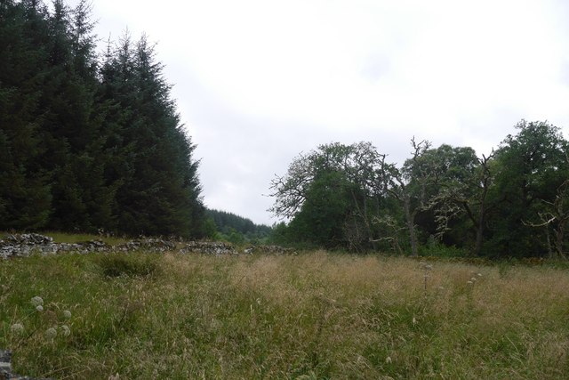
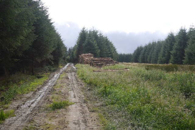
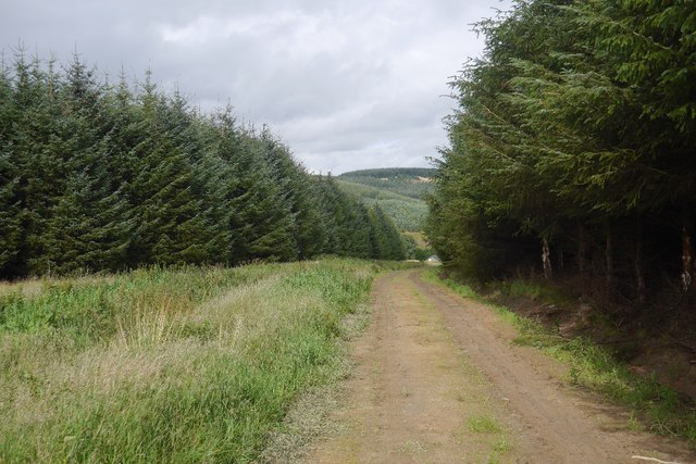
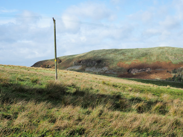
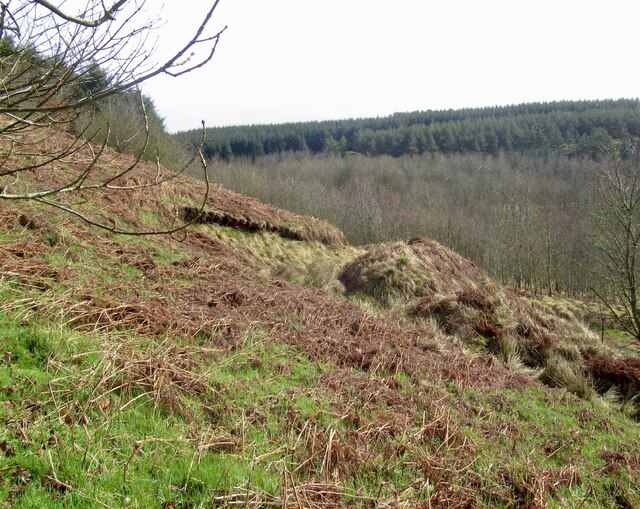
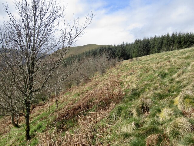
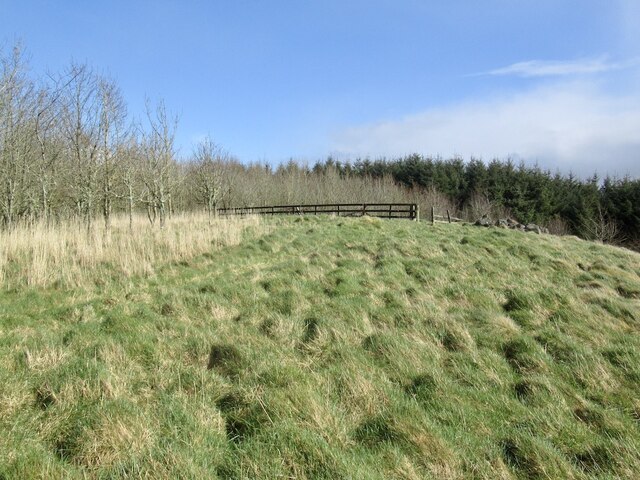
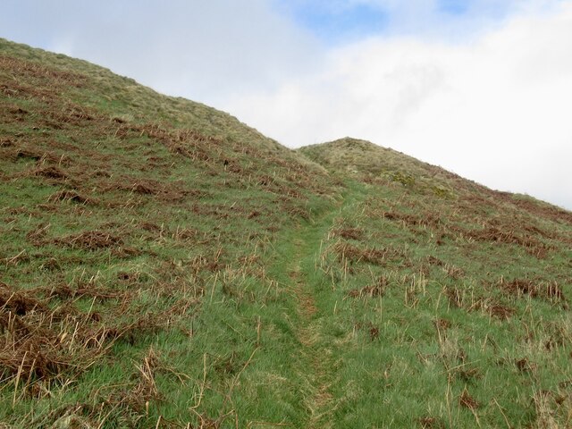
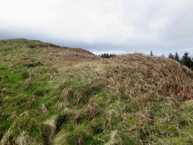
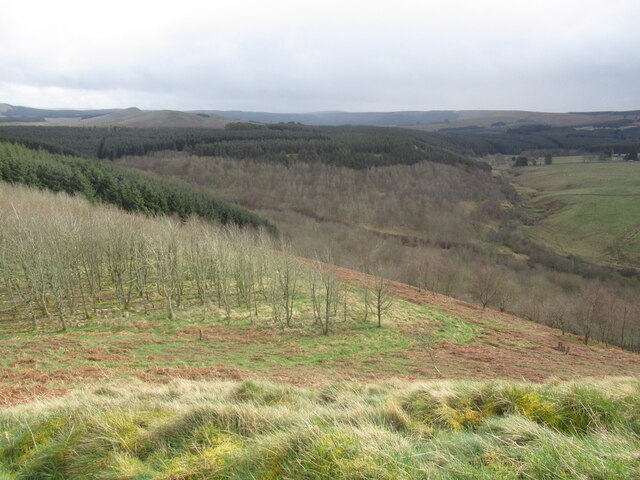
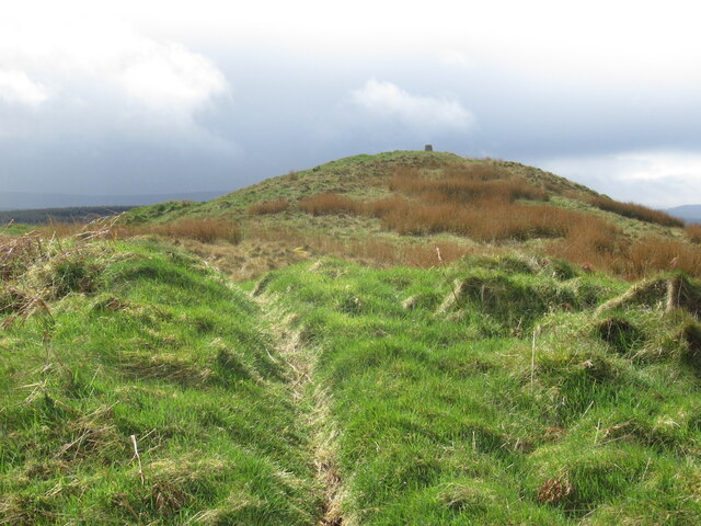
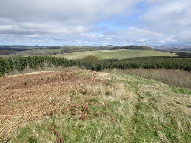
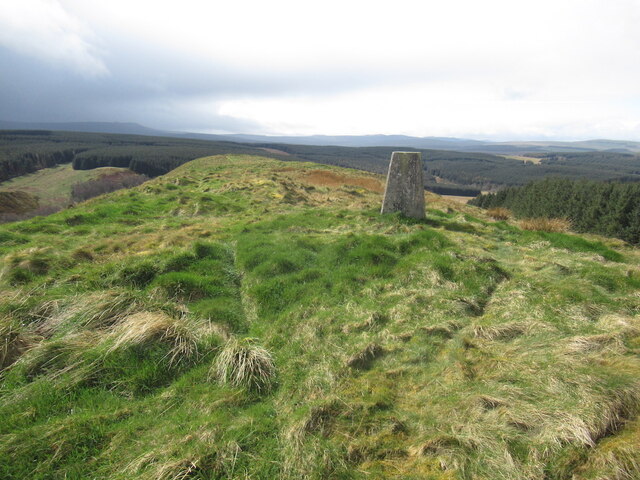
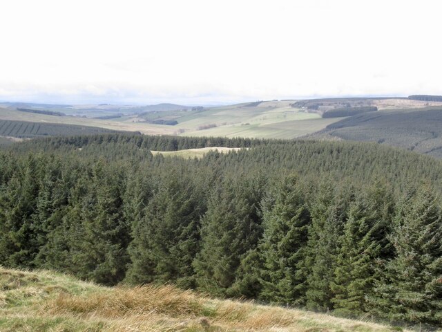
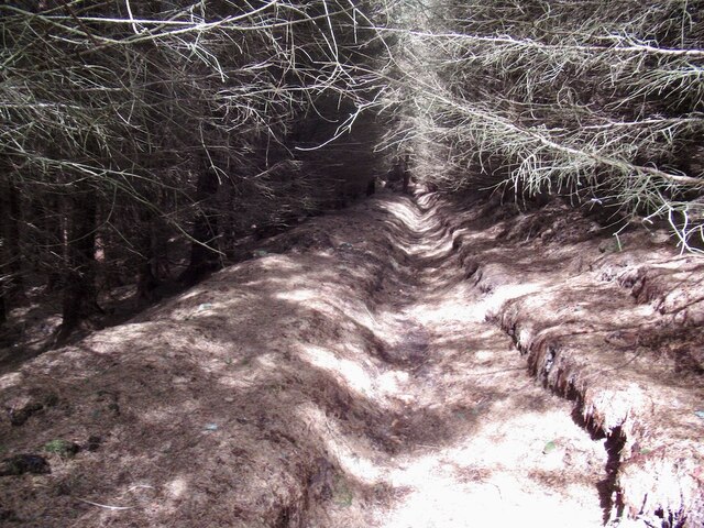
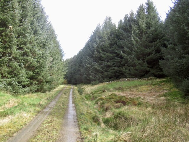
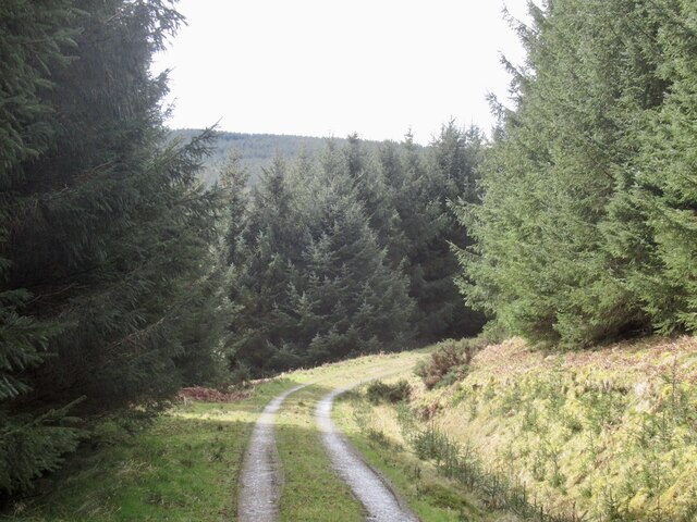
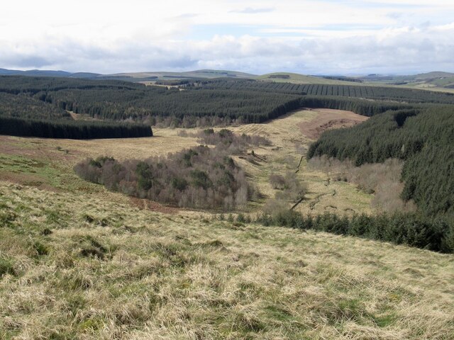
Tinnis Hill Images

Images are sourced within 2km of 55.391294/-2.5340542 or Grid Reference NT6610. Thanks to Geograph Open Source API. All images are credited.

Beside the Shaw Burn An unplanted strip between the burn and conifers. The ground is damp and grass/meadowsweet long.  Across the burn there is a more recent plantation.
Beside the Shaw Burn
An unplanted strip between the burn and conifers. The ground is damp and grass/meadowsweet long. Across the burn there is a more recent plantation.
Logging road, Waterside Thinning in progress in the woodlands south of the Jed Water. All through the struggle along the riverbank I could hear machinery at work somewhere in the forest and was worried about getting out along this road.  After a delay for a puncture repair I was able to get through with the work taking place in the trees to the left.

The road was rather muddy.
Logging road, Waterside
Thinning in progress in the woodlands south of the Jed Water. All through the struggle along the riverbank I could hear machinery at work somewhere in the forest and was worried about getting out along this road. After a delay for a puncture repair I was able to get through with the work taking place in the trees to the left. The road was rather muddy.
Road to Waterside A forest road which was being used in thinning operations and also gives access to a building beside the Jed Water.
Road to Waterside
A forest road which was being used in thinning operations and also gives access to a building beside the Jed Water.
Shaw Craigs Shaw Craigs, the farther ridge, rises to 300 metres; there's a trig point at the summit. The view is from a minor road connecting the A6088 and the A68.
Shaw Craigs
Shaw Craigs, the farther ridge, rises to 300 metres; there's a trig point at the summit. The view is from a minor road connecting the A6088 and the A68.
Track, Shaw Craigs On the southern slope of the hill which is lightly wooded. It is easy to get up to open land (the map is wrong here) around the summit ridge from here.
Track, Shaw Craigs
On the southern slope of the hill which is lightly wooded. It is easy to get up to open land (the map is wrong here) around the summit ridge from here.
Woodland edge, Shaw Craigs There is more open land on the hill than shown by the Ordnance Survey.
Woodland edge, Shaw Craigs
There is more open land on the hill than shown by the Ordnance Survey.
Former sheep walk, Shaw Craigs The hill was planted with trees around about 2000.
Former sheep walk, Shaw Craigs
The hill was planted with trees around about 2000.
Path on Shaw Craigs The sheep are gone but the fort and its views must still attract a few walkers. There is a good path along the ridge.
Path on Shaw Craigs
The sheep are gone but the fort and its views must still attract a few walkers. There is a good path along the ridge.
Rampart, Shaw Craigs One of two on the hill fort.
Rampart, Shaw Craigs
One of two on the hill fort.
Woodland, Shaw Craigs
Summit, Shaw Craigs
Summit, Shaw Craigs
Shaw Craigs View northeastwards from near the summit showing the hill fort ramparts.
Shaw Craigs
View northeastwards from near the summit showing the hill fort ramparts.
Summit, White Craig A fine, easily reached viewpoint.
Summit, White Craig
A fine, easily reached viewpoint.
White Hill View from Shaw Craig with the summit clearing just about visible above the trees.
White Hill
View from Shaw Craig with the summit clearing just about visible above the trees.
Ditch in the Sitka A useful way through the spiky stuff.
Ditch in the Sitka
A useful way through the spiky stuff.
Between White Hill and Shaw Craigs It was easy to get up White Hill from here as the trees were well spaced. They will be felled soon.
Between White Hill and Shaw Craigs
It was easy to get up White Hill from here as the trees were well spaced. They will be felled soon.
Logging road beneath White Hill
View down the Shaw Burn From the ridge on Shaw Craig.
View down the Shaw Burn
From the ridge on Shaw Craig.
Show me another place!

Tinnis Hill is located at Grid Ref: NT6610 (Lat: 55.391294, Lng: -2.5340542)

Unitary Authority: The Scottish Borders

Police Authority: The Lothians and Scottish Borders

What 3 Words

///trunk.burden.unlimited. Near Jedburgh, Scottish Borders

Related Wikis

Edgerston

Edgerston is a village and an estate about 4 miles (6.4 km) north of the Anglo-Scottish border, and 8 miles (13 km) south of Jedburgh in the Scottish Borders...

Camptown, Scottish Borders

Camptown is a small settlement on the A68, in the Scottish Borders area of Scotland, 5m (8 km) south of Jedburgh, and the same distance south to Carter...

Southdean

Southdean is a hamlet in the Scottish Borders area of Scotland, on the A6088, by the Jed Water and in the Wauchope Forest area. Other settlements nearby...

Scottish Borders

The Scottish Borders (Scots: the Mairches, lit. 'the Marches'; Scottish Gaelic: Crìochan na h-Alba) is one of 32 council areas of Scotland. It is bordered...

Nearby Amenities

Located within 500m of 55.391294,-2.5340542
The data included in this document is from www.openstreetmap.org. The data is made available under ODbL.

Have you been to Tinnis Hill?

Leave your review of Tinnis Hill below (or comments, questions and feedback).