Wind Scarth
Hill, Mountain in Westmorland Eden
England
Wind Scarth
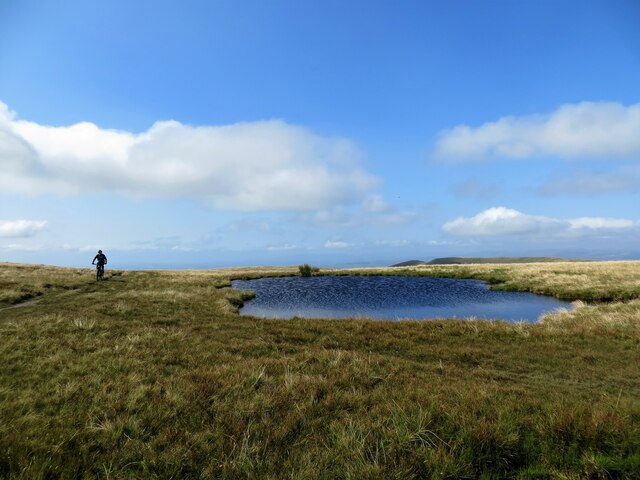
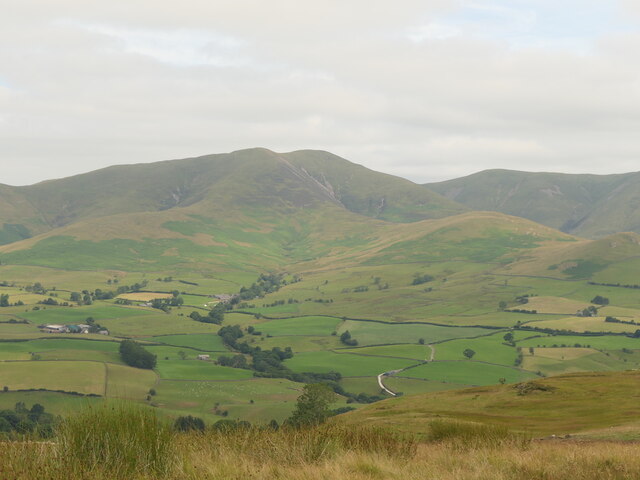
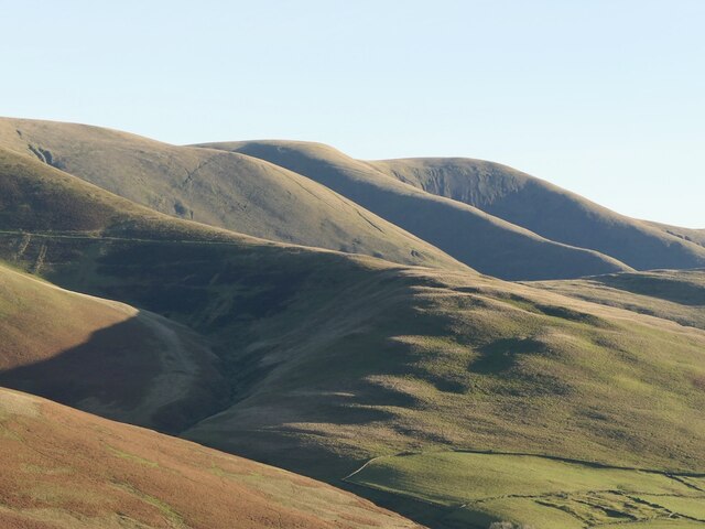
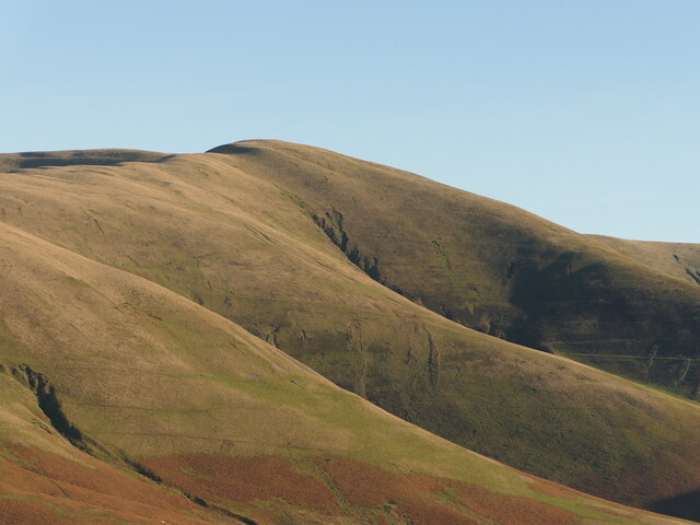
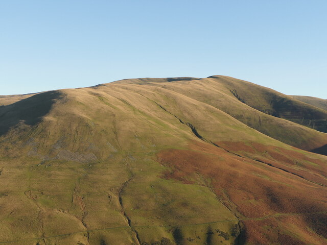
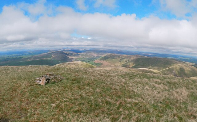
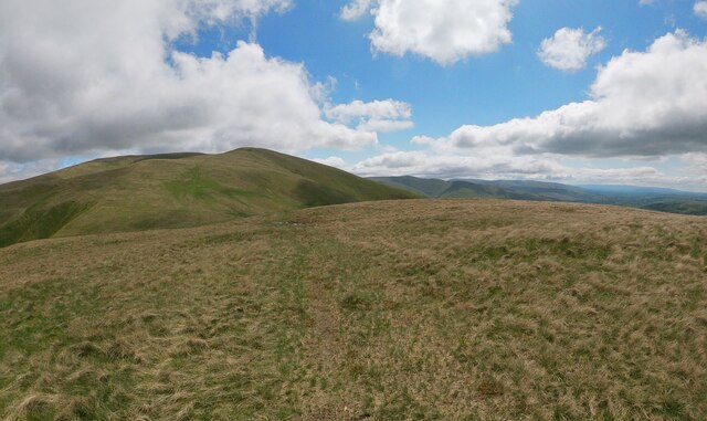
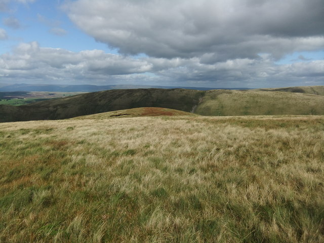
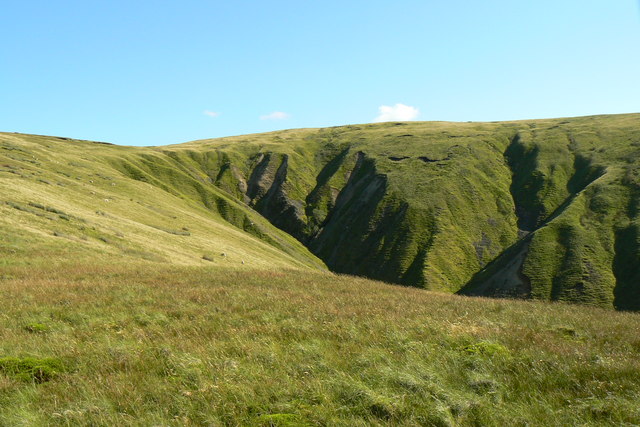
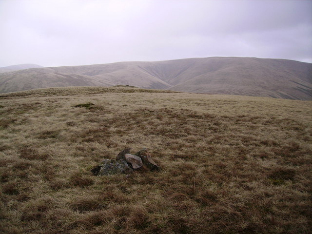
Wind Scarth is a prominent hill located in the county of Westmorland, England. Standing at an elevation of approximately 600 meters (1,968 feet), it is considered one of the notable mountains in the region. Situated in the Lake District National Park, Wind Scarth offers breathtaking panoramic views of the surrounding picturesque landscapes.
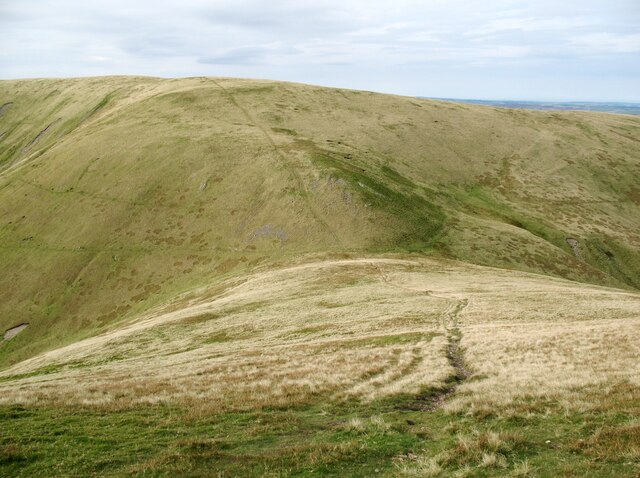
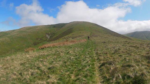
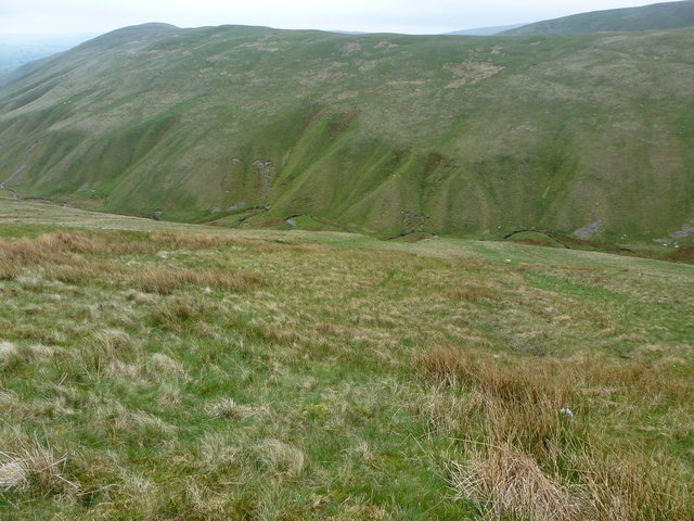
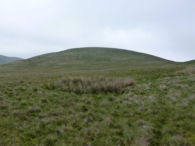
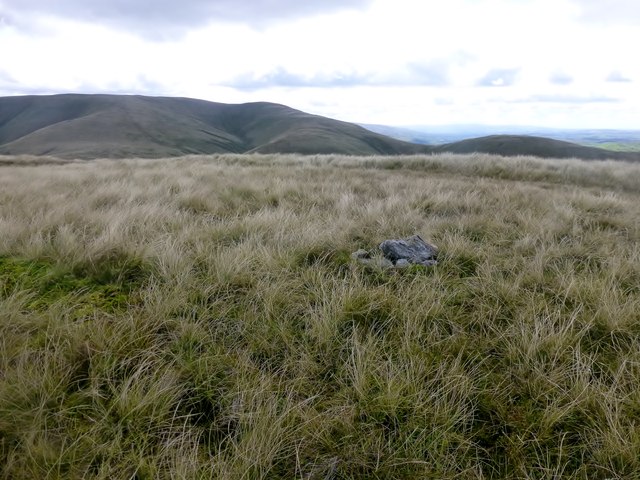
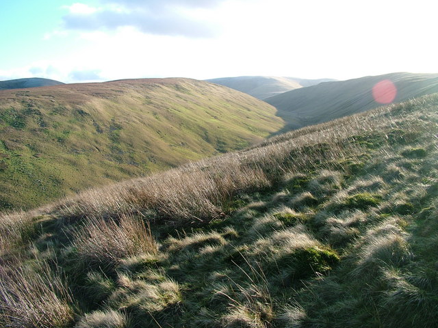
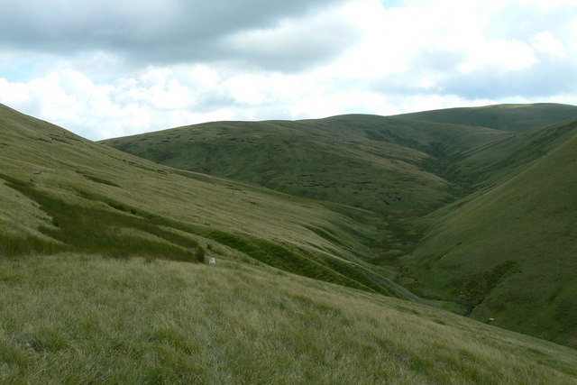
The hill is characterized by its rugged and rocky terrain, making it a popular destination for hikers and outdoor enthusiasts. Its challenging slopes and steep ascents attract experienced climbers who seek an adrenaline rush and a thrilling adventure. The summit provides a stunning vantage point, allowing visitors to marvel at the beauty of the Lake District and its natural wonders.
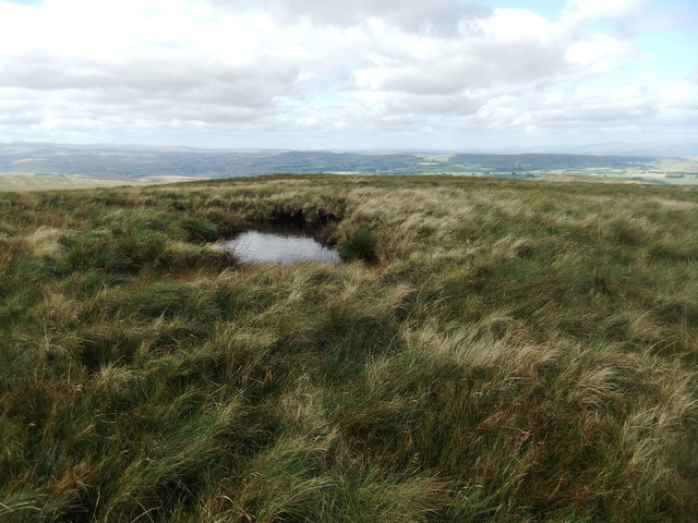
Wind Scarth is home to a diverse range of flora and fauna, with its slopes adorned with vibrant heather, mosses, and grasses. The hill provides a habitat for various bird species, including peregrine falcons, buzzards, and ravens, making it a haven for birdwatchers.
The accessibility to Wind Scarth is facilitated by well-maintained footpaths and trails, ensuring a safe and enjoyable experience for visitors. The hill is easily reachable from nearby villages and towns, offering a convenient escape into nature for both locals and tourists.
Overall, Wind Scarth is a captivating hill in Westmorland, renowned for its striking beauty, challenging hiking routes, and breathtaking vistas. It is a must-visit destination for those seeking to explore the natural wonders of the Lake District.
If you have any feedback on the listing, please let us know in the comments section below.
Wind Scarth Images
Images are sourced within 2km of 54.383495/-2.5309512 or Grid Reference SD6598. Thanks to Geograph Open Source API. All images are credited.
Wind Scarth is located at Grid Ref: SD6598 (Lat: 54.383495, Lng: -2.5309512)
Administrative County: Cumbria
District: Eden
Police Authority: Cumbria
What 3 Words
///madness.forgiving.giggled. Near Sedbergh, Cumbria
Nearby Locations
Related Wikis

The Calf
The Calf, at an elevation of 676 metres (2,218 ft), is the highest point in the Howgill Fells, an area of high ground in north-west England. It is in the...

Howgill Fells
The Howgill Fells are uplands in Northern England between the Lake District and the Yorkshire Dales, lying roughly within a triangle formed by the town...

Yarlside
Yarlside is a hill in the Howgill Fells, Cumbria (historically Westmorland), England. This fell is not to be confused with the Yarlside area near Barrow...

Calders (Yorkshire Dales)
Calders is a summit of 2,211 feet (674 m) in the Howgill Fells, Cumbria, England. It lies about 2⁄3 mile (1 km) south east of the summit of The Calf and...
Randygill Top
Randygill Top is a mountain located in the Howgill Fells, Cumbria (historically Westmorland), England. == References ==

Low Gill railway station
Low Gill railway station served the hamlet of Lowgill, Westmorland (now in Cumbria), England, from 1846 to 1966 on the Lancaster and Carlisle Railway....

Holy Trinity Church, Howgill
Holy Trinity Church stands in a country lane near the hamlet of Howgill, between Sedbergh and Tebay, Cumbria, England. It is an active Anglican church...

Firbank
Firbank is a village and civil parish in the South Lakeland district of the English county of Cumbria. It has a population of 97. As Firbank had a population...
Nearby Amenities
Located within 500m of 54.383495,-2.5309512Have you been to Wind Scarth?
Leave your review of Wind Scarth below (or comments, questions and feedback).