Bleak Tongue
Downs, Moorland in Yorkshire South Lakeland
England
Bleak Tongue
Bleak Tongue is a small village located in the heart of Yorkshire, England. Situated on the edge of the Yorkshire Downs and surrounded by vast stretches of moorland, the village is known for its breathtaking natural beauty and tranquil atmosphere.
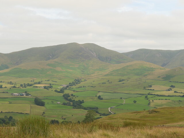
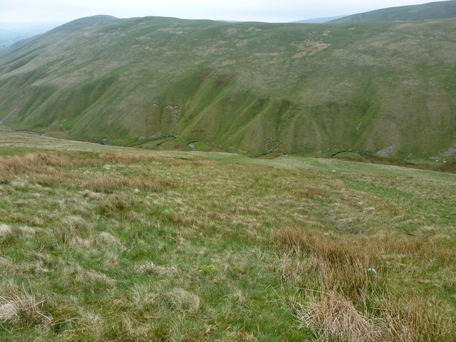
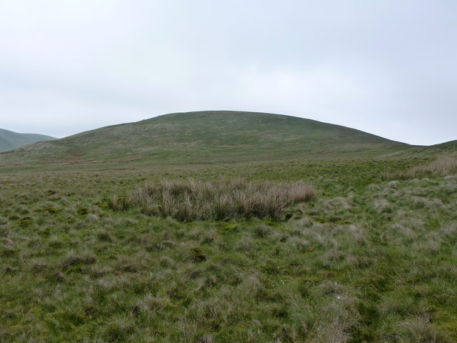
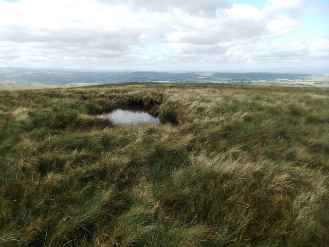
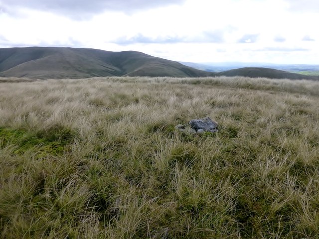
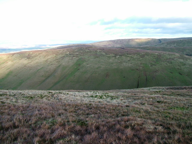
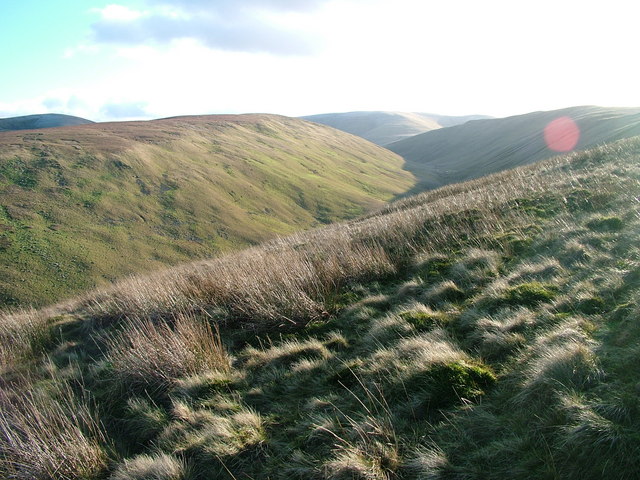
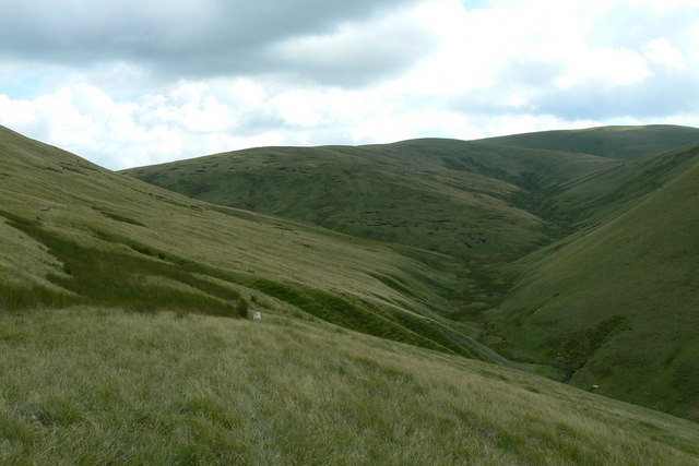
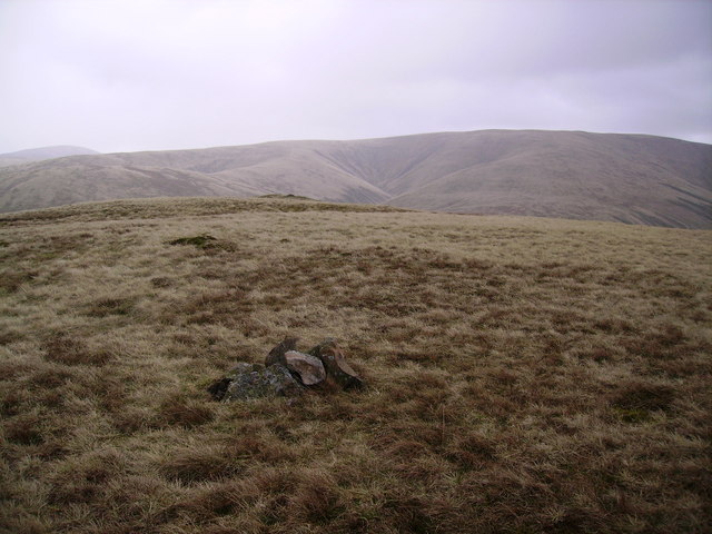
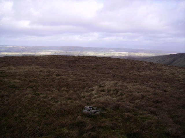
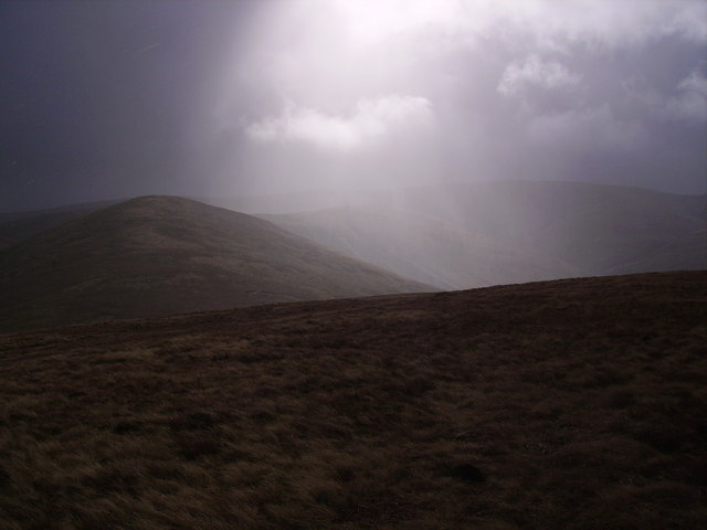
The Yorkshire Downs, with their rolling hills and picturesque landscapes, provide a stunning backdrop to the village. The area is a haven for nature lovers and outdoor enthusiasts, offering numerous opportunities for hiking, cycling, and exploring the surrounding countryside. The moorland, characterized by its expansive open spaces and rugged terrain, adds to the wild and untamed charm of the region.
Bleak Tongue itself is a close-knit community, with a population of around 500 residents. The village is dotted with charming stone cottages, some dating back several centuries, giving it a timeless and traditional feel. The local pub, The Moorland Arms, serves as a popular gathering spot for villagers and visitors alike, offering a warm and friendly atmosphere.
Despite its remote location, Bleak Tongue is well-connected to nearby towns and cities. The village is just a short drive away from the bustling market town of Skipton and is within easy reach of larger cities such as Leeds and Bradford.
Overall, Bleak Tongue is a hidden gem in the Yorkshire countryside, offering a peaceful retreat for those seeking solace in nature and a close-knit community atmosphere. Its stunning surroundings and traditional charm make it a truly idyllic destination for visitors and residents alike.
If you have any feedback on the listing, please let us know in the comments section below.
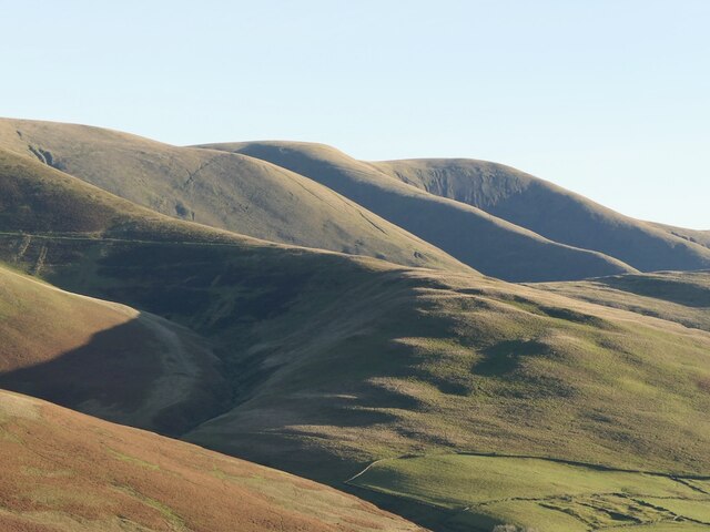
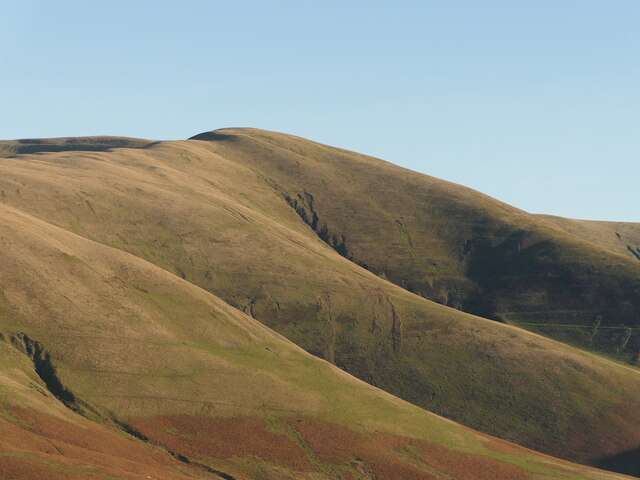
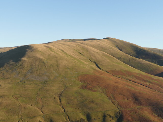
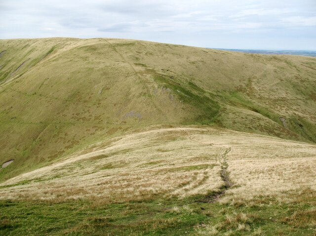
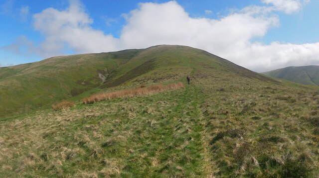
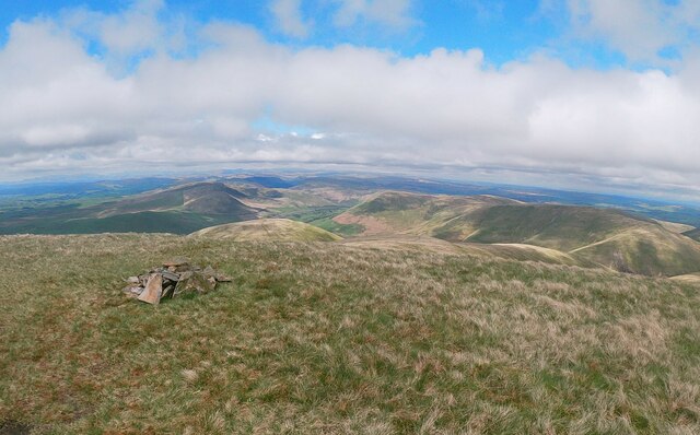
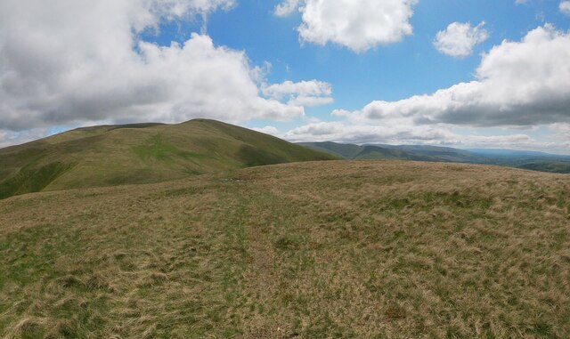
Bleak Tongue Images
Images are sourced within 2km of 54.382361/-2.537511 or Grid Reference SD6598. Thanks to Geograph Open Source API. All images are credited.
Bleak Tongue is located at Grid Ref: SD6598 (Lat: 54.382361, Lng: -2.537511)
Division: West Riding
Administrative County: Cumbria
District: South Lakeland
Police Authority: Cumbria
What 3 Words
///reservoir.broth.crisis. Near Sedbergh, Cumbria
Nearby Locations
Related Wikis

The Calf
The Calf, at an elevation of 676 metres (2,218 ft), is the highest point in the Howgill Fells, an area of high ground in north-west England. It is in the...

Howgill Fells
The Howgill Fells are uplands in Northern England between the Lake District and the Yorkshire Dales, lying roughly within a triangle formed by the town...

Low Gill railway station
Low Gill railway station served the hamlet of Lowgill, Westmorland (now in Cumbria), England, from 1846 to 1966 on the Lancaster and Carlisle Railway....

Calders (Yorkshire Dales)
Calders is a summit of 2,211 feet (674 m) in the Howgill Fells, Cumbria, England. It lies about 2⁄3 mile (1 km) south east of the summit of The Calf and...
Nearby Amenities
Located within 500m of 54.382361,-2.537511Have you been to Bleak Tongue?
Leave your review of Bleak Tongue below (or comments, questions and feedback).