Raisbeck Wood

Downs, Moorland in Westmorland Eden

England

Raisbeck Wood

Trig pillar on Knott 412m
Trig pillar on Knott 412m Credit: John Ferguson

Raisbeck Wood is a picturesque rural area located in Westmorland, a historic county in the northwest of England. Situated in the district of Eden, Raisbeck Wood is a part of the wider Raisbeck parish. The region, known for its natural beauty, is characterized by its rolling downs and moorland.

Covering an area of approximately 200 acres, Raisbeck Wood is a haven for wildlife and nature enthusiasts. The wood itself is predominantly comprised of broadleaf trees, including oak, ash, and birch, which create a lush and vibrant canopy. The diverse flora and fauna found within the wood provide a home to a wide range of species such as red squirrels, badgers, and a variety of birds.

The wood is intersected by several walking trails and footpaths, allowing visitors to explore its enchanting surroundings. These paths often offer stunning views of the surrounding countryside, with the fells and hills of the Lake District visible in the distance. Additionally, a small stream runs through the wood, adding to its overall charm.

Raisbeck Wood is a popular destination for outdoor activities such as hiking, birdwatching, and photography. Its tranquil atmosphere and untouched natural beauty make it an ideal location for those seeking a peaceful retreat away from the hustle and bustle of everyday life.

Overall, Raisbeck Wood in Westmorland is a captivating area that showcases the best of England's countryside, offering a serene and idyllic environment for both locals and visitors to enjoy.

If you have any feedback on the listing, please let us know in the comments section below.

Raisbeck Wood Images

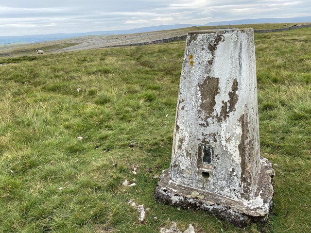
Images are sourced within 2km of 54.471472/-2.5386636 or Grid Reference NY6508. Thanks to Geograph Open Source API. All images are credited.
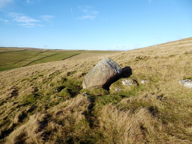
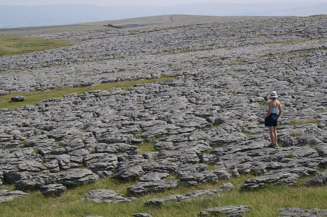
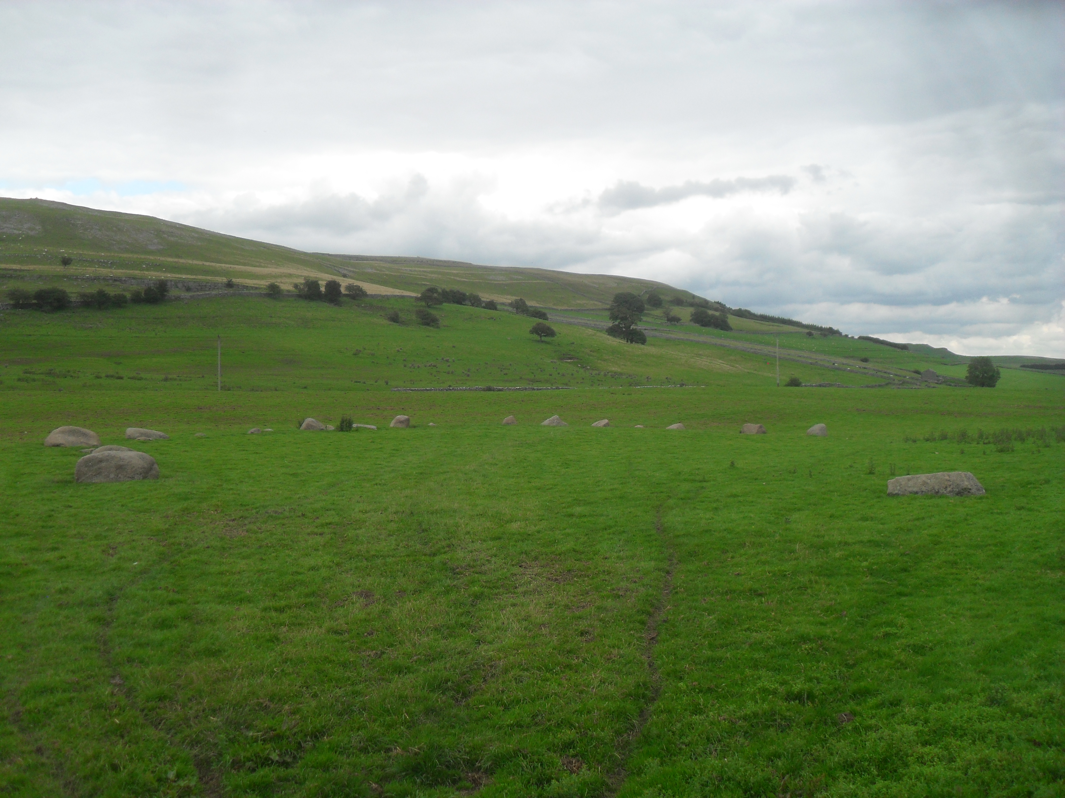
Trig pillar on Knott 412m
Triangulation pillar, Powson Knott The Ordnance Survey triangulation pillar on the summit of Powson Knott.
The flush bracket benchmark number 10674 on the west north west face of the pillar marks a height of 412.699m above sea level (Ordnance Datum Newlyn) last levelled in 1961 (photograph <a href="https://www.geograph.org.uk/photo/7075150">NY6409 : Flush Bracket benchmark, Powson Knott</a>).
Triangulation pillar, Powson Knott
The Ordnance Survey triangulation pillar on the summit of Powson Knott. The flush bracket benchmark number 10674 on the west north west face of the pillar marks a height of 412.699m above sea level (Ordnance Datum Newlyn) last levelled in 1961 (photograph NY6409 : Flush Bracket benchmark, Powson Knott).
Flush Bracket benchmark, Powson Knott Detail of the flush bracket benchmark on the Ordnance Survey triangulation pillar on the summit of Powson Knott. The flush bracket, benchmark number 10674, is on the west north west face of the pillar and marks a height of 412.699m above sea level (Ordnance Datum Newlyn), last levelled in 1961 (location photograph <a href="https://www.geograph.org.uk/photo/7075127">NY6409 : Triangulation pillar, Powson Knott</a>).
Flush Bracket benchmark, Powson Knott
Detail of the flush bracket benchmark on the Ordnance Survey triangulation pillar on the summit of Powson Knott. The flush bracket, benchmark number 10674, is on the west north west face of the pillar and marks a height of 412.699m above sea level (Ordnance Datum Newlyn), last levelled in 1961 (location photograph NY6409 : Triangulation pillar, Powson Knott).
Wind blown hawthorns Growing through outcropping limestone, these isolated hawthorn trees near the summit of Powson Knott leave no doubt about the direction of the prevailing south-west wind.
Most of the extensive limestone pavement on Beacon Hill in the background has been destroyed; stripped to be sold commercially as ornamental stone.
Wind blown hawthorns
Growing through outcropping limestone, these isolated hawthorn trees near the summit of Powson Knott leave no doubt about the direction of the prevailing south-west wind. Most of the extensive limestone pavement on Beacon Hill in the background has been destroyed; stripped to be sold commercially as ornamental stone.
Sheep near Scarside Mule sheep near Scarside.
Sheep near Scarside
Mule sheep near Scarside.
Scarside The minor road to Friar Biggins runs past the farm at Scarside.
Scarside
The minor road to Friar Biggins runs past the farm at Scarside.
Glacial erratic, Knott This rounded boulder of Shap granite rests upon the carboniferous limestone of Knott.
Glacial erratic, Knott
This rounded boulder of Shap granite rests upon the carboniferous limestone of Knott.
Gamelands Stone Circle The north east arc of the circle with the slopes of Knott on the skyline.
Gamelands Stone Circle
The north east arc of the circle with the slopes of Knott on the skyline.
Powson Knott Trig Point Flush Bracket 10674
Knott Lane
Knott Lane
Stone structure
Stone structure
Solitary tree viewed from Powson Knott
Limestone pavement near Powson Knott
Castle Folds "‌Stone-built remains of a Romano-British enclosed settlement containing hut circles, reused as a Medieval shieling."

‘Heritage Gateway - Results’. 2012. Heritagegateway.org.uk <<span class="nowrap"><a title="https://www.heritagegateway.org.uk/Gateway/Results_Single.aspx?uid=19a56ff5-bd5e-466f-9fd9-70ab22490715&resourceID=19191" rel="nofollow ugc noopener" href="https://www.heritagegateway.org.uk/Gateway/Results_Single.aspx?uid=19a56ff5-bd5e-466f-9fd9-70ab22490715&resourceID=19191">Link</a><img style="margin-left:2px;" alt="External link" title="External link - shift click to open in new window" src="https://s1.geograph.org.uk/img/external.png" width="10" height="10"/></span> > [accessed 12 October 2022]
Castle Folds
"‌Stone-built remains of a Romano-British enclosed settlement containing hut circles, reused as a Medieval shieling." ‘Heritage Gateway - Results’. 2012. Heritagegateway.org.uk <LinkExternal link > [accessed 12 October 2022]
Sheep with a blue smit mark
Lunch on a Limestone Pavement Lunch break on a limestone pavement, Great Asby Scar.  Umbrellas at the ready as a storm approaches from the Howgill Fells.  Looking from the northwest corner of the Great Asby Scar National Nature Reserve towards Castle Folds.  One of the best examples of massive limestone pavement in the UK - the Shining Stones - visible in far left background.
Lunch on a Limestone Pavement
Lunch break on a limestone pavement, Great Asby Scar. Umbrellas at the ready as a storm approaches from the Howgill Fells. Looking from the northwest corner of the Great Asby Scar National Nature Reserve towards Castle Folds. One of the best examples of massive limestone pavement in the UK - the Shining Stones - visible in far left background.
Looking across to the Quarry
Limestone Pavement Great Asby Scar
Show me another place!

Raisbeck Wood is located at Grid Ref: NY6508 (Lat: 54.471472, Lng: -2.5386636)

Administrative County: Cumbria

District: Eden

Police Authority: Cumbria

What 3 Words

///rocket.bounding.delay. Near Shap, Cumbria

Nearby Locations

Raisbeck Wood Sunbiggin

Related Wikis

Great Asby Scar

Great Asby Scar is a Site of Special Scientific Interest (SSSI) and National Nature Reserve in Cumbria, UK. It is an area of limestone pavement, south...

Sunbiggin

Sunbiggin is a hamlet in the civil parish of Orton, in the Westmorland and Furness district, in the ceremonial county of Cumbria, England. == Location... ==

Gamelands stone circle

Gamelands stone circle (or Orton stone circle) is a stone circle at the foot of Knott Hill in Cumbria, England. The stones are mostly made of red granite...

Raisbeck

Raisbeck is a hamlet in the civil parish of Orton, in the Westmorland and Furness district of Cumbria, England. The surname Raisbeck originates from the...

Nearby Amenities

Located within 500m of 54.471472,-2.5386636
Bus Stop
Bench: no
Bin: no
Fixme: Needs verification
Naptan AtcoCode: 090074531421
Naptan Bearing: N
Naptan BusStopType: CUS
Naptan CommonName: Acres
Naptan Indicator: o/s
Naptan Landmark: Acres
Naptan NaptanCode: cumdatwm
Naptan Street: No name
Naptan Verified: no
Shelter: no
Source: naptan_import
Tactile Paving: no
Lat/Long: 54.4685619/-2.5362137
tumulus
Historic: archaeological_site
Lat/Long: 54.4749758/-2.5363885
Material: wood
Power: pole
Lat/Long: 54.4690028/-2.5326813
Material: wood
Power: pole
Lat/Long: 54.4684825/-2.5338951
Material: wood
Power: pole
Lat/Long: 54.4679601/-2.5350975
Power: pole
Lat/Long: 54.4676889/-2.5362203
Power: pole
Lat/Long: 54.4674222/-2.53729
Power: pole
Lat/Long: 54.4671554/-2.5383787
Archaeological Site: tumulus
Historic: archaeological_site
Wikidata: Q17651084
Lat/Long: 54.4748467/-2.537536
The data included in this document is from www.openstreetmap.org. The data is made available under ODbL.

Have you been to Raisbeck Wood?

Leave your review of Raisbeck Wood below (or comments, questions and feedback).