Sunbiggin

Settlement in Westmorland Eden

England

Sunbiggin

Trig pillar on Knott 412m
Trig pillar on Knott 412m Credit: John Ferguson

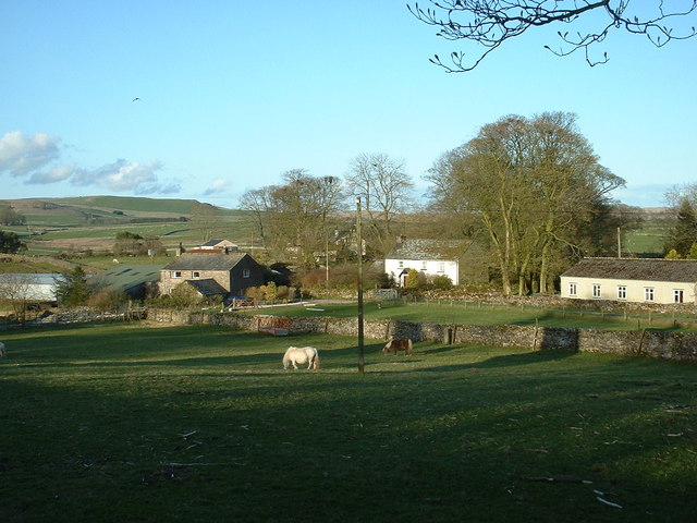
Sunbiggin, Westmorland, is a small village located in the county of Cumbria, England. Nestled in the picturesque Eden Valley, Sunbiggin is situated about 7 miles northeast of the market town of Kirkby Stephen.

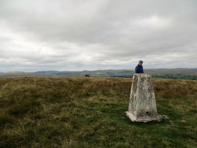
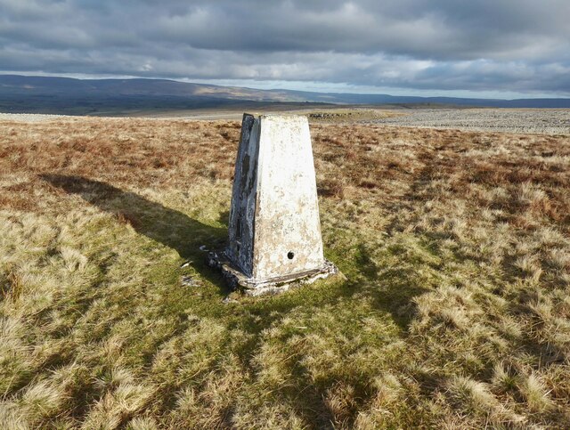
The village is known for its stunning natural beauty, with rolling green hills, meandering rivers, and breathtaking views of the surrounding countryside. It is a popular destination for outdoor enthusiasts, offering a range of activities such as hiking, cycling, and fishing. The nearby Sunbiggin Tarn, a small tarn or mountain lake, is a delightful spot for nature lovers and provides a peaceful setting for picnics and birdwatching.

Sunbiggin is a close-knit community with a population of around 100 residents. The village is characterized by its traditional stone-built cottages and charming gardens, which add to its idyllic rural charm. The local economy is largely dependent on agriculture and tourism, with some residents also commuting to nearby towns for work.

The village has limited amenities, with a small church, a village hall, and a few local businesses. For shopping and other services, residents typically rely on nearby towns. However, Sunbiggin's tranquility and close proximity to nature make it an attractive place for those seeking a quieter, more rural lifestyle.

Overall, Sunbiggin, Westmorland, offers a peaceful and scenic retreat for residents and visitors alike, with its stunning surroundings and community spirit adding to its appeal.

If you have any feedback on the listing, please let us know in the comments section below.
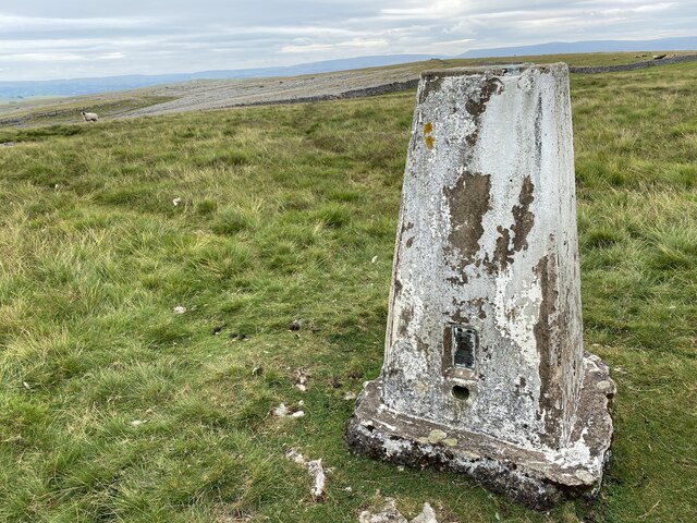
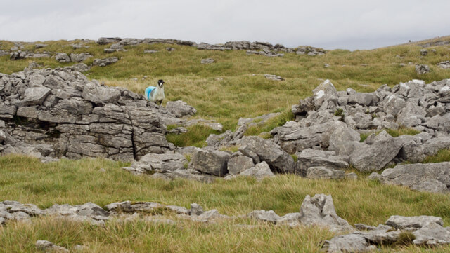
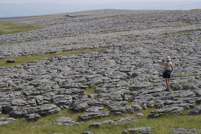
Sunbiggin Images

Images are sourced within 2km of 54.471791/-2.5273882 or Grid Reference NY6508. Thanks to Geograph Open Source API. All images are credited.

Trig pillar on Knott 412m
Triangulation pillar, Powson Knott The Ordnance Survey triangulation pillar on the summit of Powson Knott.
The flush bracket benchmark number 10674 on the west north west face of the pillar marks a height of 412.699m above sea level (Ordnance Datum Newlyn) last levelled in 1961 (photograph <a href="https://www.geograph.org.uk/photo/7075150">NY6409 : Flush Bracket benchmark, Powson Knott</a>).
Triangulation pillar, Powson Knott
The Ordnance Survey triangulation pillar on the summit of Powson Knott. The flush bracket benchmark number 10674 on the west north west face of the pillar marks a height of 412.699m above sea level (Ordnance Datum Newlyn) last levelled in 1961 (photograph NY6409 : Flush Bracket benchmark, Powson Knott).
Flush Bracket benchmark, Powson Knott Detail of the flush bracket benchmark on the Ordnance Survey triangulation pillar on the summit of Powson Knott. The flush bracket, benchmark number 10674, is on the west north west face of the pillar and marks a height of 412.699m above sea level (Ordnance Datum Newlyn), last levelled in 1961 (location photograph <a href="https://www.geograph.org.uk/photo/7075127">NY6409 : Triangulation pillar, Powson Knott</a>).
Flush Bracket benchmark, Powson Knott
Detail of the flush bracket benchmark on the Ordnance Survey triangulation pillar on the summit of Powson Knott. The flush bracket, benchmark number 10674, is on the west north west face of the pillar and marks a height of 412.699m above sea level (Ordnance Datum Newlyn), last levelled in 1961 (location photograph NY6409 : Triangulation pillar, Powson Knott).
Wind blown hawthorns Growing through outcropping limestone, these isolated hawthorn trees near the summit of Powson Knott leave no doubt about the direction of the prevailing south-west wind.
Most of the extensive limestone pavement on Beacon Hill in the background has been destroyed; stripped to be sold commercially as ornamental stone.
Wind blown hawthorns
Growing through outcropping limestone, these isolated hawthorn trees near the summit of Powson Knott leave no doubt about the direction of the prevailing south-west wind. Most of the extensive limestone pavement on Beacon Hill in the background has been destroyed; stripped to be sold commercially as ornamental stone.
Sheep near Scarside Mule sheep near Scarside.
Sheep near Scarside
Mule sheep near Scarside.
Glacial erratic, Knott This rounded boulder of Shap granite rests upon the carboniferous limestone of Knott.
Glacial erratic, Knott
This rounded boulder of Shap granite rests upon the carboniferous limestone of Knott.
Gamelands Stone Circle The north east arc of the circle with the slopes of Knott on the skyline.
Gamelands Stone Circle
The north east arc of the circle with the slopes of Knott on the skyline.
Powson Knott Trig Point Flush Bracket 10674
Stone structure
Stone structure
Solitary tree viewed from Powson Knott
Limestone pavement near Powson Knott
Castle Folds "‌Stone-built remains of a Romano-British enclosed settlement containing hut circles, reused as a Medieval shieling."

‘Heritage Gateway - Results’. 2012. Heritagegateway.org.uk <<span class="nowrap"><a title="https://www.heritagegateway.org.uk/Gateway/Results_Single.aspx?uid=19a56ff5-bd5e-466f-9fd9-70ab22490715&resourceID=19191" rel="nofollow ugc noopener" href="https://www.heritagegateway.org.uk/Gateway/Results_Single.aspx?uid=19a56ff5-bd5e-466f-9fd9-70ab22490715&resourceID=19191">Link</a><img style="margin-left:2px;" alt="External link" title="External link - shift click to open in new window" src="https://s1.geograph.org.uk/img/external.png" width="10" height="10"/></span> > [accessed 12 October 2022]
Castle Folds
"‌Stone-built remains of a Romano-British enclosed settlement containing hut circles, reused as a Medieval shieling." ‘Heritage Gateway - Results’. 2012. Heritagegateway.org.uk <LinkExternal link > [accessed 12 October 2022]
Sheep with a blue smit mark
Limestone pavement on Great Asby Scar
Dry stone wall by bridleway
Great Asby limestone pavement
Driveway to Ghyll Bank at Raisbeck
Tarn Moor Looking north to the better drained limestone hills.
Tarn Moor
Looking north to the better drained limestone hills.
Show me another place!

Sunbiggin is located at Grid Ref: NY6508 (Lat: 54.471791, Lng: -2.5273882)

Administrative County: Cumbria

District: Eden

Police Authority: Cumbria

What 3 Words

///shrimps.forklift.village. Near Kirkby Stephen, Cumbria

Nearby Locations

Sunbiggin Raisbeck Wood

Related Wikis

Sunbiggin

Sunbiggin is a hamlet in the civil parish of Orton, in the Westmorland and Furness district, in the ceremonial county of Cumbria, England. == Location... ==

Great Asby Scar

Great Asby Scar is a Site of Special Scientific Interest (SSSI) and National Nature Reserve in Cumbria, UK. It is an area of limestone pavement, south...

Raisbeck

Raisbeck is a hamlet in the civil parish of Orton, in the Westmorland and Furness district of Cumbria, England. The surname Raisbeck originates from the...

Sunbiggin Tarn

Sunbiggin Tarn is a tarn near Sunbiggin in Cumbria. It is in a Site of Special Scientific Interest (SSSI) which also includes the surrounding moorland...

Nearby Amenities

Located within 500m of 54.471791,-2.5273882
Access: yes
Barrier: entrance
Lat/Long: 54.4714438/-2.5268411
Access: yes
Barrier: entrance
Lat/Long: 54.4715238/-2.5260272
Sunbiggin
Place: hamlet
Wikidata: Q7638915
Lat/Long: 54.4715777/-2.5268421
Power: pole
Lat/Long: 54.4717007/-2.5264183
Material: wood
Power: pole
Lat/Long: 54.4712129/-2.5275421
Material: wood
Power: pole
Lat/Long: 54.4698867/-2.5306481
Material: wood
Power: pole
Lat/Long: 54.4690028/-2.5326813
Information: guidepost
Tourism: information
Lat/Long: 54.4717604/-2.5293394
Cafe
Sunbiggin Farm cafe
Description: honesty cafe and rest point
Outdoor Seating: yes
Lat/Long: 54.4718452/-2.5291706
The data included in this document is from www.openstreetmap.org. The data is made available under ODbL.

Have you been to Sunbiggin?

Leave your review of Sunbiggin below (or comments, questions and feedback).