Sunbury-on-Thames

Settlement in Middlesex Spelthorne

England

Sunbury-on-Thames

A244 Chertsey Road Heading north.
A244 Chertsey Road Credit: Robin Webster

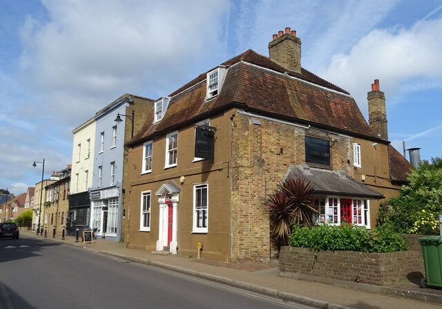
Sunbury-on-Thames is a suburban village located in the county of Middlesex, England. Situated on the banks of the River Thames, it lies approximately 16 miles southwest of central London. The village is part of the borough of Spelthorne and is bordered by the towns of Walton-on-Thames and Hampton to the east and west, respectively.

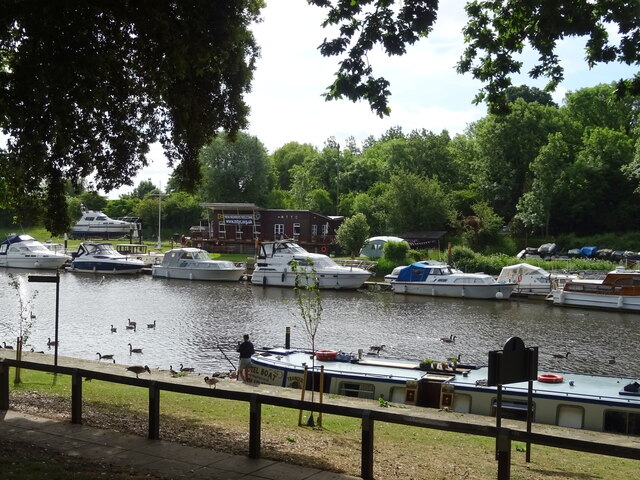
With a history dating back to the Roman era, Sunbury-on-Thames is rich in historical significance. One of its main attractions is the Sunbury Park, a large public park encompassing 175 acres of picturesque landscapes and woodlands. The park also houses the historic Sunbury House, an 18th-century mansion that is now used as a community center.

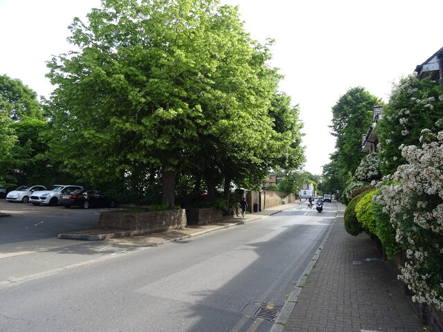
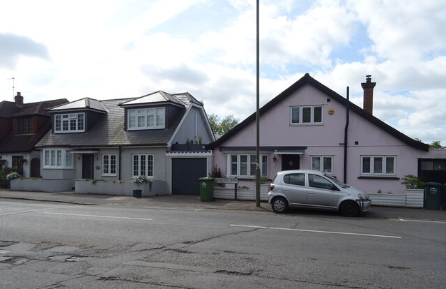
The village is known for its vibrant community spirit, with various local events and activities held throughout the year. Sunbury-on-Thames is home to several schools, both primary and secondary, ensuring quality education for its residents.

Transportation links are excellent, with Sunbury railway station providing regular services to London Waterloo, making it an attractive location for commuters. Additionally, the nearby M3 and M25 motorways offer convenient access to other parts of the country.

Sunbury-on-Thames offers a range of amenities, including shops, restaurants, and pubs, catering to the needs of its residents. The village also boasts a thriving local sports scene, with facilities for football, cricket, rugby, and golf, among other sports.

Overall, Sunbury-on-Thames combines its rich history, natural beauty, and excellent transport links to provide a desirable residential area with a strong sense of community.

If you have any feedback on the listing, please let us know in the comments section below.

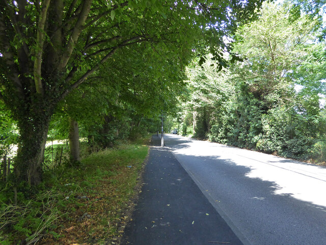
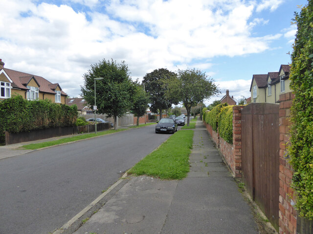
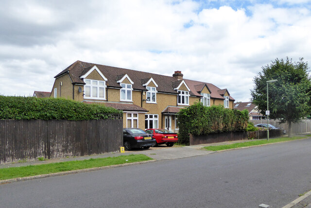
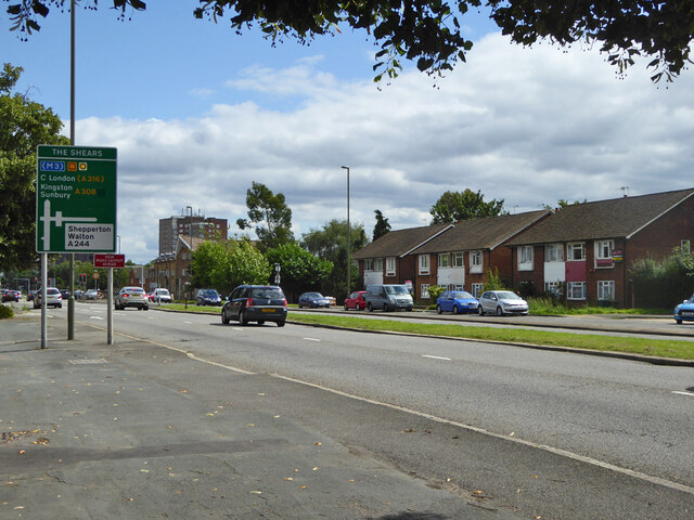
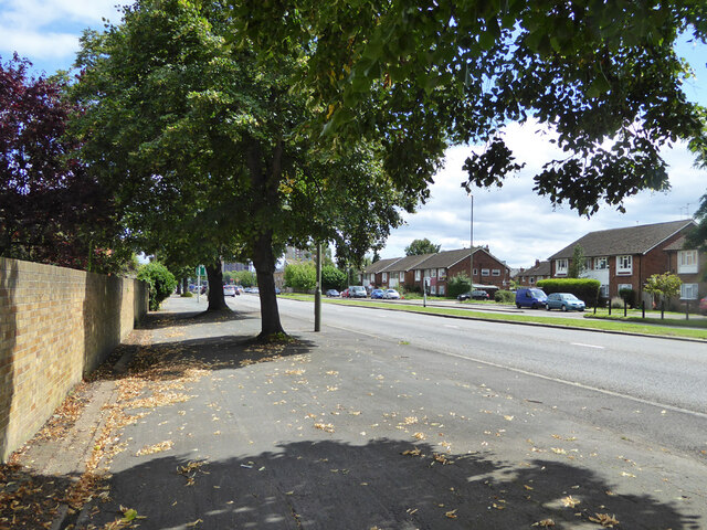
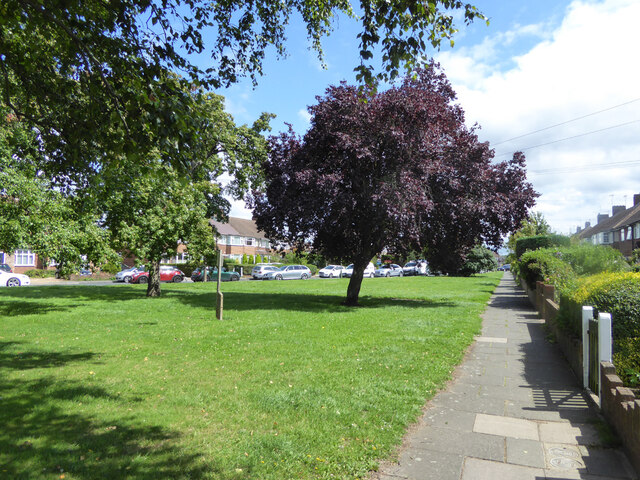
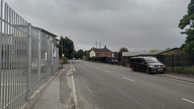
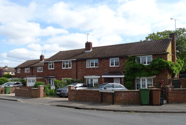
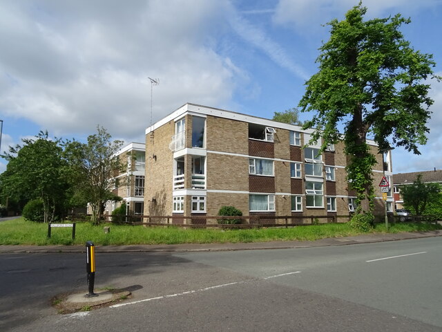
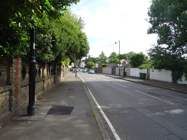
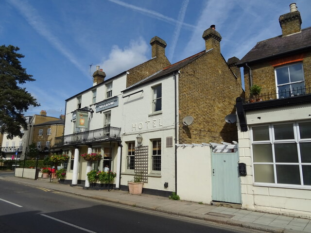
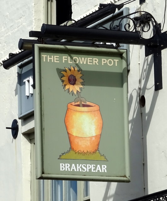
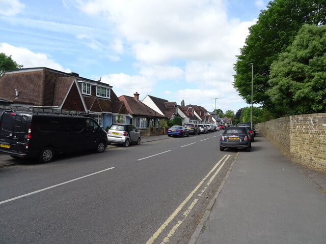
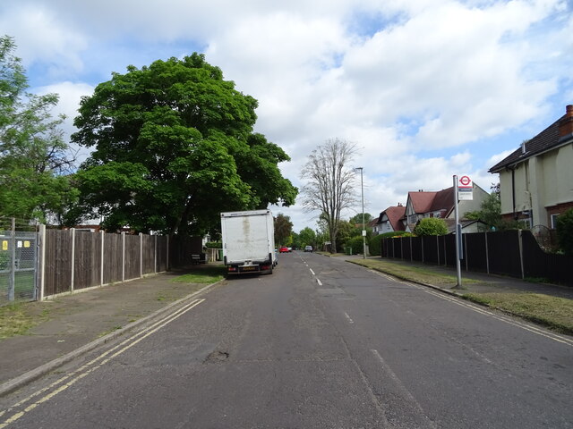
Sunbury-on-Thames Images

Images are sourced within 2km of 51.418715/-0.41838714 or Grid Reference TQ1070. Thanks to Geograph Open Source API. All images are credited.

A244 Chertsey Road Heading north.
A244 Chertsey Road
Heading north.
Scotts Way, Ashford Common
Houses on Scotts Way, Ashford Common
A308 Staines Road West Heading east.
A308 Staines Road West
Heading east.
A308 Staines Road West Heading east.
A308 Staines Road West
Heading east.
Path and green, Elgin Avenue
Ashford Road Close to the roundabout going towards Carlton.
Ashford Road
Close to the roundabout going towards Carlton.
Houses on Montford Road
Flats on Halliford Road
Thames Street, Sunbury
The Flower Pot, Sunbury On Thames Street.
See <a href="https://www.geograph.org.uk/photo/7298195">TQ1068 : Sign for the Flower Pot, Sunbury</a> for sign.
The Flower Pot, Sunbury
On Thames Street. See TQ1068 : Sign for the Flower Pot, Sunbury for sign.
Sign for the Flower Pot, Sunbury See <a href="https://www.geograph.org.uk/photo/7298193">TQ1068 : The Flower Pot, Sunbury</a> for context.
Sign for the Flower Pot, Sunbury
River Thames, Sunbury
Indian restaurant on Thames Street, Sunbury
Thames Street, Sunbury
Houses on Lower Hampton Road
Lower Hampton Road
Lower Hampton Road
Bus stop on Harfield Road
Show me another place!

Sunbury-on-Thames is located at Grid Ref: TQ1070 (Lat: 51.418715, Lng: -0.41838714)

Administrative County: Surrey

District: Spelthorne

Police Authority: Surrey

What 3 Words

///hood.grows.mostly. Near Sunbury-on-Thames, Surrey

Related Wikis

Sunbury railway station (Surrey)

Sunbury railway station serves the town of Sunbury-on-Thames, in the Spelthorne district of Surrey, England. It is 16 miles 64 chains (27.0 km) down the...

St Paul's College, Sunbury-on-Thames

St Paul's Catholic College is a coeducational Roman Catholic secondary school and sixth form located in Sunbury-on-Thames, Surrey, England. St Paul's is...

Sunbury Manor School

Sunbury Manor School is a secondary academy school in Sunbury-on-Thames, in Surrey, England. == Admissions == The school educates an overwhelmingly number...

Sunbury-on-Thames

Sunbury-on-Thames (or commonly Sunbury) is a town on the north bank of the River Thames in the Borough of Spelthorne, Surrey, centred 13 mi (21 km) southwest...

Nearby Amenities

Located within 500m of 51.418715,-0.41838714
Access: private
Barrier: lift_gate
Lat/Long: 51.4154901/-0.416434
Bus Stop
St Ignatius Church
Bus: yes
Naptan AtcoCode: 40004402057A
Naptan Bearing: N
Naptan CommonName: St Ignatius Church
Naptan Indicator: O/s
Naptan Landmark: St Ignatius Church
Naptan NaptanCode: surdjatg
Naptan Street: Green Street
Naptan Verified: no
Public Transport: platform
Ref: 76200
Source: naptan_import
Lat/Long: 51.4153294/-0.4186466
Bus Stop
St Ignatius Church
Naptan AtcoCode: 40004402057B
Naptan Bearing: S
Naptan CommonName: St Ignatius Church
Naptan Indicator: Opp
Naptan Landmark: St Ignatius Church
Naptan NaptanCode: surdjatj
Naptan Street: Green Street
Naptan Verified: no
Public Transport: platform
Ref: 77736
Source: naptan_import
Lat/Long: 51.4160443/-0.4187567
Bus Stop
Sunbury Station
Bus: yes
Naptan AtcoCode: 40004402058A
Naptan Bearing: N
Naptan CommonName: Green Street
Naptan Indicator: On
Naptan Landmark: Green Street
Naptan NaptanCode: surdjatw
Naptan Street: Green Street
Naptan Verified: no
Public Transport: platform
Ref: 74675
Source: naptan_import
Lat/Long: 51.4183725/-0.4191107
Green Street
Naptan AtcoCode: 40004402058B
Naptan Bearing: S
Naptan BusStopType: CUS
Naptan CommonName: Green Street
Naptan Indicator: S-bound
Naptan Landmark: Green Street
Naptan NaptanCode: surgtajg
Naptan Street: Green Street
Naptan Verified: no
Source: naptan_import
Lat/Long: 51.4182678/-0.4188961
Bus Stop
Wolsey Road
Naptan AtcoCode: 40004402063A
Naptan Bearing: N
Naptan CommonName: Wolsey Road
Naptan Indicator: Just after
Naptan Landmark: Wolsey Road
Naptan NaptanCode: surdjgdj
Naptan Street: Vicarage Road
Naptan Verified: no
Public Transport: platform
Source: naptan_import
Lat/Long: 51.4228985/-0.4193709
Bus Stop
Wolsey Road
Naptan AtcoCode: 40004402063B
Naptan Bearing: S
Naptan CommonName: Wolsey Road
Naptan Indicator: Opp
Naptan Landmark: Wolsey Road
Naptan NaptanCode: surdjgdm
Naptan Street: Vicarage Road
Naptan Verified: no
Public Transport: platform
Source: naptan_import
Lat/Long: 51.4224542/-0.4192577
Bus Stop
St Saviour's Church / Sunbury Cross
Naptan AtcoCode: 40004402064A
Naptan Bearing: N
Naptan CommonName: Sunbury Cross Shopping Centre
Naptan Indicator: Just after
Naptan Landmark: Vicarage Road
Naptan NaptanCode: surdjgdt
Naptan Street: Vicarage Road
Naptan Verified: no
Public Transport: platform
Ref: 52271
Source: naptan_import
Lat/Long: 51.4210893/-0.4193513
Bus Stop
St Saviour's Church / Sunbury Cross
Naptan AtcoCode: 40004402064B
Naptan Bearing: S
Naptan CommonName: Sunbury Cross Shopping Centre
Naptan Indicator: Just Before
Naptan Landmark: Vicarage Road
Naptan NaptanCode: surgpmap
Naptan Street: Vicarage Road
Naptan Verified: no
Public Transport: platform
Ref: 52685
Source: naptan_import
Lat/Long: 51.4207269/-0.419172
Bus Stop
Sunbury Cross
Bus: yes
Naptan AtcoCode: 40004402064C
Naptan Bearing: E
Naptan CommonName: Sunbury Cross Shopping Centre
Naptan Indicator: Opp
Naptan Landmark: Shopping Centre
Naptan NaptanCode: surdjgmw
Naptan Street: Staines Road West
Public Transport: platform
Ref: 55508
Source: naptan_import
Wheelchair: yes
Lat/Long: 51.4195148/-0.4209657
Bus Stop
Sunbury Cross
Bus: yes
Naptan AtcoCode: 40004402064D
Naptan Bearing: W
Naptan CommonName: Sunbury Cross Shopping Centre
Naptan Indicator: adj
Naptan Landmark: Shopping Centre
Naptan NaptanCode: surdjgpa
Naptan Street: Staines Road West
Naptan Verified: no
Public Transport: platform
Ref: 56408
Source: naptan_import
Wheelchair: yes
Lat/Long: 51.4193376/-0.4210679
Bus Stop
Spelthorne Grove
Bus: yes
Naptan AtcoCode: 40004402065A
Naptan Bearing: E
Naptan CommonName: Spelthorne Grove
Naptan Indicator: Just after
Naptan Landmark: Spelthorne Grove
Naptan NaptanCode: surdjmaw
Naptan Street: Staines Road West
Naptan Verified: no
Public Transport: platform
Ref: 76181
Source: naptan_import
Wheelchair: yes
Lat/Long: 51.4199525/-0.4243973
Bus Stop
Spelthorne Grove
Bus: yes
Naptan AtcoCode: 40004402065B
Naptan Bearing: W
Naptan CommonName: Spelthorne Grove
Naptan Indicator: Just Before
Naptan Landmark: Spelthorne Grove
Naptan NaptanCode: surdjpgd
Naptan Street: Staines Road West
Naptan Verified: no
Public Transport: platform
Ref: 48676
Shelter: yes
Source: naptan_import
Wheelchair: yes
Lat/Long: 51.4198149/-0.4248802
Bus Stop
Staines Road East
Naptan AtcoCode: 40004402211A
Naptan Bearing: SW
Naptan CommonName: Hanworth Road
Naptan Indicator: On
Naptan Landmark: Hanworth Road
Naptan NaptanCode: surdwpdw
Naptan Street: Hanworth Road
Naptan Verified: no
Public Transport: platform
Source: naptan_import
Lat/Long: 51.4202514/-0.416071
Fast Food
KFC
Addr Place: Sunbury Cross Centre
Addr Postcode: TW16 7BB
Addr Unit: Units 3,4
Alt Name: Kentucky Fried Chicken
Brand: KFC
Brand Wikidata: Q524757
Brand Wikipedia: en:KFC
Contact Website: https://www.kfc.co.uk/kfc-near-me/sunbury-cross-centre
Cuisine: chicken
Drive Through: no
Fhrs Id: 277511
Takeaway: yes
Lat/Long: 51.4193816/-0.4217695
Traffic Signals
Traffic Signals: signal
Traffic Signals Direction: forward
Lat/Long: 51.418926/-0.4198774
Traffic Signals
Traffic Signals: signal
Traffic Signals Direction: forward
Lat/Long: 51.419305/-0.4199769
Traffic Signals
Traffic Signals: signal
Traffic Signals Direction: forward
Lat/Long: 51.4193857/-0.4200611
Crossing
Crossing: marked
Crossing Island: no
Crossing Ref: zebra
Tactile Paving: no
Lat/Long: 51.4180822/-0.4248717
Crossing
Crossing: marked
Lat/Long: 51.4177479/-0.4248714
Crossing
Crossing: marked
Lat/Long: 51.417642/-0.4247359
Camera Mount: pole
Man Made: surveillance
Surveillance Type: camera
Surveillance Zone: traffic
Tower Type: surveillance
Lat/Long: 51.4194594/-0.4191715
Motorway Junction
Sunbury Cross
Ref: 1
Lat/Long: 51.4166284/-0.4241062
Traffic Signals
Traffic Signals: signal
Traffic Signals Direction: forward
Lat/Long: 51.4190511/-0.4182342
Traffic Signals
Traffic Signals: signal
Traffic Signals Direction: forward
Lat/Long: 51.4194714/-0.4183802
Traffic Signals
Traffic Signals: signal
Traffic Signals Direction: forward
Lat/Long: 51.4194779/-0.4182015
Traffic Signals
Traffic Signals: signal
Traffic Signals Direction: forward
Lat/Long: 51.4197382/-0.4191777
Traffic Signals
Traffic Signals: signal
Traffic Signals Direction: forward
Lat/Long: 51.4189398/-0.4200754
Traffic Signals
Traffic Signals: signal
Traffic Signals Direction: forward
Lat/Long: 51.4198313/-0.4191257
Turning Circle
Source: Surrey aerial
Lat/Long: 51.4219031/-0.4222039
Turning Circle
Source: Surrey aerial
Lat/Long: 51.4221322/-0.422676
Turning Circle
Source: Surrey aerial
Lat/Long: 51.4220879/-0.4217305
Traffic Signals
Traffic Signals: signal
Traffic Signals Direction: forward
Lat/Long: 51.4186061/-0.4191512
Traffic Signals
Traffic Signals: signal
Traffic Signals Direction: forward
Lat/Long: 51.4186819/-0.419064
Turning Circle
Lat/Long: 51.4190998/-0.4137619
Traffic Signals
Traffic Signals: signal
Traffic Signals Direction: forward
Lat/Long: 51.4191218/-0.4183156
Post Box
Collection Times: Mo-Fr 09:00; Sa 07:00
Operator: Royal Mail
Post Box Type: pillar
Ref: TW16 239D
Source: survey
Lat/Long: 51.4146928/-0.4182572
Post Box
Collection Times: Mo-Fr 16:30; Sa 11:30
Operator: Royal Mail
Post Box Type: pillar
Ref: TW16 265
Royal Cypher: EIIR
Royal Cypher Wikidata: Q33102113
Source: survey
Lat/Long: 51.41711/-0.4135519
Traffic Signals
Traffic Signals Direction: forward
Lat/Long: 51.4194994/-0.4219379
Cafe
Harris + Hoole
Addr City: Sunbury
Addr Street: Escot Road
Brand: Harris + Hoole
Brand Wikidata: Q19903306
Cuisine: coffee_shop
Internet Access: wlan
Takeaway: yes
Website: https://www.harrisandhoole.co.uk/shops/sunbury
Wheelchair: yes
Lat/Long: 51.4173098/-0.4250287
Atm
Fee: no
Lat/Long: 51.4176297/-0.4243981
Atm
Fee: no
Lat/Long: 51.4176214/-0.4244204
Atm
Fee: no
Lat/Long: 51.4176117/-0.4244381
Timpson
Brand: Timpson
Brand Wikidata: Q7807658
Shop: locksmith
Lat/Long: 51.4175923/-0.4246647
Pharmacy
Tesco Pharmacy
Addr City: Sunbury
Addr Street: Escot Road
Dispensing: yes
Healthcare: pharmacy
Opening Hours: Mo-Sa 08:00-20:00;Su 10:00-16:00
Lat/Long: 51.4170645/-0.4243182
Crossing
Crossing: marked
Crossing Island: no
Tactile Paving: no
Lat/Long: 51.4178609/-0.4250056
Sunbury
Operator: South Western Railway
Operator Wikidata: Q30602320
Public Transport: stop_position
Railway: stop
Train: yes
Lat/Long: 51.4179041/-0.4185515
Sunbury
Naptan AtcoCode: 9100SUNBURY
Network: National Rail
Network Website: https://www.nationalrail.co.uk/stations/suu/
Network Wikidata: Q26334
Operator: South Western Railway
Public Transport: station
Railway: station
Ref Crs: SUU
Source Name: local knowledge
Wikidata: Q2266833
Wikipedia: en:Sunbury railway station (Surrey)
Lat/Long: 51.418324/-0.4173517
Sunbury Common
Place: neighbourhood
Lat/Long: 51.4215234/-0.4232078
Crossing
Crossing: marked
Crossing Island: no
Tactile Paving: no
Lat/Long: 51.4174956/-0.4240212
Crossing
Crossing: marked
Crossing Island: no
Tactile Paving: no
Lat/Long: 51.4178744/-0.4233135
Barrier: height_restrictor
Bicycle: no
Foot: no
Lat/Long: 51.4188093/-0.4221072
Crossing
Crossing: traffic_signals
Crossing Island: no
Crossing Ref: pelican
Lat/Long: 51.4195251/-0.4221489
Crossing
Crossing: traffic_signals
Crossing Island: no
Crossing Ref: pelican
Lat/Long: 51.4196164/-0.4222397
Recycling
Recycling Type: container
Lat/Long: 51.4196183/-0.4215434
Halfords
Brand: Halfords
Brand Wikidata: Q3398786
Service Bicycle Repair: yes
Service Bicycle Retail: yes
Shop: car_parts
Website: https://www.halfords.com/locations/sunbury-store/
Lat/Long: 51.4189233/-0.4218814
Ladbrokes
Brand: Ladbrokes
Brand Wikidata: Q1799875
Shop: bookmaker
Lat/Long: 51.4192837/-0.4217632
Princess Alice Hospice
Shop: charity
Lat/Long: 51.419136/-0.4218117
Shop 'N' Go
Shop: convenience
Lat/Long: 51.4192101/-0.4217874
Turning Loop
Lat/Long: 51.4193195/-0.4150461
Crossing
Lat/Long: 51.4192975/-0.4212722
Crossing
Crossing: unmarked
Lat/Long: 51.4193125/-0.4212676
Atm
Brand: Barclays
Brand Wikidata: Q245343
Operator: Barclays
Operator Wikidata: Q245343
Lat/Long: 51.4197994/-0.4220449
Fast Food
D. James
Cuisine: fish_and_chips
Phone: +44 1932 783258
Lat/Long: 51.4214473/-0.4194224
Paine & Sanders
Phone: +44 1932 786427
Shop: funeral_directors
Lat/Long: 51.4230354/-0.4195054
Perfect Nails
Shop: yes
Lat/Long: 51.4230694/-0.4195004
Tony's
Phone: +44 1932 782523
Shop: hairdresser
Lat/Long: 51.4213934/-0.4194214
Addr Housenumber: 192
Survey Date: 2015-12-27
Lat/Long: 51.4177254/-0.4115397
Addr Housenumber: 194
Survey Date: 2015-12-27
Lat/Long: 51.417802/-0.4115954
Addr Housenumber: 195
Survey Date: 2015-12-27
Lat/Long: 51.4177788/-0.4121941
Addr Housenumber: 196
Survey Date: 2015-12-27
Lat/Long: 51.4179818/-0.4117113
Addr Housenumber: 199
Survey Date: 2015-12-27
Lat/Long: 51.4179901/-0.4123842
Dentist
S. Urdang Dental Surgery
Addr Housenumber: 198
Survey Date: 2015-12-27
Lat/Long: 51.4180755/-0.4118128
Addr Housenumber: 10
Survey Date: 2015-12-27
Lat/Long: 51.4162097/-0.4141494
Addr Housenumber: 11
Survey Date: 2015-12-27
Lat/Long: 51.416247/-0.4125179
Addr Housenumber: 12
Survey Date: 2015-12-27
Lat/Long: 51.4162085/-0.4142026
Addr Housenumber: 13
Survey Date: 2015-12-27
Lat/Long: 51.4163026/-0.4125347
Addr Housenumber: 14
Survey Date: 2015-12-27
Lat/Long: 51.4162037/-0.4142651
Addr Housenumber: 15
Survey Date: 2015-12-27
Lat/Long: 51.4163531/-0.4125434
Addr Housenumber: 16
Survey Date: 2015-12-27
Lat/Long: 51.4161967/-0.4143723
Addr Housenumber: 17
Survey Date: 2015-12-27
Lat/Long: 51.4164591/-0.4125362
Addr Housenumber: 18
Survey Date: 2015-12-27
Lat/Long: 51.4161884/-0.4144395
Addr Housenumber: 19
Survey Date: 2015-12-27
Lat/Long: 51.416488/-0.4126042
Addr Housenumber: 21
Survey Date: 2015-12-27
Lat/Long: 51.4164439/-0.4127178
Addr Housenumber: 23
Survey Date: 2015-12-27
Lat/Long: 51.4164405/-0.4127901
Addr Housenumber: 25
Survey Date: 2015-12-27
Lat/Long: 51.4164355/-0.4128474
Addr Housenumber: 27
Survey Date: 2015-12-27
Lat/Long: 51.4164279/-0.4129155
Addr Housenumber: 29
Survey Date: 2015-12-27
Lat/Long: 51.4164245/-0.4129936
Addr Housenumber: 31
Survey Date: 2015-12-27
Lat/Long: 51.4164178/-0.4130603
Addr Housenumber: 33
Survey Date: 2015-12-27
Lat/Long: 51.4164136/-0.4131352
Addr Housenumber: 35
Survey Date: 2015-12-27
Lat/Long: 51.4164059/-0.4132204
Addr Housenumber: 37
Survey Date: 2015-12-27
Lat/Long: 51.4163949/-0.4132954
Addr Housenumber: 39
Survey Date: 2015-12-27
Lat/Long: 51.4163856/-0.4133643
Addr Housenumber: 41
Survey Date: 2015-12-27
Lat/Long: 51.416378/-0.4134347
Addr Housenumber: 43
Survey Date: 2015-12-27
Lat/Long: 51.4163709/-0.4135145
Addr Housenumber: 45
Survey Date: 2015-12-27
Lat/Long: 51.4163651/-0.4135868
Addr Housenumber: 47
Survey Date: 2015-12-27
Lat/Long: 51.4163622/-0.4136554
Addr Housenumber: 49
Survey Date: 2015-12-27
Lat/Long: 51.416359/-0.4137295
Addr Housenumber: 51
Survey Date: 2015-12-27
Lat/Long: 51.4163524/-0.413802
Addr Housenumber: 53
Survey Date: 2015-12-27
Lat/Long: 51.416348/-0.4138893
Addr Housenumber: 55
Survey Date: 2015-12-27
Lat/Long: 51.4163422/-0.4139715
Addr Housenumber: 57
Survey Date: 2015-12-27
Lat/Long: 51.4163315/-0.4140429
Addr Housenumber: 61
Survey Date: 2015-12-27
Lat/Long: 51.4163248/-0.4141316
Addr Housenumber: 63
Survey Date: 2015-12-27
Lat/Long: 51.4163132/-0.4142233
Addr Housenumber: 65
Survey Date: 2015-12-27
Lat/Long: 51.4163113/-0.4143179
Addr Housenumber: 67
Survey Date: 2015-12-27
Lat/Long: 51.4163098/-0.4143975
Addr Housenumber: 69
Survey Date: 2015-12-27
Lat/Long: 51.4163033/-0.4144666
Addr Housenumber: 8
Survey Date: 2015-12-27
Lat/Long: 51.4162132/-0.4140736
Addr Housenumber: 9
Survey Date: 2015-12-27
Lat/Long: 51.4161896/-0.4125133
Bicycle Parking
Capacity: 12
Type: wheel_benders
Lat/Long: 51.4154479/-0.4135109
Parking
Parking: underground
Lat/Long: 51.4160517/-0.4130916
Crossing
Crossing: traffic_signals
Crossing Ref: pelican
Lat/Long: 51.4142825/-0.4182594
Crossing
Crossing: traffic_signals
Crossing Ref: pelican
Lat/Long: 51.41512/-0.4184807
Farmfoods
Addr City: Sunbury
Addr Housename: Sunbury Cross Shopping Centre
Addr Housenumber: Unit 2C
Addr Postcode: TW16 7AZ
Addr Street: Staines Road West
Alt Name: Farmfoods Sunbury Cross
Brand: Farmfoods
Brand Wikidata: Q5435841
Brand Wikipedia: en:Farmfoods
Contact Website: https://www.farmfoods.co.uk/store-finder.php?branch_code=700
Opening Hours Url: https://www.farmfoods.co.uk/store-finder.php?branch_code=700
Shop: frozen_food
Lat/Long: 51.418997/-0.4208158
Barrier: lift_gate
Lat/Long: 51.420356/-0.4148481
Sunbury
Public Transport: stop_position
Railway: stop
Train: yes
Lat/Long: 51.4186796/-0.4163635
Post Box
Collection Times: Mo-Fr 17:15; Sa 12:15
Operator: Royal Mail
Operator Type: private
Operator Wikidata: Q638098
Post Box Apertures: 2
Post Box Design: type_c
Post Box Type: pillar
Ref: TW16 236;TW16 2361
Royal Cypher: EIIR
Royal Cypher Wikidata: Q33102113
Source: survey
Lat/Long: 51.4195832/-0.420341
Post Box
Brand: Royal Mail
Brand Wikidata: Q638098
Collection Times: Mo-Fr 16:15; Sa 14:30
Operator: Royal Mail
Operator Type: private
Operator Wikidata: Q638098
Post Box Design: indoor_pillar
Post Box Type: pillar
Ref: TW16 250
Royal Cypher: EIIR
Royal Cypher Wikidata: Q33102113
Source: survey
Wheelchair: no
Lat/Long: 51.4174909/-0.4247101
The Gym
Addr City: Sunbury-on-Thames
Addr Housename: Sunbury Cross
Addr Postcode: TW16 7BB
Addr Street: Staines Road West
Branch: London Sunbury
Brand: The Gym
Brand Wikidata: Q48815022
Fee: yes
Leisure: fitness_centre
Level: 1
Opening Hours: 24/7
Sport: fitness;exercise;yoga
Website: https://www.thegymgroup.com/find-a-gym/south-london-gyms/sunbury/
Lat/Long: 51.4189975/-0.4208524
Access: private
Barrier: lift_gate
Lat/Long: 51.4215057/-0.4155365
Crossing
Lat/Long: 51.4182536/-0.4167746
Crossing
Crossing: marked
Lat/Long: 51.4218274/-0.41338
Clock
Sunbury Jubilee Clock
Display: analog
Support: column
Website: https://www.villagematters.co.uk/sunbury-matters/sunbury-matters-articles/2017/05/sunburys-jubilee-clock
Lat/Long: 51.419514/-0.4202188
Access: private
Barrier: lift_gate
Lat/Long: 51.4186517/-0.418099
Access: private
Barrier: lift_gate
Lat/Long: 51.4184036/-0.4182629
Entrance: yes
Lat/Long: 51.4183104/-0.4177358
Access: permit
Barrier: lift_gate
Height: 1
Lat/Long: 51.4186921/-0.4243934
Bench
Backrest: yes
Material: wood
Seats: 4
Lat/Long: 51.4167098/-0.4191326
Parking Entrance
Lat/Long: 51.4189279/-0.4223538
Access: yes
Fee: yes
Parking: multi-storey
Lat/Long: 51.4192003/-0.4227319
Entrance: main
Lat/Long: 51.4192224/-0.4223118
Traffic Calming: table
Lat/Long: 51.4192047/-0.4222166
Traffic Signals
Traffic Signals Direction: backward
Lat/Long: 51.4194399/-0.4221236
Traffic Signals
Traffic Signals Direction: forward
Lat/Long: 51.4196254/-0.4223032
Bench
Lat/Long: 51.4192328/-0.4206906
Crossing
Crossing: marked
Lat/Long: 51.4187836/-0.421878
Fast Food
Subway
Brand: Subway
Brand Wikidata: Q244457
Brand Wikipedia: en:Subway (restaurant)
Contact Website: https://restaurants.subway.com/united-kingdom/en/sunbury-on-thames/sunbury-cross-centre
Cuisine: sandwich
Takeaway: yes
Lat/Long: 51.4192576/-0.421308
Entrance: main
Lat/Long: 51.4187417/-0.4217445
Give Way
Direction: forward
Lat/Long: 51.4195178/-0.4223091
Post Office
Sudbury on Thames Post Office
Addr Housenumber: 23
Addr Postcode: TW16 7AJ
Addr Street: Staines Road West
Brand: Post Office
Brand Wikidata: Q1783168
Opening Hours: Mo-Sa 09:00-17:30
Ref Pol Id: 19066
Website: https://www.postoffice.co.uk/branch-finder/1390252/sunbury-on-thames
Lat/Long: 51.4196435/-0.4202597
Turning Circle
Lat/Long: 51.4214795/-0.4199498
Turning Circle
Lat/Long: 51.4205682/-0.4248595
The data included in this document is from www.openstreetmap.org. The data is made available under ODbL.

Have you been to Sunbury-on-Thames?

Leave your review of Sunbury-on-Thames below (or comments, questions and feedback).