Kempton Park
Settlement in Middlesex Spelthorne
England
Kempton Park
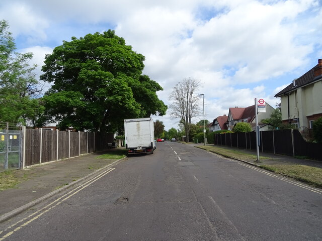
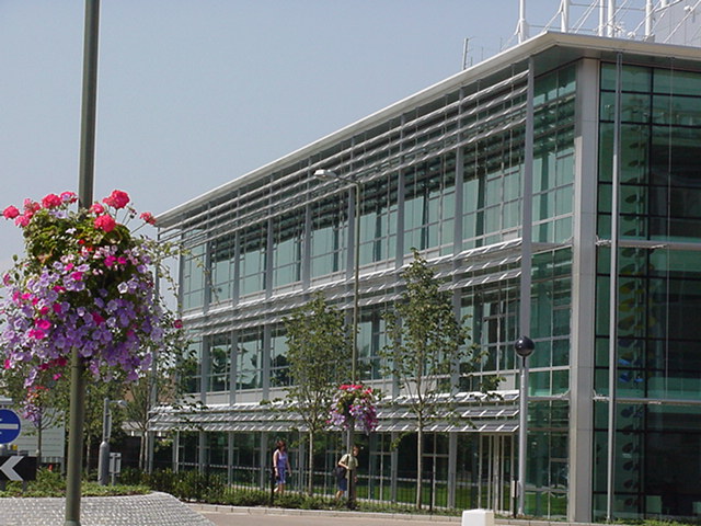
Kempton Park is a suburban area located in the London Borough of Hounslow in Middlesex, England. Situated approximately 12 miles southwest of central London, it is known for its mix of residential and commercial developments.
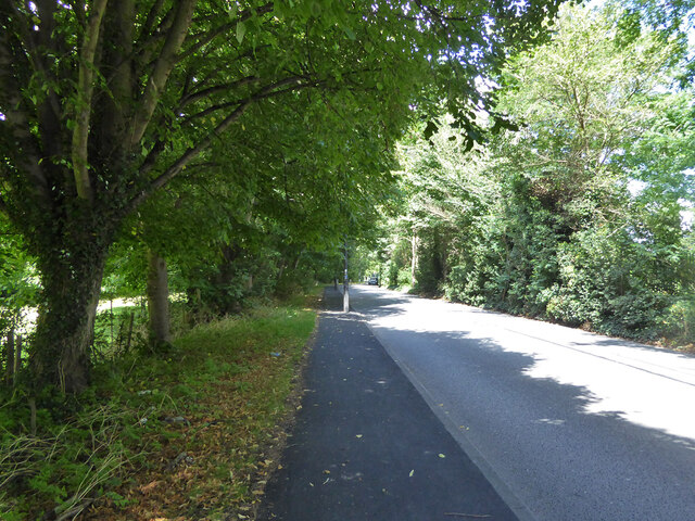
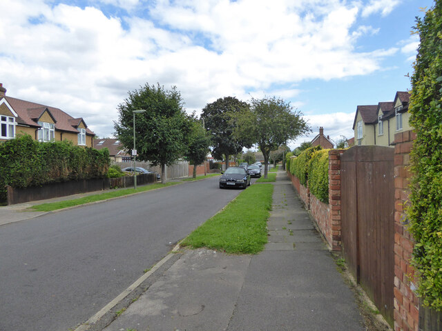
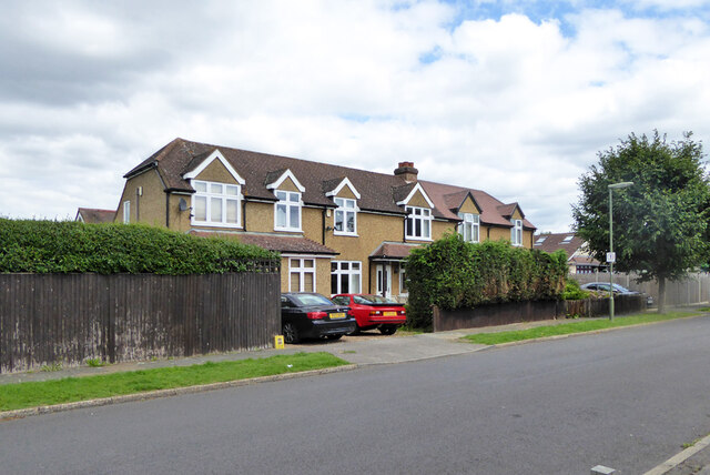
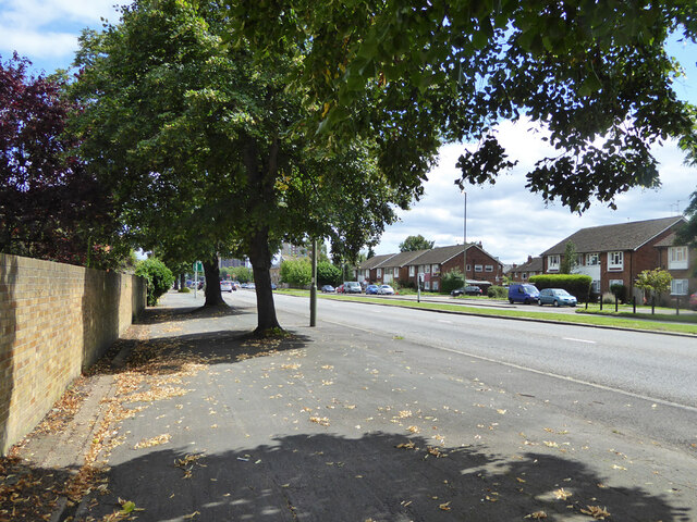
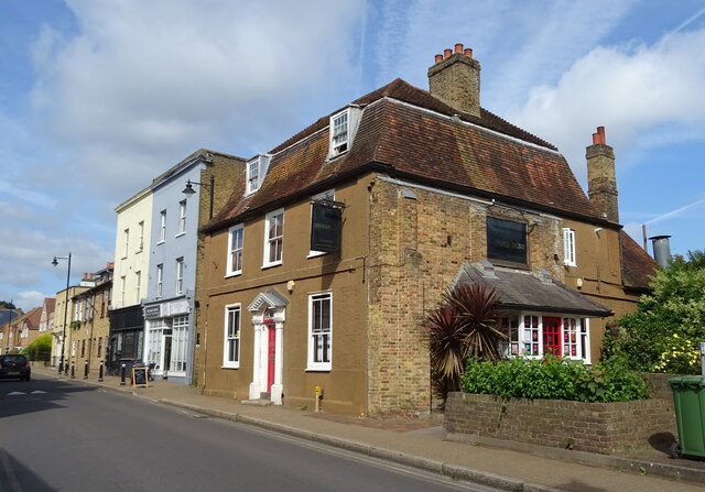
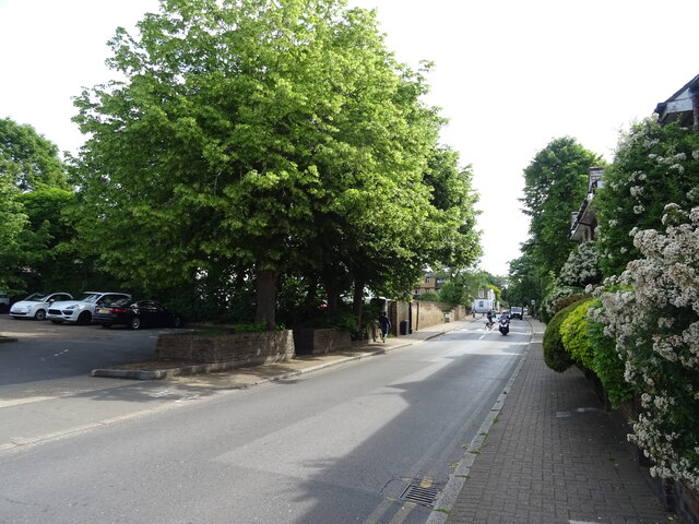
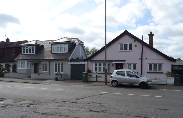
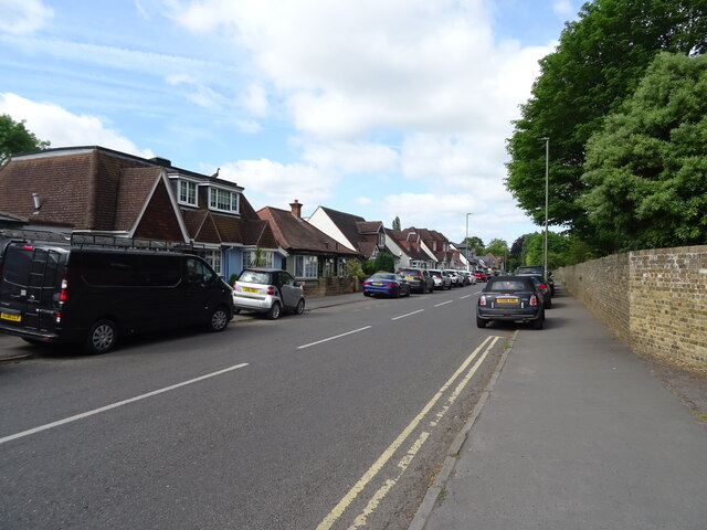
The area is primarily residential, with a range of housing options including detached and semi-detached houses, as well as apartments. The architecture is diverse, reflecting different periods of development. Kempton Park also benefits from several green spaces, including parks and recreational areas, providing residents with a tranquil environment.
One of the main attractions in Kempton Park is Kempton Park Racecourse, a renowned horse racing venue that has been hosting races since 1878. The racecourse is home to the famous King George VI Chase, a prestigious National Hunt race held on Boxing Day.
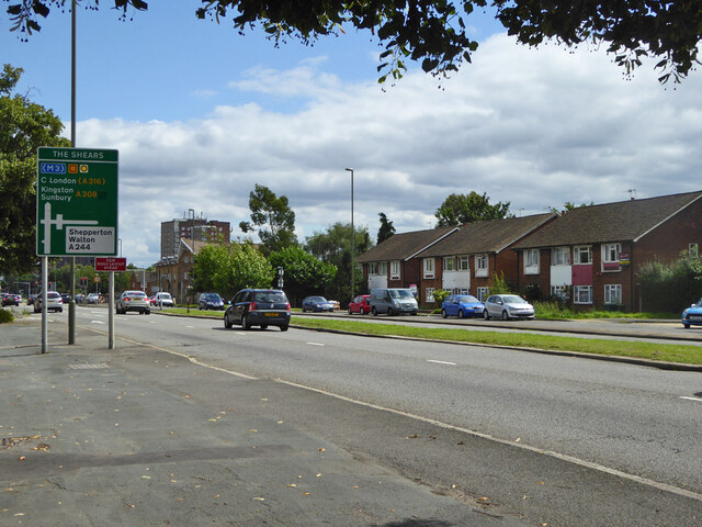
Kempton Park benefits from excellent transport links, with Kempton Park railway station providing regular services to London Waterloo and other major destinations. The area is also well-connected by road, with the A316 and A308 running through it, facilitating easy access to the M3 motorway.
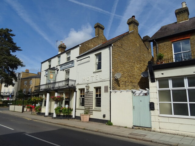
There are several amenities in Kempton Park, including a selection of local shops, restaurants, and pubs, catering to the needs of residents and visitors alike. The nearby towns of Sunbury-on-Thames and Hampton offer additional shopping and leisure options.
Overall, Kempton Park offers a pleasant suburban lifestyle with its mix of residential areas, green spaces, and convenient transportation links.
If you have any feedback on the listing, please let us know in the comments section below.
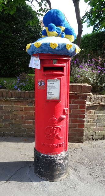
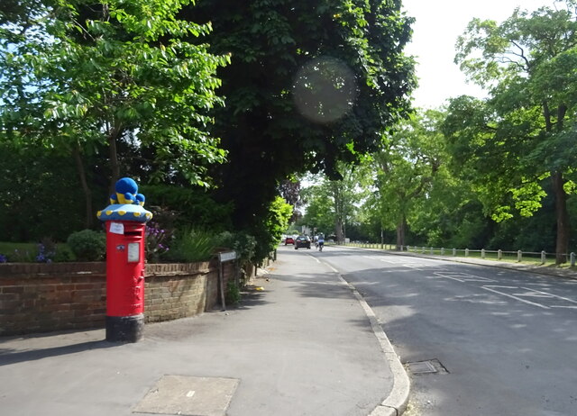
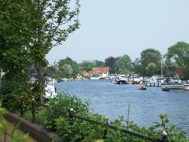
Kempton Park Images
Images are sourced within 2km of 51.421539/-0.41108394 or Grid Reference TQ1070. Thanks to Geograph Open Source API. All images are credited.
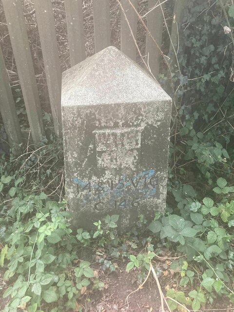
Kempton Park is located at Grid Ref: TQ1070 (Lat: 51.421539, Lng: -0.41108394)
Administrative County: Surrey
District: Spelthorne
Police Authority: Surrey
What 3 Words
///villa.green.dome. Near Sunbury-on-Thames, Surrey
Nearby Locations
Related Wikis
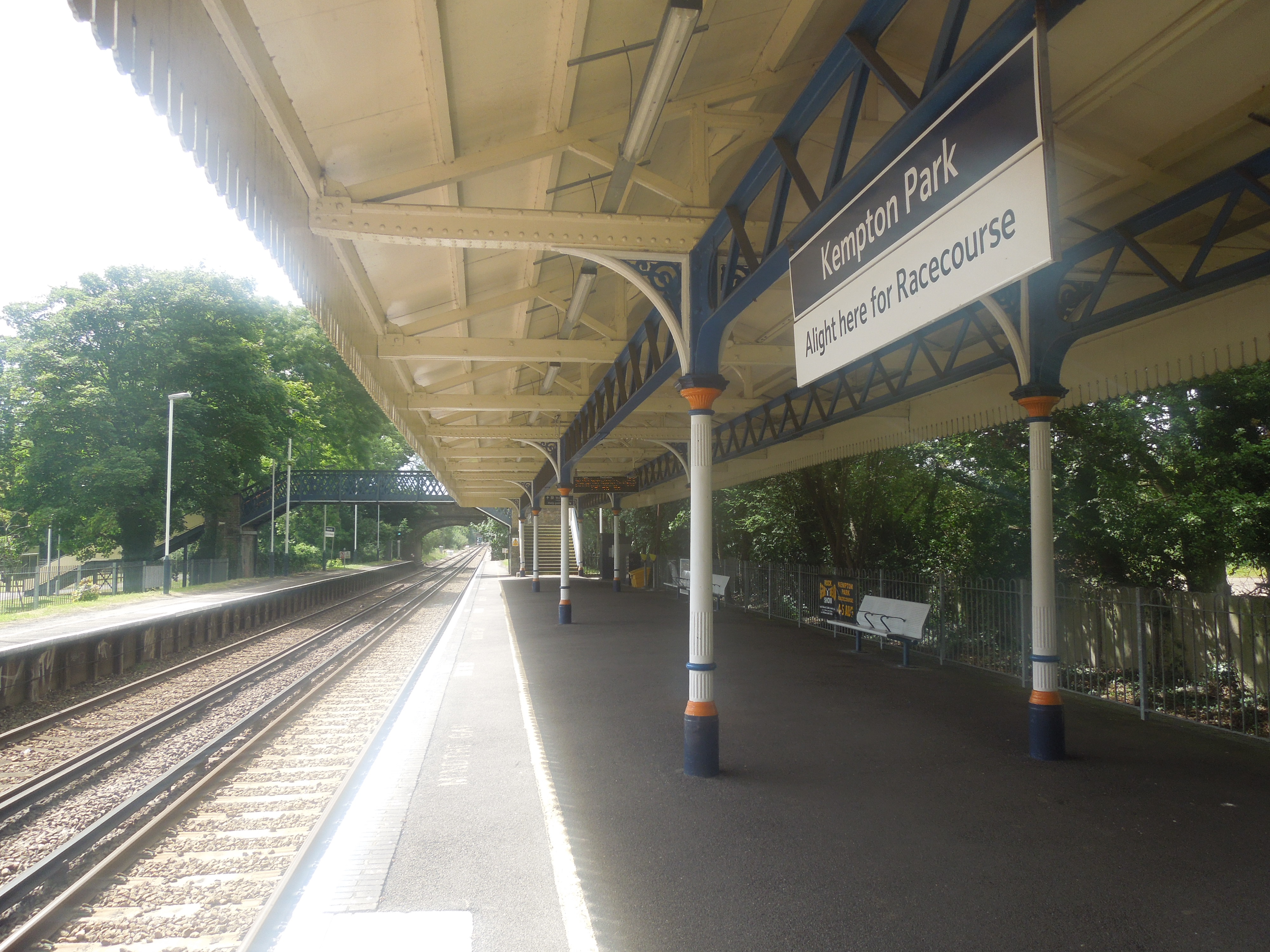
Kempton Park railway station
Kempton Park railway station in Sunbury-on-Thames in Surrey is on the Shepperton branch line, 16 miles 26 chains (26.3 km) down the line from London Waterloo...

Metropolitan Water Board Railway
The Metropolitan Water Board Railway was a 2 ft (610 mm) narrow gauge industrial railway built to serve the Metropolitan Water Board's pumping station...
Kempton Park, Surrey
Kempton Park, England formerly an expanded manor known as Kempton, Kenton and other forms, today refers to the land owned by (estate in property of) the...

Sunbury railway station (Surrey)
Sunbury railway station serves the town of Sunbury-on-Thames, in the Spelthorne district of Surrey, England. It is 16 miles 64 chains (27.0 km) down the...
Nearby Amenities
Located within 500m of 51.421539,-0.41108394Have you been to Kempton Park?
Leave your review of Kempton Park below (or comments, questions and feedback).