Kenmore
Settlement in Argyllshire
Scotland
Kenmore
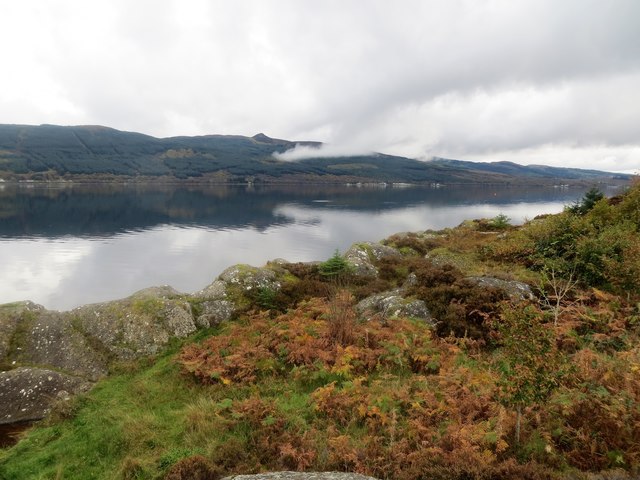
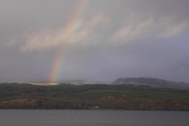
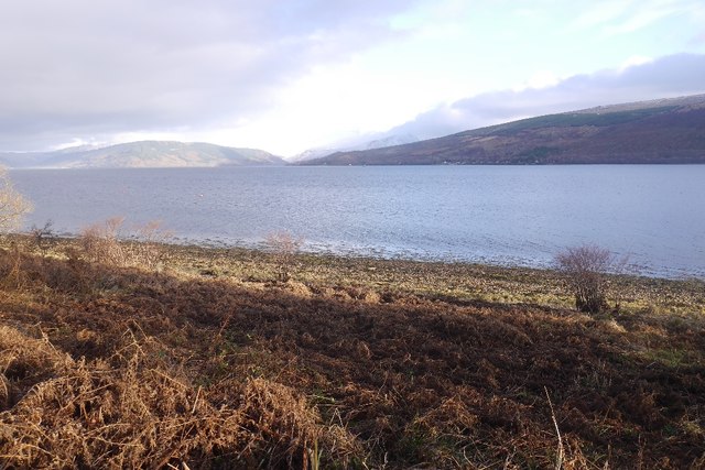
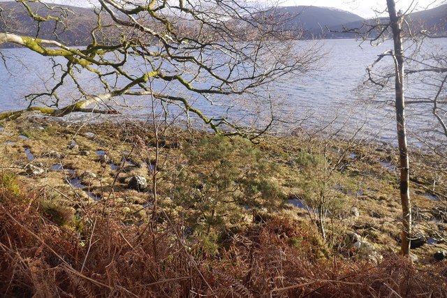
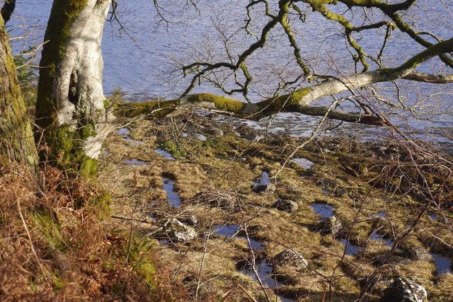
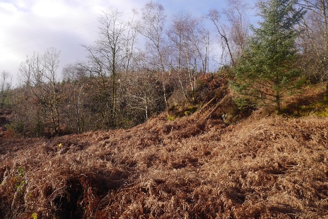
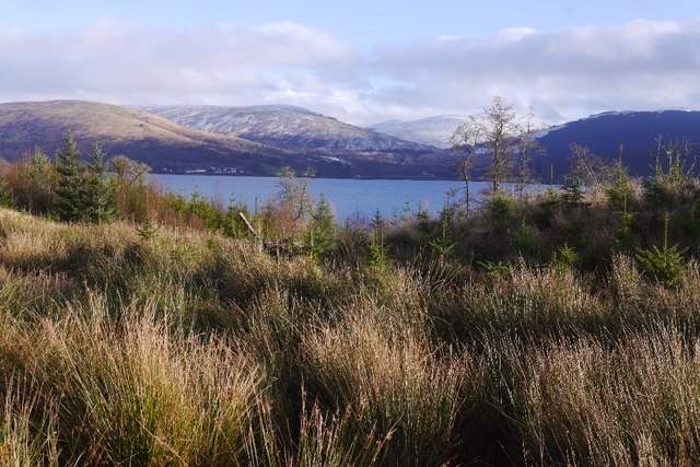
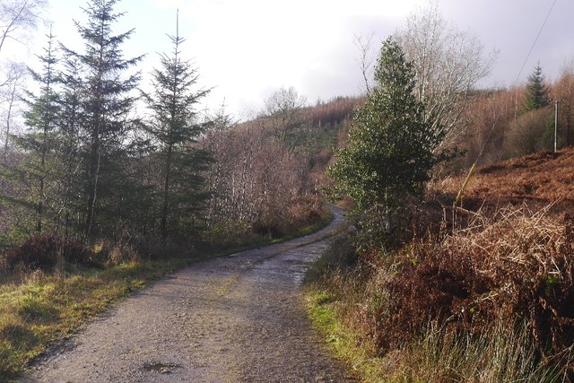
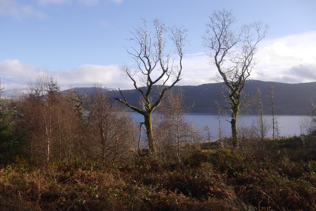
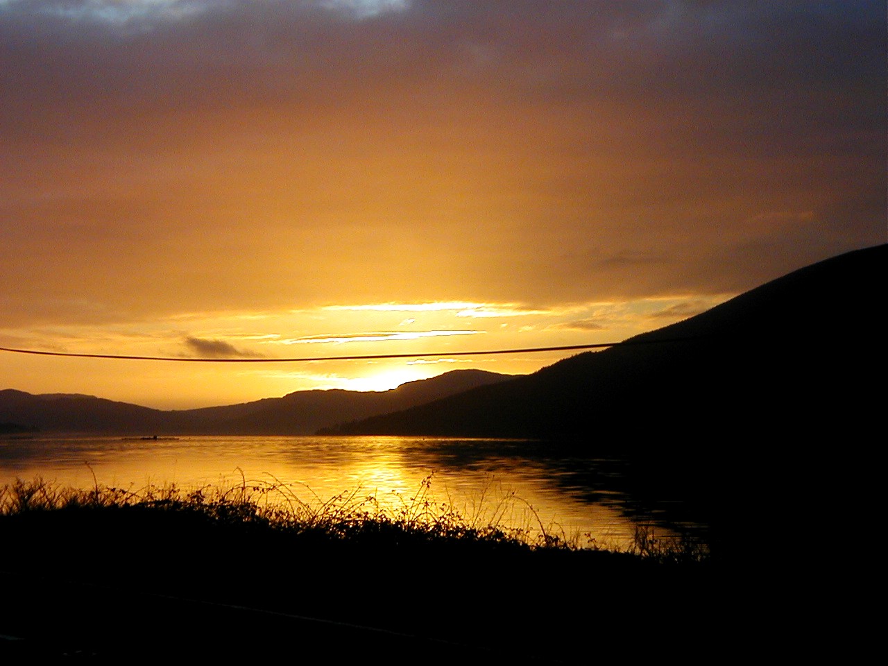
Kenmore is a picturesque village located in the county of Argyllshire in Scotland. Situated on the banks of Loch Tay, it offers breathtaking views of the surrounding mountains and tranquil waters. With a population of around 200 residents, the village exudes a small, tight-knit community atmosphere.
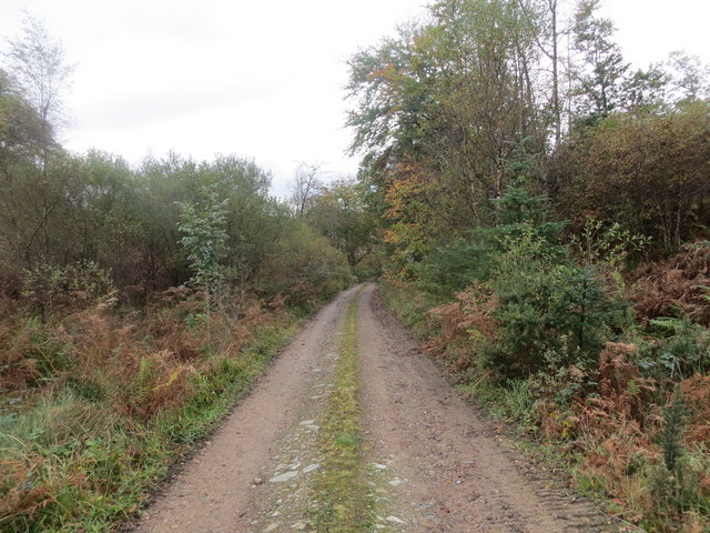
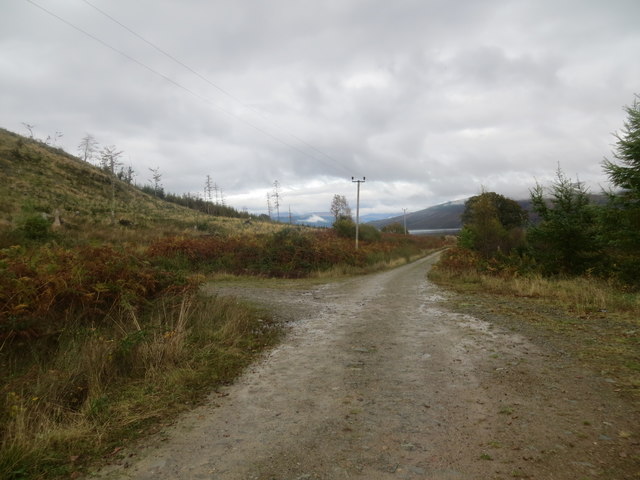
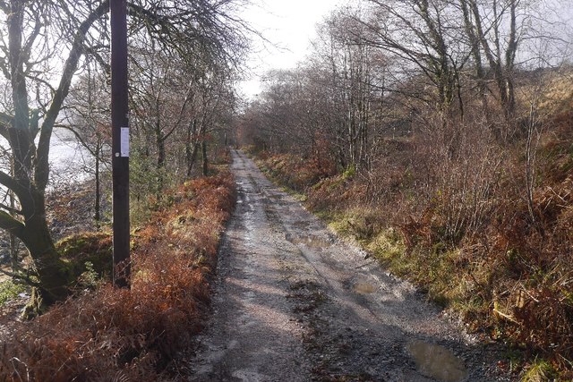
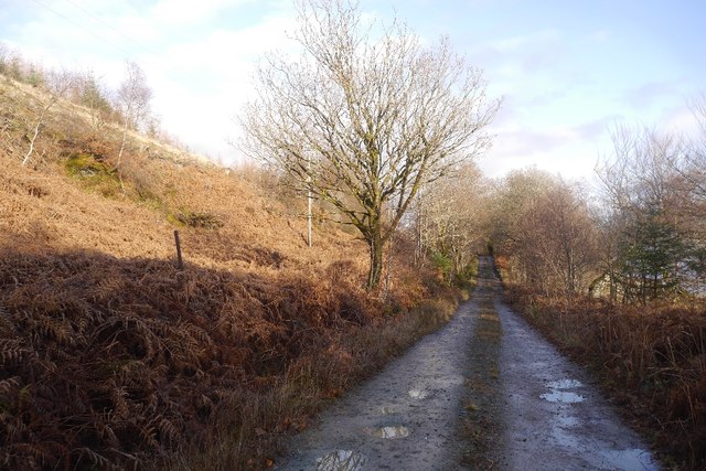
The village is steeped in history, with its origins dating back to the 16th century when it served as a ferry crossing point. Today, it is a popular tourist destination, attracting visitors from all over the world. The main attraction of Kenmore is its stunning natural beauty, which provides ample opportunities for outdoor activities such as hiking, fishing, and boating.
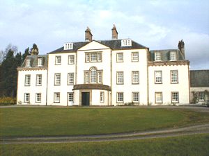
Kenmore boasts several notable landmarks, including the Kenmore Hotel, which is claimed to be the oldest inn in Scotland, dating back to 1572. The hotel offers comfortable accommodation and a cozy bar where visitors can enjoy traditional Scottish cuisine and locally brewed ales.
In addition to its natural beauty, Kenmore is also home to the Scottish Crannog Centre, an award-winning archaeological site that provides insight into ancient Scottish history. Visitors can explore a reconstructed Iron Age dwelling and learn about the daily lives of the ancient inhabitants.
Overall, Kenmore, Argyllshire is a charming village that offers a harmonious blend of history, natural beauty, and warm hospitality. It is a must-visit destination for those seeking a peaceful retreat in the heart of Scotland's stunning landscape.
If you have any feedback on the listing, please let us know in the comments section below.
Kenmore Images
Images are sourced within 2km of 56.171724/-5.1201176 or Grid Reference NN0602. Thanks to Geograph Open Source API. All images are credited.
Kenmore is located at Grid Ref: NN0602 (Lat: 56.171724, Lng: -5.1201176)
Unitary Authority: Argyll and Bute
Police Authority: Argyll and West Dunbartonshire
What 3 Words
///national.reclaimed.durations. Near Inveraray, Argyll & Bute
Nearby Locations
Related Wikis

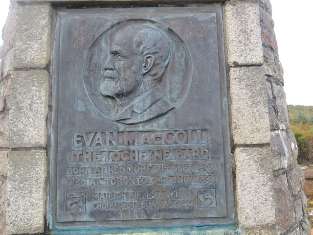
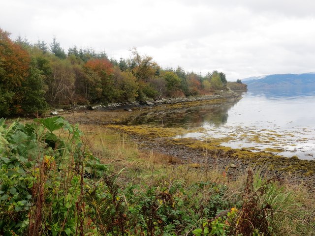
Loch Fyne
Loch Fyne (Scottish Gaelic: Loch Fìne, pronounced [l̪ˠɔx ˈfiːnə]; meaning "Loch of the Vine/Wine"), is a sea loch off the Firth of Clyde and forms part...

Strachur Bay
Strachur Bay is a coastal embayment, on a 114° orientation, on the eastern coast of the longest sea loch in Scotland, Loch Fyne located in Argyll and Bute...
Strachur House
Strachur House is a Category B listed building in Strachur, Argyll and Bute, Scotland. It dates from around 1770, and is a three-storey building, built...
Strachur
Strachur (Scottish Gaelic: Srath Chura) and Strathlachlan (Scottish Gaelic: Srath Lachlainn) are united parishes located on the Cowal peninsula, in Argyll...
Nearby Amenities
Located within 500m of 56.171724,-5.1201176Have you been to Kenmore?
Leave your review of Kenmore below (or comments, questions and feedback).