Kemprow
Settlement in Hertfordshire Hertsmere
England
Kemprow
Kemprow is a small village located in the county of Hertfordshire, England. Situated approximately 30 miles north of London, it is nestled in a picturesque rural setting with stunning views of the surrounding countryside. The village is part of the East Hertfordshire district and falls within the civil parish of Buntingford.
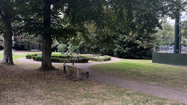
Kemprow boasts a rich history that dates back centuries. The village is home to several historic buildings, including St. Mary's Church, which dates back to the 12th century and is a testament to the area's architectural heritage. The village also has a charming village green, where locals and visitors alike can enjoy peaceful walks and picnics.
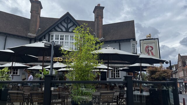
Despite its small size, Kemprow offers a range of amenities to its residents. There is a local pub, The Red Lion, which serves as a social hub for the community, providing a place for locals to gather and relax. Additionally, the village has a primary school, providing education for the younger members of the community.
Nature lovers will appreciate the abundance of outdoor activities available in Kemprow. The village is surrounded by beautiful countryside, making it an ideal location for hiking, cycling, and horse riding. The nearby River Rib also offers opportunities for fishing and boating.
Kemprow's tranquil and idyllic setting, combined with its rich history and range of amenities, makes it a highly desirable place to live for those seeking a peaceful rural lifestyle within easy reach of London.
If you have any feedback on the listing, please let us know in the comments section below.
Kemprow Images
Images are sourced within 2km of 51.67745/-0.34044119 or Grid Reference TQ1498. Thanks to Geograph Open Source API. All images are credited.
Kemprow is located at Grid Ref: TQ1498 (Lat: 51.67745, Lng: -0.34044119)
Administrative County: Hertfordshire
District: Hertsmere
Police Authority: Hertfordshire
What 3 Words
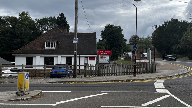
///translated.claims.suffice. Near Radlett, Hertfordshire
Nearby Locations
Related Wikis

Edge Grove School
Edge Grove School, simply Edge Grove, is a 3–13 mixed, private, day preparatory school in Aldenham, Watford, Hertfordshire, England. It was established...

Aldenham
Aldenham is a village and civil parish in the borough of Hertsmere in Hertfordshire, England. The parish includes Radlett and Letchmore Heath as well as...

Letchmore Heath
Letchmore Heath is a village in Hertfordshire in England, situated about three miles east of Watford. == General == The village, consisting of about 150...

Wall Hall
Wall Hall, originally known as Aldenham Abbey, is a country house at Aldenham in Hertfordshire, England. The main house and several ancillary buildings...

Bhaktivedanta Manor
Bhaktivedanta Manor is a Gaudiya Vaishnava Hindu temple set in the Hertfordshire countryside of England, in the village of Letchmore Heath near Watford...
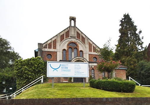
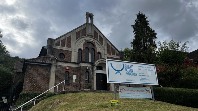
Radlett Reform Synagogue
Radlett Reform Synagogue is a synagogue in Radlett, Hertfordshire, England. It is affiliated to the Movement for Reform Judaism. Its current Senior Rabbi...

Munden House
Munden House and its estate are located between Watford, Radlett and Bricket Wood in the county of Hertfordshire, England. It is a Grade II listed building...
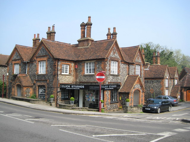
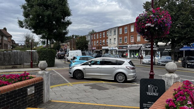
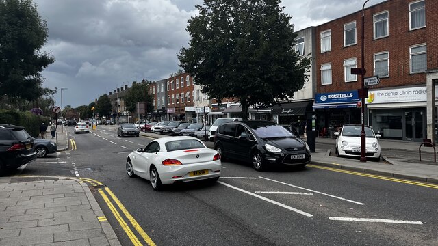
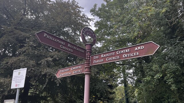
Radlett
Radlett is a village in Hertfordshire, England, between Elstree and St Albans on Watling Street, with a population of 10,060. It is in the council district...
Nearby Amenities
Located within 500m of 51.67745,-0.34044119Have you been to Kemprow?
Leave your review of Kemprow below (or comments, questions and feedback).