Cross, High
Settlement in Hertfordshire Hertsmere
England
Cross, High
Cross, High, Hertfordshire is a small village located in the county of Hertfordshire, England. Situated approximately 20 miles north of London, it is part of the Three Rivers district and falls within the jurisdiction of Hertfordshire County Council. The village is nestled among the rolling hills and lush green countryside that characterizes this region.
Cross, High is a predominantly residential area, with a population of around 2,000 people. The village boasts a charming and picturesque setting, with its quaint cottages and well-maintained gardens. The community here is close-knit, and residents enjoy a peaceful and tranquil lifestyle away from the hustle and bustle of city living.
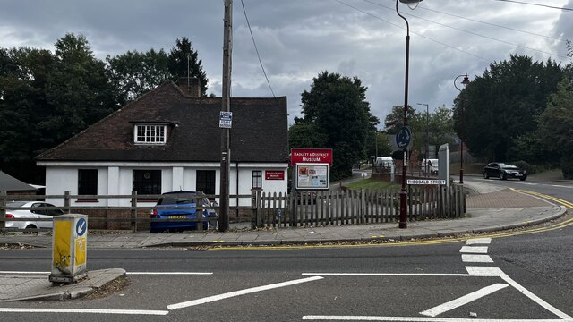
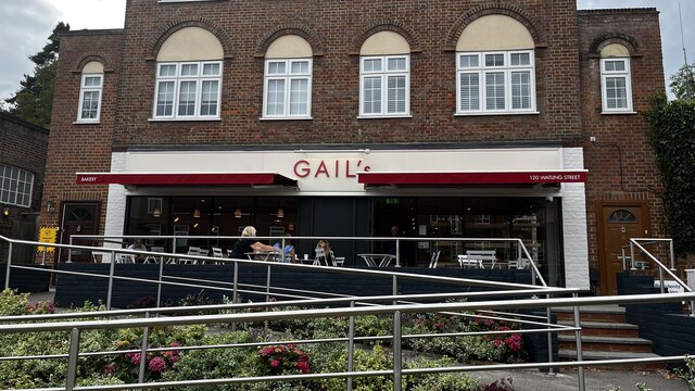
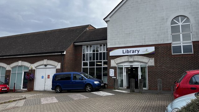
Despite its small size, Cross, High offers a range of amenities to its residents. These include a local primary school, a village hall, a post office, and a village store. The village also has several recreational facilities, such as a playground and sports fields, which are used by both residents and visitors.
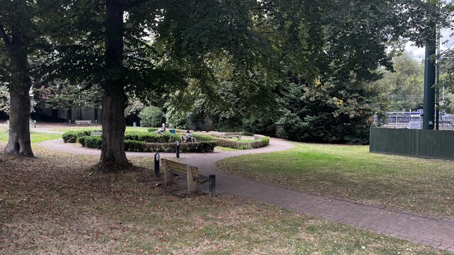
The surrounding countryside provides ample opportunities for outdoor activities, including walking, cycling, and horse riding. There are also several nature reserves and parks nearby, allowing residents to enjoy the natural beauty of the area. Additionally, the village is well-connected to neighboring towns and cities, with good transport links via road and rail.
Overall, Cross, High, Hertfordshire is a charming and idyllic village that offers a peaceful and close-knit community, beautiful surroundings, and a range of amenities for its residents.
If you have any feedback on the listing, please let us know in the comments section below.
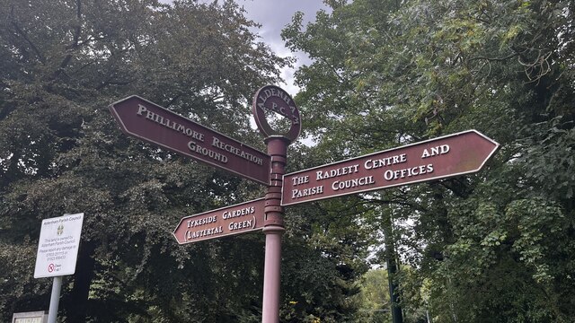
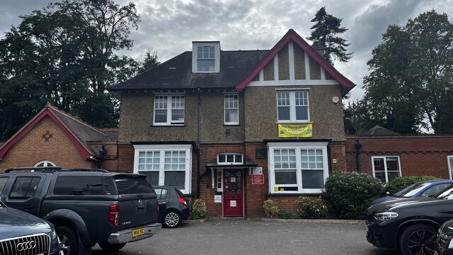
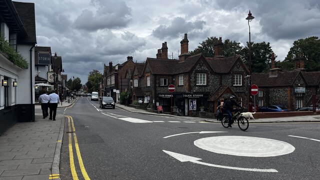
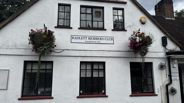
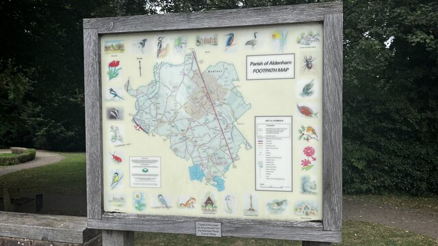
Cross, High Images
Images are sourced within 2km of 51.676836/-0.34179 or Grid Reference TQ1498. Thanks to Geograph Open Source API. All images are credited.
Cross, High is located at Grid Ref: TQ1498 (Lat: 51.676836, Lng: -0.34179)
Administrative County: Hertfordshire
District: Hertsmere
Police Authority: Hertfordshire
What 3 Words
///turned.stands.shorts. Near Radlett, Hertfordshire
Nearby Locations
Related Wikis

Edge Grove School
Edge Grove School, simply Edge Grove, is a 3–13 mixed, private, day preparatory school in Aldenham, Watford, Hertfordshire, England. It was established...

Aldenham
Aldenham is a village and civil parish in the borough of Hertsmere in Hertfordshire, England. The parish includes Radlett and Letchmore Heath as well as...

Letchmore Heath
Letchmore Heath is a village in Hertfordshire in England, situated about three miles east of Watford. == General == The village, consisting of about 150...

Wall Hall
Wall Hall, originally known as Aldenham Abbey, is a country house at Aldenham in Hertfordshire, England. The main house and several ancillary buildings...

Bhaktivedanta Manor
Bhaktivedanta Manor is a Gaudiya Vaishnava Hindu temple set in the Hertfordshire countryside of England, in the village of Letchmore Heath near Watford...

Munden House
Munden House and its estate are located between Watford, Radlett and Bricket Wood in the county of Hertfordshire, England. It is a Grade II listed building...
Aldenham School
Aldenham School is a co-educational independent school for pupils aged eleven to eighteen, located between Elstree and the village of Aldenham in Hertfordshire...
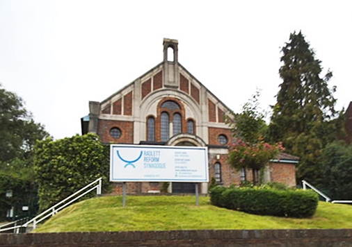
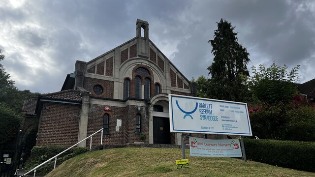
Radlett Reform Synagogue
Radlett Reform Synagogue is a synagogue in Radlett, Hertfordshire, England. It is affiliated to the Movement for Reform Judaism. Its current Senior Rabbi...
Nearby Amenities
Located within 500m of 51.676836,-0.34179Have you been to Cross, High?
Leave your review of Cross, High below (or comments, questions and feedback).