Round Bush

Settlement in Hertfordshire Hertsmere

England

Round Bush

The Mercure Hotel, Watford
The Mercure Hotel, Watford Credit: David Howard

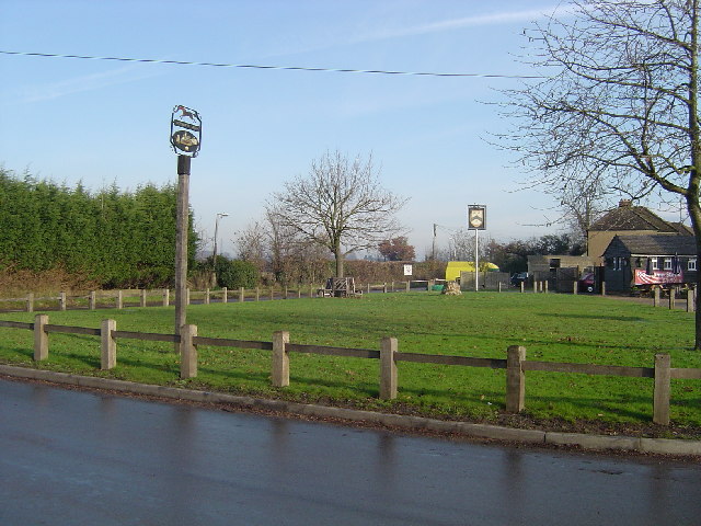
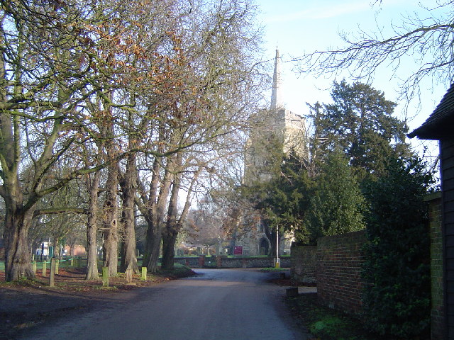
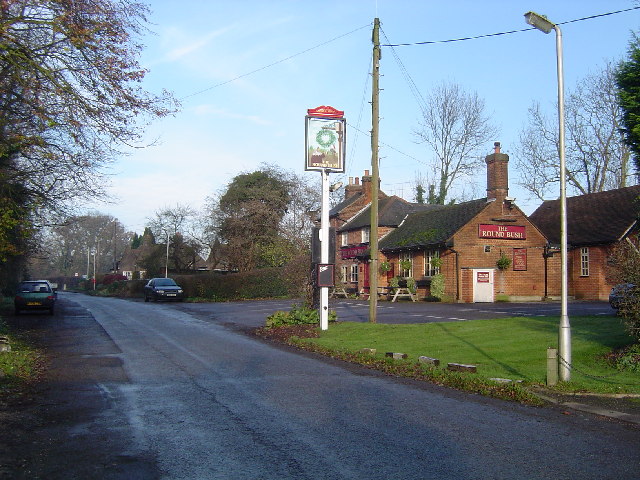
Round Bush is a small village located in Hertfordshire, a county in the East of England. Situated approximately 30 miles north of London, Round Bush falls within the district of Three Rivers. The village is surrounded by picturesque countryside and offers a peaceful and rural setting for its residents.

Despite its small size, Round Bush boasts a close-knit community, with a population of around 300 residents. The village predominantly consists of residential properties, ranging from charming cottages to modern houses. The architecture reflects the area's historical roots, with some buildings dating back several centuries.

Round Bush benefits from its proximity to several larger towns and cities, including Rickmansworth and Watford, which offer a wide range of amenities such as shopping centers, restaurants, and entertainment venues. The village itself provides a few local amenities, including a village hall and a primary school, making it an attractive location for families.

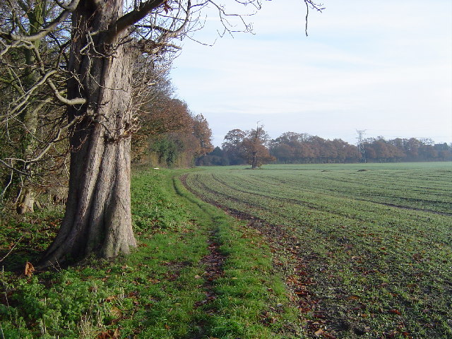
Nature enthusiasts will appreciate the village's access to the surrounding countryside, which offers ample opportunities for outdoor activities such as hiking, cycling, and horse riding. The nearby Colne Valley Regional Park, renowned for its natural beauty, provides additional recreational options.

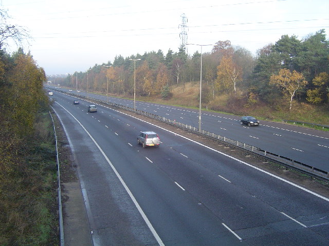
Transport links in Round Bush are convenient, with easy access to major roads and motorways, including the M25 and M1. The village is also served by regular bus services, connecting residents to nearby towns and cities.

Overall, Round Bush offers a charming and tranquil living environment, ideal for those seeking a rural retreat while still enjoying the convenience of nearby amenities.

If you have any feedback on the listing, please let us know in the comments section below.
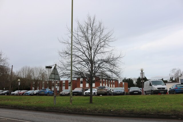
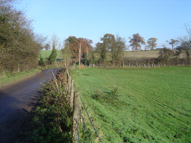
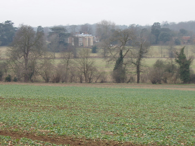
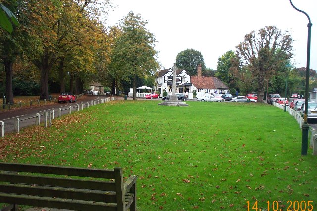
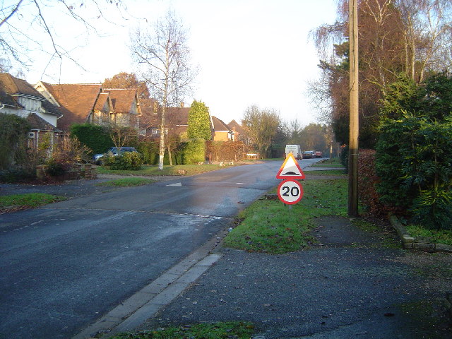
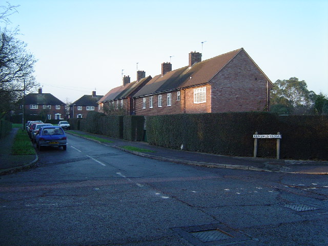
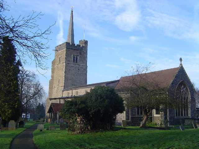
Round Bush Images

Images are sourced within 2km of 51.672182/-0.343407 or Grid Reference TQ1498. Thanks to Geograph Open Source API. All images are credited.

The Mercure Hotel, Watford
High Cross: Oakridge Lane Hill Farm is the only destination on the road beyond here, viewed looking northwards.
High Cross: Oakridge Lane
Hill Farm is the only destination on the road beyond here, viewed looking northwards.
Crops and view to Munden House, near Watford View west from road used as public path
Crops and view to Munden House, near Watford
View west from road used as public path
Letchmore Heath Viewed looking northwards across The Green towards the Three Horseshoes public house. Unfortunately the village pond was being dredged at the time of the photography and was surrounded by unsightly fencing.
Letchmore Heath
Viewed looking northwards across The Green towards the Three Horseshoes public house. Unfortunately the village pond was being dredged at the time of the photography and was surrounded by unsightly fencing.
Patchetts Green The village sign is the nearer of the two, the far one being for The Three Compasses Public House. View taken looking eastwards from Hilfield Lane towards Pegmire Lane.
Patchetts Green
The village sign is the nearer of the two, the far one being for The Three Compasses Public House. View taken looking eastwards from Hilfield Lane towards Pegmire Lane.
Aldenham Church Lane, Aldenham, with the Church of St John The Baptist visible through the trees.
Aldenham
Church Lane, Aldenham, with the Church of St John The Baptist visible through the trees.
M1 Motorway Viewed looking north westwards towards Junction 5 from the Sandy Lane overbridge.
M1 Motorway
Viewed looking north westwards towards Junction 5 from the Sandy Lane overbridge.
Round Bush Centre of this small village with the eponymous pub in view.
Round Bush
Centre of this small village with the eponymous pub in view.
Radlett: The Ridgeway Viewed looking eastwards.
Radlett: The Ridgeway
Viewed looking eastwards.
Radlett: Kendals Close Viewed looking north from Battlers Green Drive.
Radlett: Kendals Close
Viewed looking north from Battlers Green Drive.
Aldenham: Church of St John the Baptist There is an excellent active website for the Church here <span class="nowrap"><a title="http://www.aldenhamchurch.com/index.html" rel="nofollow ugc noopener" href="http://www.aldenhamchurch.com/index.html">Link</a><img style="margin-left:2px;" alt="External link" title="External link - shift click to open in new window" src="https://s1.geograph.org.uk/img/external.png" width="10" height="10"/></span>
Aldenham: Church of St John the Baptist
There is an excellent active website for the Church here LinkExternal link
M1 Motorway Viewed looking northwards from the new bridleway crossing at the A41 overbridge, between Junctions 4 and 5.
M1 Motorway
Viewed looking northwards from the new bridleway crossing at the A41 overbridge, between Junctions 4 and 5.
Letchmore Heath: The footpath to Patchetts  Green Viewed looking west towards Patchetts Green.
Letchmore Heath: The footpath to Patchetts Green
Viewed looking west towards Patchetts Green.
Aldenham: A stile Viewed looking north eastwards towards Edge Grove.
Aldenham: A stile
Viewed looking north eastwards towards Edge Grove.
Letchmore Heath: The Pond Viewed looking northwards across The Pond towards the Three Horseshoes public house. The unsightly fencing mentioned in the earlier photo has now been removed.
Letchmore Heath: The Pond
Viewed looking northwards across The Pond towards the Three Horseshoes public house. The unsightly fencing mentioned in the earlier photo has now been removed.
Letchmore Heath: The footpath from Patchetts Green Viewed looking east towards Letchmore Heath.
Letchmore Heath: The footpath from Patchetts Green
Viewed looking east towards Letchmore Heath.
Charity walk held up by stile in far fence The stile that is holding this walk up is in a photo on the next square to the east. It was a charity walk and the farmer as usual hadn't cleared the path. Single file restricted conversation too. The land is owned by the highway authority and tenanted.
Charity walk held up by stile in far fence
The stile that is holding this walk up is in a photo on the next square to the east. It was a charity walk and the farmer as usual hadn't cleared the path. Single file restricted conversation too. The land is owned by the highway authority and tenanted.
Sewage Works near Radlett A large sewage works. View north from the footpath to Blackbirds farm.
Sewage Works near Radlett
A large sewage works. View north from the footpath to Blackbirds farm.
Show me another place!

Round Bush is located at Grid Ref: TQ1498 (Lat: 51.672182, Lng: -0.343407)

Administrative County: Hertfordshire

District: Hertsmere

Police Authority: Hertfordshire

What 3 Words

///oldest.bump.pull. Near Radlett, Hertfordshire

Related Wikis

Edge Grove School

Edge Grove School, simply Edge Grove, is a 3–13 mixed, private, day preparatory school in Aldenham, Watford, Hertfordshire, England. It was established...

Letchmore Heath

Letchmore Heath is a village in Hertfordshire in England, situated about three miles east of Watford. == General == The village, consisting of about 150...

Aldenham

Aldenham is a village and civil parish in the borough of Hertsmere in Hertfordshire, England. The parish includes Radlett and Letchmore Heath as well as...

Bhaktivedanta Manor

Bhaktivedanta Manor is a Gaudiya Vaishnava Hindu temple set in the Hertfordshire countryside of England, in the village of Letchmore Heath near Watford...

Aldenham School

Aldenham School is a co-educational independent school for pupils aged eleven to eighteen, located between Elstree and the village of Aldenham in Hertfordshire...

Wall Hall

Wall Hall, originally known as Aldenham Abbey, is a country house at Aldenham in Hertfordshire, England. The main house and several ancillary buildings...

Purcell School for Young Musicians

The Purcell School for Young Musicians is a specialist music school for children, located in the town of Bushey, south Hertfordshire, England, and is the...

Munden House

Munden House and its estate are located between Watford, Radlett and Bricket Wood in the county of Hertfordshire, England. It is a Grade II listed building...

Nearby Amenities

Located within 500m of 51.672182,-0.343407
Power: tower
Lat/Long: 51.668064/-0.3413089
Power: tower
Lat/Long: 51.6703598/-0.3422474
Power: tower
Lat/Long: 51.6744284/-0.345818
Crossing
Crossing: marked
Crossing Island: yes
Tactile Paving: yes
Lat/Long: 51.673252/-0.3450438
Traffic Calming: island
Lat/Long: 51.672981/-0.3491739
Power: tower
Lat/Long: 51.6748834/-0.3376544
Power: tower
Lat/Long: 51.6725752/-0.3376616
Bus Stop
Roundbush Lane
Bench: no
Bus: yes
Naptan AtcoCode: 210021007550
Naptan Bearing: W
Naptan CommonName: Roundbush Lane
Naptan Indicator: nr
Naptan Landmark: Unknown
Naptan NaptanCode: hrtgmpjp
Naptan ShortCommonName: NA
Naptan Street: Radlett Road
Naptan Verified: no
Public Transport: platform
Shelter: no
Source: naptan_import
Lat/Long: 51.6732013/-0.3456842
Bus Stop
Roundbush Lane
Bench: yes
Bus: yes
Naptan AtcoCode: 210021007640
Naptan Bearing: E
Naptan CommonName: Roundbush Lane
Naptan Indicator: opp
Naptan Landmark: Unknown
Naptan NaptanCode: hrtgmpdj
Naptan ShortCommonName: NA
Naptan Street: Radlett Road
Naptan Verified: no
Public Transport: platform
Shelter: yes
Source: naptan_import
Lat/Long: 51.6733536/-0.344735
Barrier: kissing_gate
Lat/Long: 51.6741071/-0.3388647
Barrier: kissing_gate
Lat/Long: 51.6734085/-0.342412
Communication Mobile Phone: yes
Man Made: mast
Tower Type: communication
Lat/Long: 51.6749882/-0.3427568
Traffic Calming: island
Lat/Long: 51.6731444/-0.3489663
Barrier: kissing_gate
Lat/Long: 51.6731343/-0.343713
Power: tower
Lat/Long: 51.6731397/-0.3433635
Roundbush Nursery & Garden Centre
Shop: garden_centre
Website: http://roundbushnurseryandgardencentre.co.uk/
Lat/Long: 51.6728511/-0.3459924
Plants Direct
Shop: garden_centre
Website: http://www.srsplantsdirect.com/
Lat/Long: 51.6726065/-0.3457845
Crossing
Crossing: unmarked
Lat/Long: 51.6732561/-0.3490896
Noexit: yes
Lat/Long: 51.6733662/-0.3446204
Crossing
Lat/Long: 51.6732726/-0.3460986
Barrier: kissing_gate
Lat/Long: 51.6736806/-0.3462303
Barrier: kissing_gate
Lat/Long: 51.674758/-0.3482933
Aldenham Grange
Aeroway: helipad
Surface: concrete
Lat/Long: 51.6679784/-0.3444936
Noexit: yes
Lat/Long: 51.6694462/-0.3457649
The data included in this document is from www.openstreetmap.org. The data is made available under ODbL.

Have you been to Round Bush?

Leave your review of Round Bush below (or comments, questions and feedback).