Bush Howe
Hill, Mountain in Westmorland Eden
England
Bush Howe
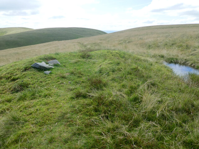
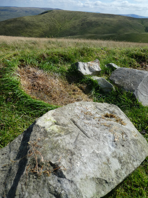
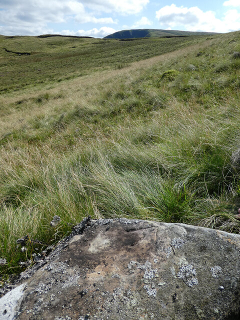
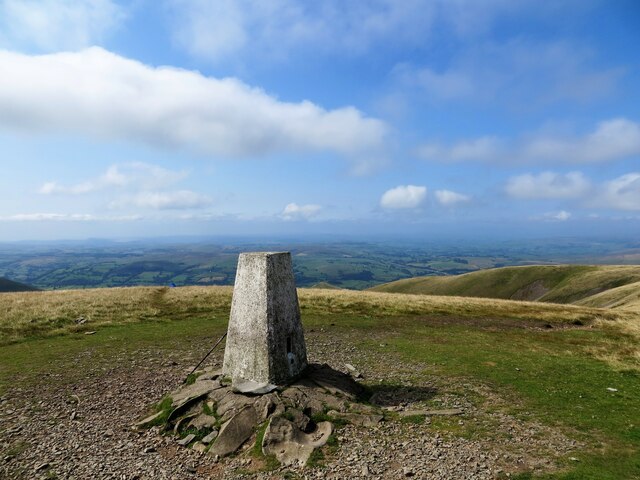
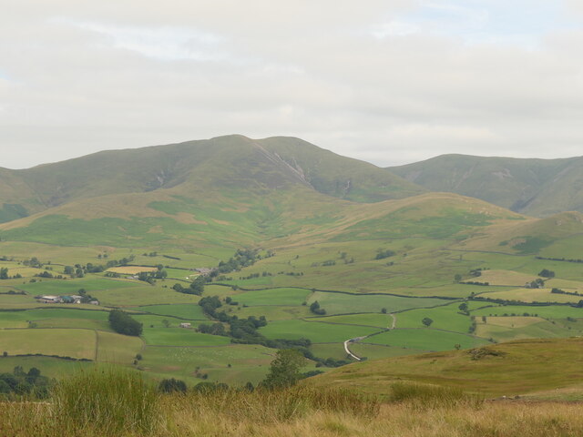
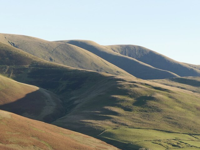
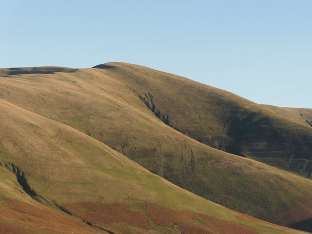
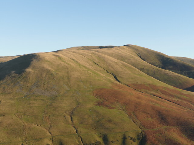
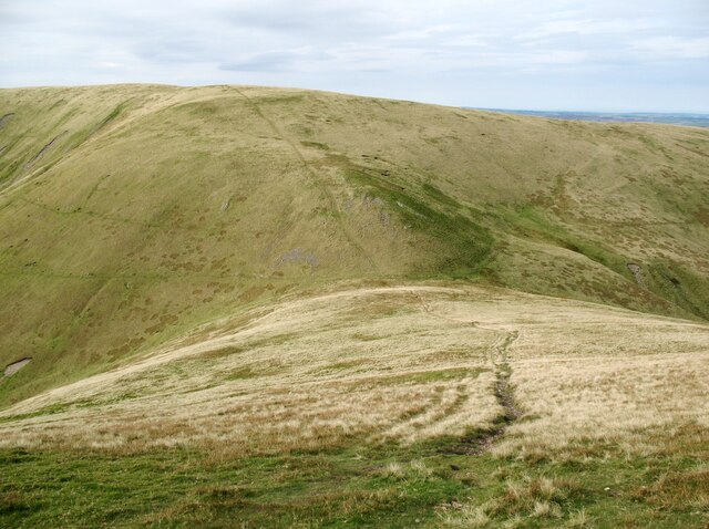
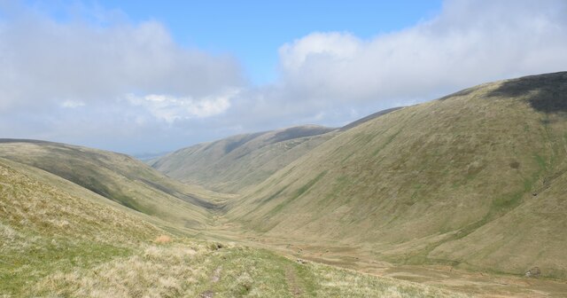
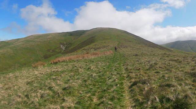
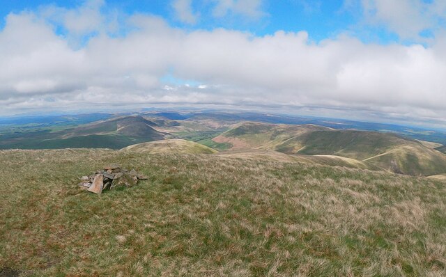
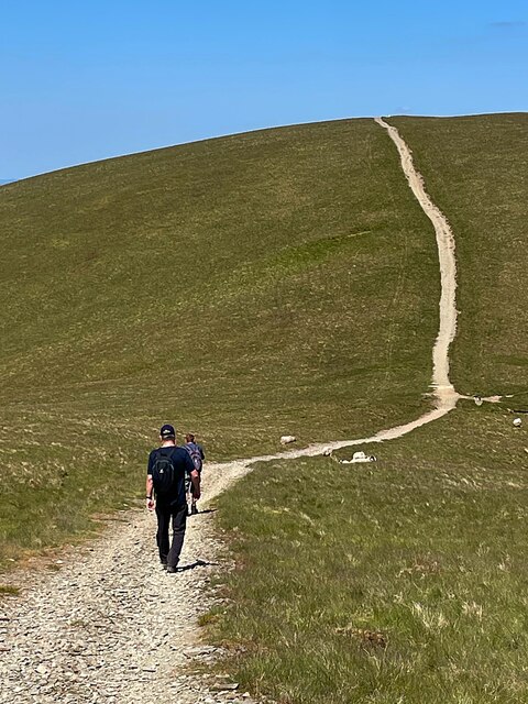
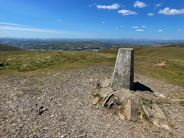
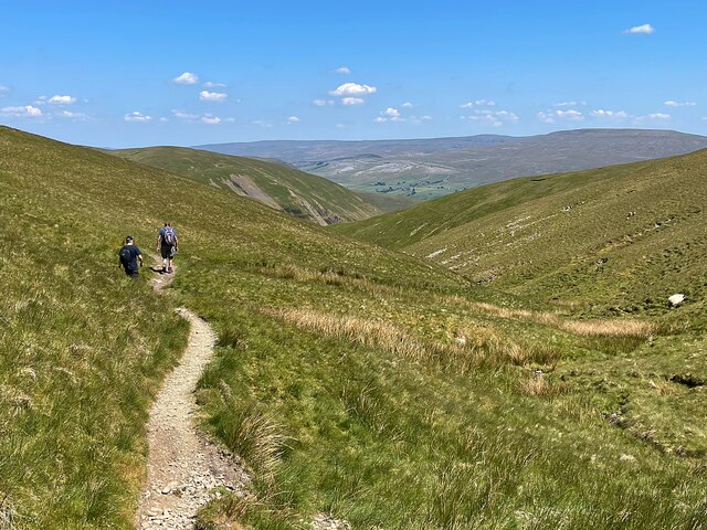
Bush Howe is a prominent hill/mountain located in the Westmorland region of the United Kingdom. Situated in the stunning landscape of the Lake District National Park, it stretches approximately 3,500 feet (1,067 meters) above sea level. Bush Howe is a beloved destination for hikers and nature enthusiasts, offering breathtaking panoramic views of the surrounding countryside.
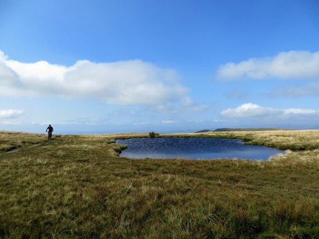
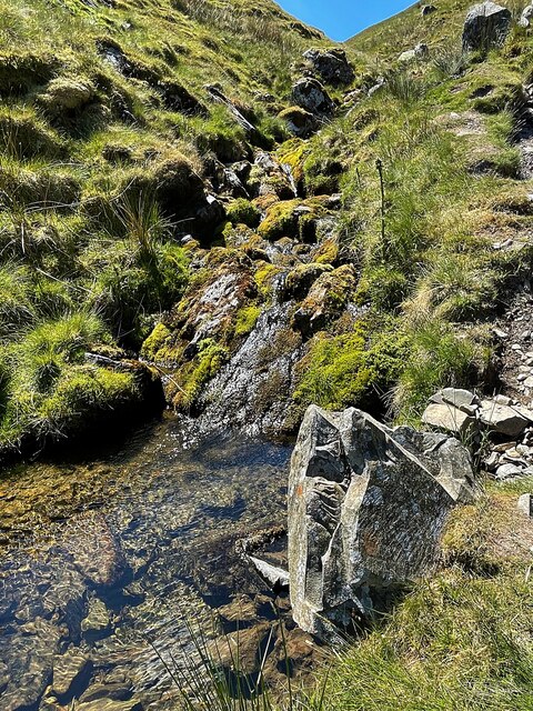
The hill/mountain is renowned for its diverse flora and fauna, with an abundance of heather, grasses, and wildflowers adorning its slopes. It is home to various species of birds, including the skylark, curlew, and peregrine falcon, making it an ideal spot for birdwatching.
Hikers can choose from a range of routes to reach the summit of Bush Howe, with options suitable for all levels of experience. The ascent can be challenging, particularly for beginners, as the terrain becomes steeper and rockier towards the top. However, the effort is rewarded with awe-inspiring views of the surrounding fells, valleys, and lakes, such as Windermere and Ullswater.
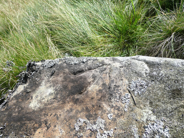
Bush Howe is also steeped in history, with remnants of ancient settlements and stone circles scattered across its slopes. These archaeological sites offer insight into the lives of the people who once inhabited the area, adding an extra layer of intrigue to the hill/mountain.
Overall, Bush Howe in Westmorland is a natural gem, attracting outdoor enthusiasts and history buffs alike. Its combination of stunning scenery, diverse wildlife, and historical significance make it a must-visit destination for anyone exploring the Lake District.
If you have any feedback on the listing, please let us know in the comments section below.
Bush Howe Images
Images are sourced within 2km of 54.377143/-2.5264509 or Grid Reference SD6598. Thanks to Geograph Open Source API. All images are credited.
Bush Howe is located at Grid Ref: SD6598 (Lat: 54.377143, Lng: -2.5264509)
Administrative County: Cumbria
District: Eden
Police Authority: Cumbria
What 3 Words
///decanter.sized.dented. Near Sedbergh, Cumbria
Nearby Locations
Related Wikis

The Calf
The Calf, at an elevation of 676 metres (2,218 ft), is the highest point in the Howgill Fells, an area of high ground in north-west England. It is in the...

Calders (Yorkshire Dales)
Calders is a summit of 2,211 feet (674 m) in the Howgill Fells, Cumbria, England. It lies about 2⁄3 mile (1 km) south east of the summit of The Calf and...

Yarlside
Yarlside is a hill in the Howgill Fells, Cumbria (historically Westmorland), England. This fell is not to be confused with the Yarlside area near Barrow...

Howgill Fells
The Howgill Fells are uplands in Northern England between the Lake District and the Yorkshire Dales, lying roughly within a triangle formed by the town...
Randygill Top
Randygill Top is a mountain located in the Howgill Fells, Cumbria (historically Westmorland), England. == References ==

Low Gill railway station
Low Gill railway station served the hamlet of Lowgill, Westmorland (now in Cumbria), England, from 1846 to 1966 on the Lancaster and Carlisle Railway....

Holy Trinity Church, Howgill
Holy Trinity Church stands in a country lane near the hamlet of Howgill, between Sedbergh and Tebay, Cumbria, England. It is an active Anglican church...

Firbank
Firbank is a village and civil parish in the South Lakeland district of the English county of Cumbria. It has a population of 97. As Firbank had a population...
Nearby Amenities
Located within 500m of 54.377143,-2.5264509Have you been to Bush Howe?
Leave your review of Bush Howe below (or comments, questions and feedback).