Feith Hill
Hill, Mountain in Banffshire
Scotland
Feith Hill

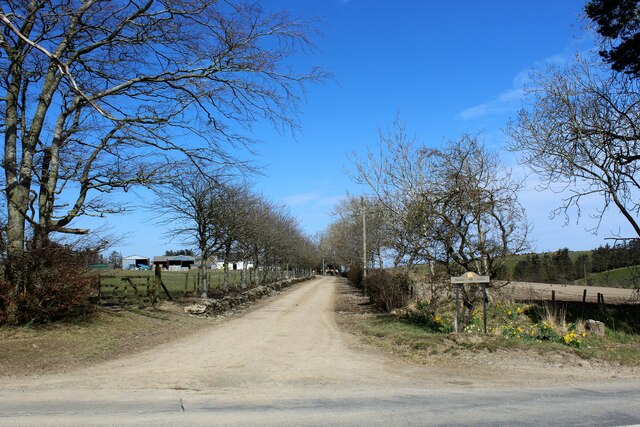
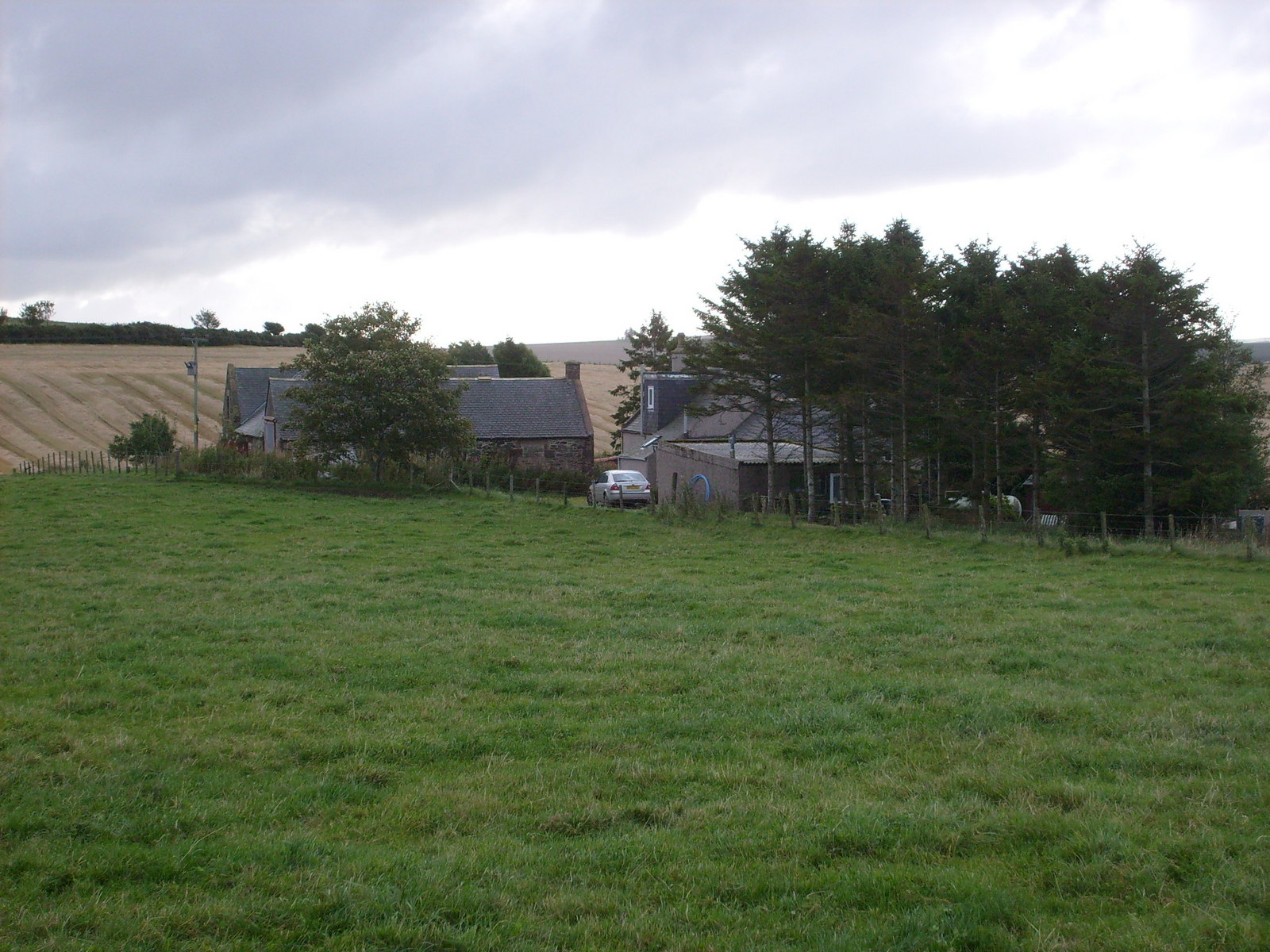
Feith Hill is a prominent landmark located in the county of Banffshire, Scotland. Situated in the northern region of the country, it forms part of the picturesque landscape of the Scottish Highlands. Rising to an elevation of approximately 535 meters (1,755 feet), Feith Hill commands stunning panoramic views of its surroundings.
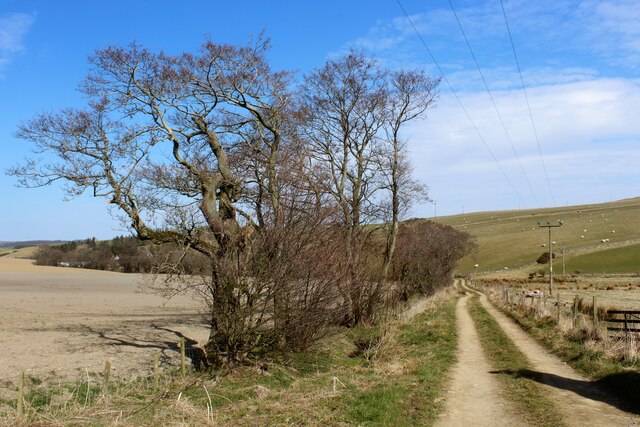
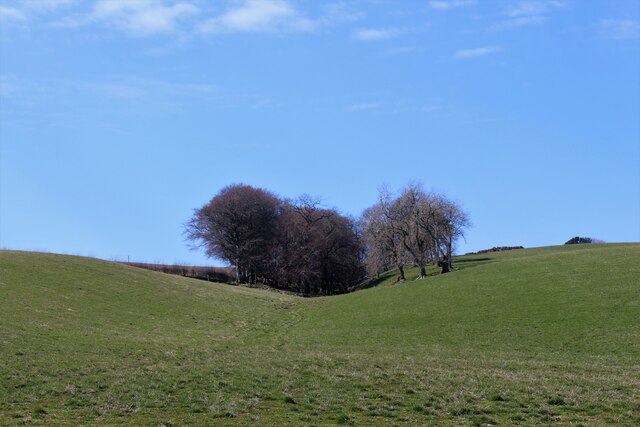
This hill is characterized by its gently sloping grassy terrain, making it a relatively accessible destination for hikers and nature enthusiasts. Its verdant slopes are often adorned with heather and other wildflowers, adding a touch of vibrancy to the landscape. The hill's summit offers breathtaking vistas of the surrounding valleys, rolling hills, and distant peaks, providing visitors with an awe-inspiring experience.
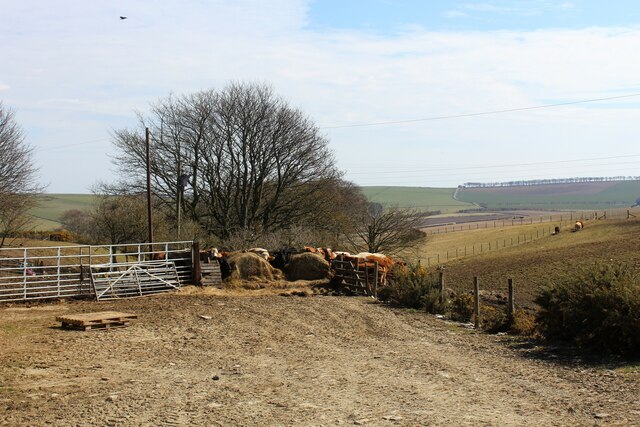
Feith Hill is renowned for its rich biodiversity, with a variety of plant and animal species calling it home. It serves as a habitat for several bird species, including the iconic golden eagle and peregrine falcon. Additionally, red deer, mountain hares, and Scottish wildcats can occasionally be spotted in the area.
The hill is a popular attraction for outdoor activities, such as hillwalking and birdwatching. Its accessible trails and well-maintained paths make it suitable for individuals of varying fitness levels. Visitors can explore the hill at their own pace, immersing themselves in the tranquility of the Scottish countryside.
Feith Hill's natural beauty, diverse wildlife, and stunning vistas make it a must-visit destination for those seeking to experience the splendor of the Scottish Highlands. It offers a memorable experience that showcases the region's unique charm and natural wonders.
If you have any feedback on the listing, please let us know in the comments section below.
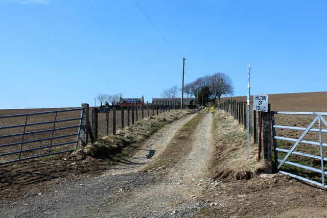
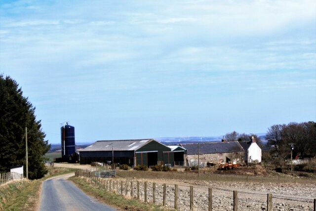
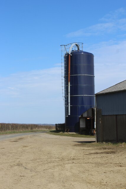
Feith Hill Images
Images are sourced within 2km of 57.480554/-2.5703098 or Grid Reference NJ6543. Thanks to Geograph Open Source API. All images are credited.


Feith Hill is located at Grid Ref: NJ6543 (Lat: 57.480554, Lng: -2.5703098)
Unitary Authority: Aberdeenshire
Police Authority: North East
What 3 Words
///printers.deserved.concluded. Near Turriff, Aberdeenshire
Nearby Locations
Related Wikis
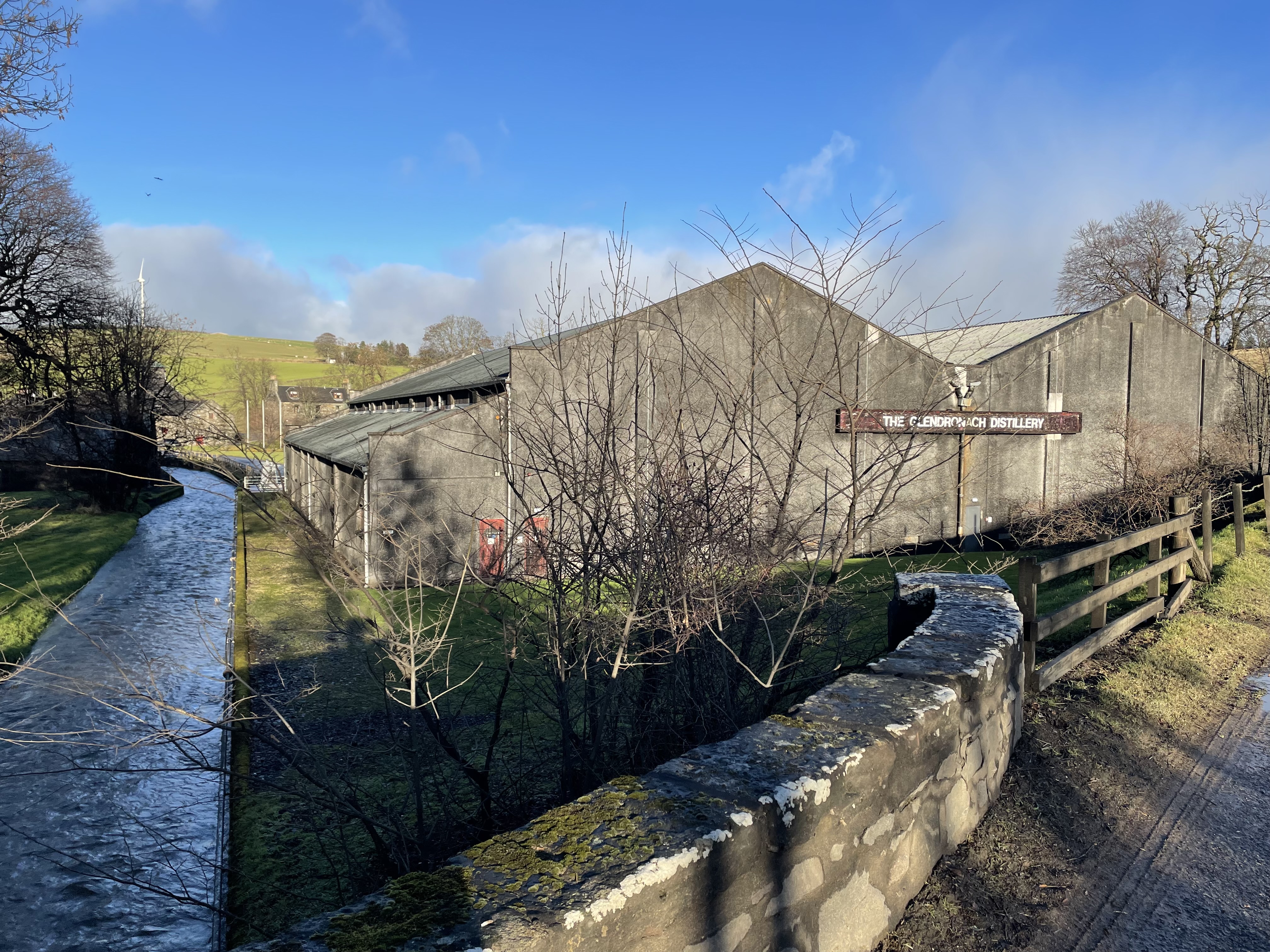
Glendronach distillery
Glendronach distillery is a Scottish whisky distillery located near Forgue, by Huntly, Aberdeenshire, in the Highland whisky district. It was owned by...

Frendraught Castle
Frendraught Castle or House is a 17th-century house, about 6 miles (9.7 km) east of Huntly, Aberdeenshire, Scotland, and 1 mile (1.6 km) west of Largue...
Auldyoch
Auldyoch is a farm in Aberdeenshire, Scotland. == References ==

Inverkeithny
Inverkeithny is a village in the Formartine area of Aberdeenshire, Scotland. The village lies near where the Burn of Forgue flows into the River Deveron...
Forgue
Forgue is a hamlet in Aberdeenshire. It lies 35 miles (56 km) northwest of Aberdeen and 8 miles (13 km) northeast of Huntly. The Glendronach distillery...

Ythan Wells
Ythan Wells, also known as Glenmailen, is the site of a Roman military camp, near the farm of Glenmellan, 2.1 kilometres (1.3 mi) east of the village of...

Ythanwells
Ythanwells () is a village in the Marr area of Aberdeenshire, Scotland, lying 10.6 kilometres (6.6 mi) east of Huntly. The village is sometimes known...

Auchterless
Auchterless (Scottish Gaelic: Uachdar Leasa, meaning the "Upper Part of Less") is a village in Aberdeenshire, Scotland; grid reference NJ 713 416, postcode...
Nearby Amenities
Located within 500m of 57.480554,-2.5703098Have you been to Feith Hill?
Leave your review of Feith Hill below (or comments, questions and feedback).