Cutler's Hill
Hill, Mountain in Lancashire Ribble Valley
England
Cutler's Hill

Cutler's Hill is a prominent hill located in the county of Lancashire, England. Situated in the southern part of the county, it lies within the borough of Chorley. While it may not meet the criteria to be classified as a mountain, it stands as an impressive elevated feature in the surrounding landscape.
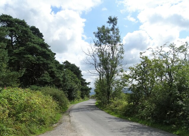
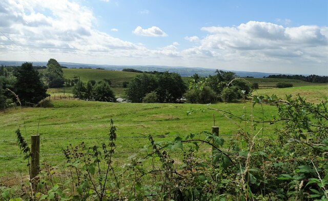
Rising to an approximate height of 198 meters (650 feet), Cutler's Hill offers breathtaking panoramic views of the surrounding areas. It is a popular spot for outdoor enthusiasts, hikers, and nature lovers, who are attracted by its beauty and accessibility. The hill is dotted with a variety of vegetation, including grasses, shrubs, and some scattered trees, which adds to its scenic appeal.
The ascent to the top of Cutler's Hill is moderately challenging, involving a mix of gentle slopes and steeper sections. The reward for reaching the summit is well worth the effort, as it provides an excellent vantage point to appreciate the natural beauty of the Lancashire countryside. On a clear day, one can observe rolling hills, lush farmland, and even catch a glimpse of nearby towns and villages.
Cutler's Hill has historical significance as well. In the past, it was used as a vantage point for other purposes, such as military observation during conflicts. Today, it serves as a peaceful retreat, attracting visitors who seek a tranquil escape from the hustle and bustle of urban life.
Overall, Cutler's Hill, Lancashire, stands as a picturesque landmark, offering breathtaking views and an opportunity to connect with nature in the heart of Lancashire's countryside.
If you have any feedback on the listing, please let us know in the comments section below.
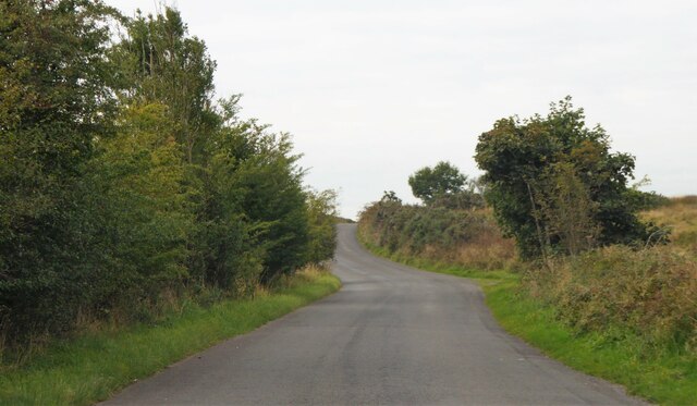
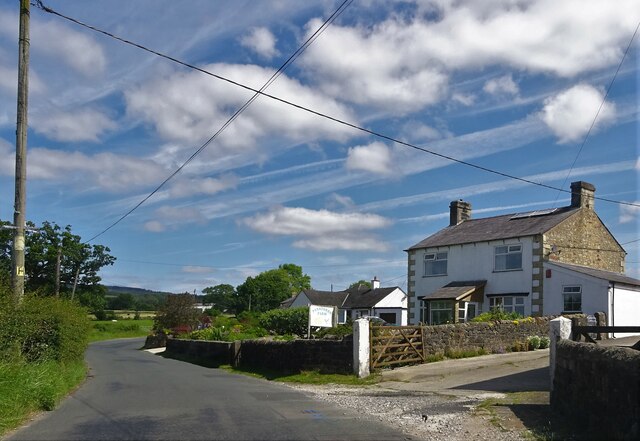
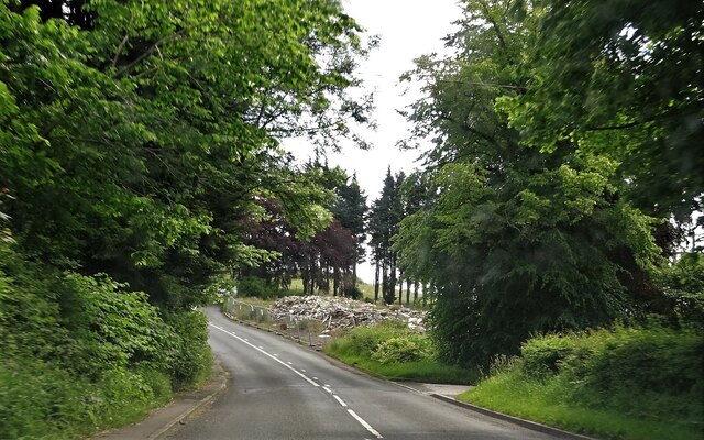
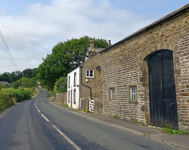
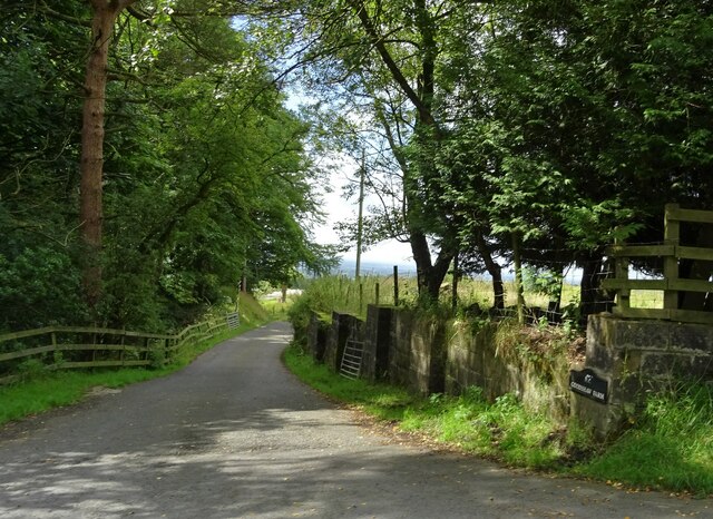
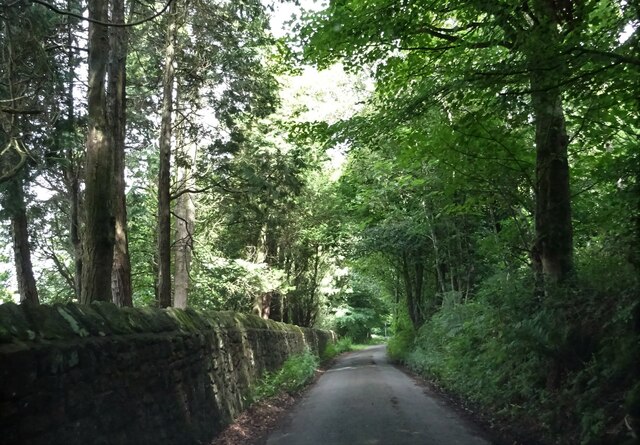
Cutler's Hill Images
Images are sourced within 2km of 53.845529/-2.5197095 or Grid Reference SD6538. Thanks to Geograph Open Source API. All images are credited.


Cutler's Hill is located at Grid Ref: SD6538 (Lat: 53.845529, Lng: -2.5197095)
Administrative County: Lancashire
District: Ribble Valley
Police Authority: Lancashire
What 3 Words
///desiring.arrived.emulated. Near Longridge, Lancashire
Nearby Locations
Related Wikis

Punch Bowl Inn
The Punch Bowl Inn was an 18th-century grade II-listed public house in Hurst Green, Ribble Valley, Lancashire, England. It consisted of a number of independent...

Aighton, Bailey and Chaigley
Aighton, Bailey and Chaigley is a civil parish in the Borough of Ribble Valley in Lancashire, England, just west of Clitheroe. The population of the civil...

Longridge Fell
Longridge Fell is the most southerly fell in England, near the town of Longridge, Lancashire. It lies at the southern end of the Forest of Bowland Area...
Dutton, Lancashire
Dutton is a civil parish in the Borough of Ribble Valley in the English county of Lancashire, its principal settlement being the hamlet of Lower Dutton...

Hurst Green, Lancashire
Hurst Green is a small village in the Ribble Valley district of Lancashire, England, connected in its history to the Jesuit school, Stonyhurst College...
Stydd
The manor of Stydd is in the county of Lancashire. It is situated on the north eastern edge of the village of Ribchester. It has three notable buildings...
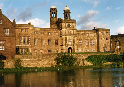
Stonyhurst
Stonyhurst is the name of a 1,000-acre (4 km2) rural estate owned by the Society of Jesus near Clitheroe in Lancashire, England. It is centred on Stonyhurst...

St Saviour's Church, Stydd
St Saviour's Church is an Anglican chapel in Stydd, a hamlet near Ribchester in Lancashire, England. It has been designated a Grade I listed building by...
Nearby Amenities
Located within 500m of 53.845529,-2.5197095Have you been to Cutler's Hill?
Leave your review of Cutler's Hill below (or comments, questions and feedback).