Cutler's Plantation
Wood, Forest in Lancashire Ribble Valley
England
Cutler's Plantation
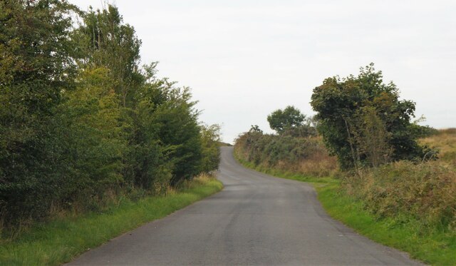
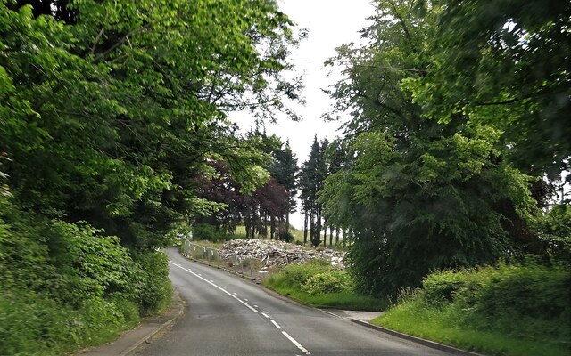
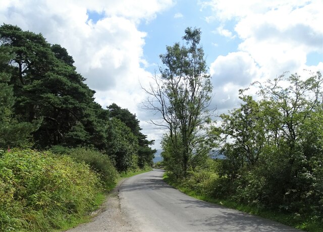
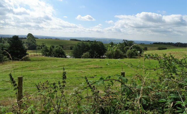
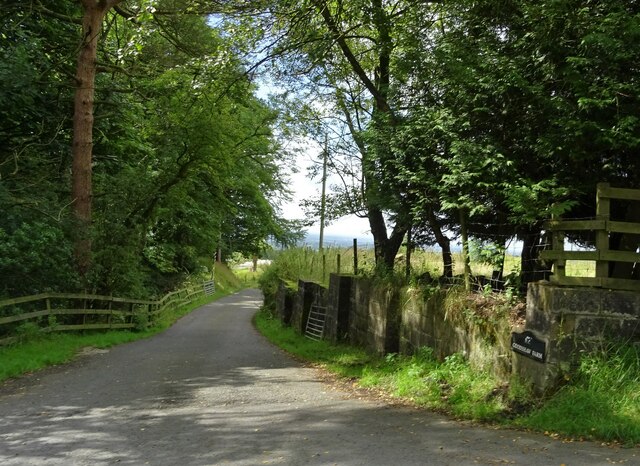
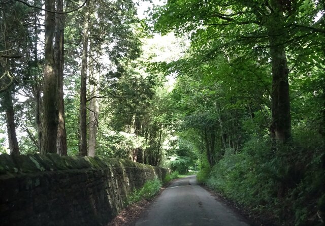
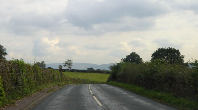
Cutler's Plantation, located in Lancashire, England, is a picturesque woodland area known for its abundant natural beauty and rich history. Spanning over several acres, the plantation is a popular destination for nature enthusiasts, hikers, and those seeking a peaceful escape from the bustling city life.
The plantation primarily consists of dense woodlands, with a variety of tree species such as oak, birch, and beech dominating the landscape. These trees provide a lush canopy, creating a serene and tranquil environment. The forest floor is adorned with a colorful carpet of wildflowers, adding to the plantation's charm.
Cutler's Plantation has a long and fascinating history. It was originally established as a timber plantation in the early 19th century, with the aim of providing a sustainable source of timber for the local area. Over the years, the plantation has been carefully managed to ensure the preservation of its natural resources.
Today, the plantation offers a range of recreational activities for visitors. There are well-maintained walking trails that wind through the woodland, allowing visitors to explore the plantation at their own pace. The area is also home to a diverse array of wildlife, including various bird species, deer, and small mammals, providing ample opportunities for wildlife spotting and photography.
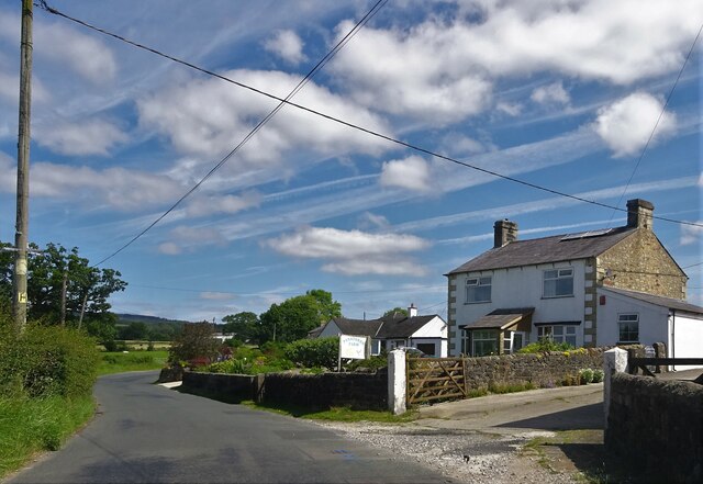
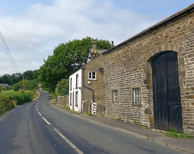
Cutler's Plantation is easily accessible, with ample parking facilities and nearby amenities. It is a popular destination for families, nature lovers, and outdoor enthusiasts alike, offering a peaceful retreat in the heart of Lancashire.
If you have any feedback on the listing, please let us know in the comments section below.
Cutler's Plantation Images
Images are sourced within 2km of 53.842615/-2.5200077 or Grid Reference SD6538. Thanks to Geograph Open Source API. All images are credited.


Cutler's Plantation is located at Grid Ref: SD6538 (Lat: 53.842615, Lng: -2.5200077)
Administrative County: Lancashire
District: Ribble Valley
Police Authority: Lancashire
What 3 Words
///matchbox.nuance.takes. Near Longridge, Lancashire
Nearby Locations
Related Wikis

Punch Bowl Inn
The Punch Bowl Inn was an 18th-century grade II-listed public house in Hurst Green, Ribble Valley, Lancashire, England. It consisted of a number of independent...

Dutton, Lancashire
Dutton is a civil parish in the Borough of Ribble Valley in the English county of Lancashire, its principal settlement being the hamlet of Lower Dutton...

Aighton, Bailey and Chaigley
Aighton, Bailey and Chaigley is a civil parish in the Borough of Ribble Valley in Lancashire, England, just west of Clitheroe. The population of the civil...
Longridge Fell
Longridge Fell is the most southerly fell in England, near the town of Longridge, Lancashire. It lies at the southern end of the Forest of Bowland Area...
Stydd
The manor of Stydd is in the county of Lancashire. It is situated on the north eastern edge of the village of Ribchester. It has three notable buildings...

St Saviour's Church, Stydd
St Saviour's Church is an Anglican chapel in Stydd, a hamlet near Ribchester in Lancashire, England. It has been designated a Grade I listed building by...

Hurst Green, Lancashire
Hurst Green is a small village in the Ribble Valley district of Lancashire, England, connected in its history to the Jesuit school, Stonyhurst College...
Almshouse, Ribchester
Ribchester Almshouse is a building on Stydd Lane in the English manor of Stydd, near Ribchester, Lancashire. It dates to 1728 and is a Grade II* listed...
Nearby Amenities
Located within 500m of 53.842615,-2.5200077Have you been to Cutler's Plantation?
Leave your review of Cutler's Plantation below (or comments, questions and feedback).